AO Edited
Sweden's Geographical Midpoint
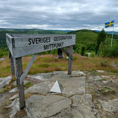
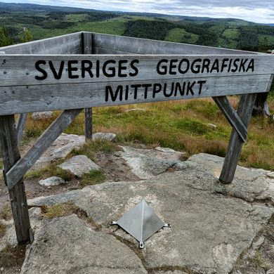
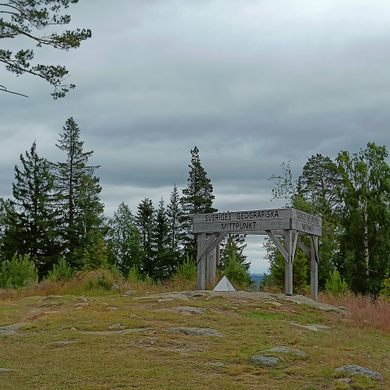
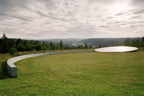
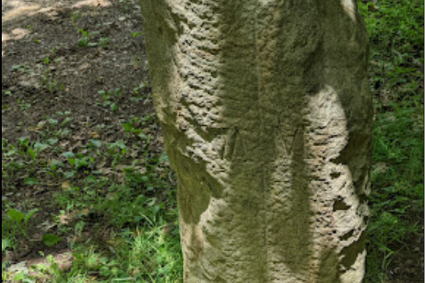
The "geometrical" center of the country, as calculated in 1947.
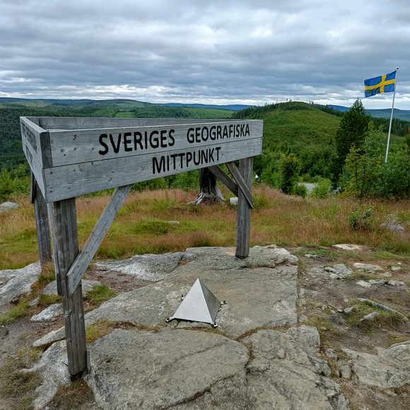
Calculating the center of a country is a difficult and often controversial task. There are many different methods of finding such a point, varying in complexity and popularity. The midpoint at Flataklocken is the “geometrical” center of Sweden, which accounts for the country’s islands without measuring the water in between.
Geographers Nils Friberg and Tor Andeldorf of Stockholm University calculated the point in 1947. They did so using a rigid map of the country that had the islands of Öland and Gotland attached to the mainland. Friberg and Andeldorf moved a needle under the map until they landed on a spot where the shape balanced. This, going by their method, was Sweden’s geographical center, or Sveriges geografiska mittpunkt.
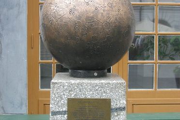
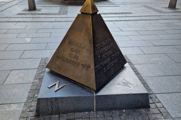
With the midpoint decided, a group including Allt magazine editor Gustaf von Platen, explorer Hans Ostelius, and orienteer Gösta Lagerfelt trekked out to mark it. Today there is a modest metal pyramid, wooden sign, and Swedish flag at the mountaintop spot. A small restaurant beside the midpoint serves hungry adventurers.
Know Before You Go
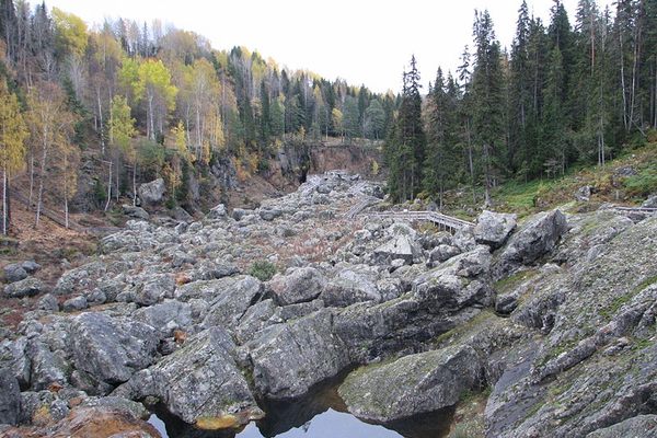
A standard car can handle the mostly paved roads to the midpoint, but note that the last part is a dirt road with many curves.


Plan Your Trip
The Atlas Obscura Podcast is Back!


Follow us on Twitter to get the latest on the world's hidden wonders.
Like us on Facebook to get the latest on the world's hidden wonders.
Follow us on Twitter Like us on Facebook