


About
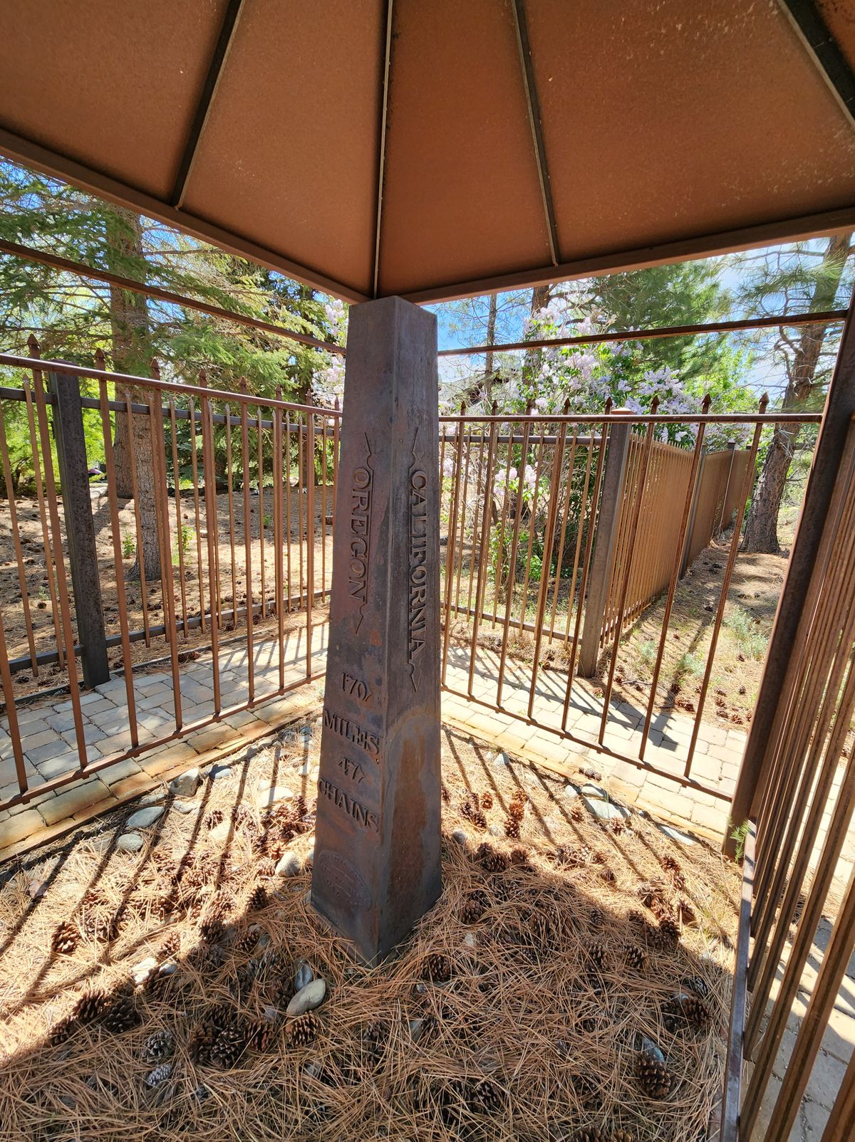
California was the first state to be carved out of the far western territories, and the question of its eastern boundary was a bit contentious—not least because so little was known about the geography east of the Sierra Nevada. A convention in 1849 finally decided on arbitrary geographic lines on the map. In the north, the eastern boundary would run along the 120th meridian of longitude from the 42nd parallel of latitude (the southern boundary of the Oregon territory) south to the 39th parallel. Then it would run southeasterly from this point of intersection down to where the 35th parallel intersects the Colorado River.
It's one thing, though, to draw lines on a map, but quite another to actually establish them on the ground. For example, no one realized at the time that the intersection of the 120th meridian and the 39th parallel lies out in Lake Tahoe.
This merely underscores the staggering ignorance of the "ground truth" at the time. So it might have been expected, in a matter of this importance, that surveying parties would be amply funded to determine the ground locations.
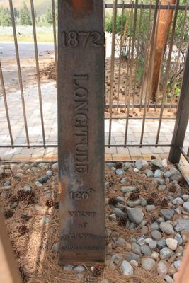
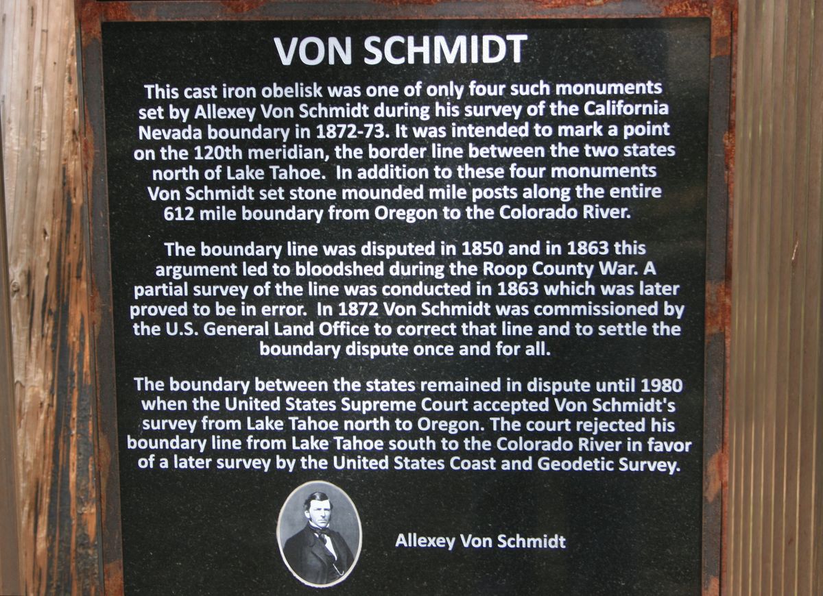
But in fact for the next 20-odd years surveys were piecemeal and underfunded, with conflicting locations at one point resulting in actual violence between competing jurisdictions in California and Nevada. Belatedly, in 1872, Congress authorized a new survey of the California-Nevada line, and astronomer and surveyor Alexey Von Schmidt was hired to carry it out.
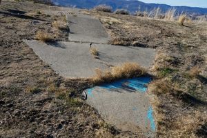
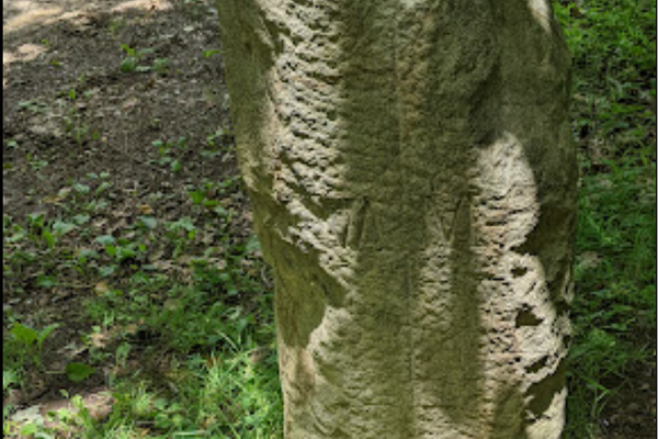
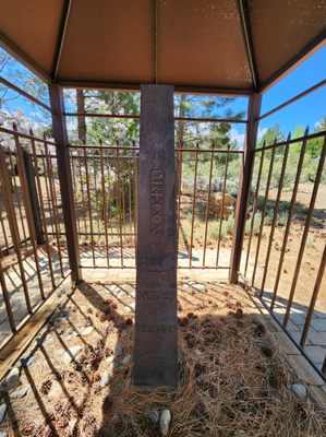
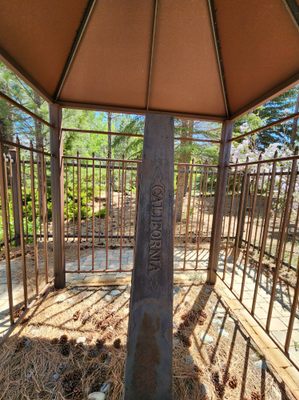
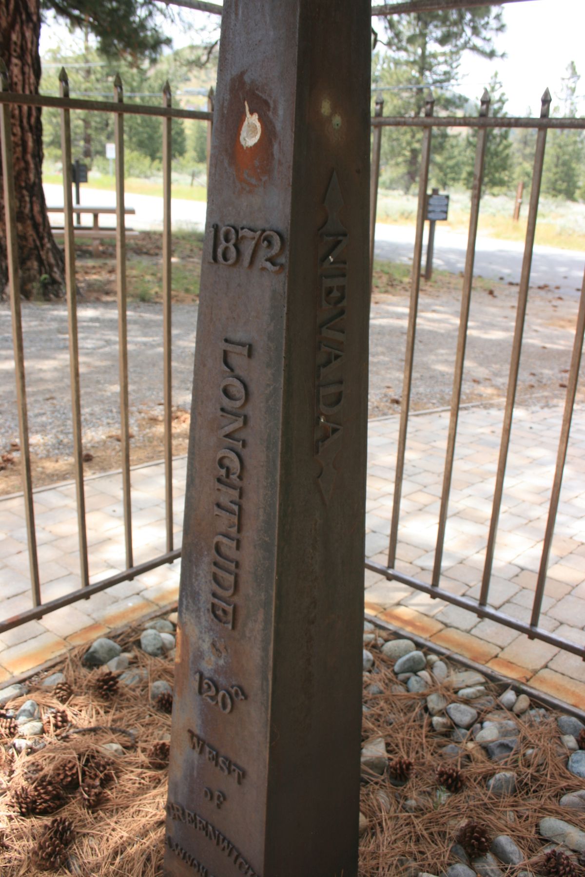
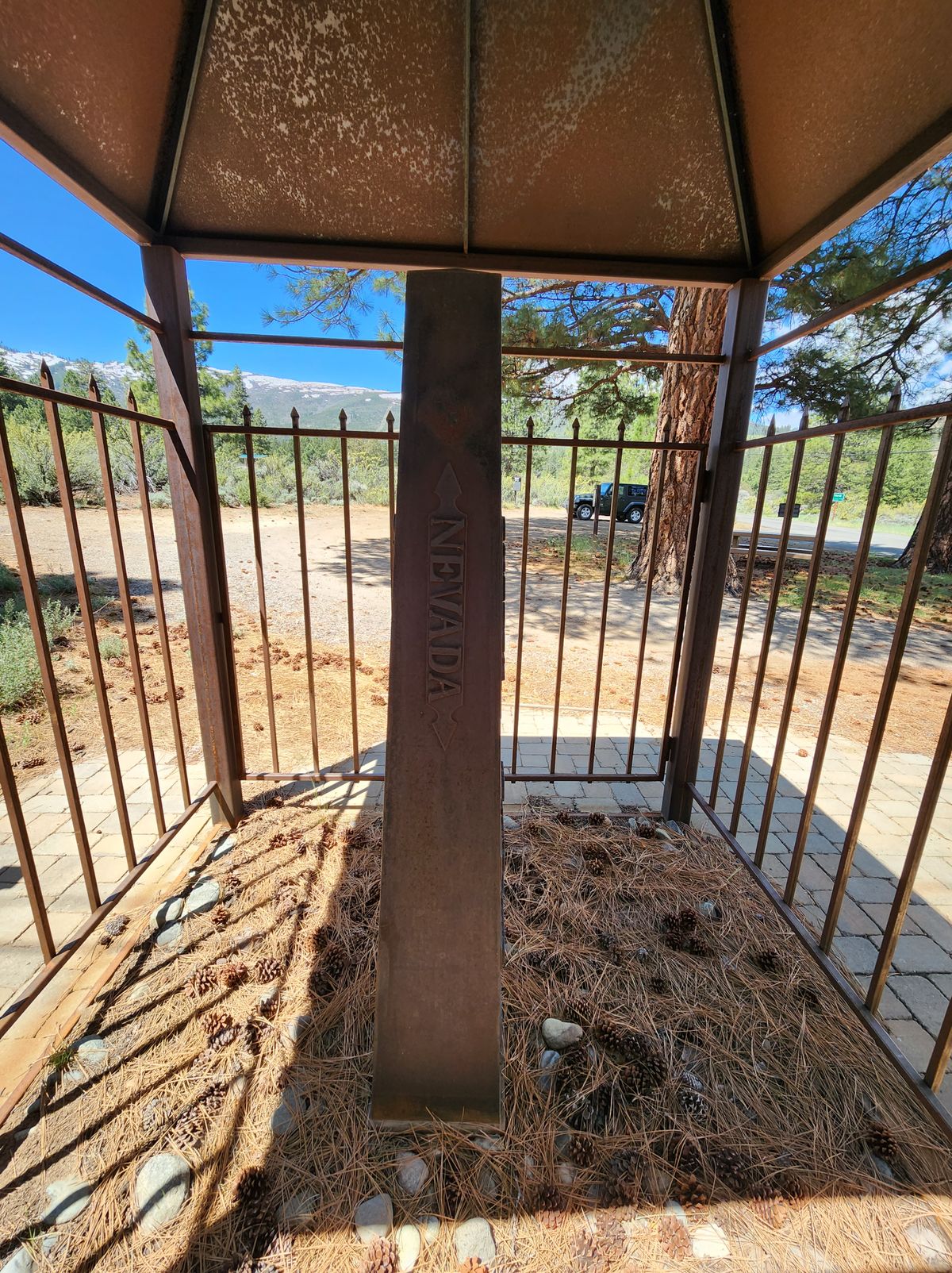
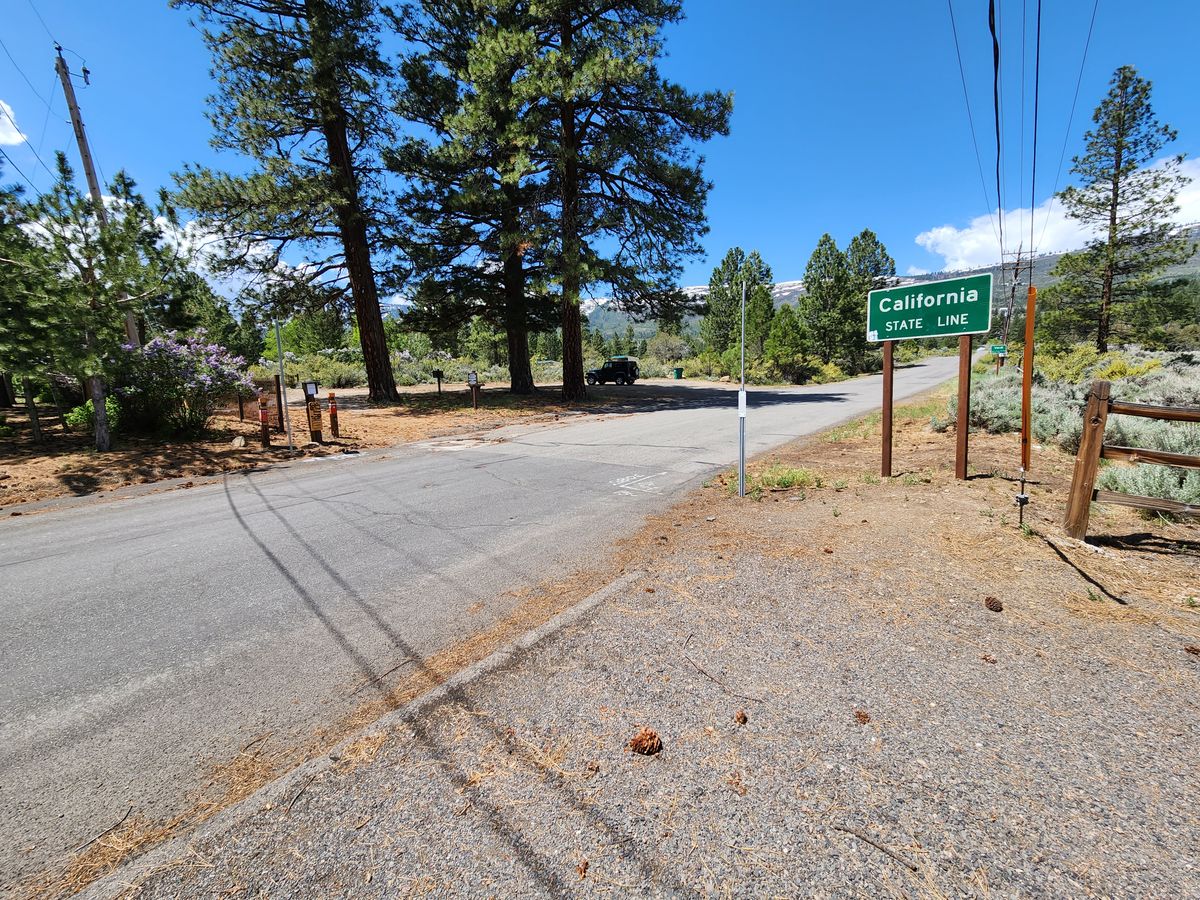
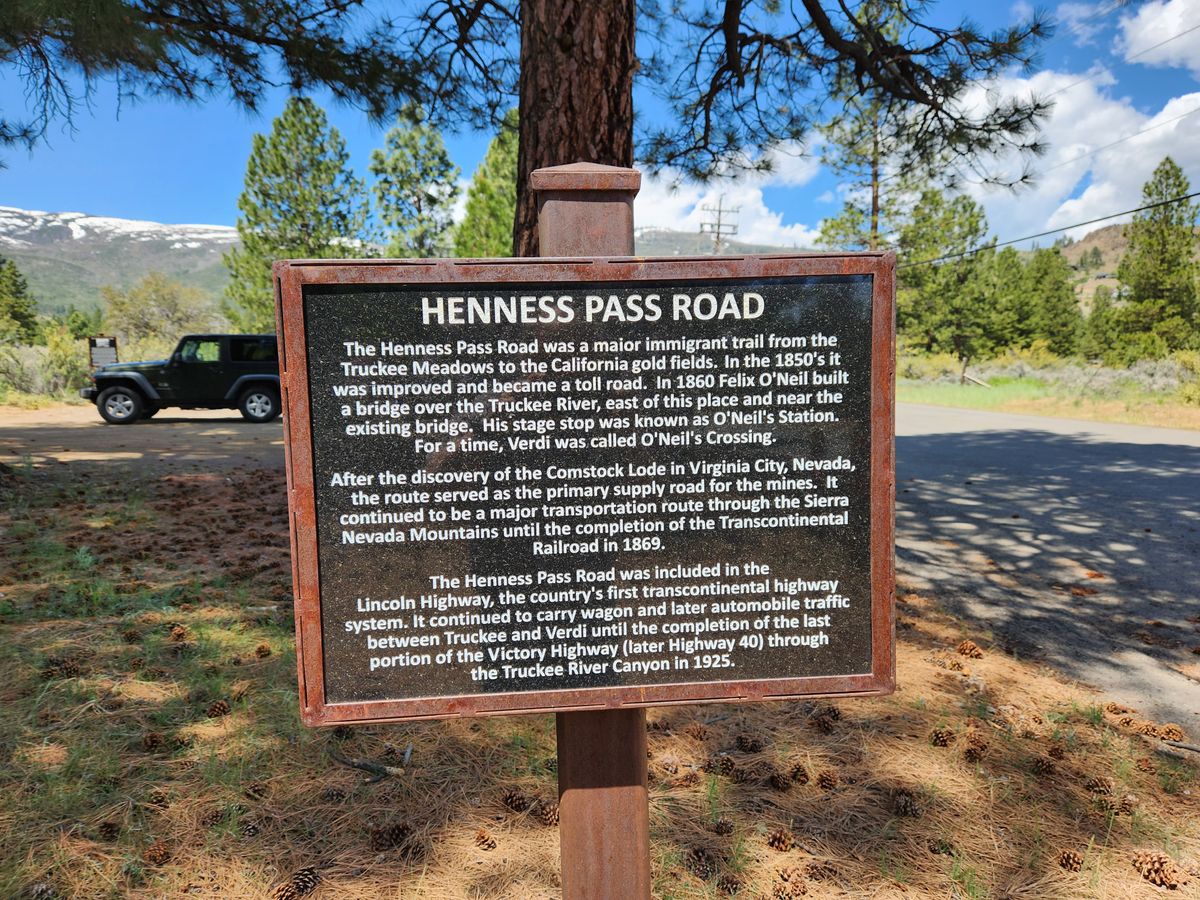
Von Schmidt built this monument at what he determined was the intersection of the 120th meridian with what was then the Henness Pass Road, at that time a busy route between California and Nevada. (It's now called the Dog Valley Road through here.) Determining longitude is especially difficult because it requires precise measurements of time. The difference between local noon (when the sun is highest in the sky) and Greenwich noon gives the longitude directly.
However, a clock that could reliably keep Greenwich time under the primitive conditions of a survey carried out on horseback was a challenge for 19th-century technology. Von Schmidt wanted to use then-new telegraph technology to precisely measure time differences, but he was overruled. The result was that controversy still simmered for over a century about the accuracy of his survey, in particular about the location of the 120th meridian.
It wasn't until 1980 that a Supreme Court decision finally affirmed the Von Schmidt line as the official boundary between California and Nevada north of Lake Tahoe.
Related Tags
Know Before You Go
From Verdi, Nevada: if eastbound, take Exit 2 off Interstate 80 and follow it over the freeway to Business 80 (State Route 425/3rd Street). Turn right (north) and go 1 mile to the intersection with Bridge Street. Turn left here. Then go 0.6 miles to the intersection with Dog Valley Road and turn right. Go to the state line (0.3 miles) from here; the monument is just off the road to the left.
If westbound, turn at Exit 3 on I-80 and turn right on South Verdi Road and go 0.4 mile. Turn left on Bridge Street. It is 0.1 mile to 3rd street; continue straight across 3rd Street and proceed as above.
Community Contributors
Added By
Published
October 5, 2023
Sources
- https://nevadamagazine.com/issue/september-october-2018/8011/
- The Colorful History of the California/Nevada State Boundary (in 2 parts), Professional Surveyor, Jan and Feb 2002. (Available online at https://juliacbulette.com/wp-content/uploads/2013/04/The-Colorful-History-of-the-California-Nevada-State-Boundary.pdf)