


About
While in everyday life we do not use it much directly, it is crucial to know the elevation of a place to properly build and construct. For most of the world, this is based on the Amsterdam Ordinance Datum. Before this standard was put in place, each country had its own datum, off of which they could base measurements of elevation, like Sweden's Normalhöjdpunkten.
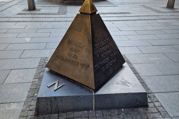
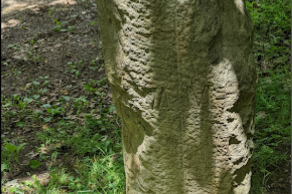
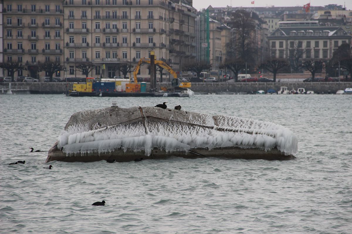
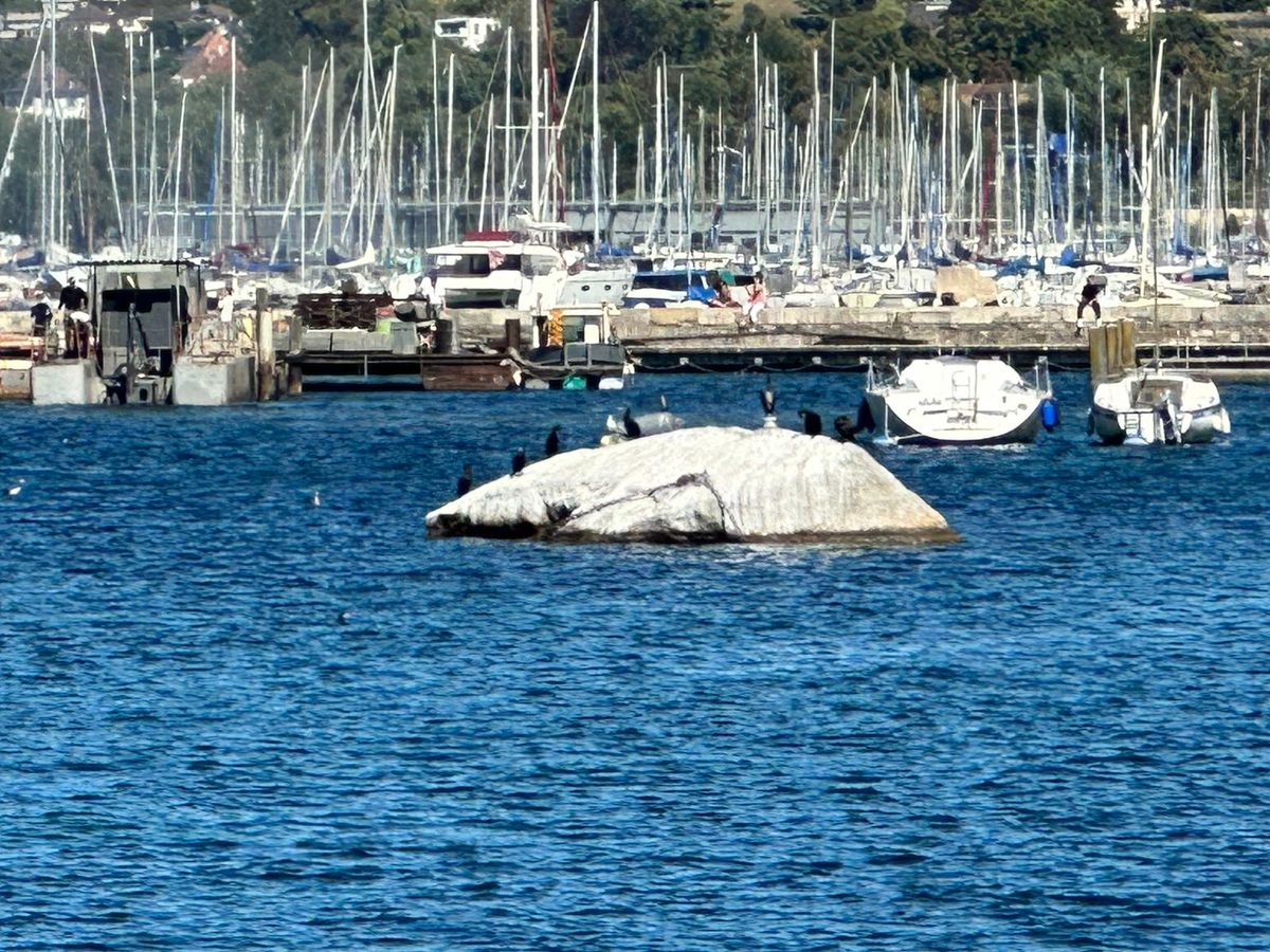
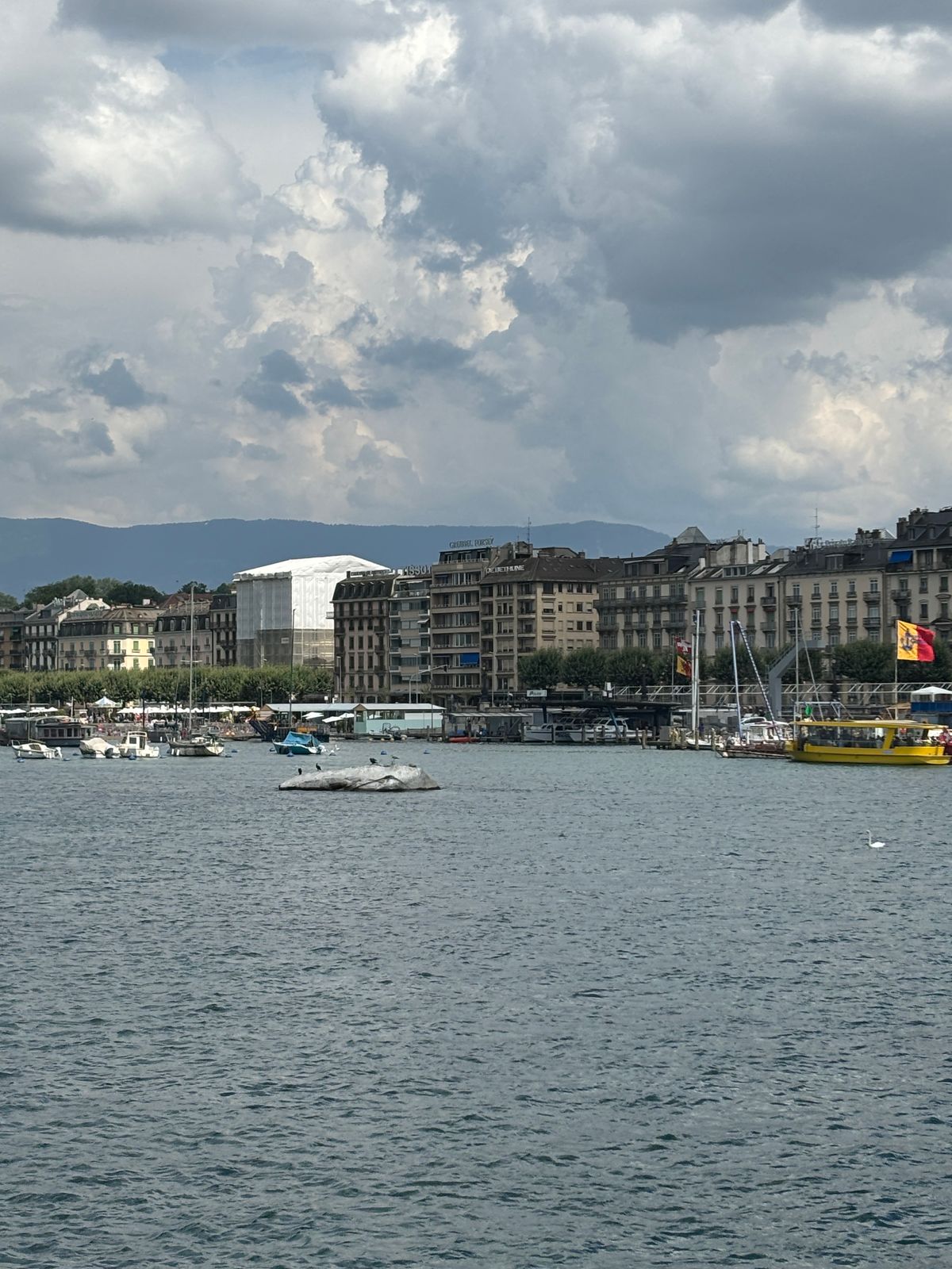
Switzerland is no different, but because the landlocked country did not have access to the sea, they based their measure on a seemingly random stone in Lake Geneva. The Pierres du Niton (Neptune's Stones) are a pair of glacial erratics, rocks transported by the movement of a glacier. The stones in Geneva harbor were left behind as the Rhône glacier moved across this landscape in the last ice age.
The reference point of the Swiss altimeter system was defined at the Pierres du Niton in the early 19th century. Later measurements, determined by a large web of connected points between Geneva and Marseille, France, put the Pierres du Niton marker's elevation at precisely 373.6 meters above sea level. The stone was picked primarily because of its proximity to the French border and a location that was unlikely to be disturbed by construction or other human activity.
Related Tags
Know Before You Go
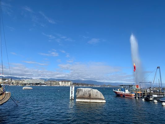
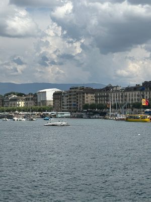
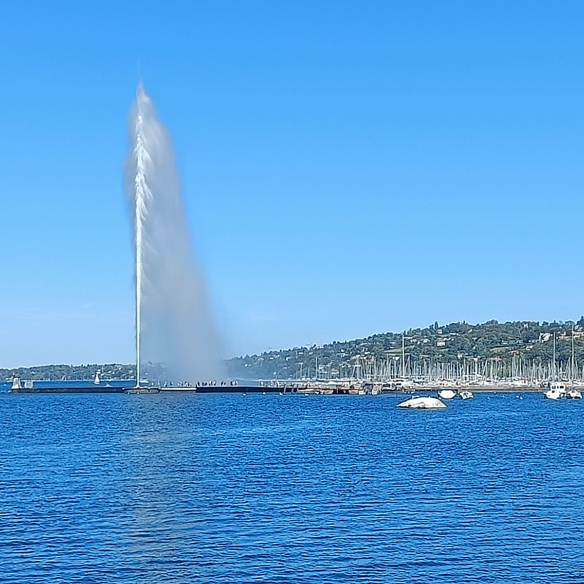
The stone is best seen from the south side of the lake, close to L’horloge Fleurie (The Flower Clock). Swimming is not allowed in that area of the lake, but boats crossing the lake do go by it.
Community Contributors
Added By
Published
September 27, 2023