Washburn's Station
It bustled briefly in the late 1860s, but little is now left at this stage stop on the Hamilton/Pioche Stage and Freight Road


The precious metal strikes at Hamilton were ephemeral even by the standards of mining rushes in the Old West, and by the late 1860s, hopeful miners were already decamping for the next big strike. For many that was the newly booming—and, as it would prove, longer-lived—town of Pioche (pronounced pee-OASH), more than 100 miles to the southeast.
The Hamilton/Pioche Stage and Freight Road had sprung up to carry the traffic, and ca. 1869, there were around six stages each day. At the stations, such as this one, the stage would swap horses, and both the driver and passengers would get a meal.
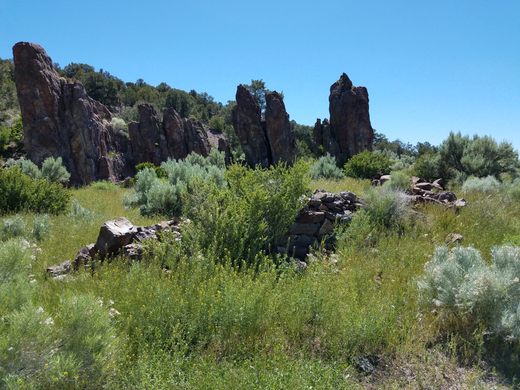
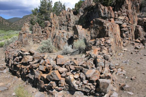
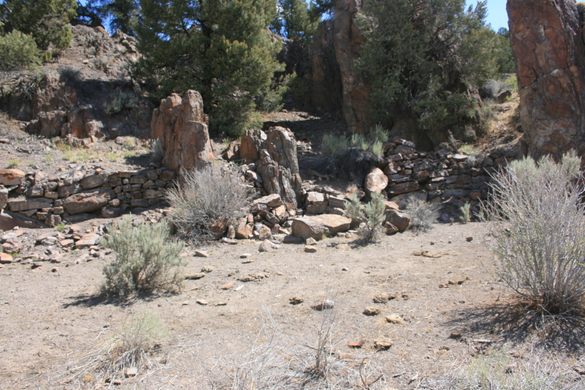
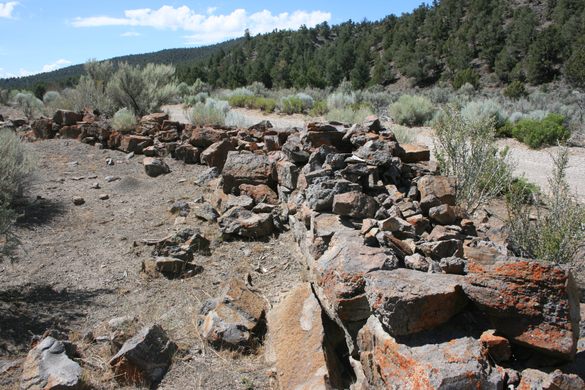
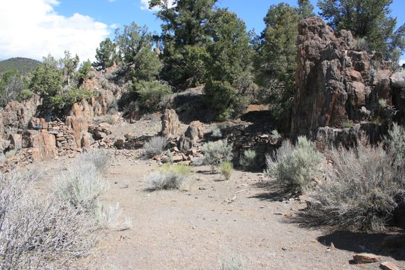
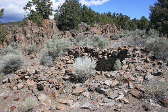
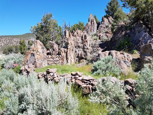
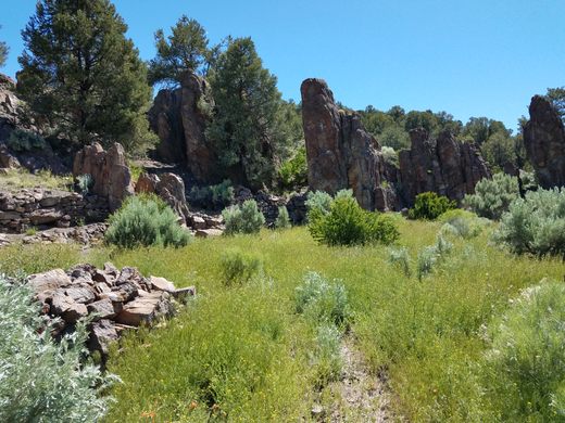
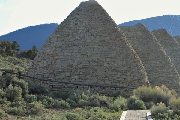
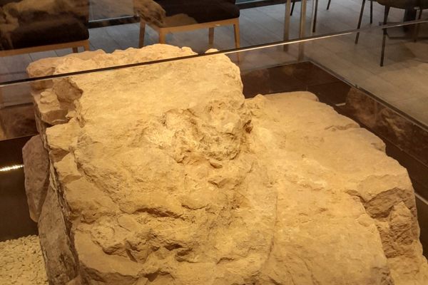
Washburn’s Station was never imposing. The “buildings” consisted of unmortared rock walls, some of which were built into natural outcrops. Archeological investigations and contemporary accounts indicate the walls were never much taller than what’s left now. The upper two-thirds or so of the “wall” was canvas, so the structures were essentially tents braced by piled-up rocks at the base.
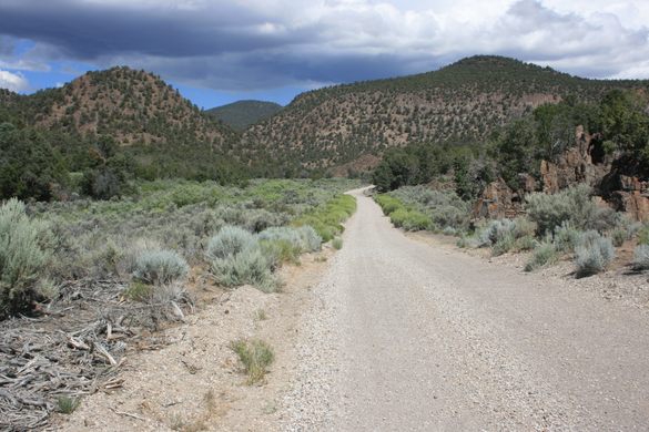
The modern road (US Forest Service 402/Co. Road 10/Ellison Creek Road) is thought to closely follow the original stage route. Remarkably, the old stage road still largely exists to Hamilton, some 23 miles to the north, although it is hardly a major route at this point. So, by the time passengers arrived at Washburn’s Station, they were less than a quarter of the way into their journey–but were no doubt already thoroughly sick of stagecoach travel.
Know Before You Go
The turnoff onto USFS 402 (a.k.a. Ellison Creek Road) is on US-6, on the right (north) some 3.4 miles west of the intersection of State Route 318. The coordinates of the USFS 402 junction are at roughly 38.953835 N, 115.153309 W. USFS 402 is a graded road that should be passable to passenger cars from Highway 6 in dry weather, but beware of washouts. Follow USFS 402 about 10.8 miles from the intersection with US 6.
The ruins of Washburn's are on the road to the right, with coordinates about 39.039567 N, 115.300123 W. (Note: some atlases show Washburn's Station as only about 8 miles up USFS 402, near the former site of Willow Grove, but that is incorrect.)
It's possible to come in from Hamilton, 23 miles to the north, along the old stage line (beginning as USFS 401, then making a shallow left onto USFS 402 3.5 miles from Hamilton), but that is not a passenger car road. High clearance will be required and probably 4WD in places.
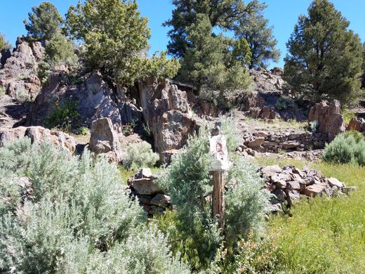
The Washburn's Station site was excavated professionally in the 2000s. Much of the brush was removed, as it was disrupting the ruins, so although vegetation is returning, the site is more visible than it had been.
Please don't disturb any of the ruins.

Plan Your Trip
The Atlas Obscura Podcast is Back!


Follow us on Twitter to get the latest on the world's hidden wonders.
Like us on Facebook to get the latest on the world's hidden wonders.
Follow us on Twitter Like us on Facebook