


About
A traveler driving down the lonely desert expanse of US Highway 6 under the vast Nevada sky can’t help but to feel small in the grand scheme of things.
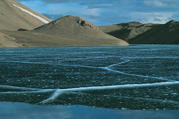
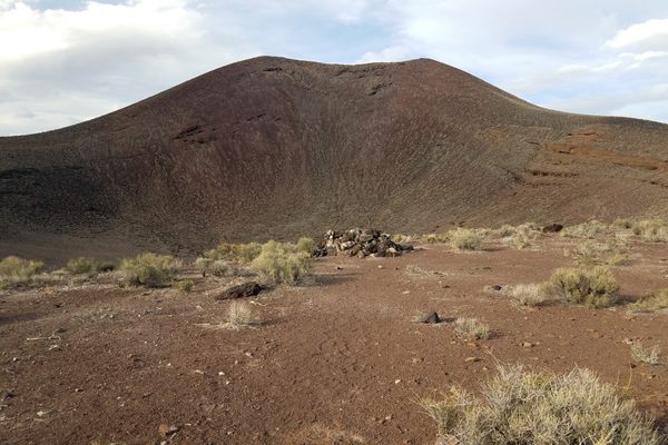
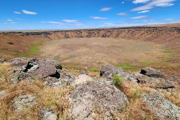
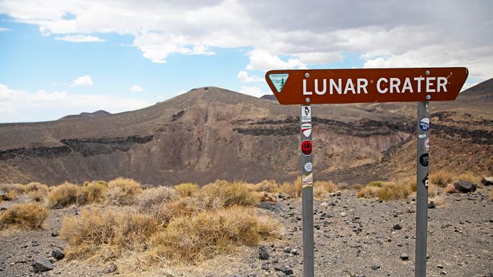
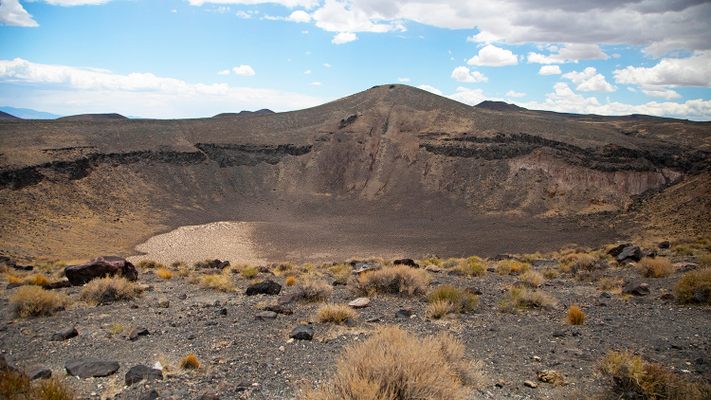
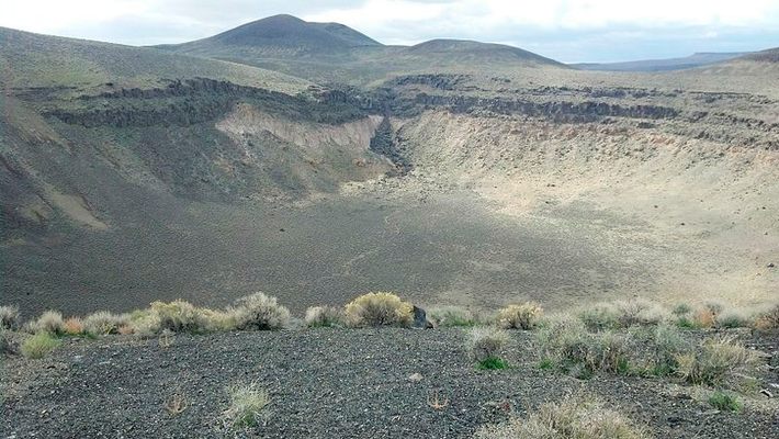
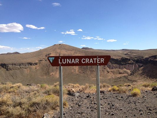
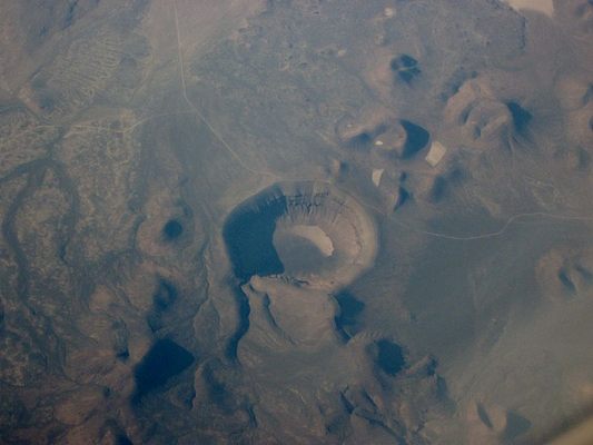
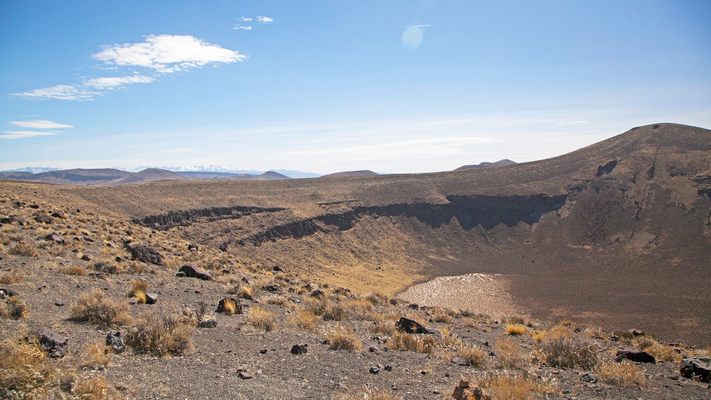
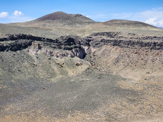
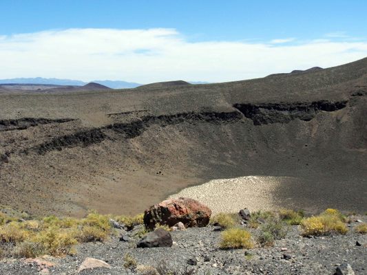
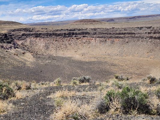
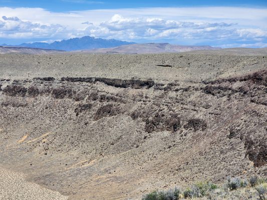
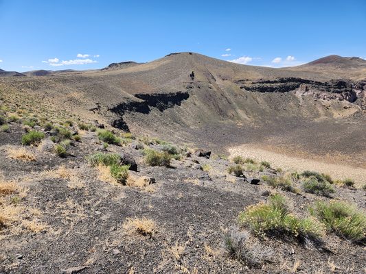
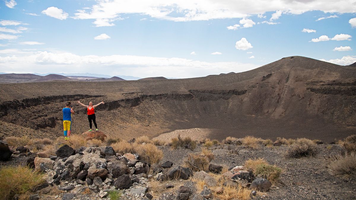
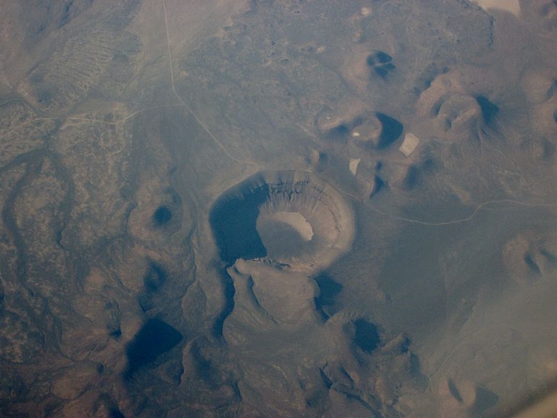
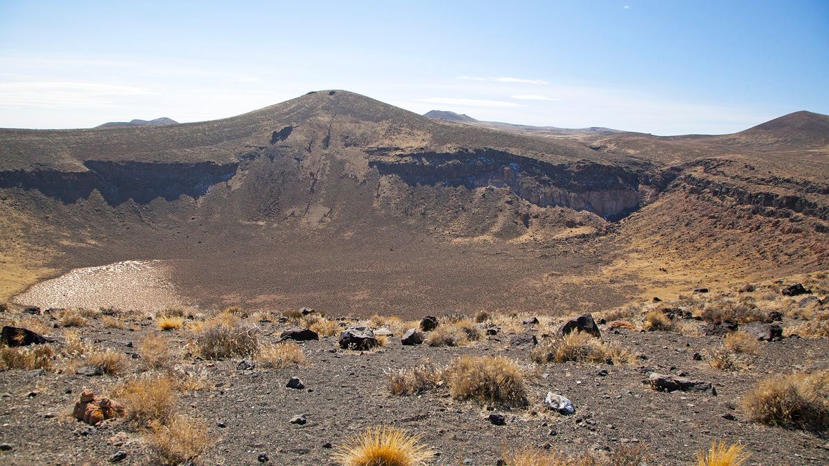
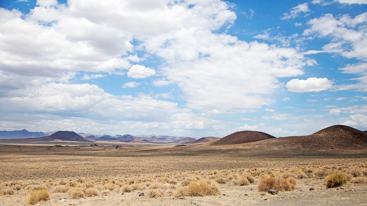
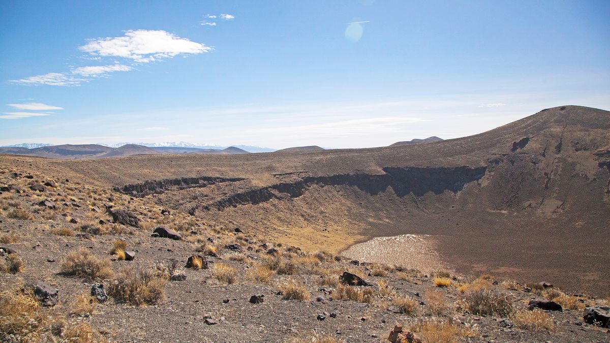
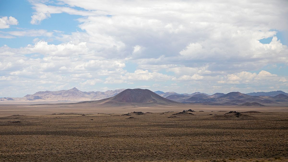
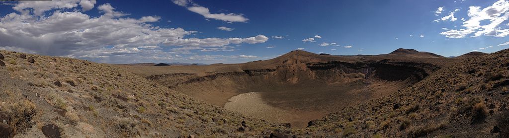
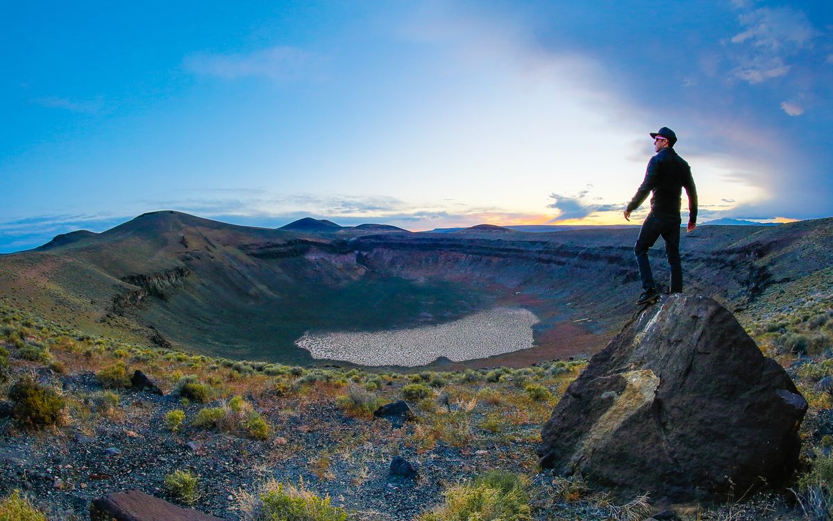
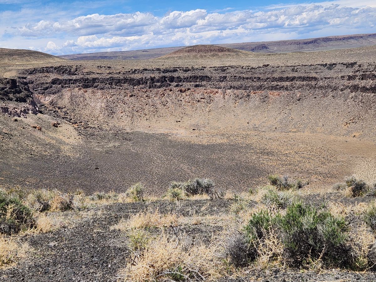
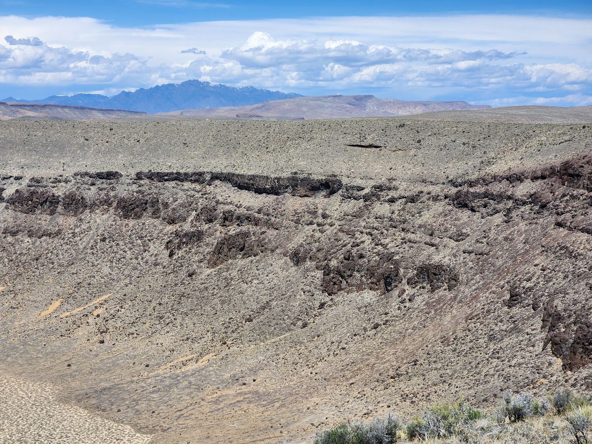
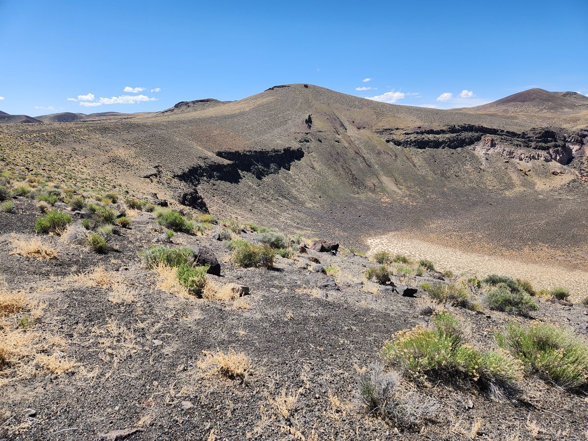
But about midway between Tonopah and Ely, out in the middle of nowhere, this open space becomes even emptier. About 8 miles off the main drag is the 400-acre and 430-foot deep Lunar Crater, the immense focal point of a volcanic field that extends over 100 square miles through the region. Looking out from the crater’s rim, this pockmarked topography looks like something from outer space. You feel very small indeed.
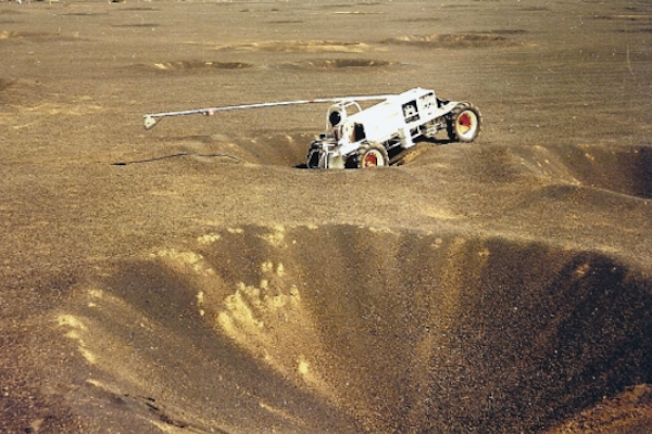
Lunar Crater is what’s called a maar, a particular geologic formation that occurs when groundwater comes into contact with lava. As the resulting basin looks much like a meteor crater, this site was selected as one of the several “Terrestrial Analogue Sites” used by NASA to prepare astronauts for the Apollo Moon missions. Wearing chest-mounted cameras, astronauts traversed with rovers across the crater’s surface, practicing rock sample collection and checklist procedures.
As important as checklists are on the Moon, they’re important on Earth too. A NASA geologic training mission in 1972 nearly went awry due to Lunar Crater’s isolation. One rover carrying two astronauts broke down nearly two miles from the rest of the field personnel after the vehicle's transmission was disrupted by a loose stone. There was no radio to communicate with the rest of vehicles, which were getting ready to head back to Tonopah. While Tonopah is the nearest town to the crater, it’s still a full 80 miles away.
The stranded astronauts made it at the very last second after one of them, Commander John Young, broke into a sprint across the crater and managed to flag down the last car. Good thing, too. No need for a cold night in the desert when the real Moon awaits.
Related Tags
Know Before You Go
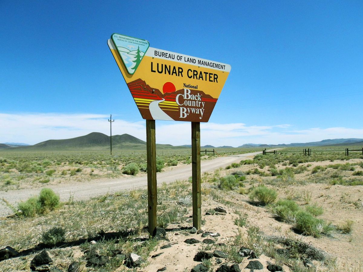
From Tonopah, drive 75 miles east along U.S. Highway 6. From the signpost, it is an 8-mile drive to the edge of the crater. The view is most expansive from the east rim. The road to the crater may be sandy, deep enough to get stuck in, so a high clearance vehicle or 4WD is recommended if it hasn't been graded. Bring plenty of water and make sure you have gas in the car – it's a long way back to town.
Community Contributors
Added By
Published
July 8, 2016
Sources
- https://en.wikipedia.org/wiki/Lunar_Crater_National_Natural_Landmark
- http://www.americansouthwest.net/nevada/lunar_crater/national_natural_landmark.html
- http://www.dri.edu/news/2211-researchers-from-nevada-dri-unlv-help-nasa-enhance-exploration-of-moon-mars
- http://ntrs.nasa.gov/archive/nasa/casi.ntrs.nasa.gov/19720025684.pdf
- http://ston.jsc.nasa.gov/collections/TRS/_techrep/SP-2015-626.pdf