


About
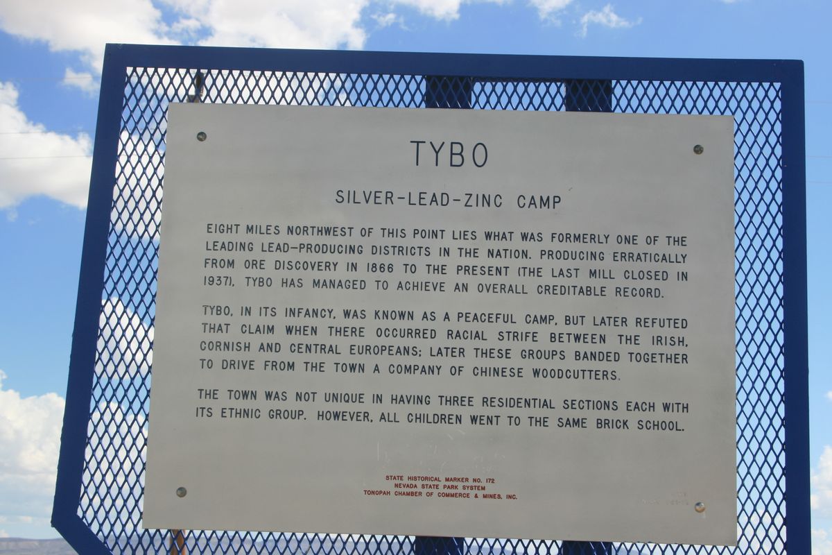
The name of this former mining community in Nevada is said to come from a Shoshone term meaning "white man's district." A Native American reportedly showed prospectors silver-bearing rock around 1870, and within a few years later a mining operation was underway. The main producer was the Tybo Consolidated Mill, built in 1875.
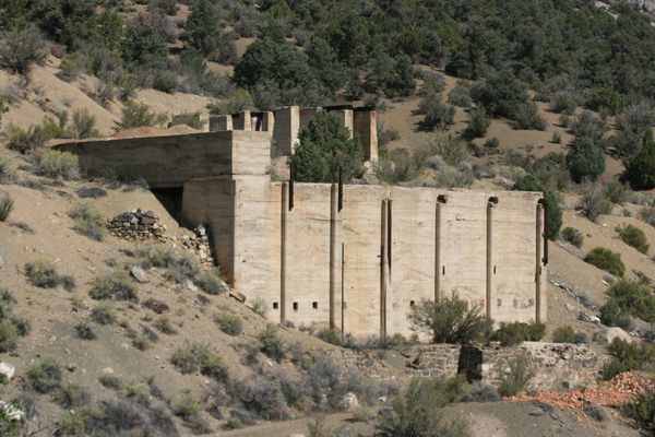
The ore contained lead, silver, and zinc, but the amount of silver dwindled with depth. Such near-surface concentration of precious metals is called supergene enrichment. It results from weathering and oxidation and is common on ore deposits, but not understood at the time. In any event, the low silver content finally led to the mine's closure in 1880.
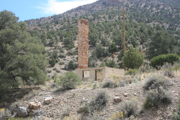
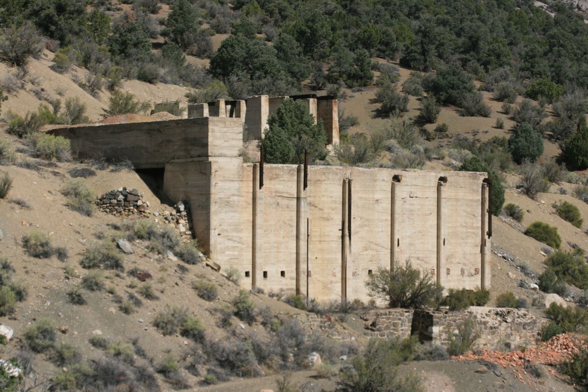
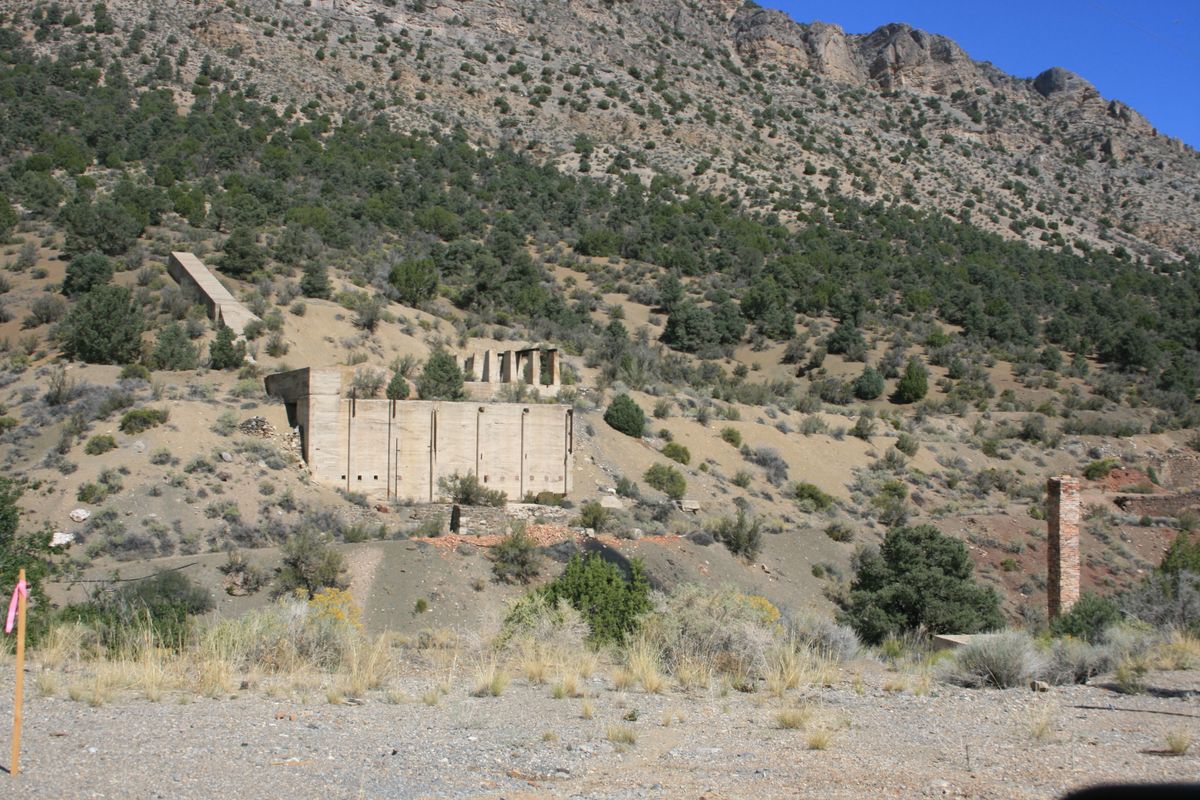
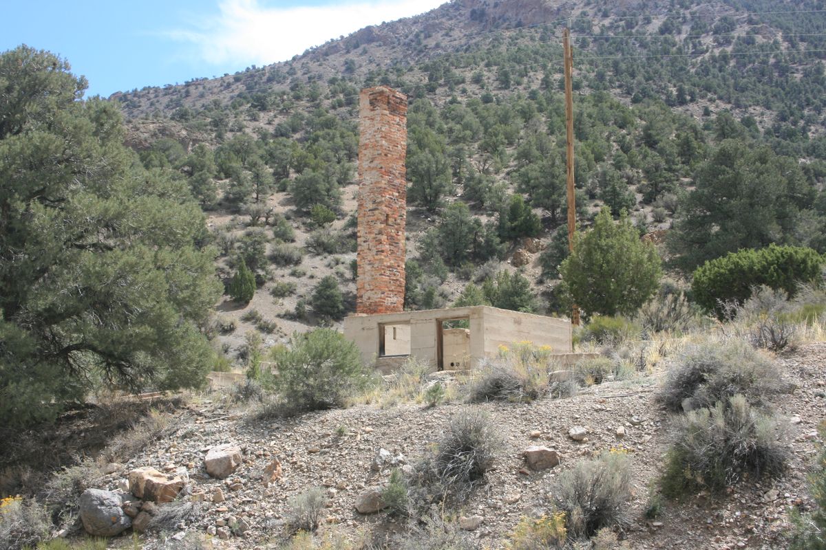
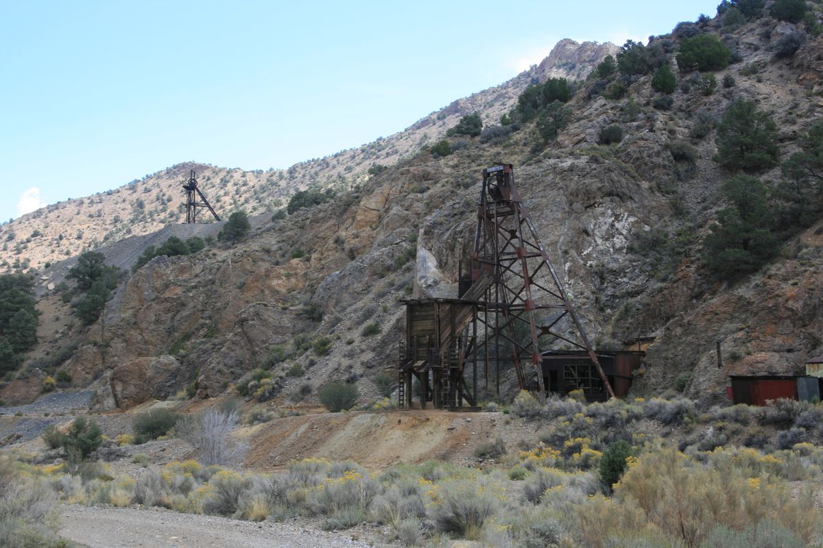
Tybo was never abandoned completely. Intermittent, low-key activity continued for the next few decades, and after several false starts, the Tybo mine was revived in the 1920s as the Treadwell-Yukon mine. Its primary product was lead (a commodity that had more in demand than it does today), with byproducts of silver and zinc. In 1929, a new mill was built below a shaft higher on the slope so that ore could be moved directly from mine to mill. Electrical service was also provided to the town. But this rejuvenation was short-lived, and the mine closed once again in 1937.
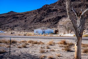
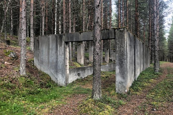
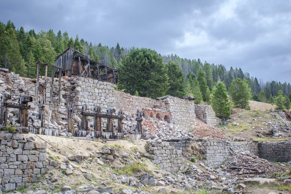
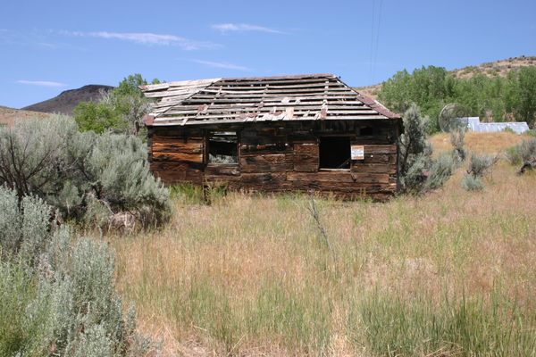
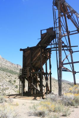
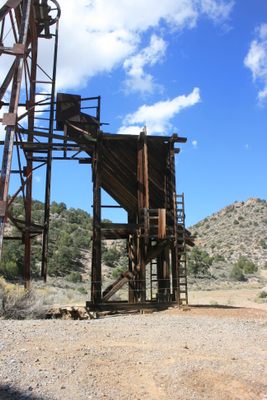
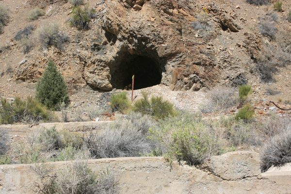
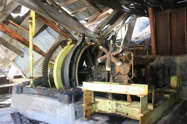
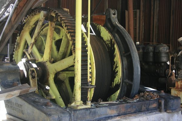
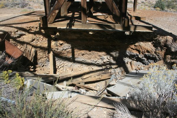
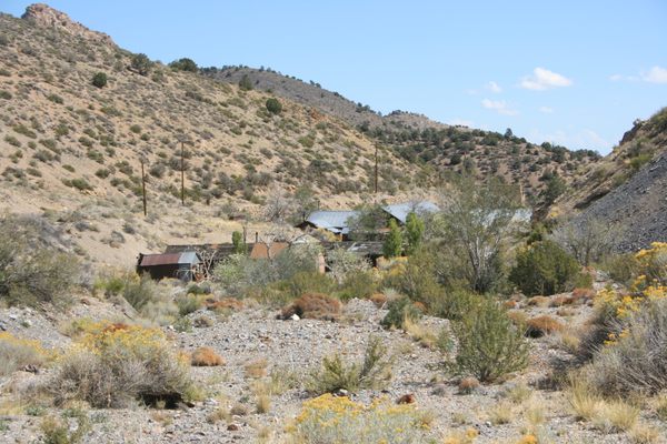
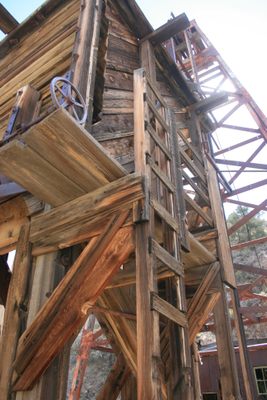
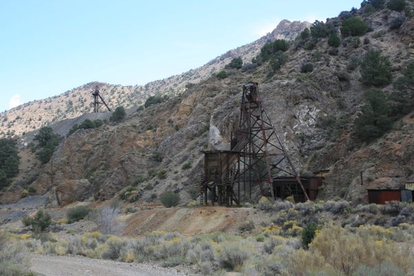
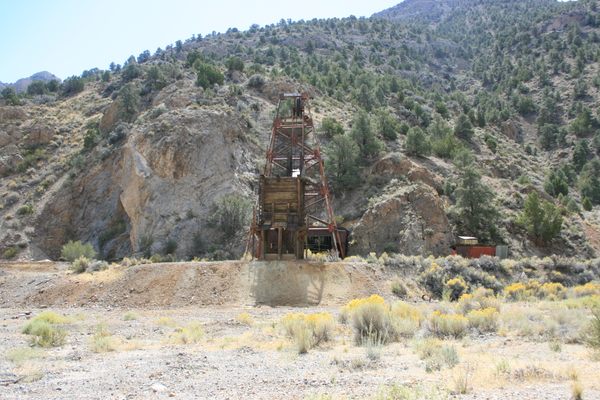
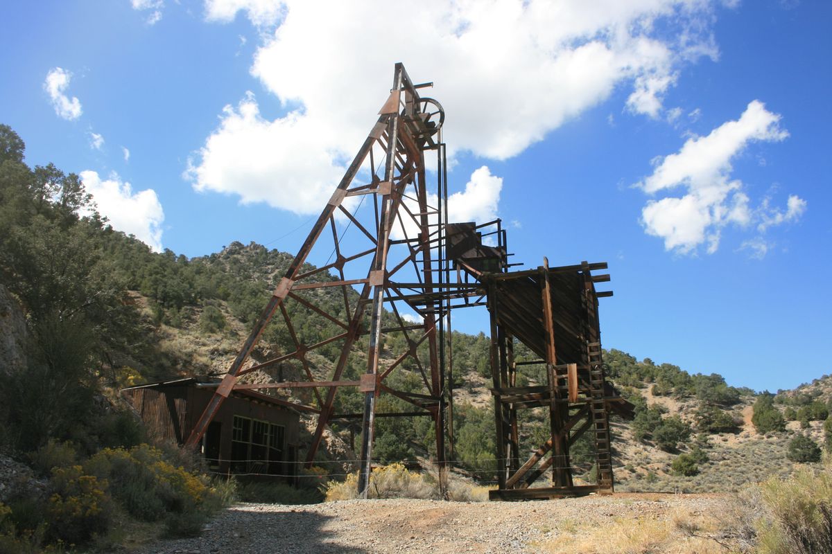
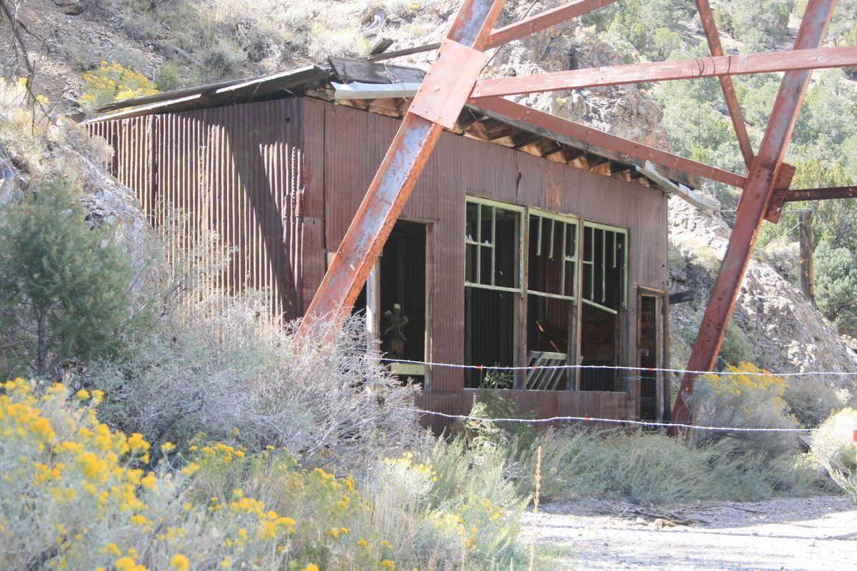
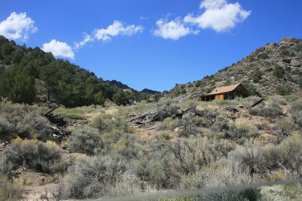
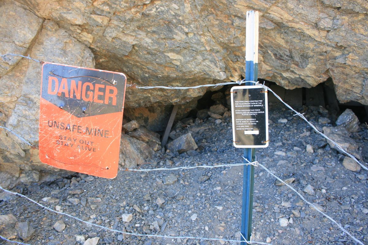
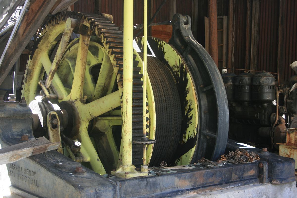
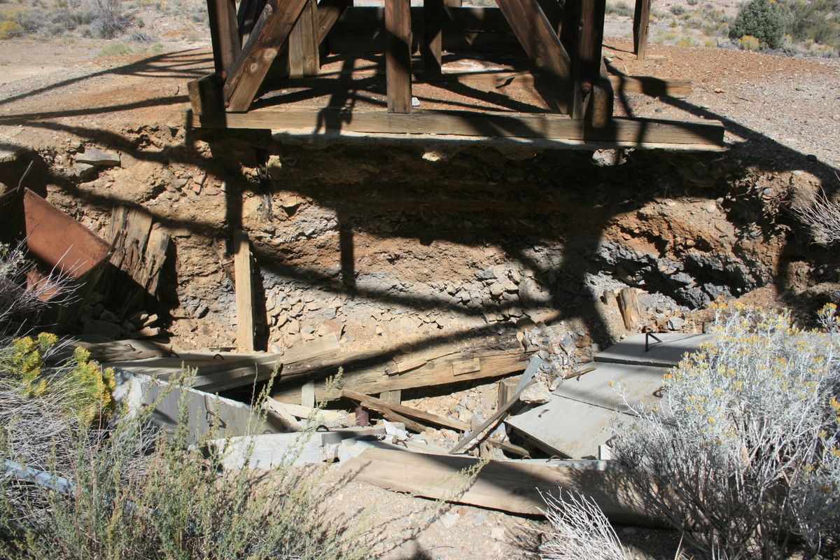
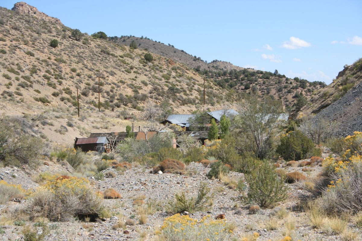
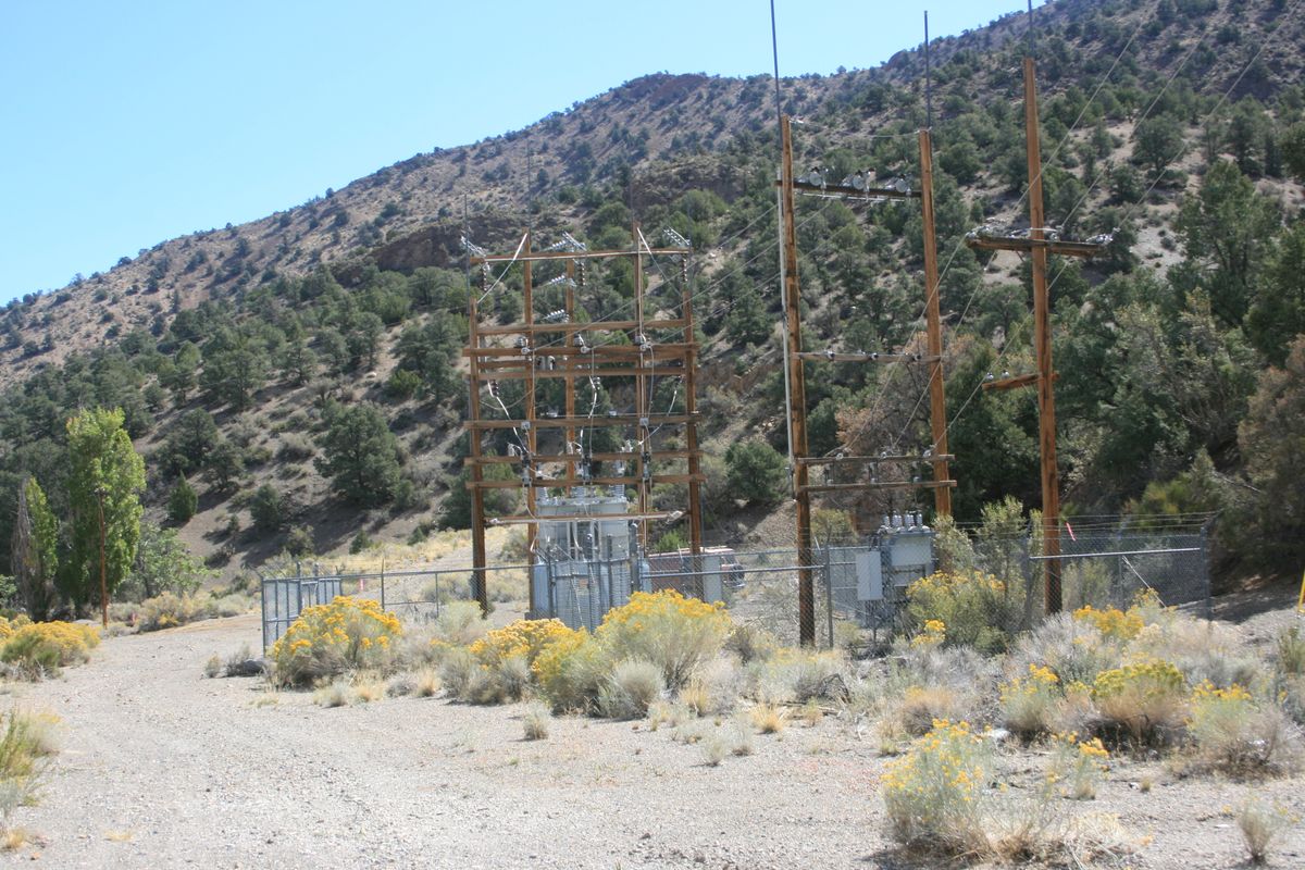
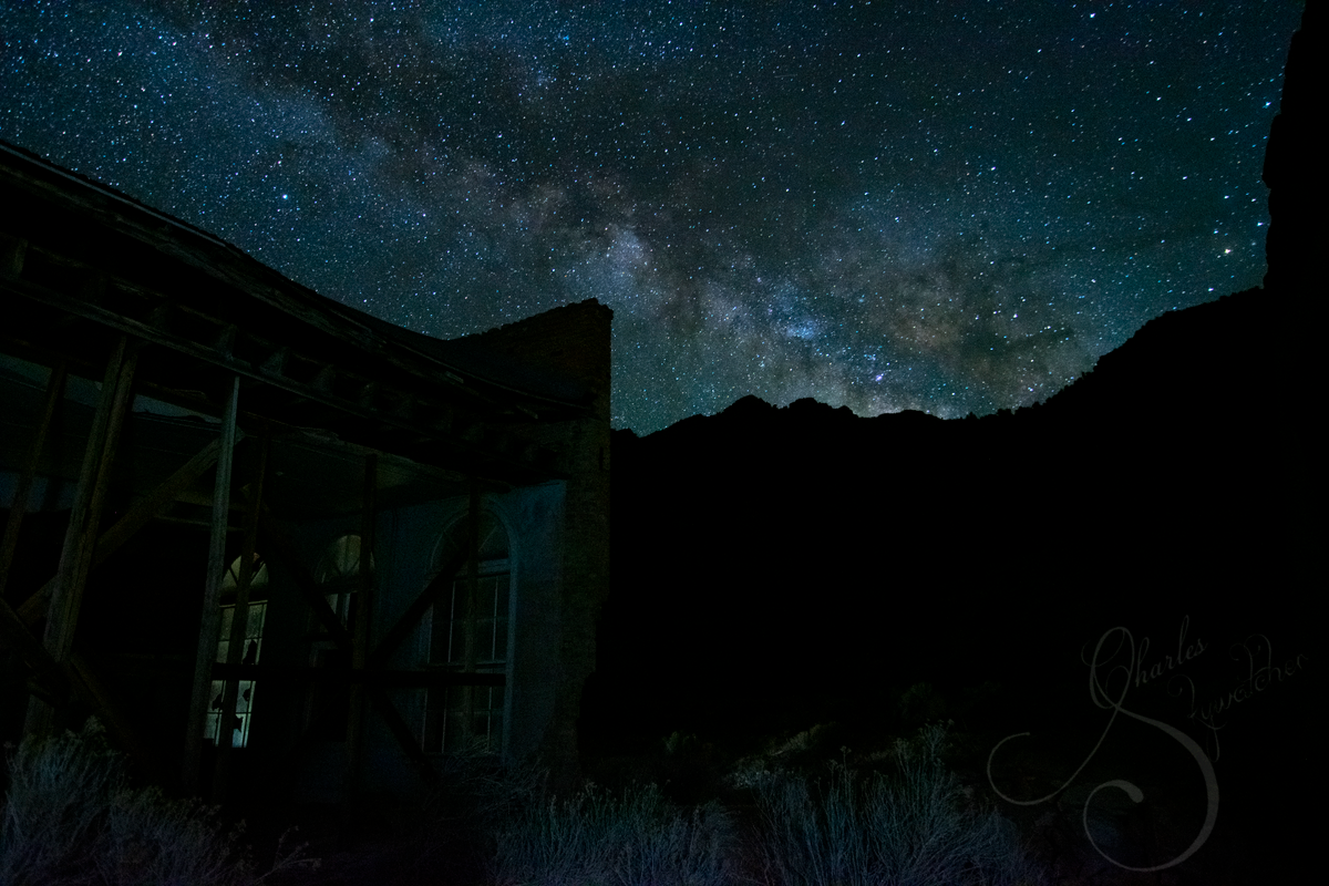
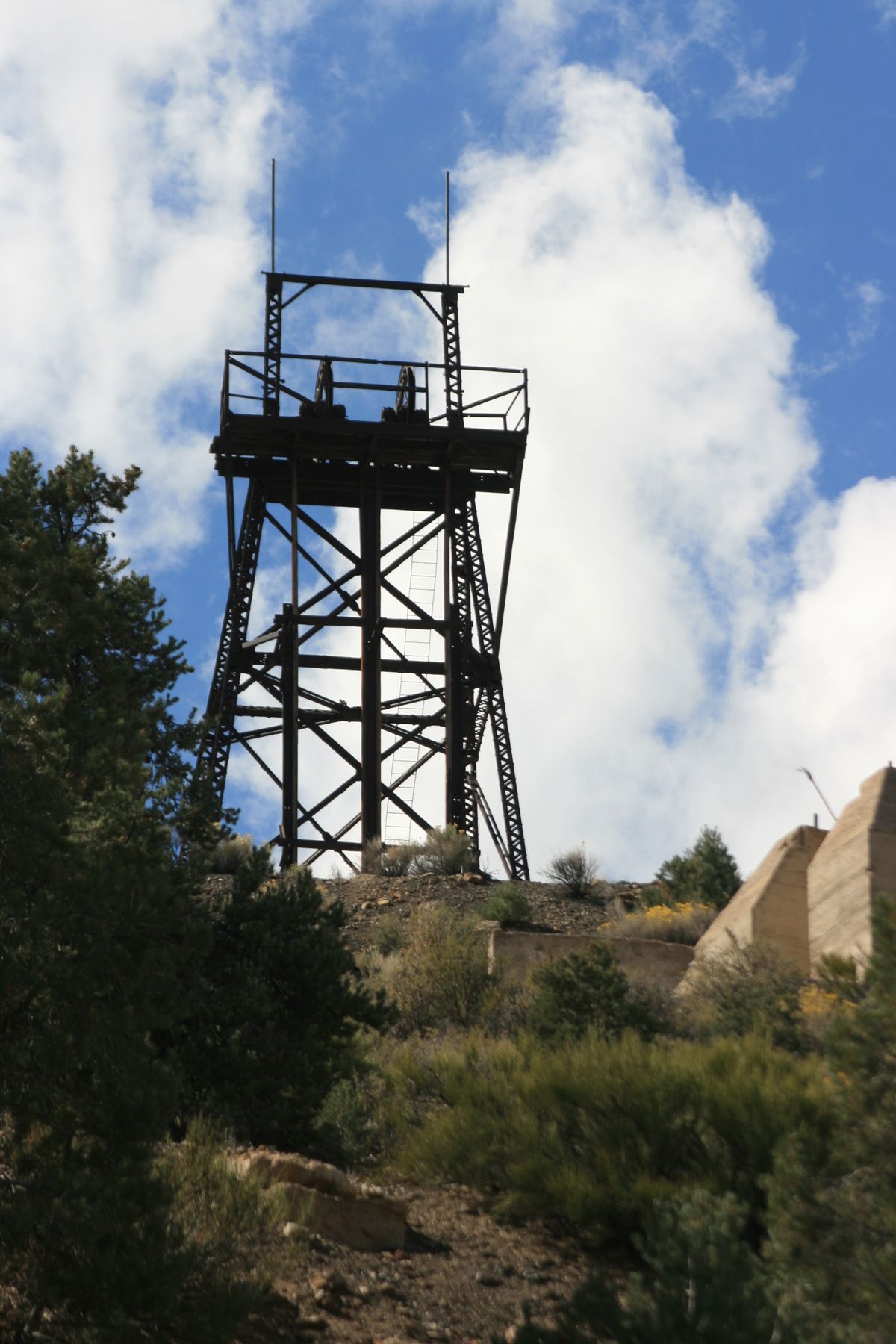
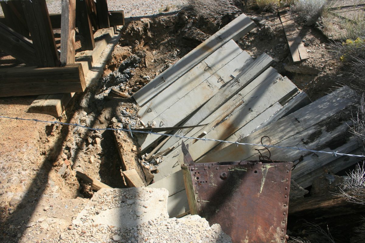
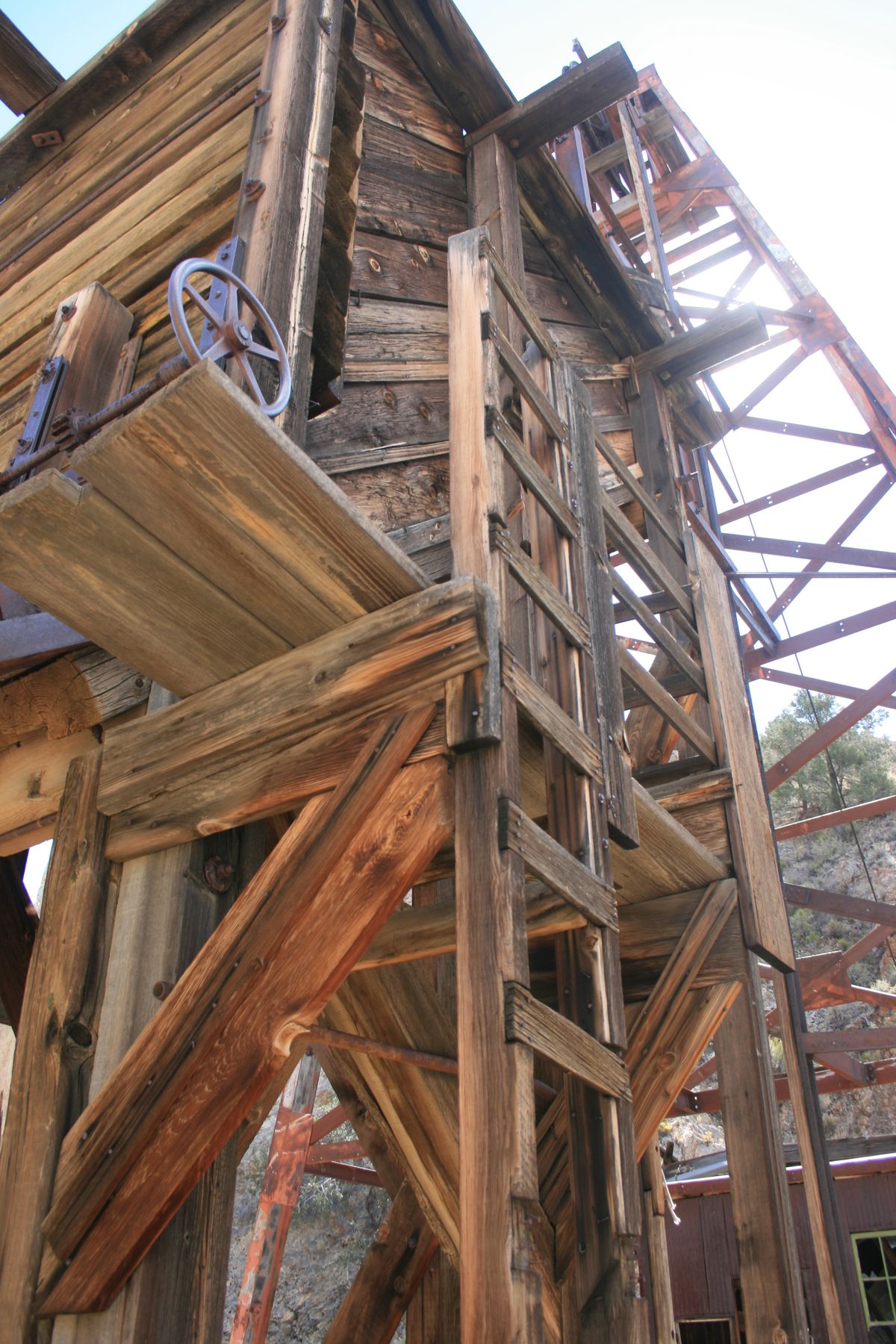
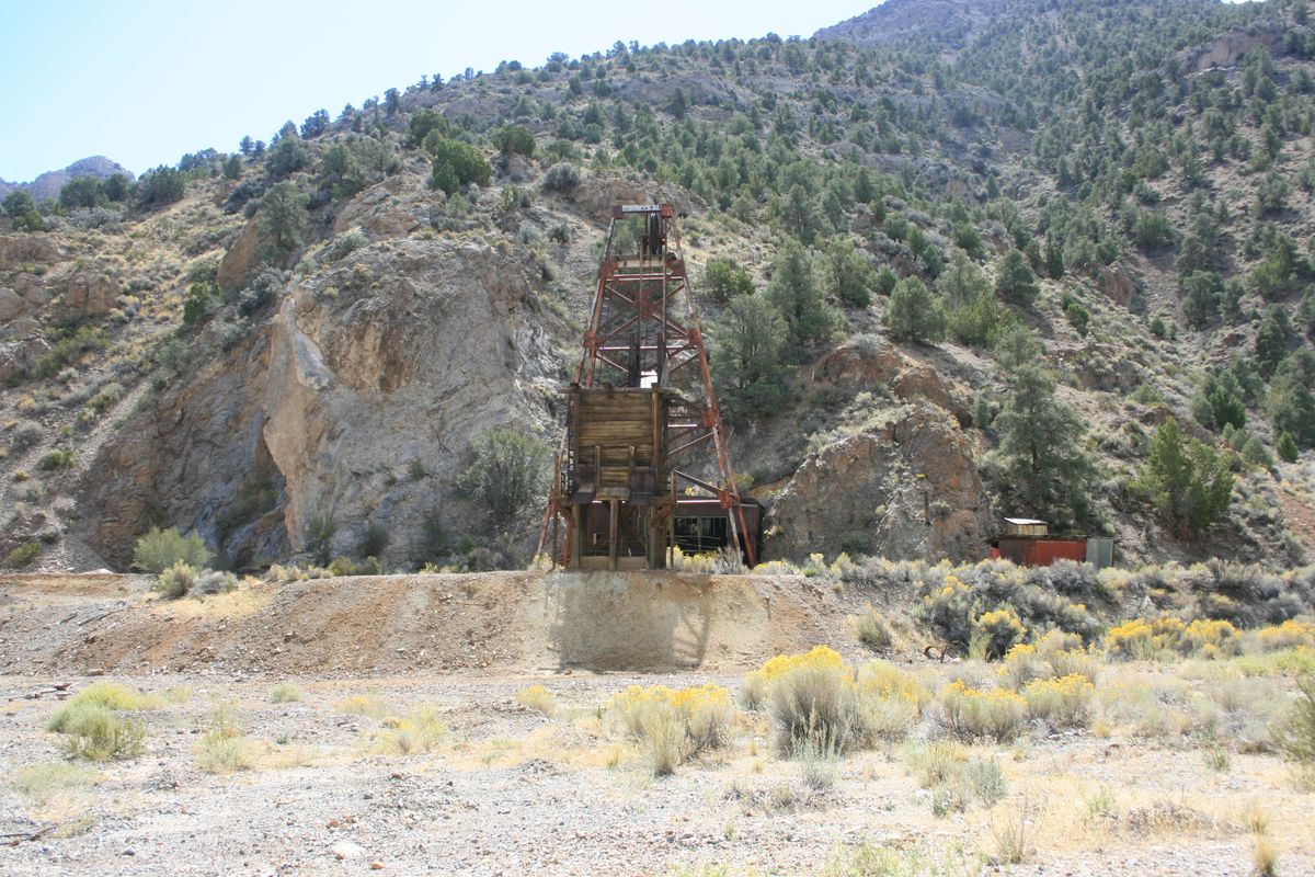
To this day, a few people still live in Tybo, and electrical service still exists. Many of the mining structures have been preserved, including the headframe, hoist shack, and loading chute of the Tybo mine. Much of the equipment in the hoist shack, including the winding spool and cable, also remains. An adit portal near the hoist shack is still open, and as of 2014, a cool draft was flowing out of it. It is closed to entry, however, which in any case would be extremely dangerous. The headframe is also built over a shaft, which was covered with a concrete slab; however, the edges around the slab have crumbled and it is at the point of tumbling into the shaft. A few strands of barbed wire strung around the collapsing area provide inadequate protection.
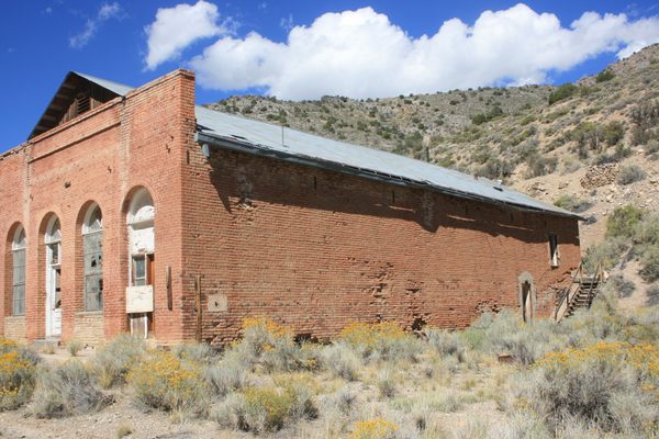
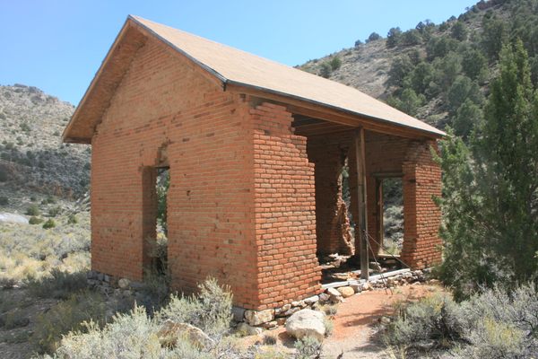
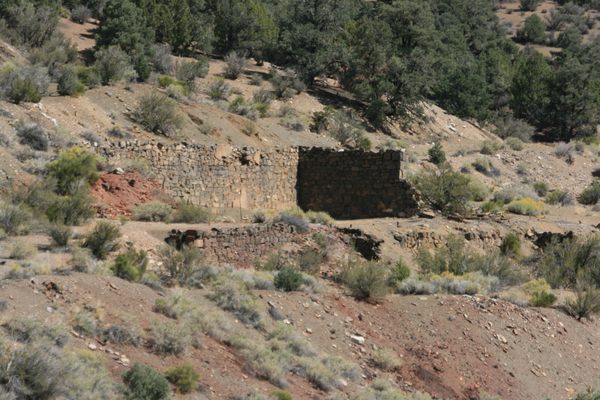
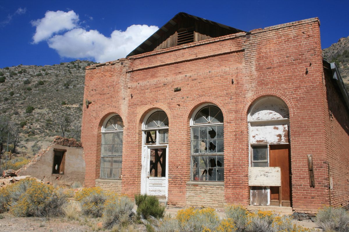
The brick Trowbridge store from the 1870s, which was repurposed as a rec hall during the 1930s, somehow survived the mid-20th century craze for used brick. The concrete foundations of the 1870s-vintage Tybo Consolidated Mill also remain, as well as some stone retaining walls from the earlier mill. However, the 20th-century mill below the upper shaft has been torn down.
Related Tags
Know Before You Go
Go 9.7 miles east on US-6 from Warm Springs (the intersection of Nevada State Route 375) to an intersection with a graded road coming in from the left. A few government-owned buildings, left over from the Project Faultless project, will also be visible on the left. Follow this road 8.6 miles north. Bear right (west) at a shallow intersection about 4.1 miles in. This may be signed.
The roads are graded as far as Tybo, and passenger cars in dry weather should be OK. Proceeding farther up the canyon, however, will require high clearance and 4wd.
Most of the area remains private property. Don't disturb occupied dwellings. Please respect any no-trespassing signs. And, as with any old mining area, be especially careful with children and pets.
Published
July 25, 2022
Sources
- Paher, Stanley. Nevada Ghost Towns & Mining Camps. Nevada Publications, 1970, pp. 348-53.
- Kleinhampl, Frank J.; Ziony, Joseph I. Mineral Resources of Northern Nye County, Nevada. Nevada Bureau of Mines Bull. 99B, 1984, pp. 210-7.
- Hall, Shawn. Ghost Towns and Mining Camps of Southern Nevada, Arcadia Publishing, 2010, p. 69-80.