


About
In the middle of the 20th century the state of Nevada, and the Mojave Desert in particular, were widely used for testing various nuclear-radioactive weapons to compete with the USSR in the Cold War. The sprawling wilderness and absence of curious masses of people presented an ideal ground for these exercises.
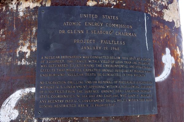
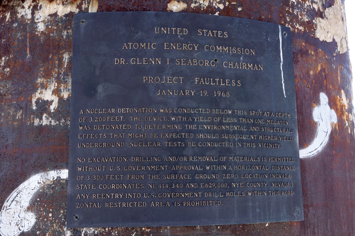
One of the lesser-known, but still epic events of the nuclear research program was "Project Faultless," an underground detonation of a megaton nuclear bomb in the middle of the Mojave.
The reason for this particular test was quite peculiar. Ordinarily, hydrogen and other big bombs were detonated much closer to Las Vegas, and the shaking ground frayed the nerves of the local casino owners and residents, most notably one Howard Hughes, an elderly Texas multi-billionaire who was enjoying his retirement in one of the hotels on the Strip. Hughes's outraged letters to many officials, and personally to President Lyndon B. Johnson, quickly got the attention of the Atomic Energy Commission. The commission agreed to move the testing site deeper into the desert.
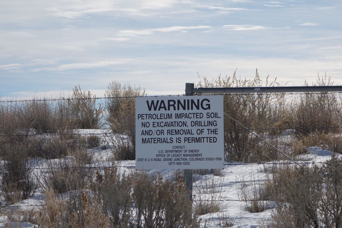
The scientists conducting the Project Faultless experiment probably could have guessed that its results would not be too cheerful. The bomb, with a yield of 1.0 megatons ("only" about 67 times the energy of the one dropped on Hiroshima), was detonated 3,200 feet underground in 1968. The results were devastating: The ground in a radius of several miles collapsed, forming a giant sunken cave at the point of detonation. Radiation levels on its bottom were similar to the core of the nuclear reactor and will likely stay like this for the next couple thousand years.
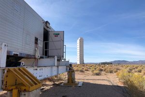
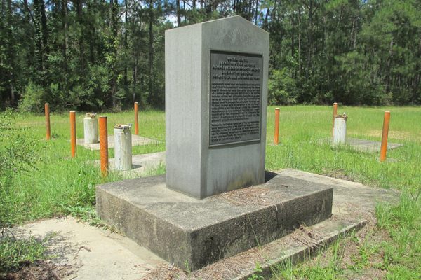
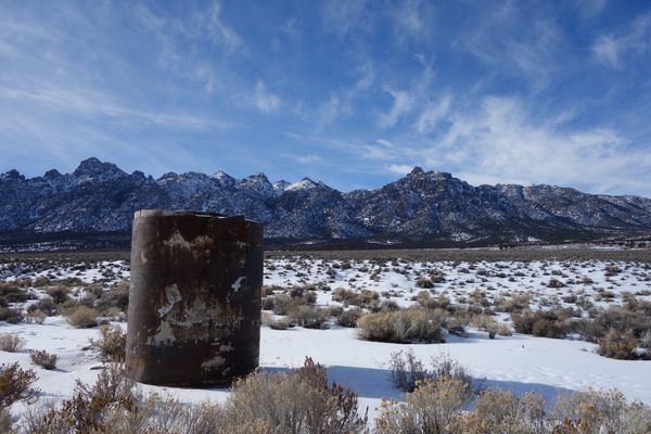
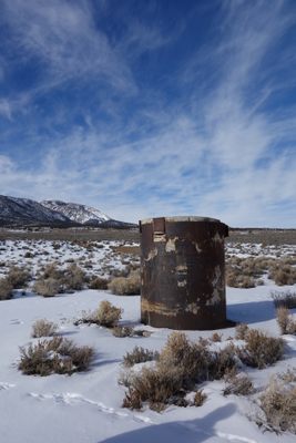
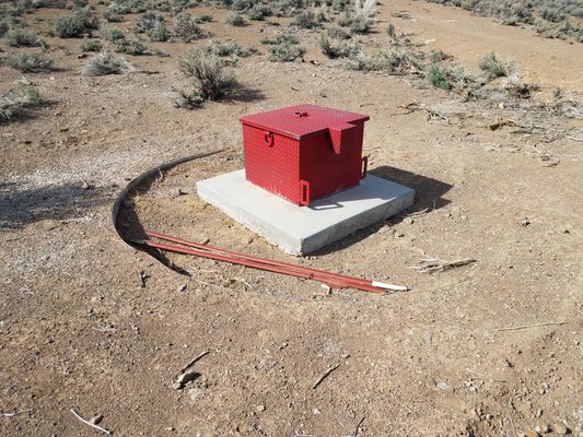
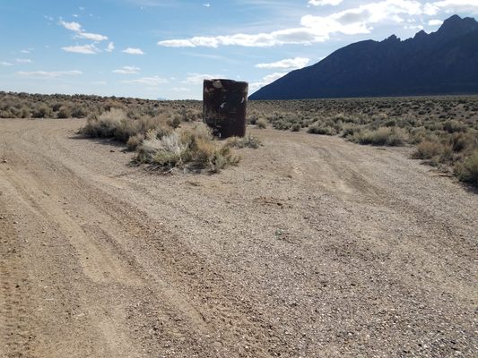
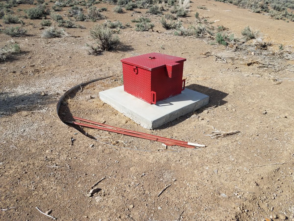
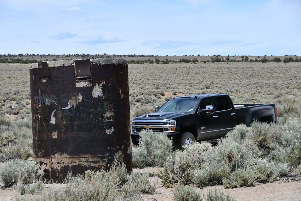
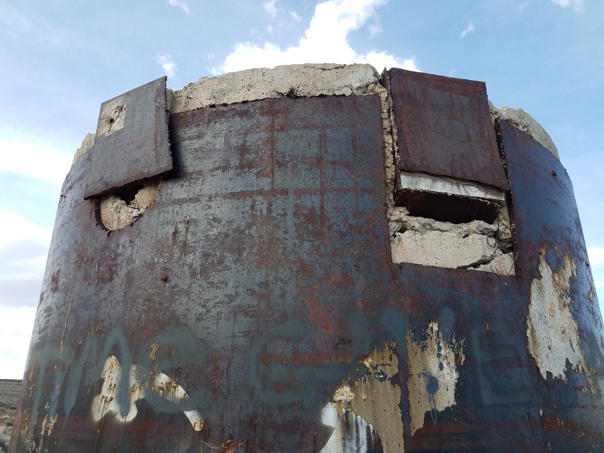
The force of the explosion pushed the steel pipe used for lowering the bomb up about 10 feet, at the moment this remains the only sign of the explosion. The crater was filled, but the steel pipe today marks the spot of the test site. A plaque on the pipe explains the history of the project, but only in very general terms.
Related Tags
Know Before You Go
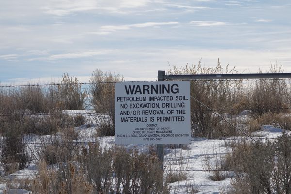
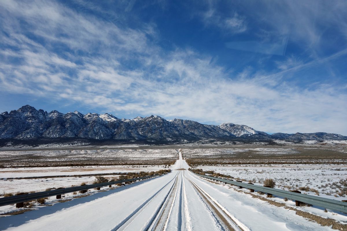
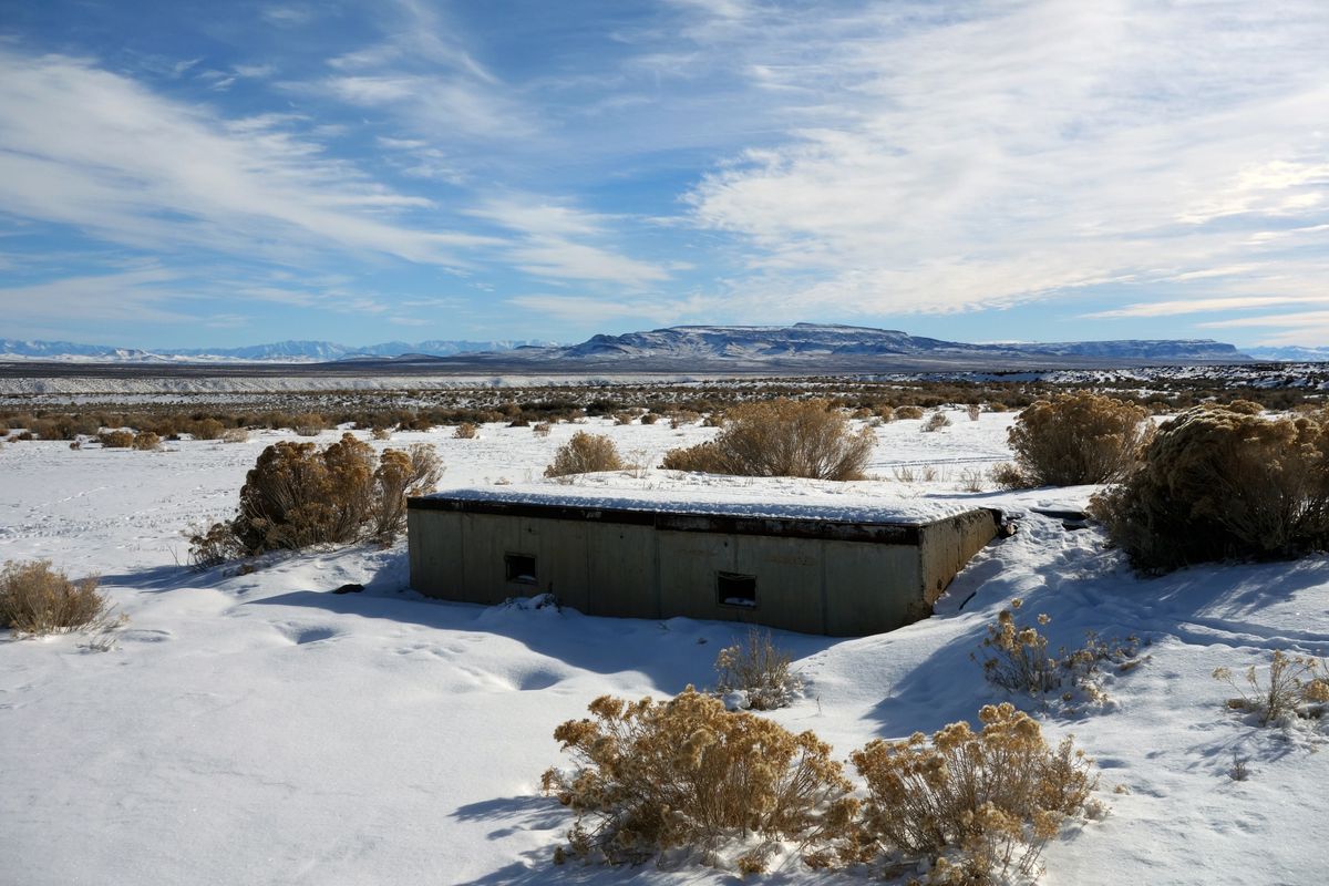
The site is along a dirt road about 15 miles off US-6 E toward Moores Station. You will see a steel pipe protruding from the ground and an informational plaque. A vehicle with high clearance is recommended. Detailed directions can be found here.
Published
August 20, 2018