
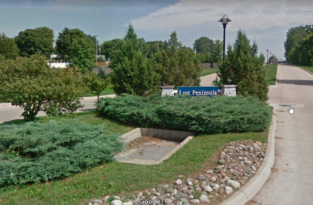


About
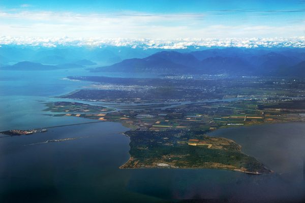
Approximately 140 Michigan residents live on this small peninsula in Lake Erie. If they wanted to go to another part of the state, they would first have to travel south, across the state line into Ohio before going north to return to Michigan. This small exclave known as the "Lost Peninsula" is part of Monroe County and is the southeastern-most corner of the state.
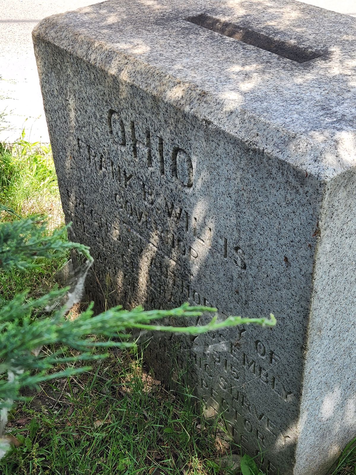
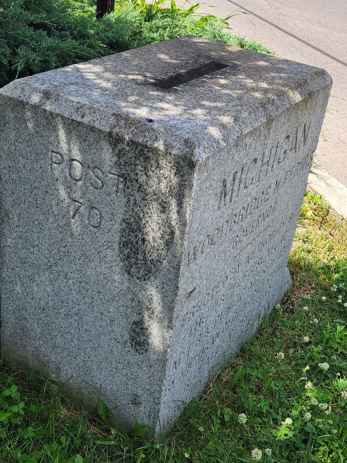
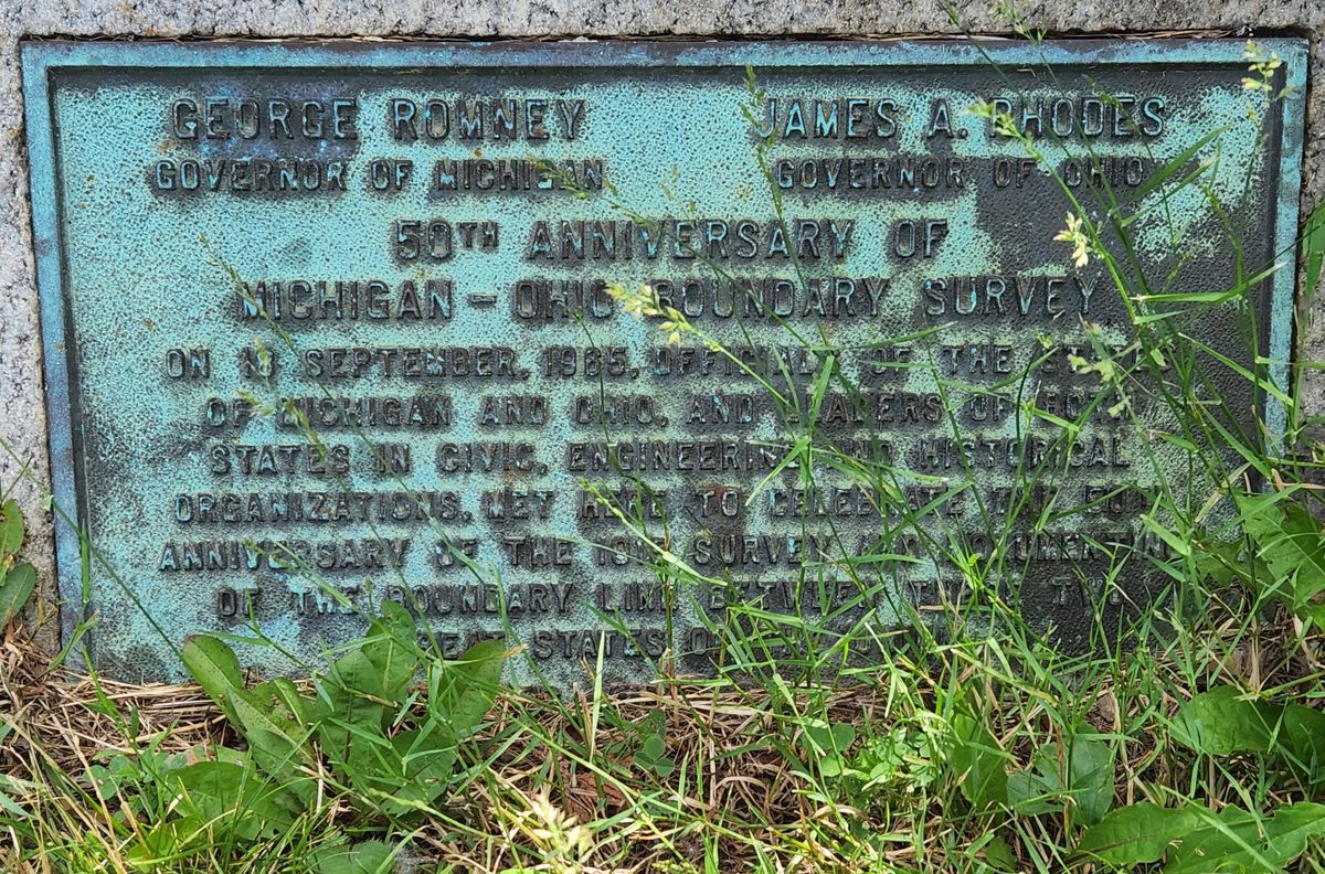
This geographic oddity was a result of a territorial dispute in 1835. According to Michigan Radio, when Michigan and Ohio were still relatively young states, they performed geographical surveys to determine their boundaries, and both states wound up laying claim to Toledo. This disagreement led to the Toledo War, a short and nearly bloodless conflict that ended in a stalemate.
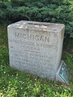
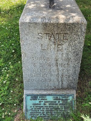
After the war, the state border was established at approximately the 41°44’ north latitude line, located just north of the mouth of the Maumee River. In the agreement, Ohio wound up with the river and the city of Toledo. However, the state line continued across the smaller Ottawa River and divided the peninsula on the far side of the river. The land north of the state line on the far side of the river remained in Michigan, but it had no land connection to the remainder of the state. The area became known as the “Lost Peninsula."
Related Tags
Know Before You Go
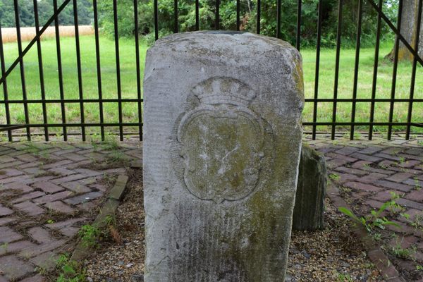
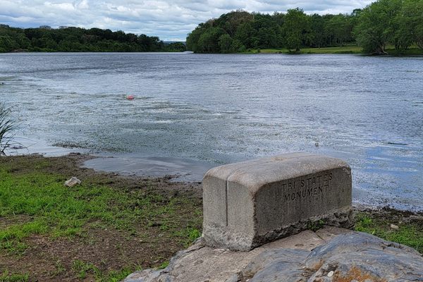
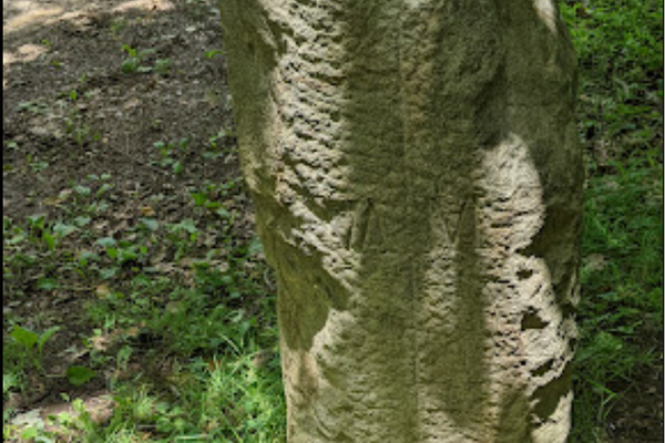
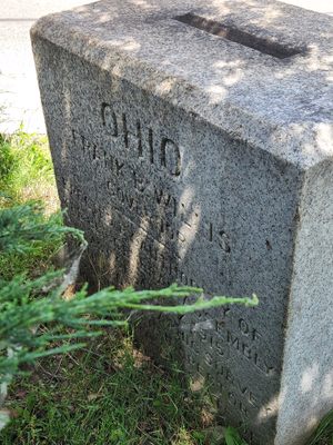
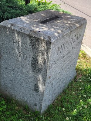
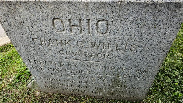
There is no sign for the unincorporated Lost Peninsula, but there is a stone border post located at the entrance to the Marina, across the street from Webber's Waterfront Restaurant.
Community Contributors
Added By
Published
July 18, 2022