


About
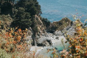
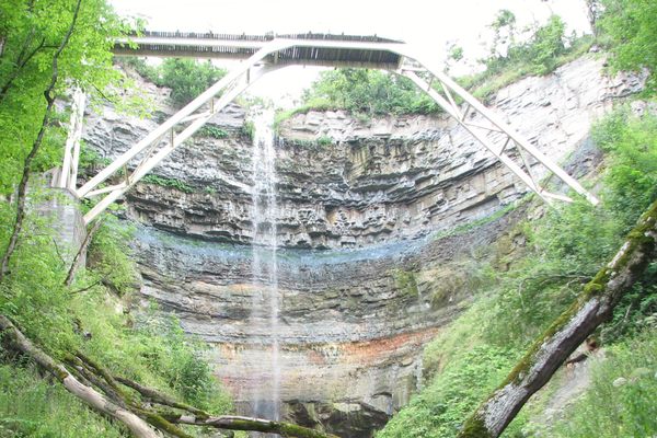
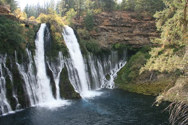
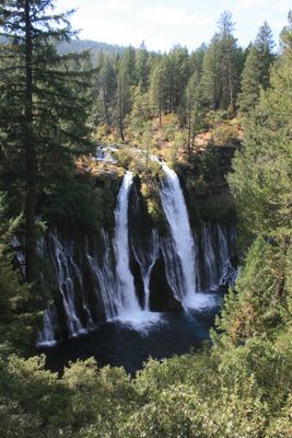
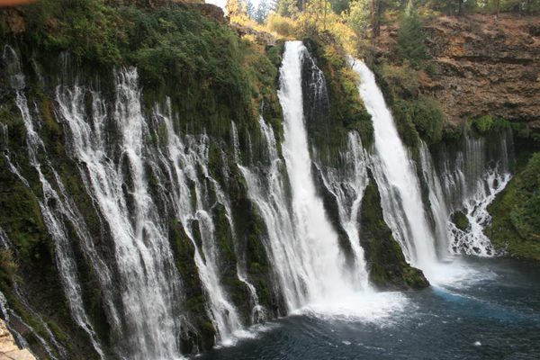
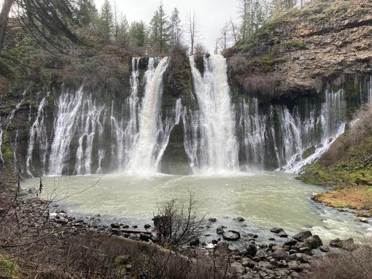
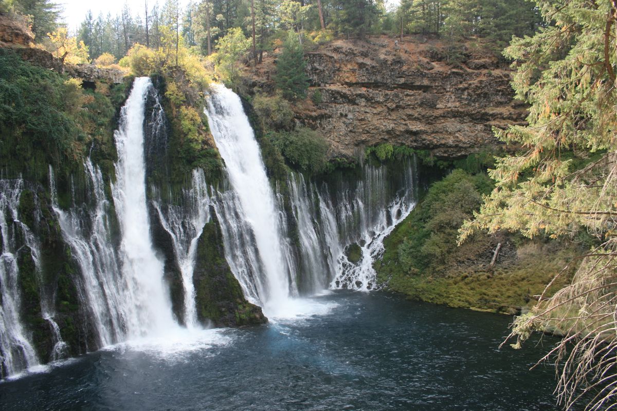
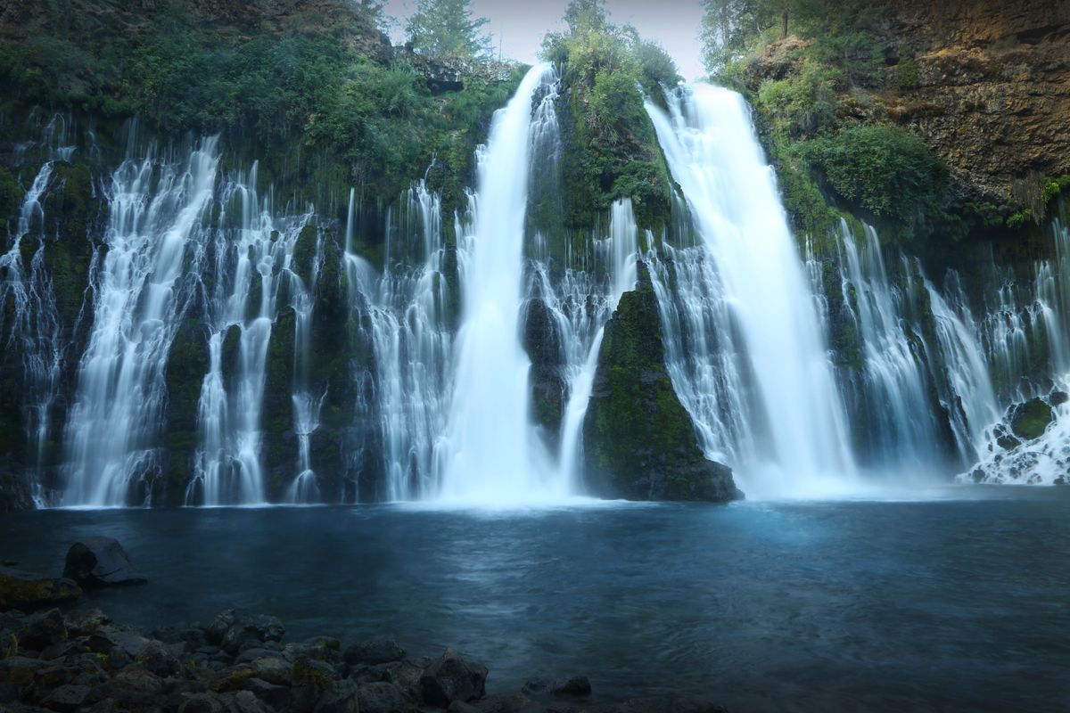
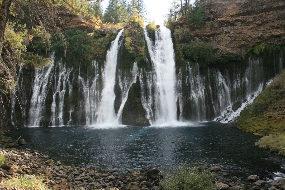
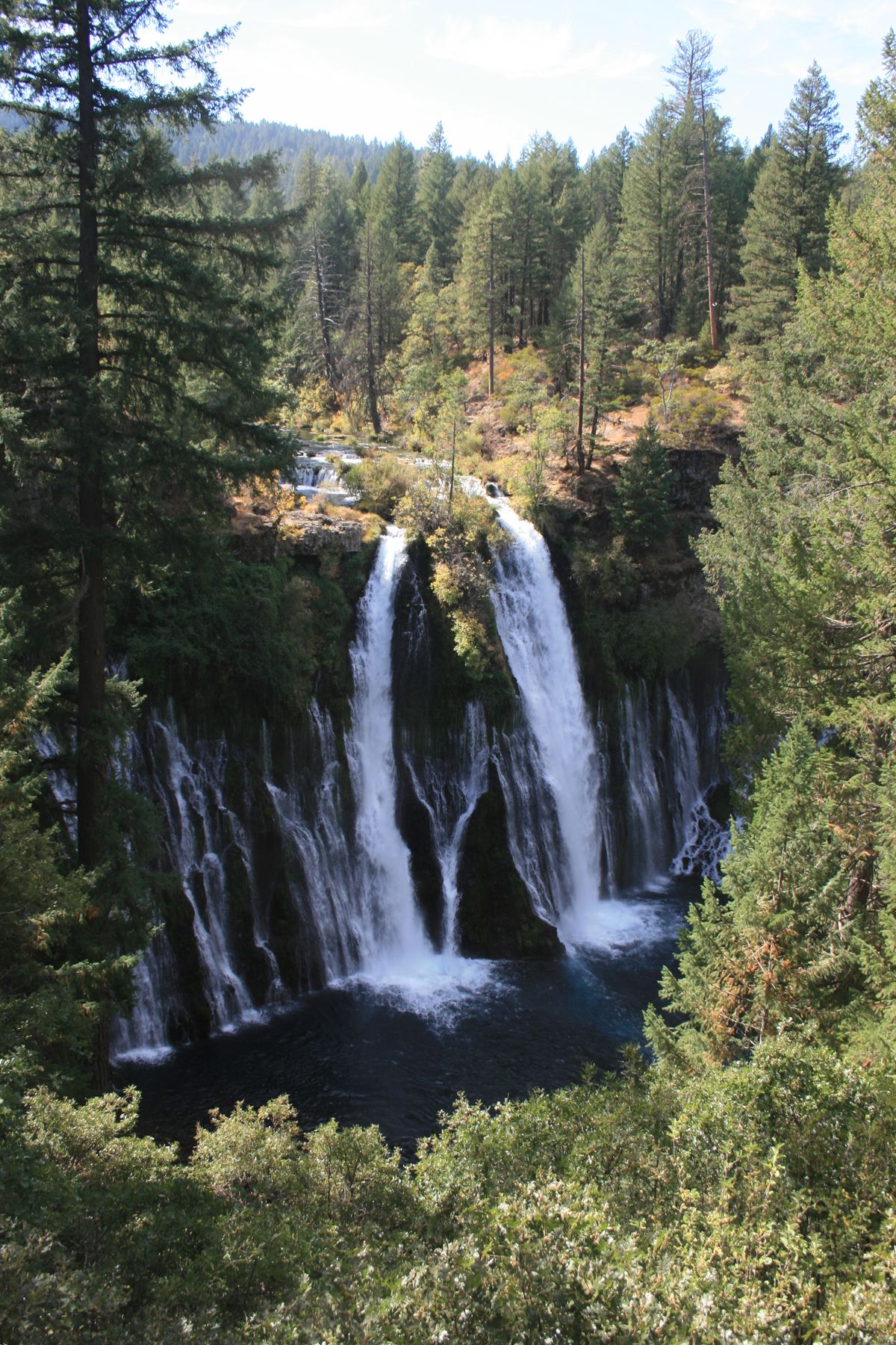
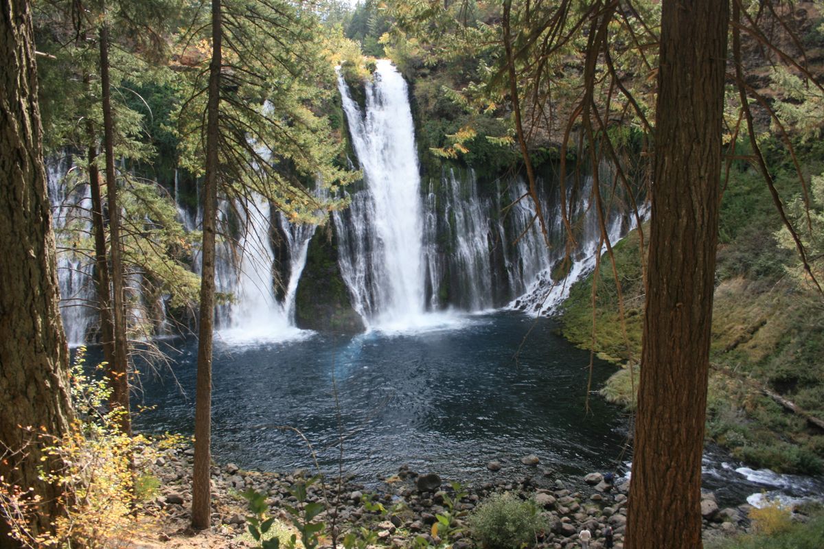
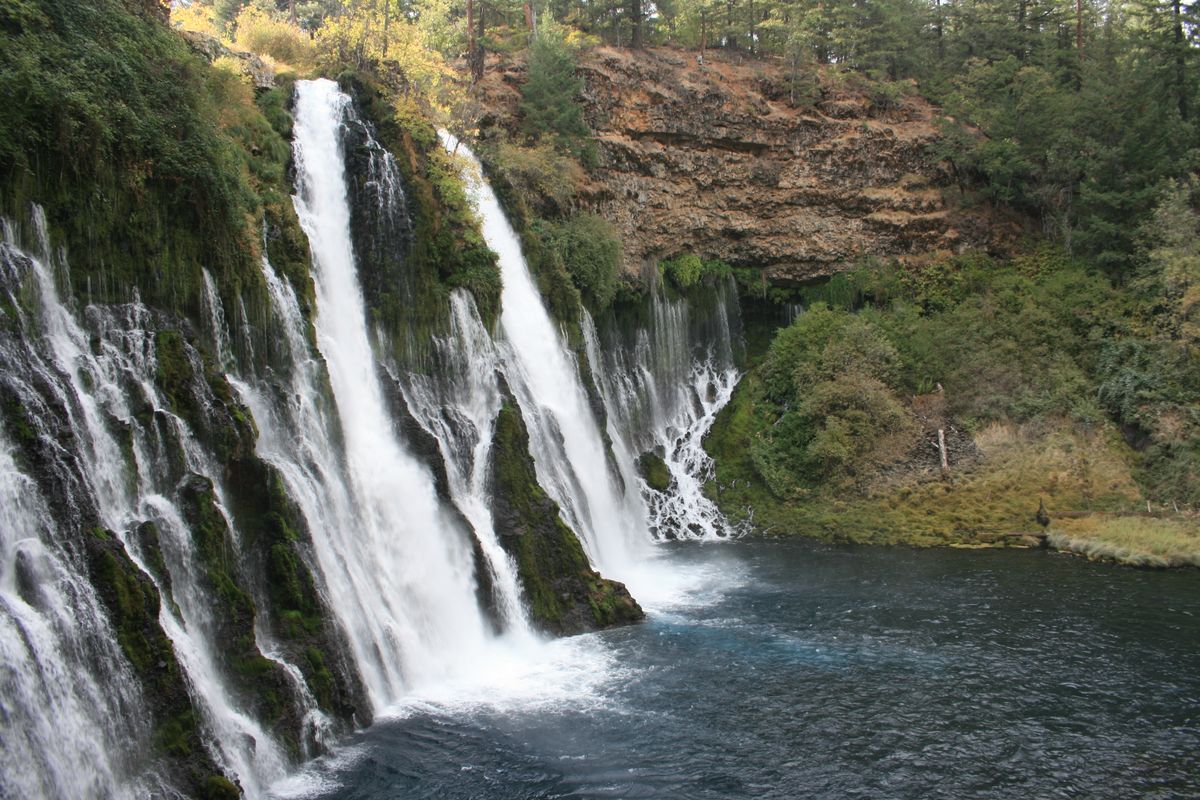
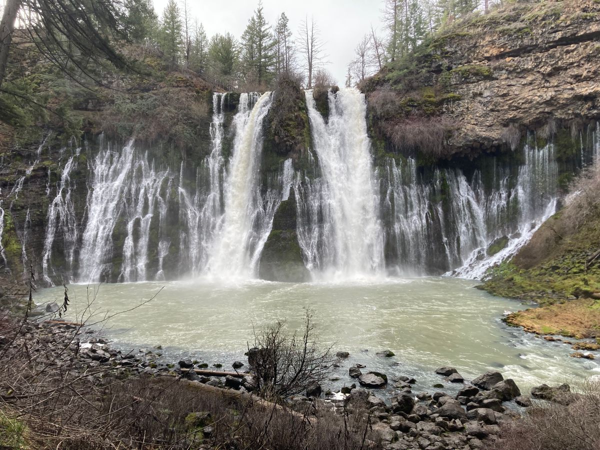
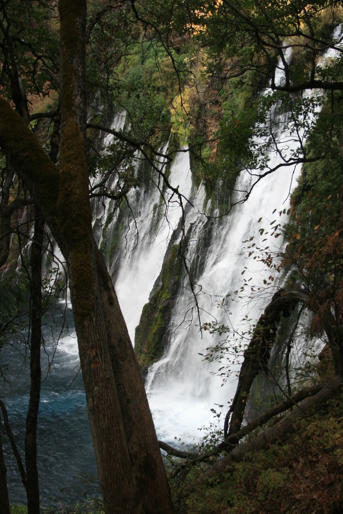
Burney Falls, the centerpiece of McArthur-Burney Memorial State Park, is located in volcanic terrain related both to Cascade volcanism (to the west) and the Modoc Plateau (to the east). The area is therefore covered by many lava flows, and the rubble zones between these flows are highly permeable and make excellent aquifers.
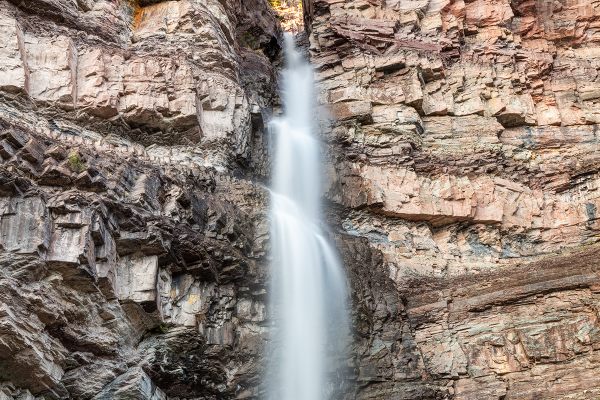
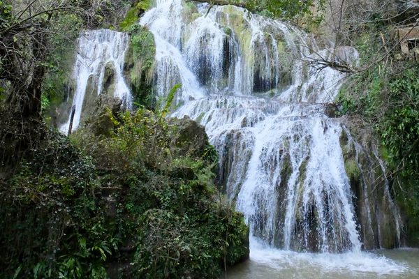
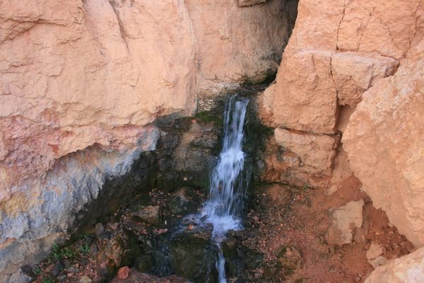
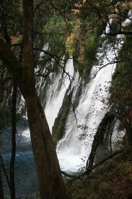
This is strikingly illustrated by the falls themselves. Burney Creek flows over the rim of the falls, which is defined by a hard lava ledge, but many springs in the cliff below the rim also contribute to the flow.
In fact, the springs come from a zone that is considerably wider than the watercourse above the falls. This happens because a rubble layer—an aquifer—between lava flows is exposed by the cliff face and carries the majority of the flow. Burney Creek often dries up completely in late summer, but flow still comes from the cliff springs.
Related Tags
Know Before You Go
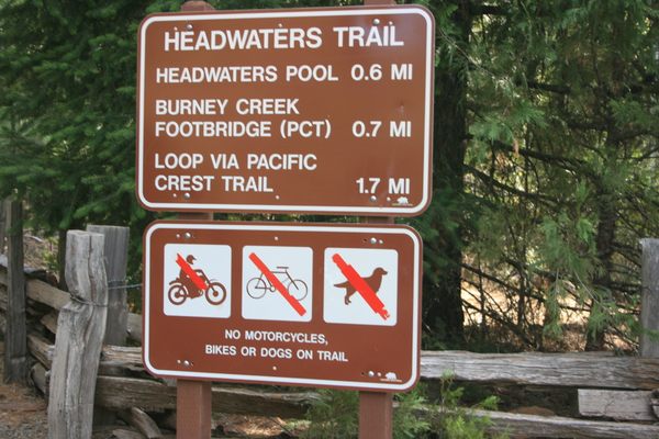
Burney Falls is on California State Route 89 about six miles north of its intersection with CA SR 299. The park is very popular locally and there is limited parking, so during peak summertime hours, especially on weekends, it may be closed due to overflow. In addition, as per the sign photo, dogs are not permitted on most trails in the park.
The Pacific Crest Trail also passes through the park.
Published
May 10, 2022