


About
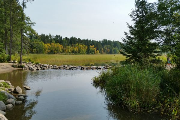
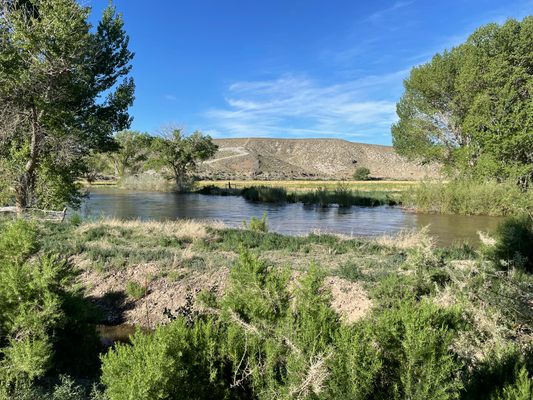
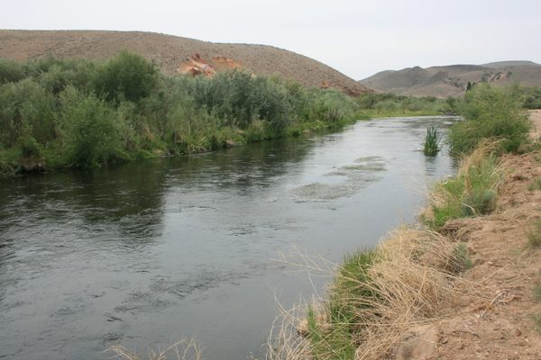
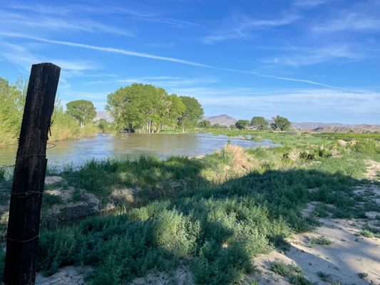
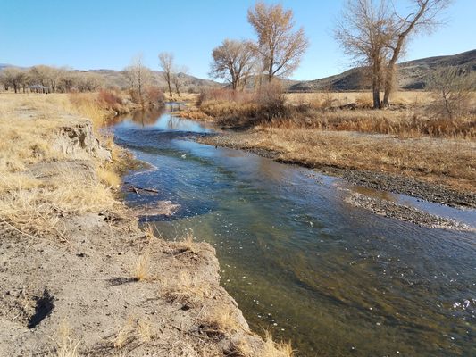
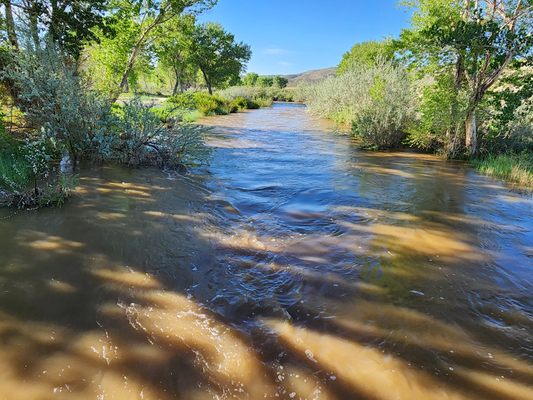
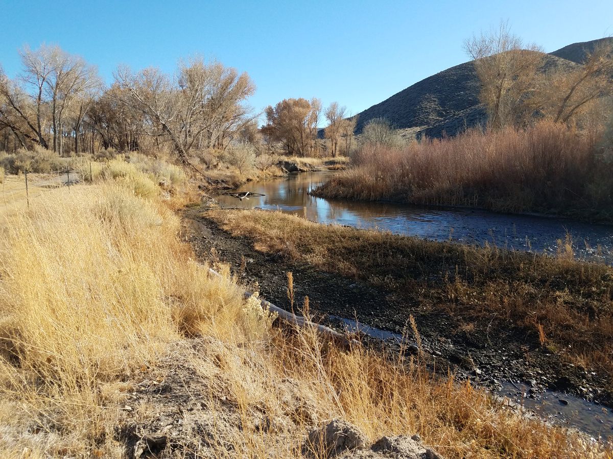
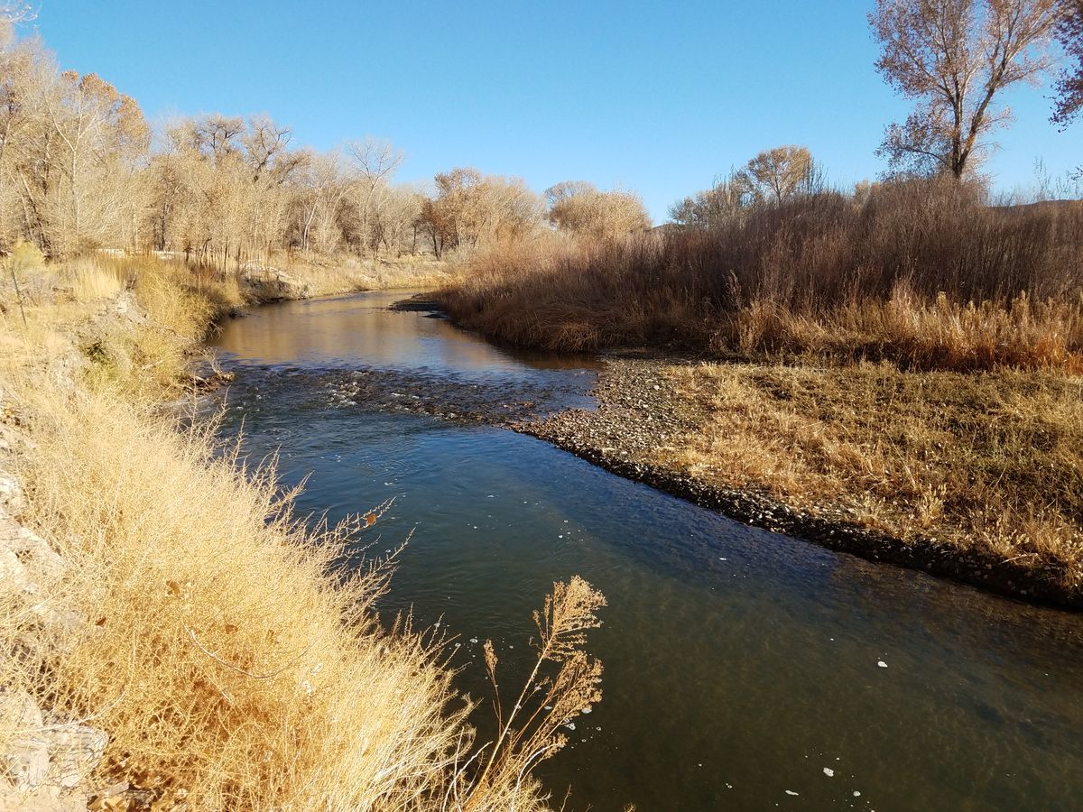
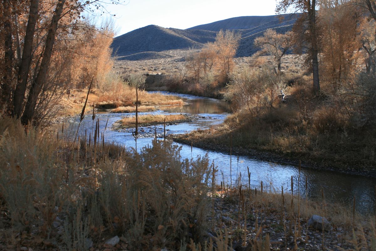
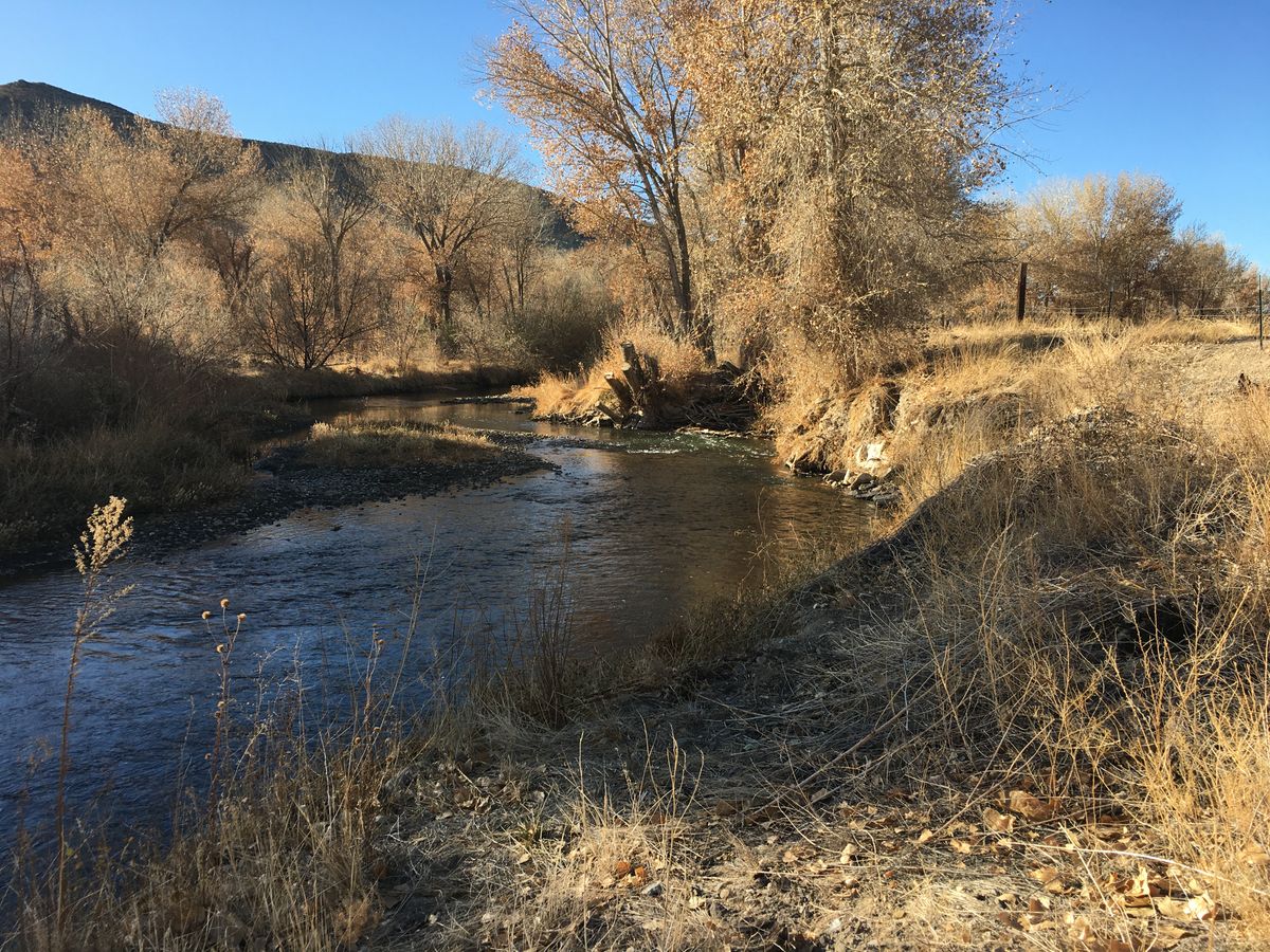
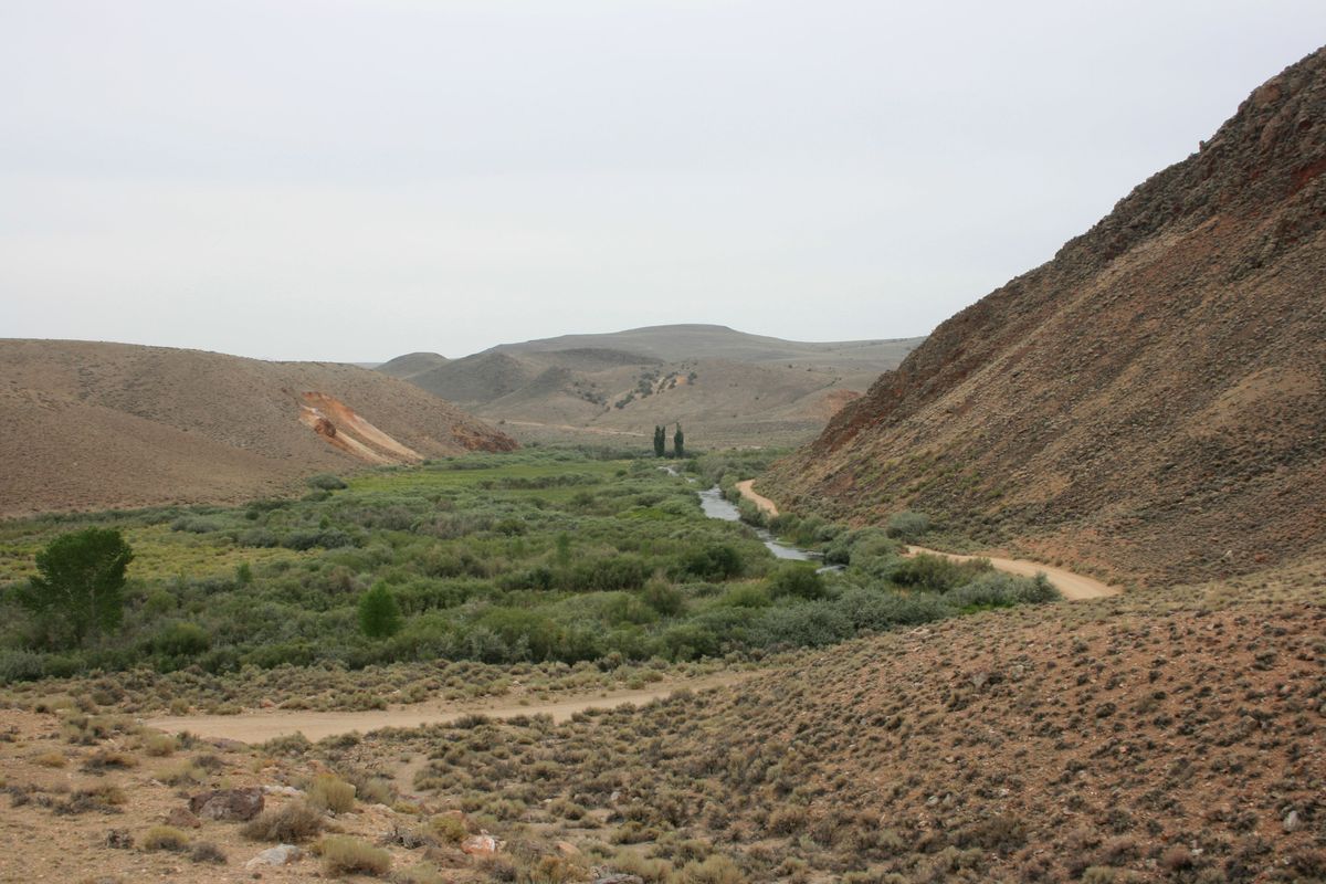
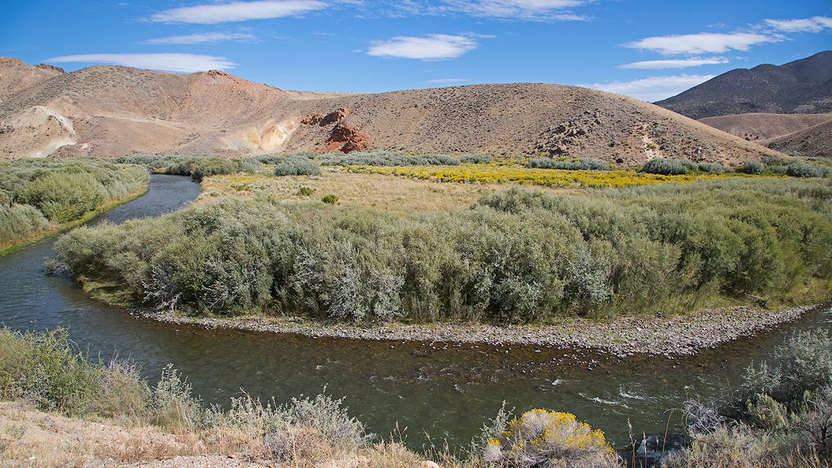
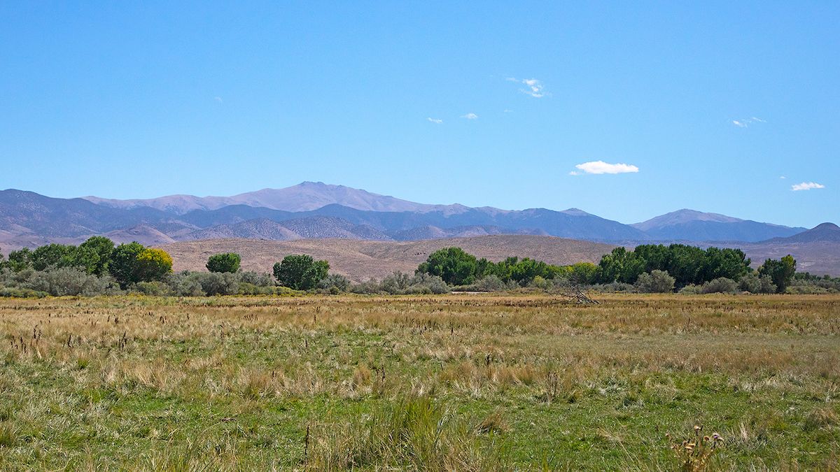
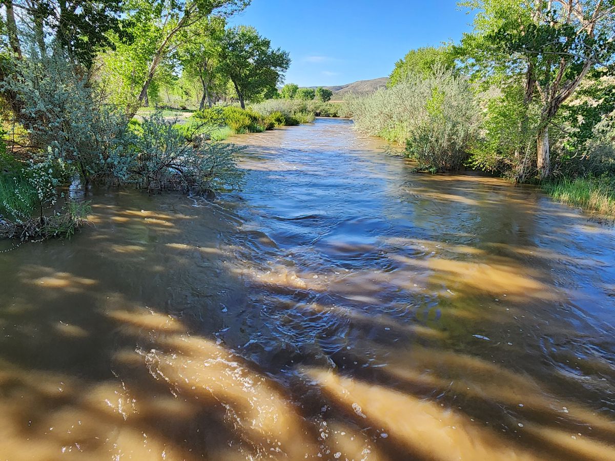
The East Walker River rises in the Sierra Nevada and flows easterly, entering Nevada about 12 miles south of the town of Bridgeport, California. From there it's another 50 miles to its confluence with the West Walker River, at the south end of Mason Valley, where the Walker River begins.
As might be expected, such an abundant water supply in this arid country was rapidly claimed by Euro-American settlers, and for well over a century there has been very limited public access to the East Walker River, most of the shoreline being occupied by private ranches. In the last ten years, though, the Walker Basin Conservancy has acquired a number of these ranches and deeded them to the state to form a state park, with guaranteed public access.
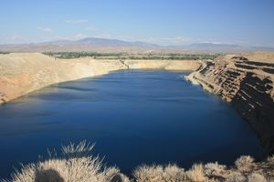
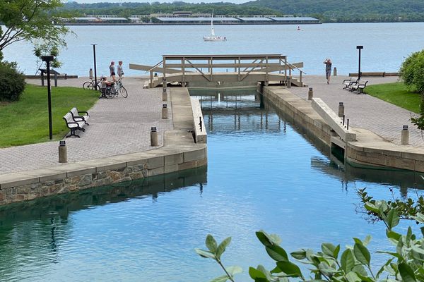
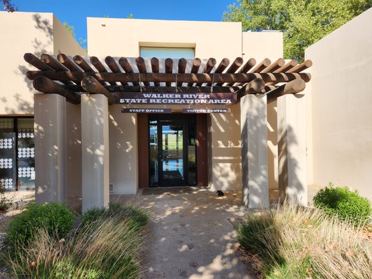
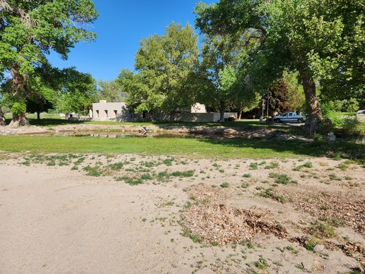
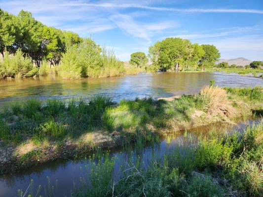
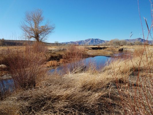
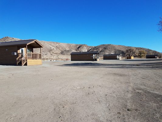
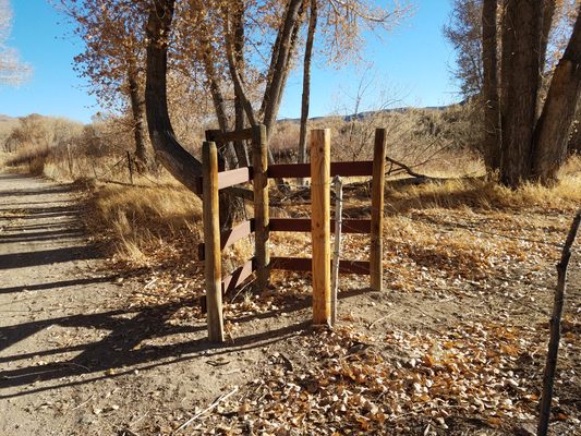
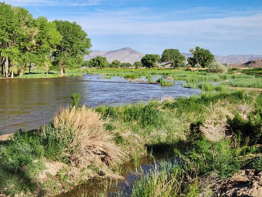
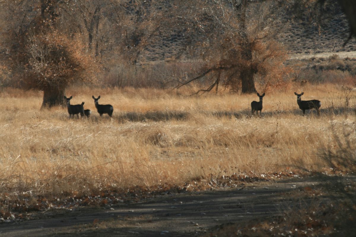
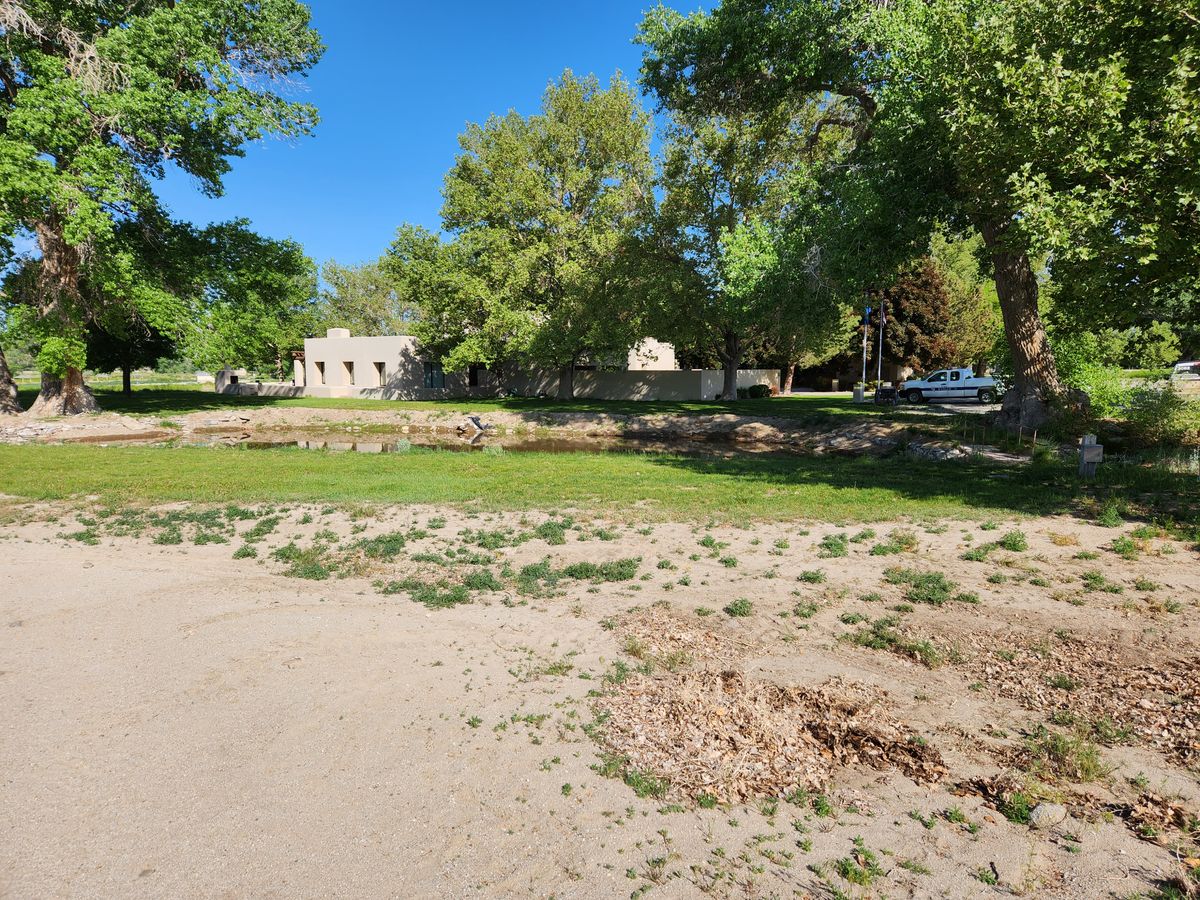
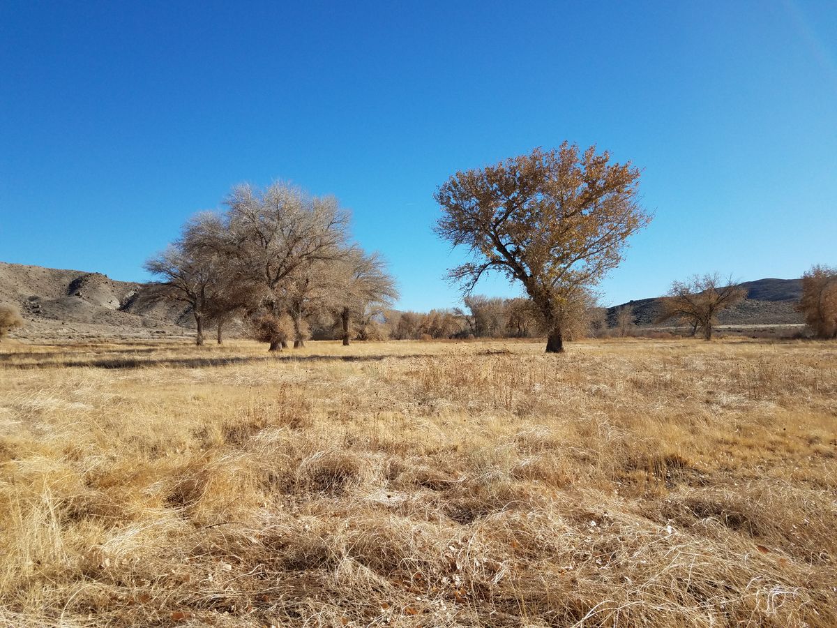
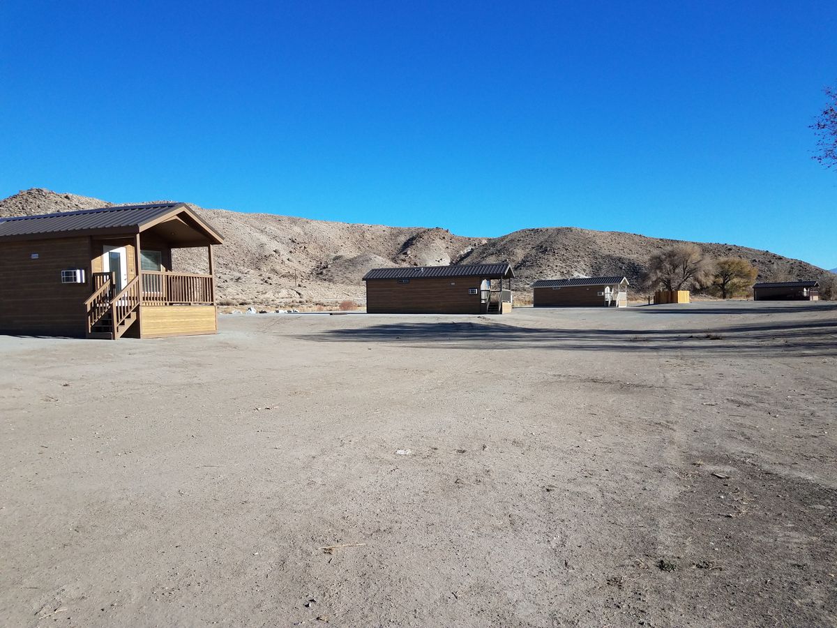
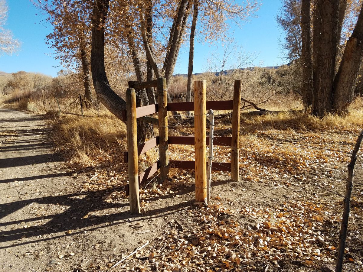
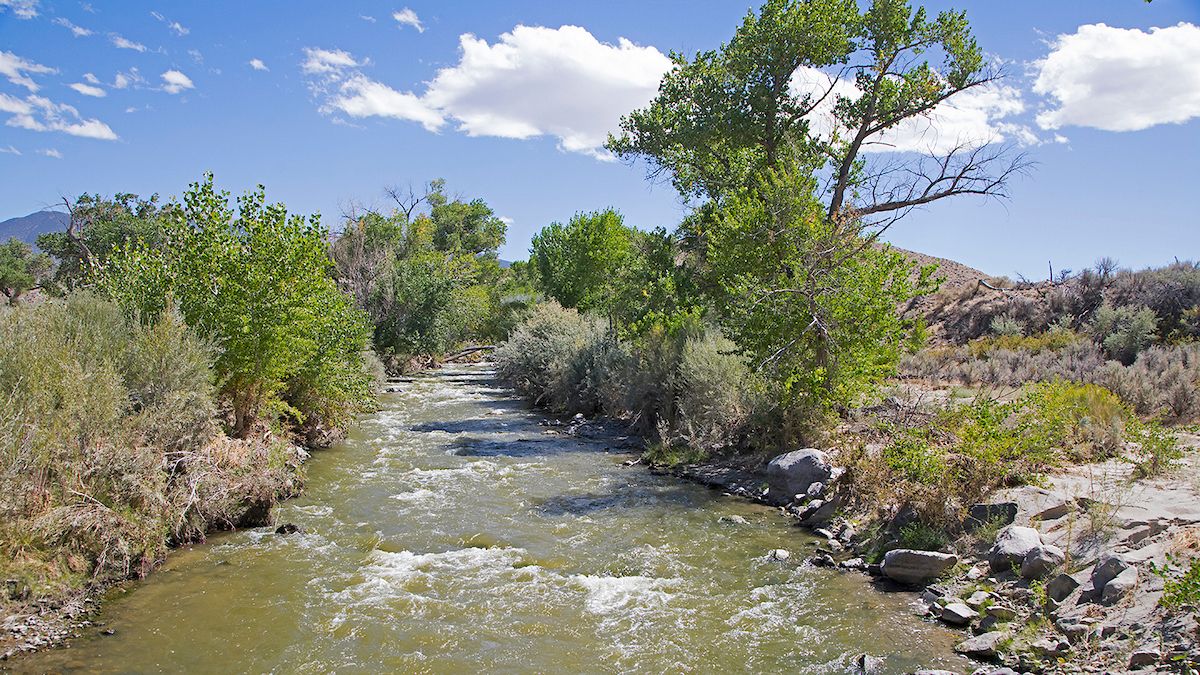
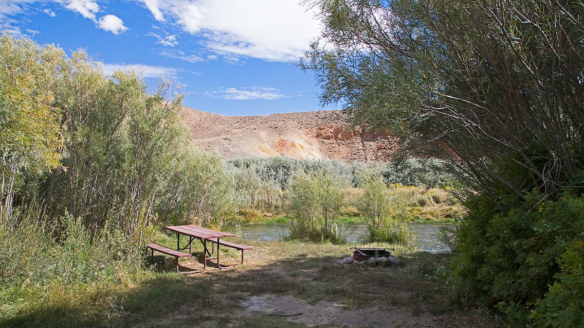
Currently, the main part of the park is at the north end, on the old Pitchfork Ranch, where the visitor center and a couple of campgrounds are located. One campground has RV hookups with water and electricity. A few cabins, the Antelope Acres cabins, are also available to rent. A hiking trail, the Nature Trail, extends along the Walker River for a couple of miles. This area is also popular for river float trips; check the Pitchfork Ranch water trail map for details.
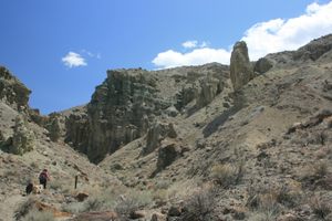
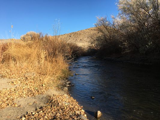
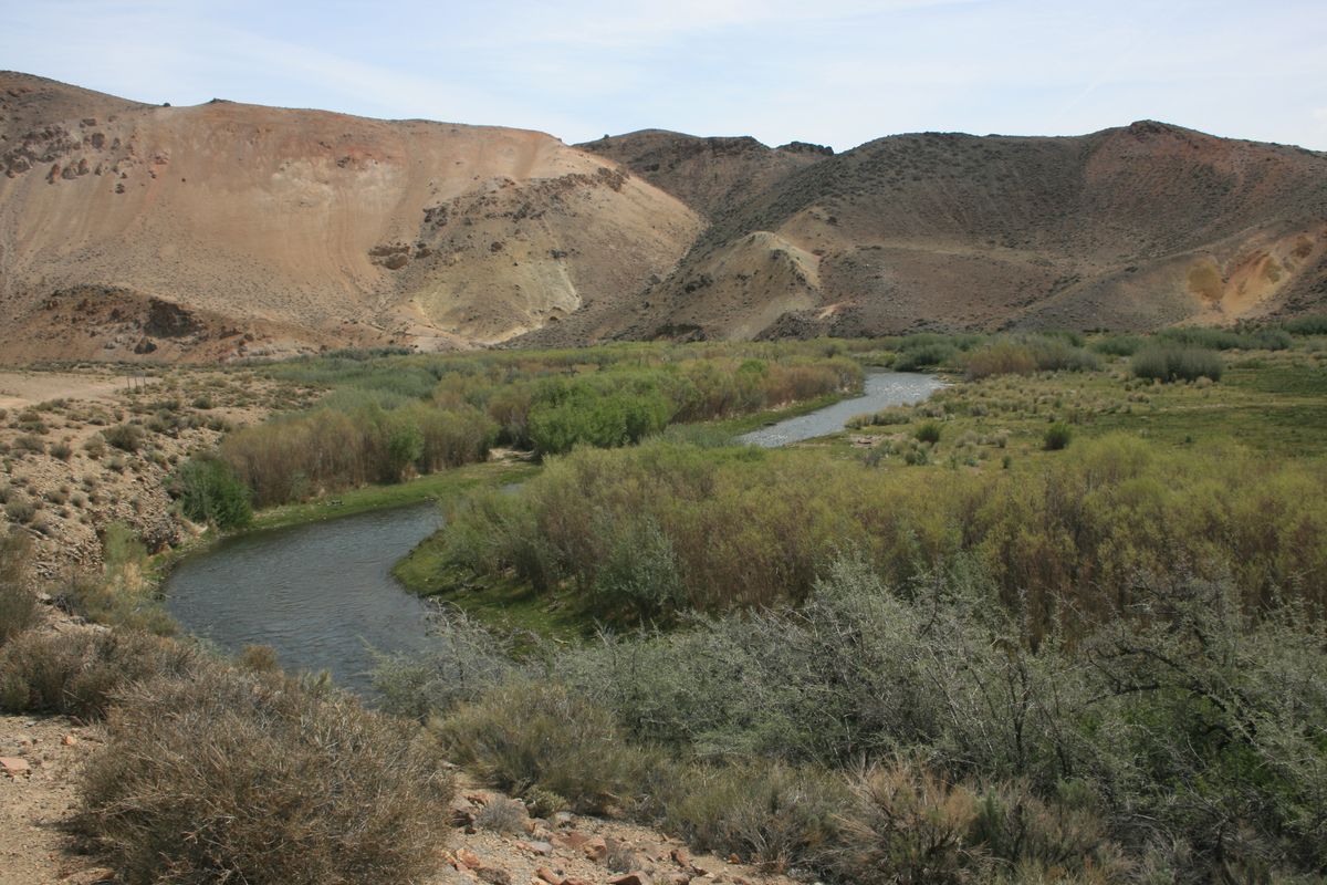
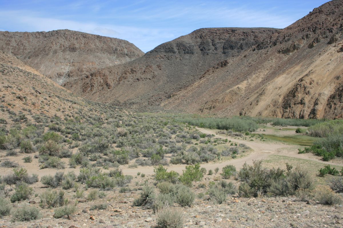
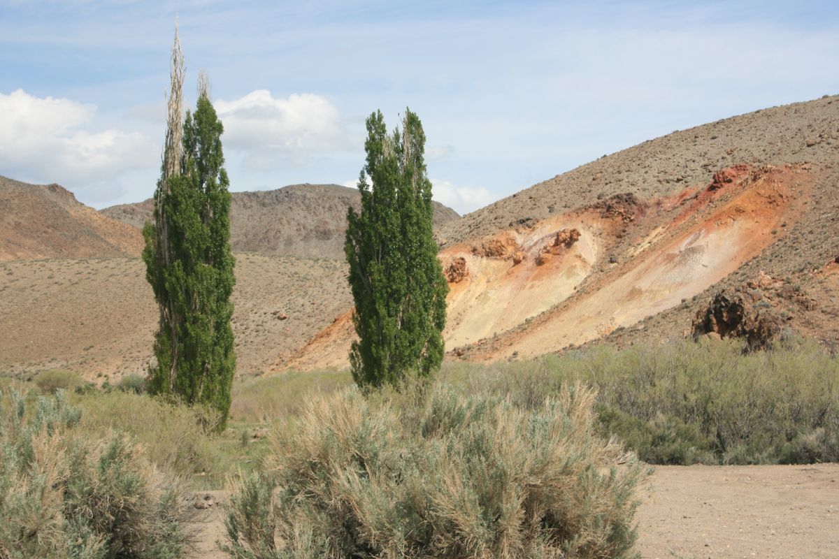
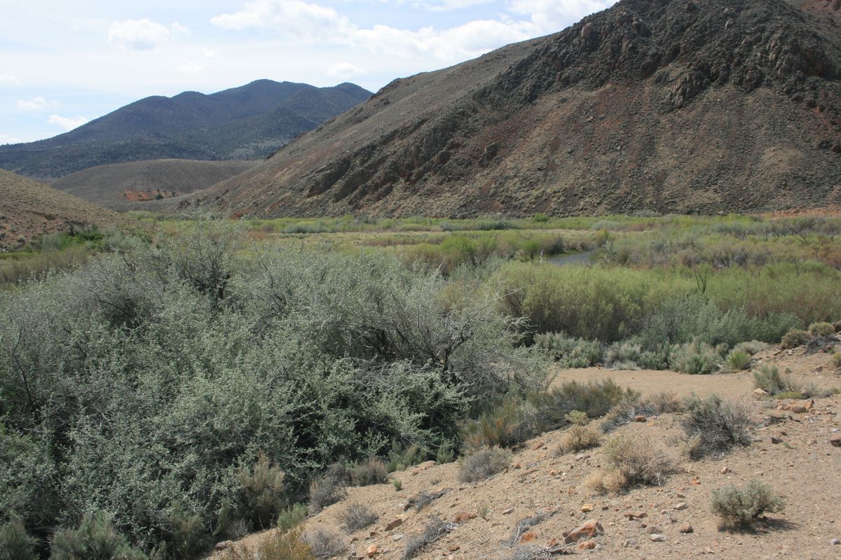
The other open unit is called the Elbow, at the south end of the river not far from the California line. This is a popular fishing area. It includes a primitive campground, Bighorn Campground, with vault toilets but no water or other amenities.
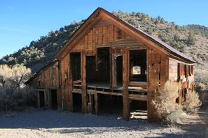
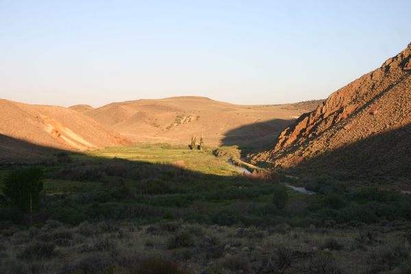
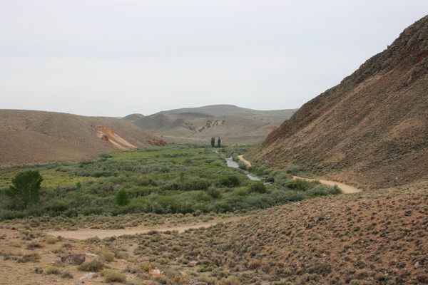
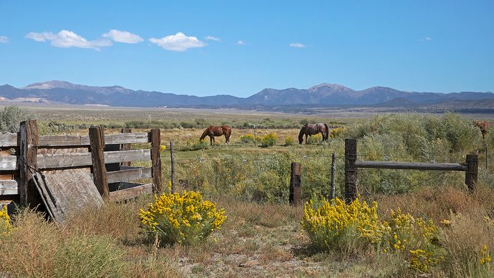
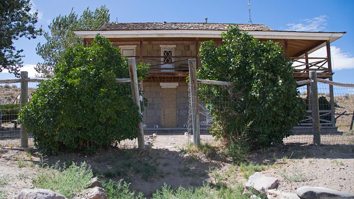
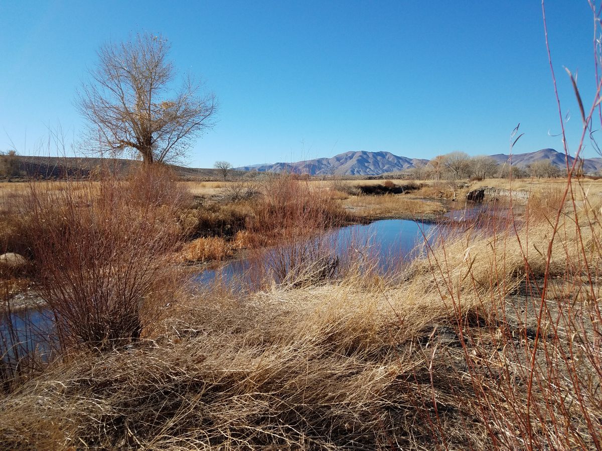
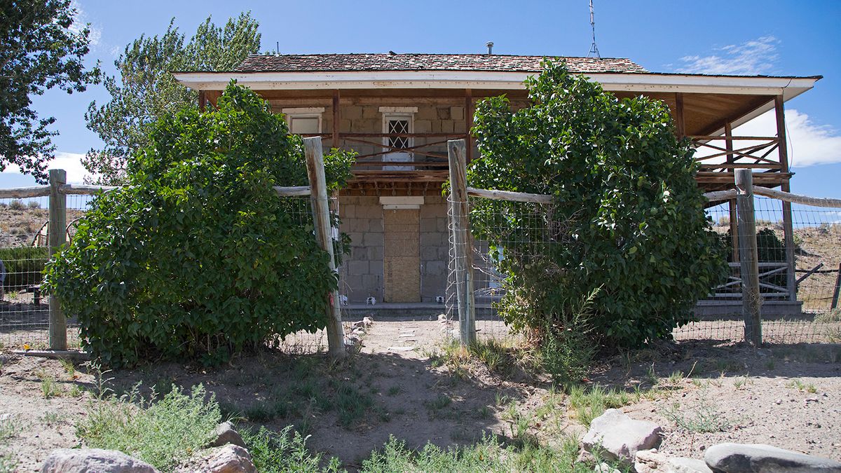
The Rafter 7 Ranch and Flying M Ranch, along the middle course of the river, were also acquired by the state park and will be opened eventually as the property transfer is finalized and infrastructure built. The park also acquired the historic Ninemile Ranch, south of the river on its tributary Rough Creek, near the old site of Fletcher. This ranch includes what is said to be the oldest Euro-American structure in Lyon County and was a Pony Express station briefly. Mark Twain is thought to have visited there, the place being mentioned in Roughing It
Related Tags
Know Before You Go
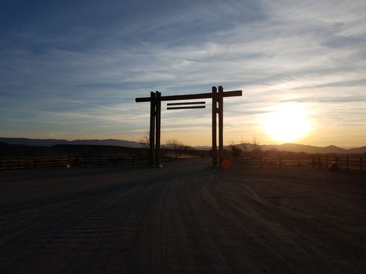
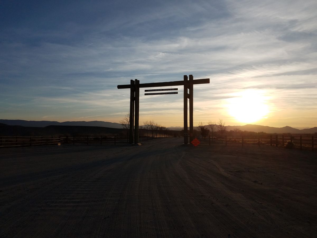
The Pitchfork Ranch Unit is at the southeastern edge of Mason Valley and is straightforward to find. From Nevada State Route 208, which runs on the east side of Mason Valley, turn left on a well-marked turnoff about 38.88130 N, 119.14497 W. It's about four miles to the park entrance, which is marked with an entry gate.
The easiest way to get to the Elbow Unit, which is about 30 airline miles south of the Pitchfork Ranch Unit, is as follows. From the turnoff to the Pitchfork Unit take State Route 208 south and west through Wilson Canyon about 15 miles to its intersection with State Route 338 in Smith Valley. Then follow SR 338 south about 28.2 miles toward Bridgeport, California, and turn left on US Forest Service Road 028. USFS 028 comes in about 2.7 miles before the California line and is signed for "Hawthorne." This junction is at about 38.44262 N, 119.13145 W. From here it is about 5.5 miles to the turnoff (on the left, at about 38.42793 N, 119.04558 W) to the Bighorn Campground. There are various primitive roads accessing the river along here.
It's another seven miles along USFS 028 (which becomes the Lucky Boy Road) to the Ninemile Ranch. The historic ranch building is closed, pending restoration.
The turnoff to Aurora is another 2.3 miles down Lucky Boy Road. It makes an interesting side trip while in the area.
Published
February 1, 2024