


About
The Industrial Revolution saw the proliferation of mills and factories, along with the draining and covering up of many natural waterways. Now, with a lot of industry gone various municipalities are looking to undo the damage by reopening these streams and rivers, though perhaps not as bold as the project in Downtown Yonkers.
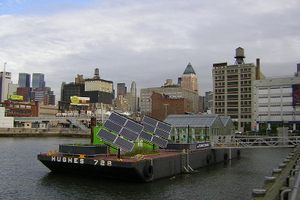
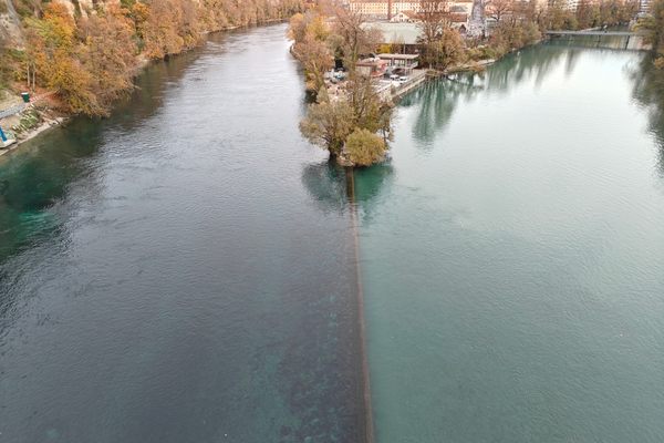
The Saw Mill River, originally called Nepeckamack ("fish trapping place"), was a boundary between groups of Lenape and a popular fishing spot. Eels were populous, and graceful herons could be seen wading in the waters. When the area was taken over by the Dutch, the river gained its new Dutch name from all the mills that were built over its waterfalls. Later these would be joined by factories like the Otis Elevator Company.
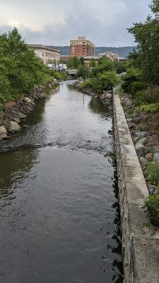
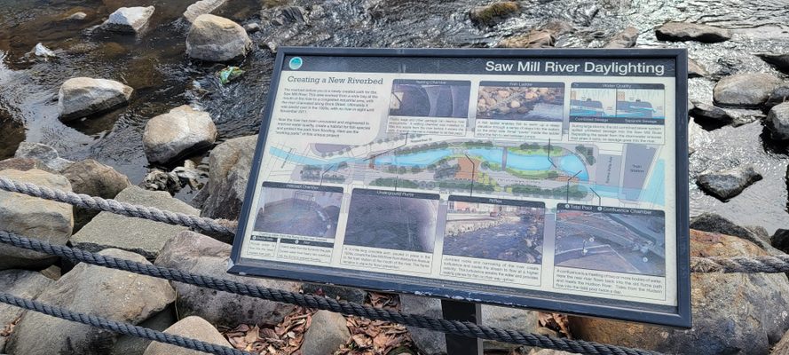
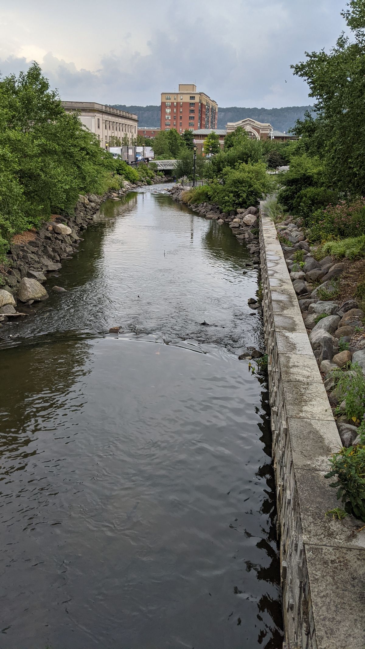
By the 1920s, the river was seriously polluted and would be covered over completely. A park, Larkin Plaza, was constructed over it. However, in the 90s the U.S. Army Corps of Engineers recommended opening it back up, and the daylighting project began in 2010. The flume covering the river was cut up and the riverbed was lined with polymer sheeting to prevent contamination from the former factory grounds.
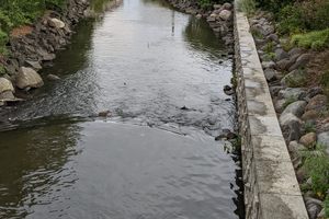
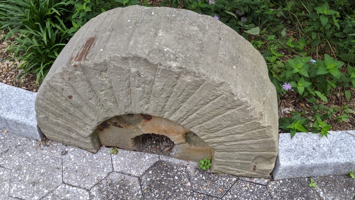
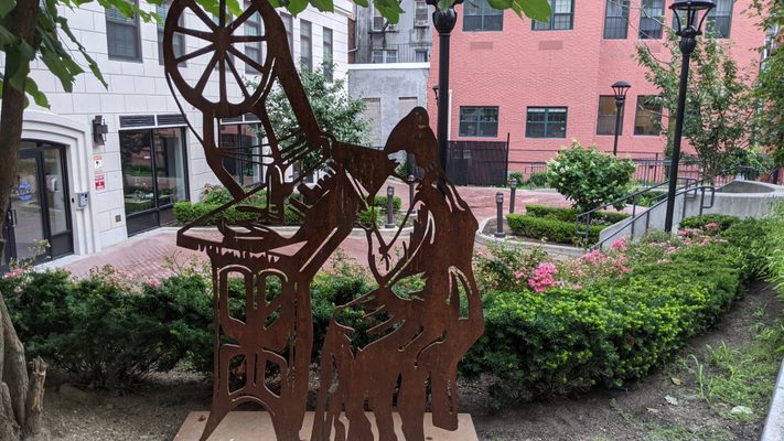
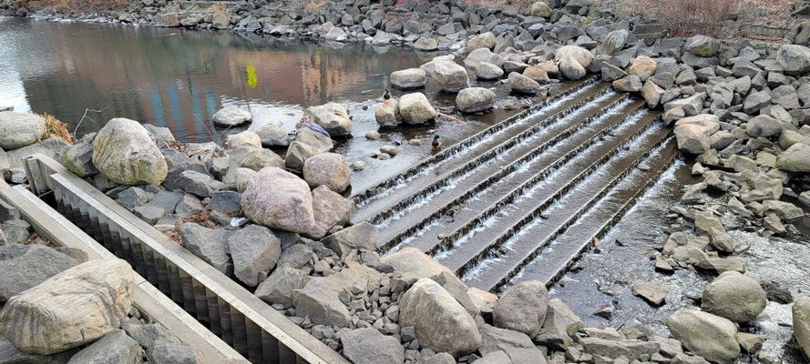
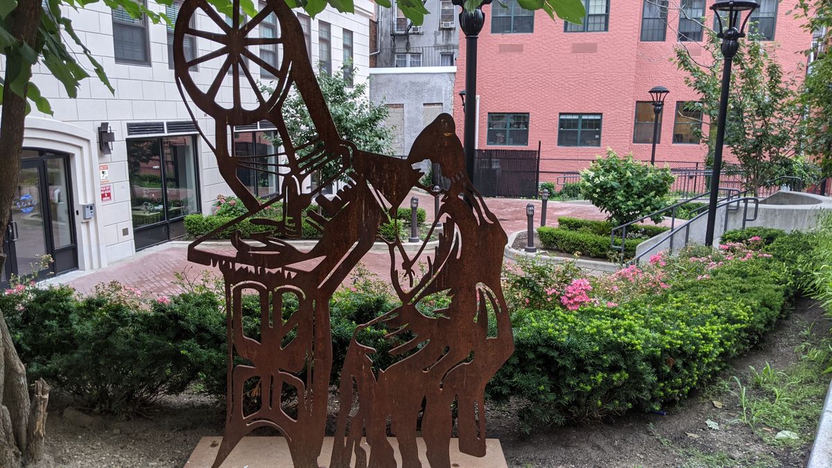
Other improvements were made throughout the decade, with ground opened up around Mill Street to create a pedestrian walkway over the water, lined with artwork celebrating the history of the area. Fish have been reintroduced to the river, with ladders installed to aid their migration. Special nets prevent trash from flowing into the now-clean water, while sewage is directed away from it. And plans to extend the open river even further inland are in the works.
Related Tags
Know Before You Go
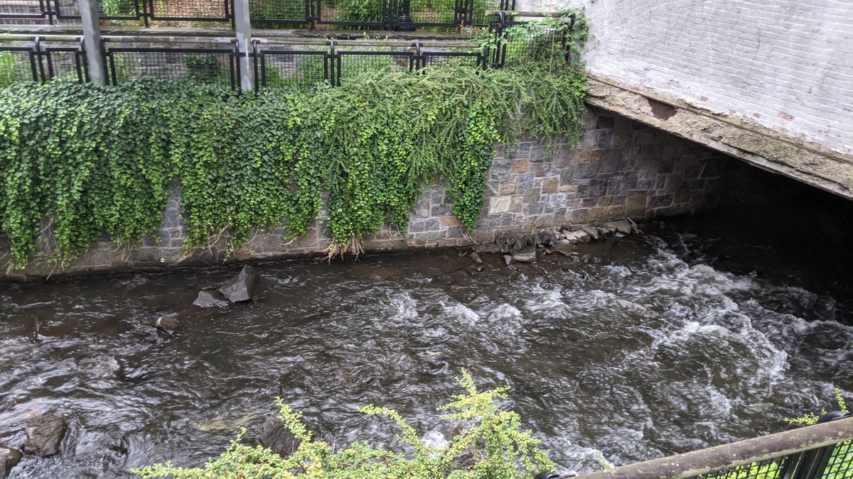
Saw Mill River runs underneath the Yonkers Station, so you'll easily trace the river's path by crossing the street from there. Phase 3 is not yet complete so the path ends at Warburton Avenue.
Published
August 12, 2021
Sources
- https://untappedcities.com/2020/05/19/explore-the-stunning-daylighted-saw-mill-river-in-yonkers/
- https://read-the-plaque.appspot.com/plaque/saw-mill-river-daylighting-transformation-of-a-river
- https://ny.curbed.com/2016/12/15/13963898/yonkers-saw-mill-river-photo-essay
- https://en.wikipedia.org/wiki/Daylighting_(streams)