


About
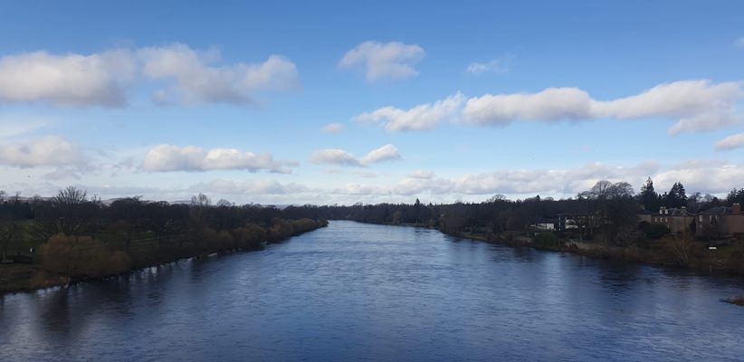
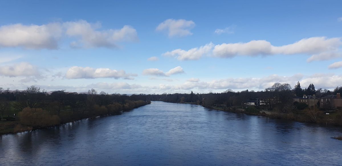
There are more than 200 rivers in Scotland, with the River Tay being the longest. It is the seventh-largest river in the United Kingdom, spanning nearly 120 miles, (193 kilometers). Producing more water discharge than the combination of England's two largest rivers, the Thames and the Severn.
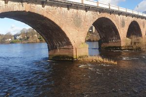
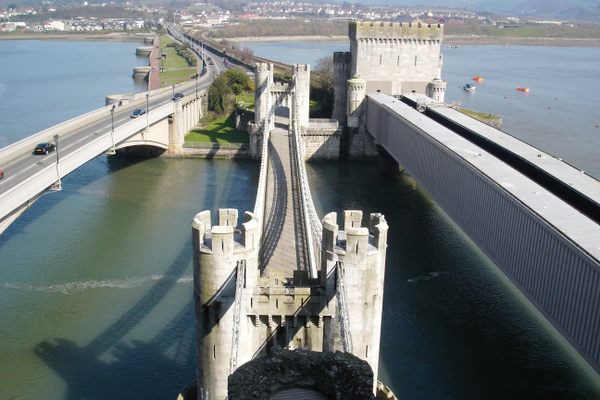
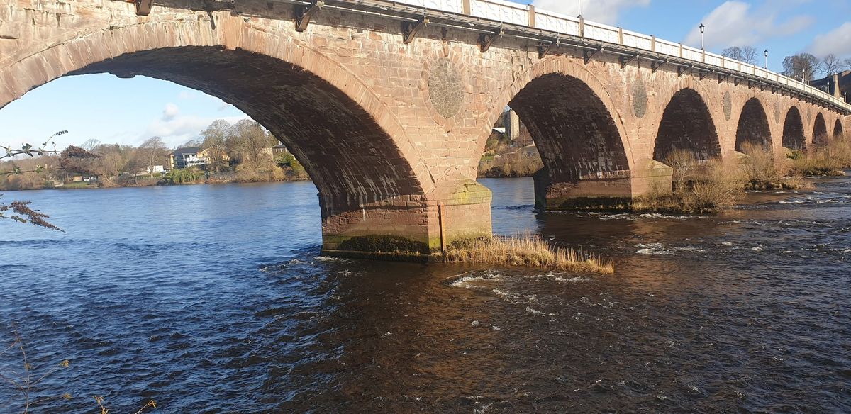
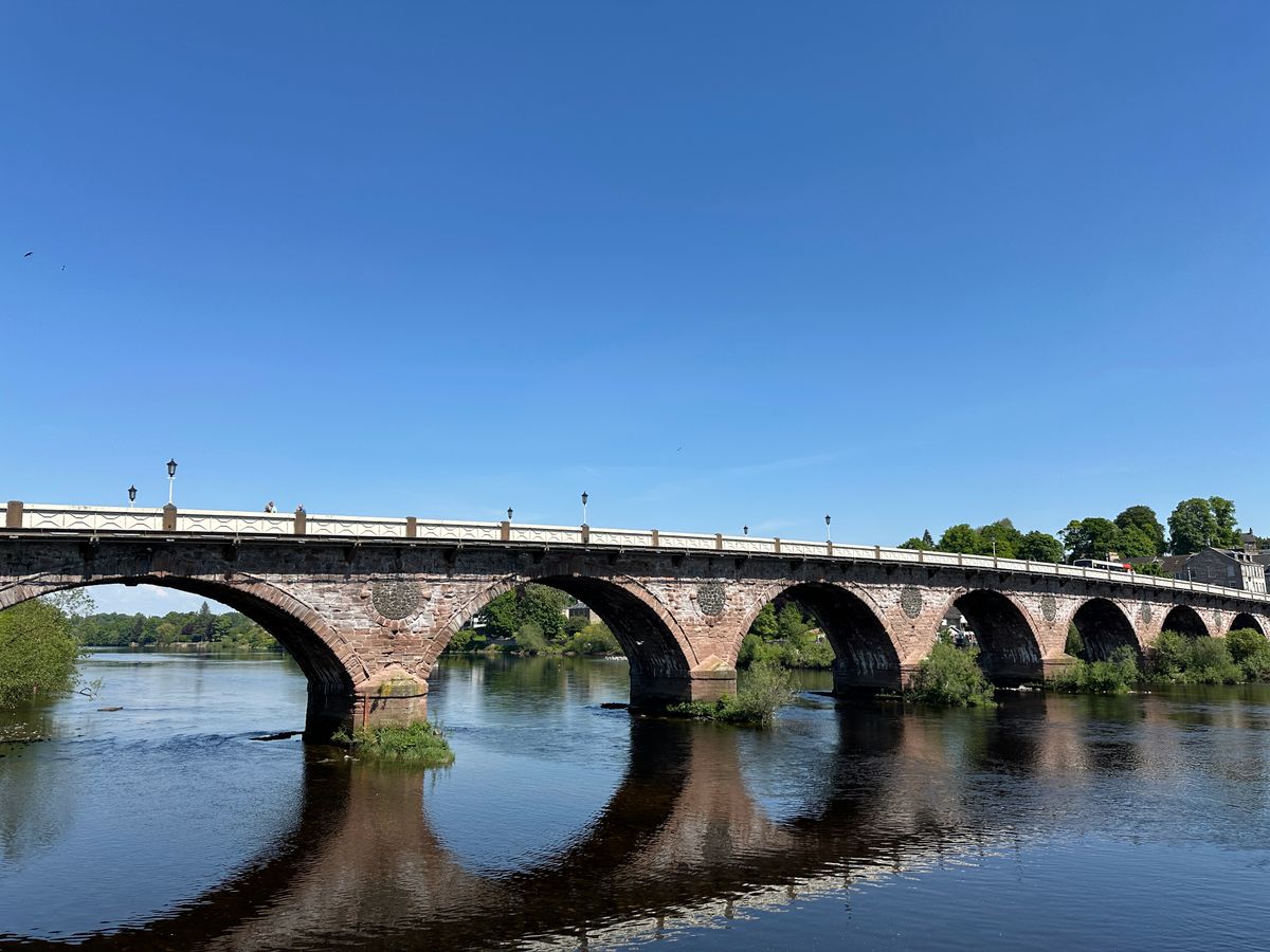
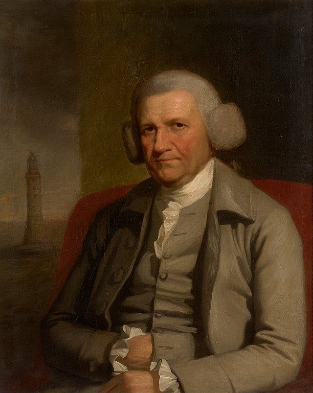
The oldest bridge that crosses over the River Tay is the category A-listed Smeaton Bridge, or as it is commonly referred to Perth Bridge. Its expanse is just under a quarter mile and is constructed of Perthshire sandstone. It's named after the British civil engineer, John Smeaton and was rebuilt toward the end of the 1800s after the previous bridge from the early 1700s collapsed. It was widened in 1869 to accommodate the increase in traffic.
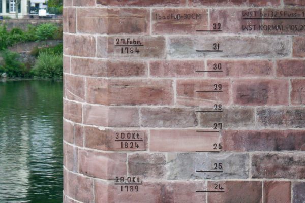
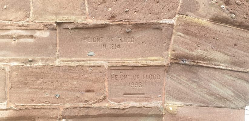
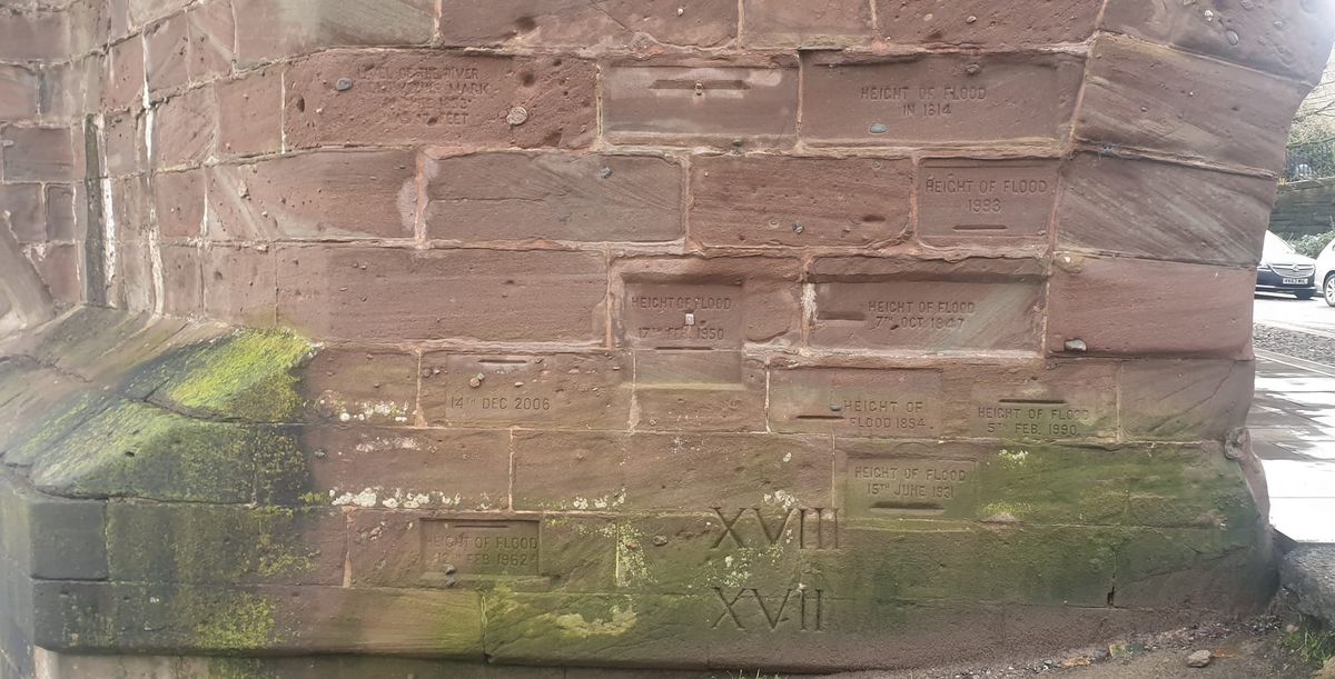
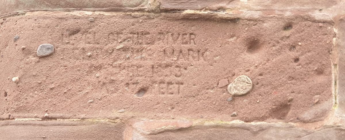
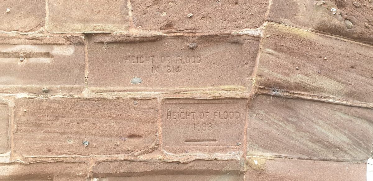
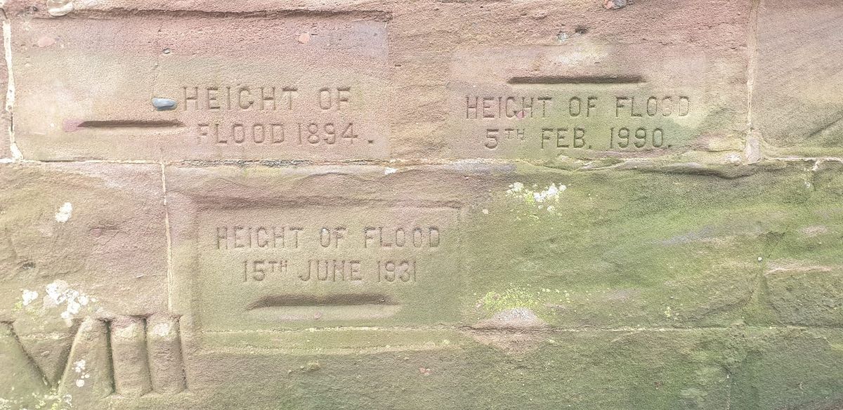
Being that this structure encounters a lot of water passing under its serval arches, it would only be expected that it would face several floods. Located on the Northside of the western aqueduct are several carvings with dates and numbers. These inscriptions depict the various flood levels and years they occurred. The dates range from 1814 to 1993 and are placed at the height that the river rose. These flood markings vary from just over 13 feet up to 24 feet.
Related Tags
Know Before You Go
Heading North on the A989/ Tay Street, there is a small side street to the right, just before the intersection of Bridge Lane and West Bridge Street. This cobbled stoned path will take you to the southern end of the North Inch green space. The flood markings are on the right of the north side of the archway you pass under.
Flavors of Scotland: Beyond the Haggis
Smoked seafood, single malt whisky, and warm hospitality.
Book NowPublished
May 2, 2023