


About
Dulsie is said to have its origins in the word dhulfhasaidh, which means meadow.
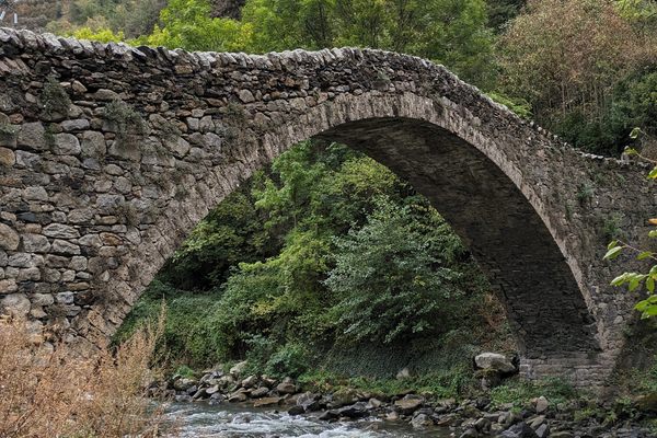
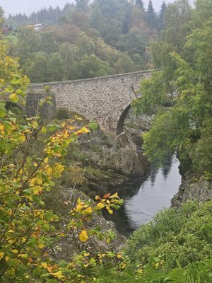
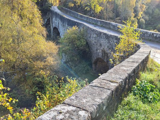
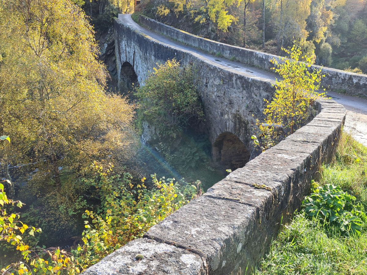
The current bridge dates to 1755, when it was constructed by Major William Caulfield and men from Lord Robert Manner's Regiment. Around this time, hundreds of miles of military roads were constructed across the Scottish Highlands to improve transportation and communication. The roads also allowed the government to better control the area.
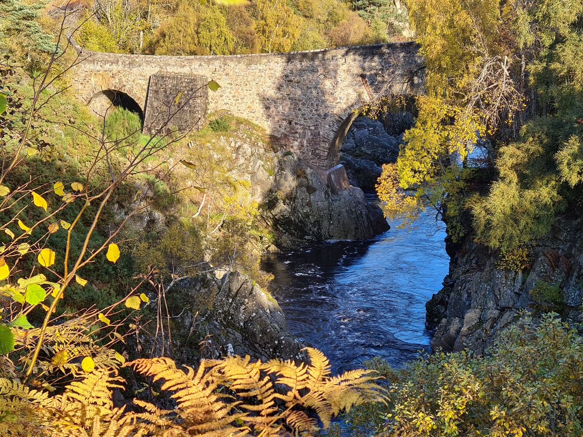
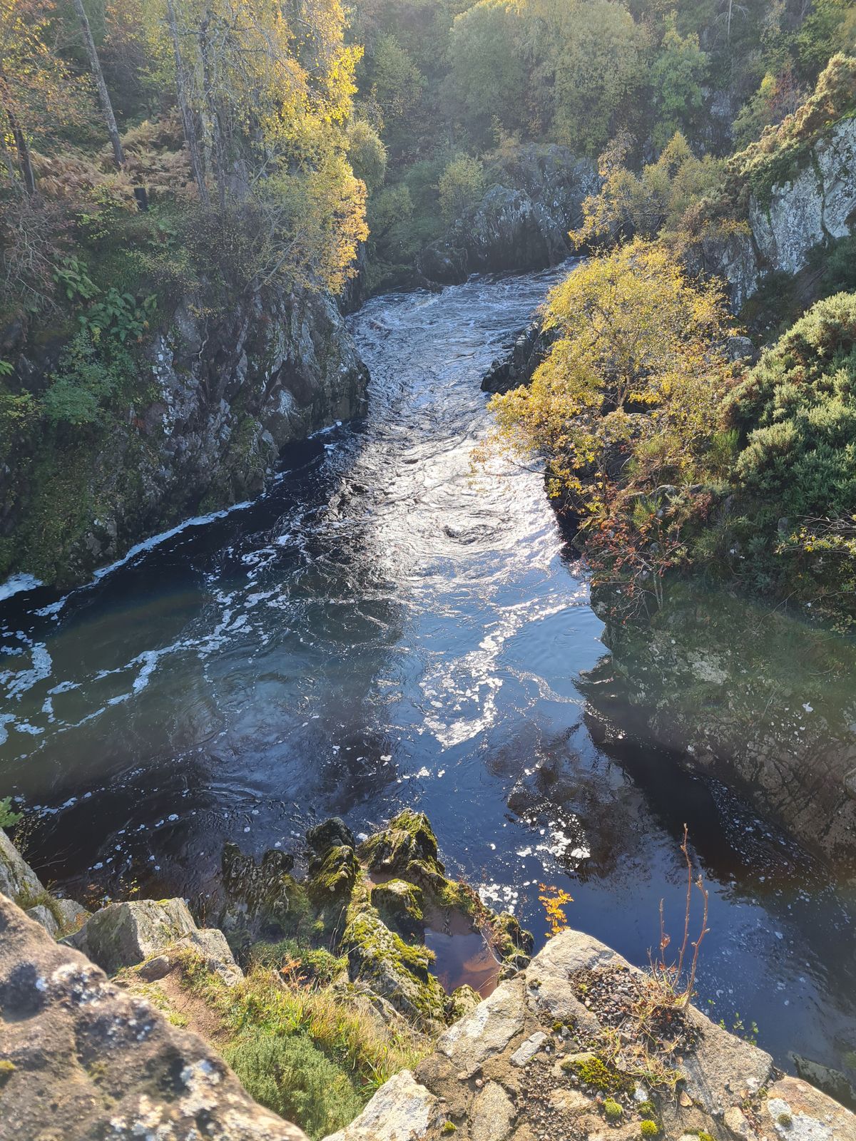
The roads linked places of military importance and Dulsie Bridge provided a crossing over the River Findhorn and the waterfall that tumbles below.
In 1829 the infamous Muckle Spate, a great flood, swept away many of the surrounding farmhouses, mills, and bridges, although the Dulsie survived. The waters reached the top of the smaller arch and came within three feet of the keystone of the main arch. This flood remains the most devastating recorded in the area.
The area is also linked to Robert Burns who was believed to have stayed at the King's Inn, a farmhouse nearby during his tour of the Highlands in 1787.
Related Tags
Know Before You Go
There is a small parking area with picnic tables at the top of the bridge which provides access to a safe viewing point along a short trail.
Flavors of Scotland: Beyond the Haggis
Smoked seafood, single malt whisky, and warm hospitality.
Book NowPublished
November 27, 2020