


About
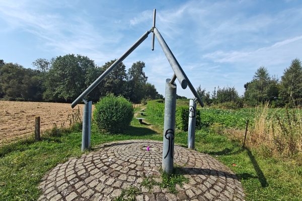
The Netherlands is known for its flat terrain and reclaimed land, much of which is below sea level. The highest point in the land is an underwhelming 322 meters, but what about the lowest? That honor goes to a quiet region in the town of Nieuwerkerk aan den IJssel.
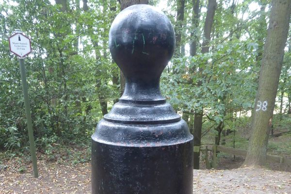
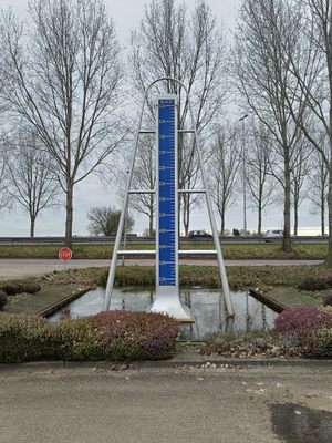
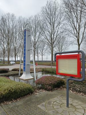
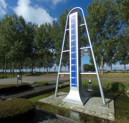
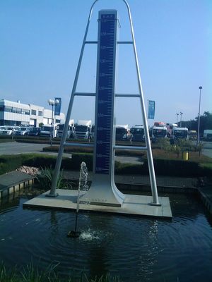
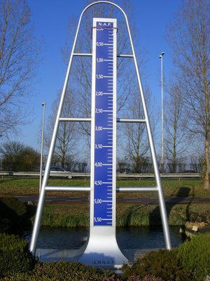
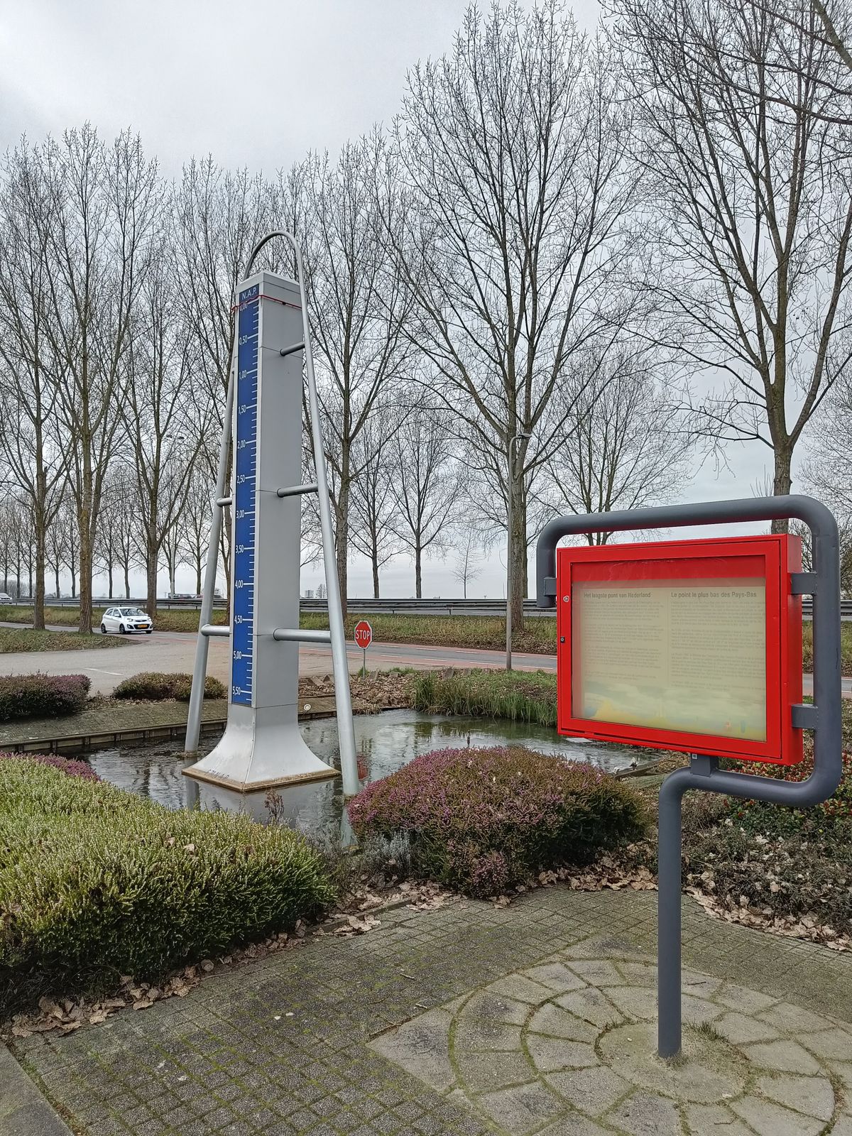
The point is located on the bottom of a former polder that was dried up in 1841 in order to access the peat beneath it. Over the years the land has stayed dry and became developed. The lowest point is located just next to the A20 highway at a height of 6.67 meters below sea level. The monument itself features a large ruler that shows how far below sea level the visitors are.
The exact location of the lowest point in the country has been a subject of debate for a long time, until eventually, the measuring department of the Directorate-General for Public Works and Water Management decided on a definition and location in 1995. Their definition for the lowest point is as follows: "The average height of a mostly horizontal field of about one hectometer that is walkable by humans and animals, measured with respect to the NAP, is lower than any other such average point in the Netherlands."
This means that the point does not need to be natural, but needs to be flat, accessible, and large enough.
Related Tags
Know Before You Go
The monument is freely accessible.
Published
September 1, 2021