


About
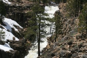
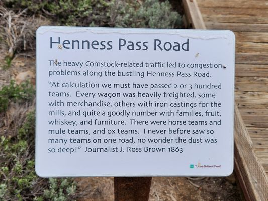
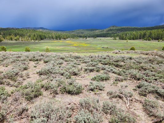
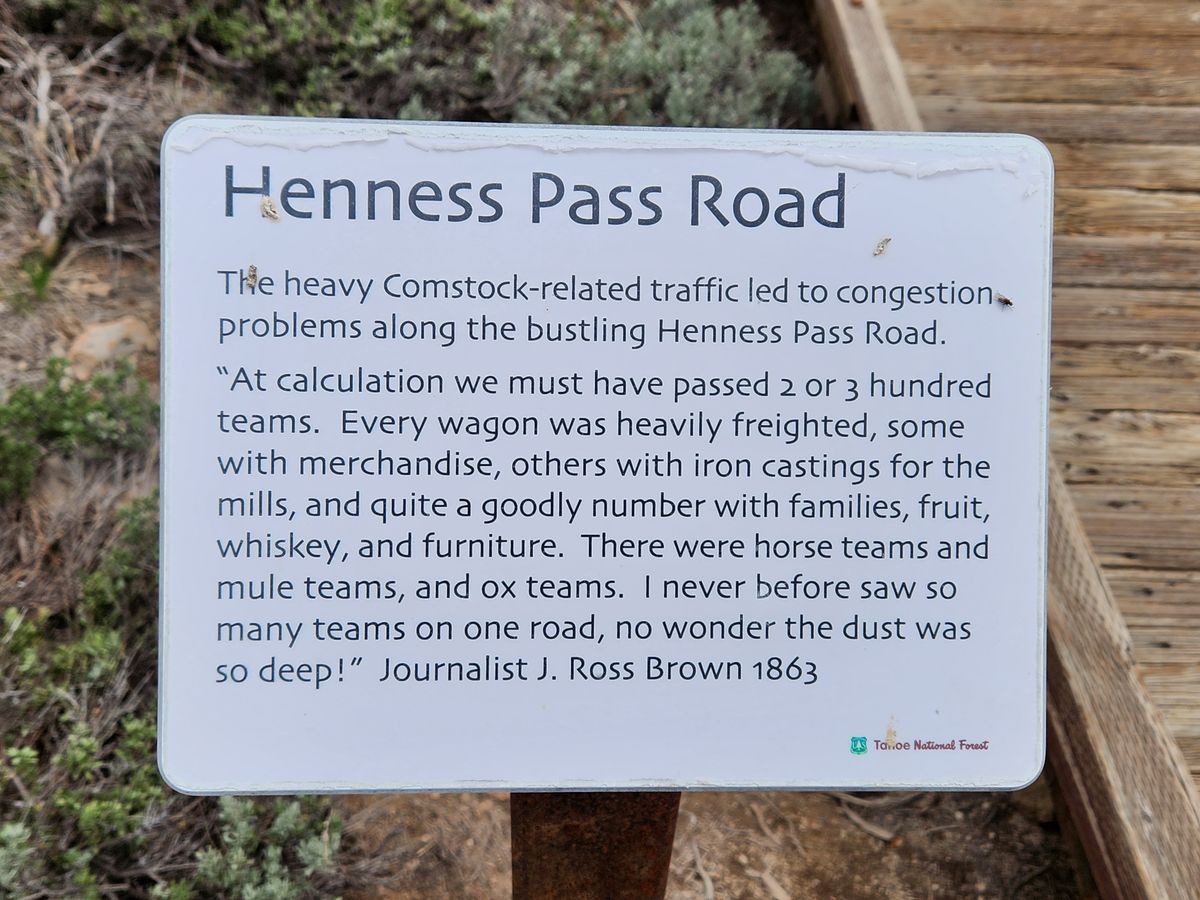
What became the Henness Pass route over the Sierra Nevada followed ancient Native American trails. About halfway between Donner Pass (on the south) and Yuba Pass (on the north), it had become a popular route into California by the 1850s. Although a bit longer to the goldfields, it was lower, and it avoided Donner Pass, which had acquired a sinister reputation due to the fate of the Donner party in the 1840s. By the 1860s, with the discovery of silver in the Comstock Lode, much traffic was now traveling back eastward, carrying supplies into Nevada. This reflected the rise of San Francisco as a manufacturing center, especially for mining equipment, as well as the burgeoning agricultural development in California.
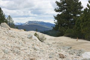
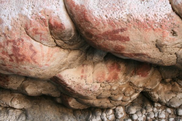
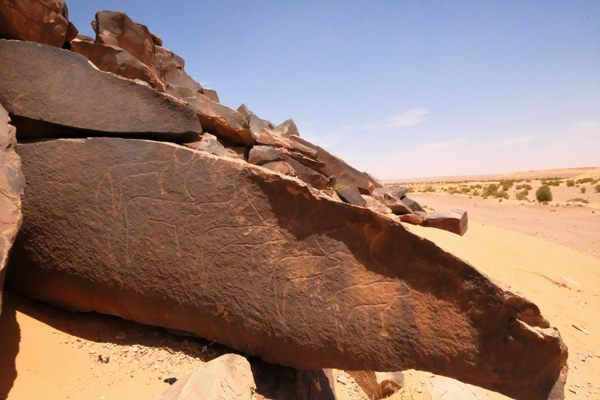
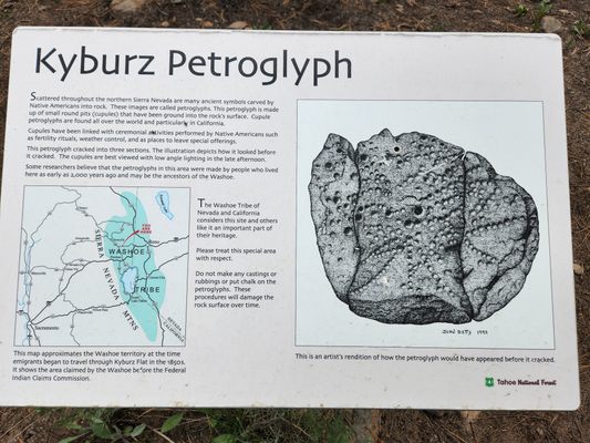
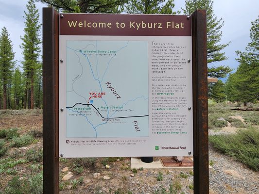
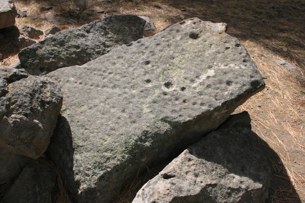
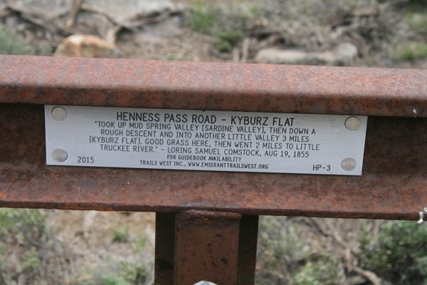
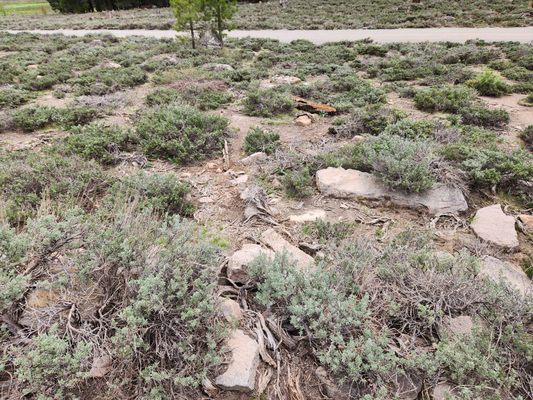
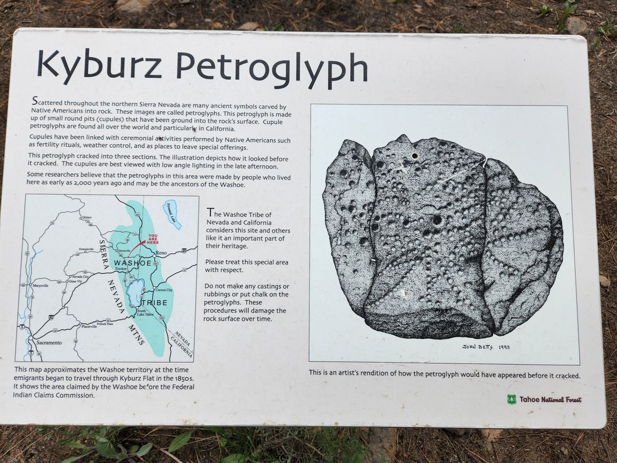
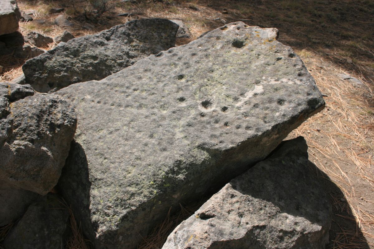
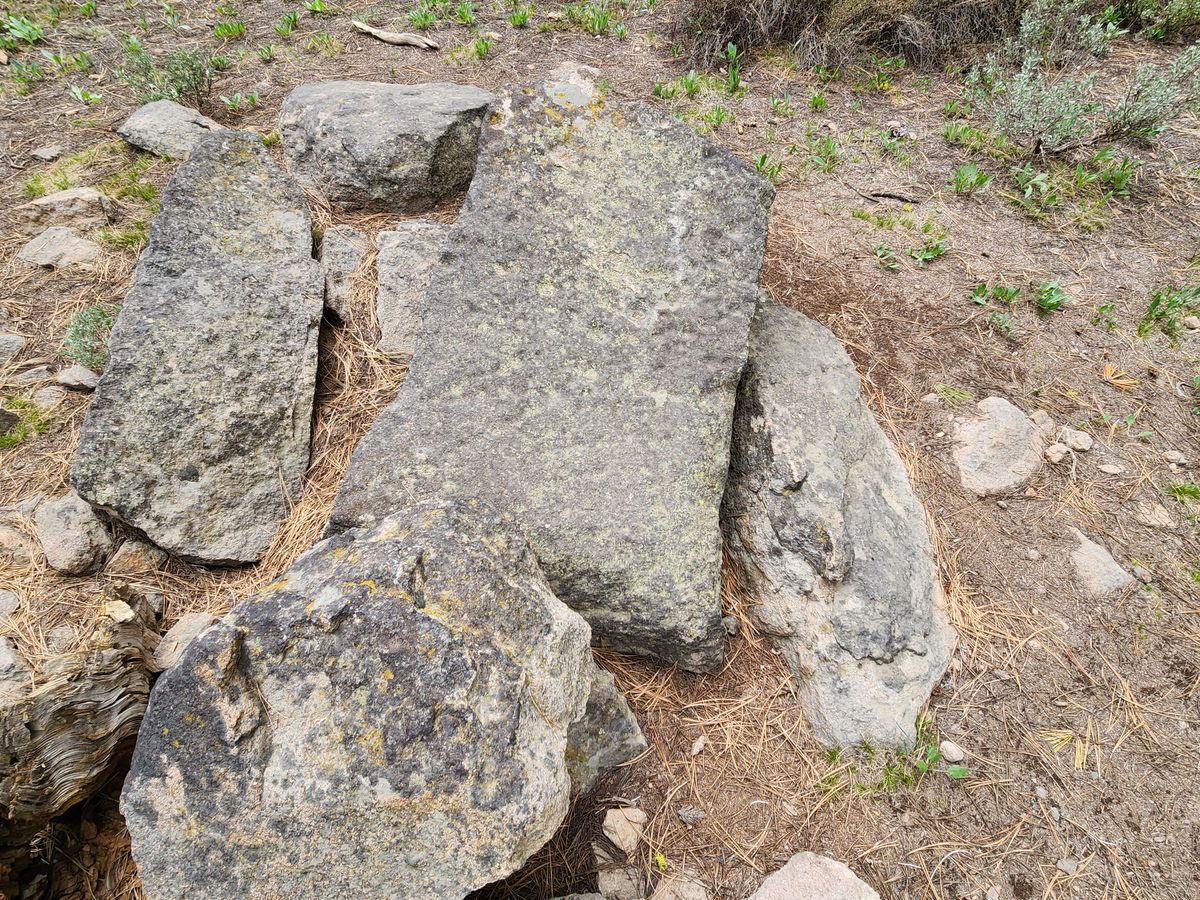
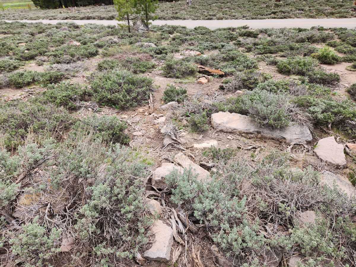
Kyburz Flat is on the Henness Pass road about a mile east of where the Little Truckee River bends south on its way to join the Truckee. It contains a petroglyph, consisting of enigmatic pits on a now fractured boulder. Its meaning is uncertain, although it is still sacred to local Native American tribes.
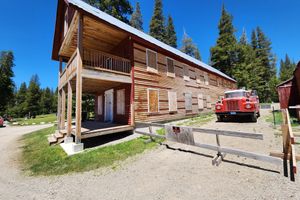
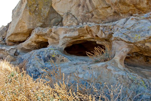
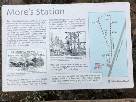
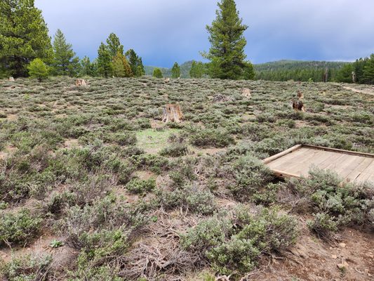
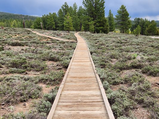
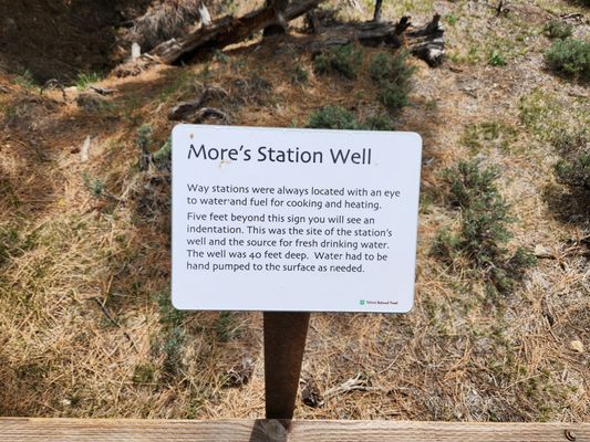
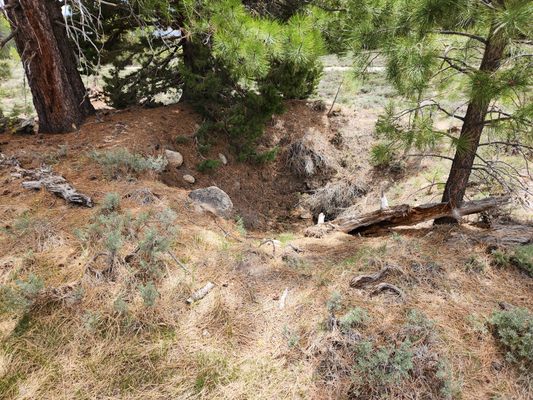
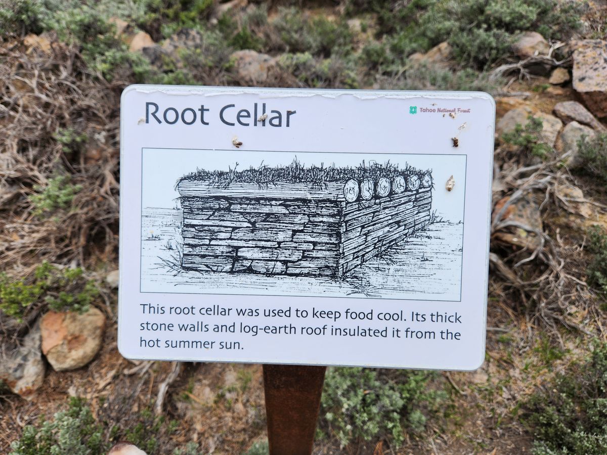
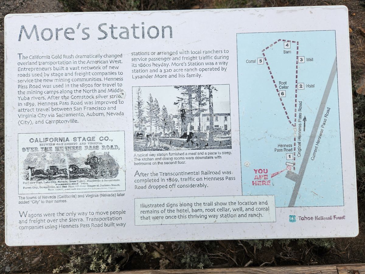
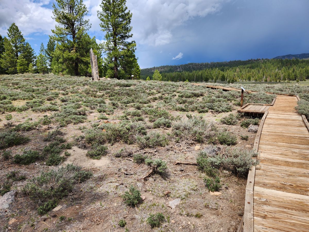
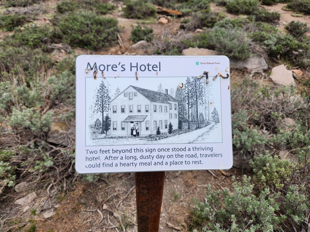
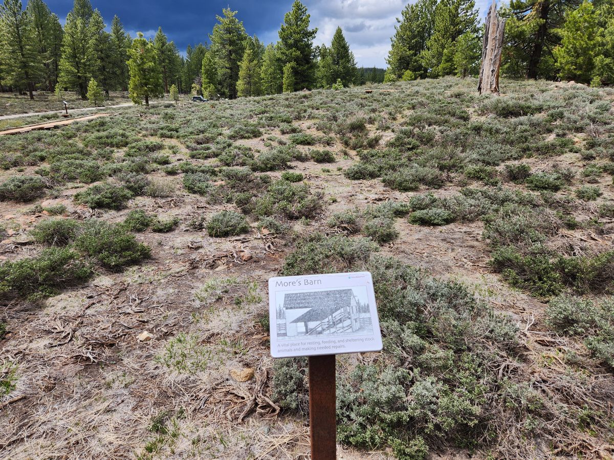
Just beyond the petroglyph is the site of More's Station, which consisted of a hotel and associated structures such as stables and corrals beginning in the 1850s. Little is left today, but interpretive signs identify the locations of the buildings. They are on a boardwalk that is passable to wheelchairs.
Traffic tailed off with the opening of the Transcontinental Railroad over Donner Pass in 1869. As late as the early 1920s, however, a section of the Henness Pass road was designated as part of the Lincoln Highway, one of the early coast-to-coast automotive routes.
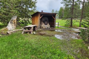
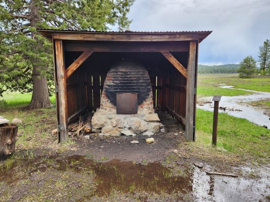
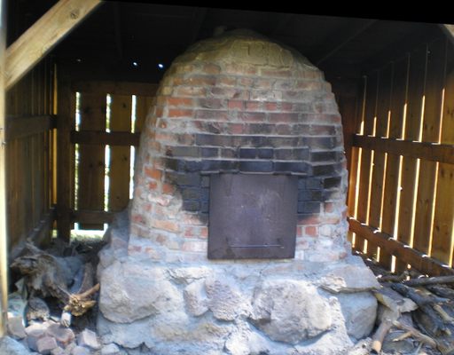
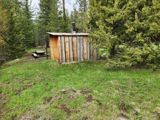
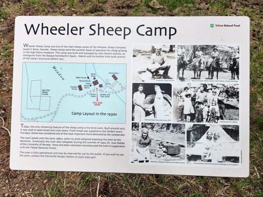
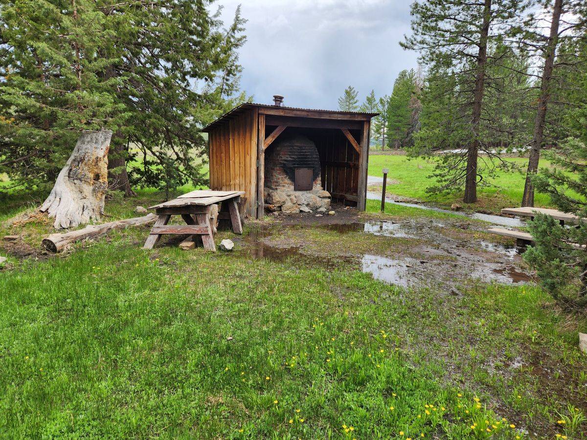
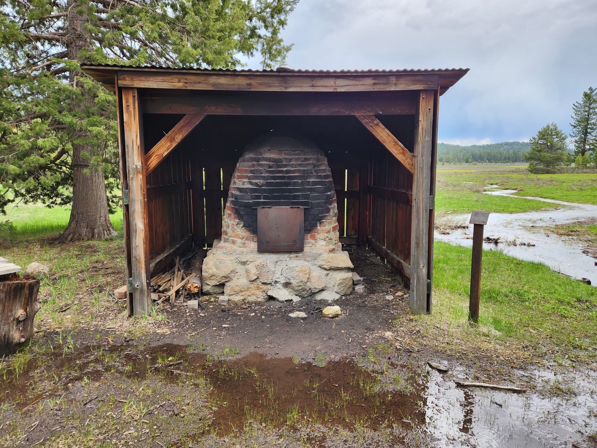
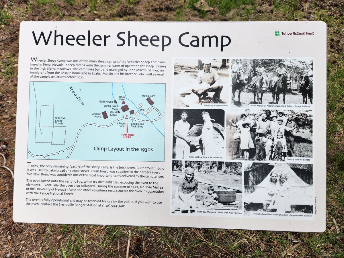
The most recent historic activity consists of an early 20th-century sheep camp, Wheeler Sheep Camp, where the most prominent structure remaining is a large brick oven. This oven was refurbished in the early 00s and can be reserved for group activities such as picnics. Wheeler Sheep Camp is just under a mile north of the More's Station site on a primitive dirt road that will likely require high clearance. It's an easy hike, however.
The Henness Pass Road, although first bypassed by the railroad and later by the 20th century automotive routes, still largely exists today, consisting of rough graded roads. As you travel these roads, far from the modern traffic, imagine the bustle that took place here over a century and a half ago, with the neighing of horses, the rumble and creak of wagons, the shouts and curses of the teamsters, and the clouds of dust.
Related Tags
Know Before You Go
Kyburz Flat is about a mile east off modern California State Route 89, on a well-defined graded road that should be marked. This road is called county road S450 and "Dog Valley Road" on Google maps, and is 13.2 miles north of the intersection with Interstate 80. The road should be passable, with care, as far as Kyburz Flat to ordinary passenger cars but beware of washouts.
You can come in on the old Henness Pass road from the east to largely follow the 19th-century route, but this is not a passenger car road. High clearance will be required and probably 4wd in wet weather, and in any case the road is not open in the wintertime except locally to snowmobiles.
Turn on the Dog Valley road at Verdi, Nevada, off I-80, and stay on it as it goes through the old Henness Pass Junction. At 2.9 miles from the California-Nevada state line, Long Valley Road turns off to the right; stay left on Dog Valley road. It curves to the southwest, becoming County Road S860 through here. Do not turn south toward Stampede Dam at the junction 7.3 miles from the state line but keep going straight.
In another 0.2 miles S860 turns north; keep going straight on Dog Valley Road, which has now become County Road S450. In another 0.4 miles there will be a junction with county road 370 to the left, probably signed for “Stampede Reservoir”; stay to the right. You will cross a low forested pass and drop into Sardine Valley in a mile. Turn left to keep following S450 along the south edge of Sardine Valley. The road will turn north and come to an intersection, 1.7 miles from the junction into Sardine Valley. S450 turns left here to follow Davies Creek. Turn here and stay on S450. It will top out over a low pass in about 4.4 miles. Kyburz Flat is another 1.5 mile.
You can reserve the old sheep-camp oven by contacting the Plumas National Forest (check the website).
Community Contributors
Added By
Published
October 18, 2023