Trips Places Foods Stories Newsletters
Loading...
Loading...
Loading...
Loading...

No search results found for
“”

Make sure words are spelled correctly.

Try searching for a travel destination.

Places near me Random place

Popular Destinations

  • Paris
  • London
  • New York
  • Berlin
  • Rome
  • Los Angeles
Trips Places Foods Stories Newsletters
Sign In Join
Places near me Random place
All the United States Nevada Fallon Fairview Peak-Dixie Valley Fault Scarps
AO Edited

Fairview Peak-Dixie Valley Fault Scarps

In 1954, two enormous earthquakes occurred just minutes apart, resulting in prominent scarps that extend for miles along the range fronts.

Fallon, Nevada

Added By
slgwv
Email
Been Here
Want to go
Added to list
CAPTION
Fairview Peak scarp.   slgwv / Atlas Obscura User
Fairview Peak scarp, close-up. The trees give a sense of scale.   slgwv / Atlas Obscura User
Scarp in Dixie Valley by Big Box Canyon, looking south. This is the turnaround point at the end of the Big Box Canyon access road.   slgwv / Atlas Obscura User
Scarp in Dixie Valley by Big Box Canyon, looking north. This is the turnaround point at the end of the Big Box Canyon access road.   slgwv / Atlas Obscura User
Turnoff to Big Box Canyon. The prominent drainage to the right of the road is _Little_ Box Canyon. Big Box Canyon is the prominent drainage to the right of the snowcapped peak.   slgwv / Atlas Obscura User
Entrance to Big Box Canyon.   slgwv / Atlas Obscura User
Big Box Canyon. Note the flowing creek due to a heavy winter snowpack.   slgwv / Atlas Obscura User
Waterfall at the head of Big Box Canyon.   slgwv / Atlas Obscura User
Big Box Canyon (center of photo), as seen from Dixie Valley Highway.   slgwv / Atlas Obscura User
Dixie Valley fault scarp at the trailhead/parking area for Big Box Canyon.   slgwv / Atlas Obscura User
Looking out Big Box Canyon.   slgwv / Atlas Obscura User
Scarp in Dixie Valley at the range front, highlighted by late afternoon shadows. This is north of Willow Canyon   slgwv / Atlas Obscura User
Scarp in Dixie Valley by Big Box Canyon, looking north. This is the parking area/turnaround point.   slgwv / Atlas Obscura User
In Big Box Canyon.   slgwv / Atlas Obscura User
Scarp below Fairview Peak to the east. The steep slope in the foreground is part of the scarp, and is continuous with the obvious break in the background.   slgwv / Atlas Obscura User
Scarp in Dixie Valley at the range front, highlighted by late afternoon shadows. The prominent canyon to the left of the ridge with the road running up it is Willow Canyon.   slgwv / Atlas Obscura User
The turnoff for the access road to the Fairview Peak scarps, on US-50. Looking east.   slgwv / Atlas Obscura User
Fault scarp at the main viewing area   cl94 / Atlas Obscura User
Fault scarp from the main viewing area   cl94 / Atlas Obscura User
Turnoff for the main viewing area. After this turnoff, high clearance is necessary as of April 2023.   cl94 / Atlas Obscura User
Information sign near US 50   cl94 / Atlas Obscura User
Been Here
Want to go
Added to list

About

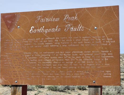
At 3:08 a.m. on December 16, 1954, the east side of Fairview Peak, about 35 miles east-southeast of Fallon, Nevada, was rocked by a huge earthquake, with a magnitude of 7.2 on the Richter scale. Four minutes and 20 seconds later, a second large earthquake (magnitude 6.9), triggered by the first, shook Dixie Valley to the north.

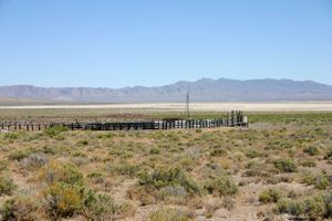
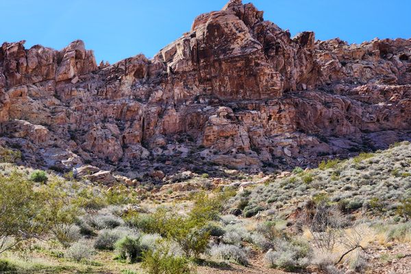
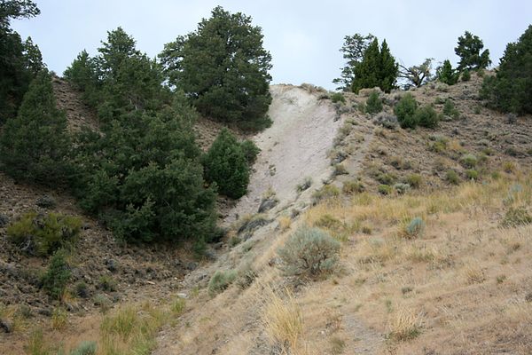
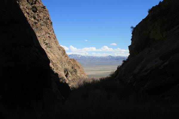
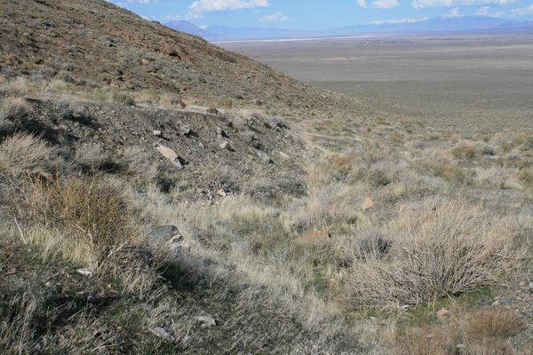
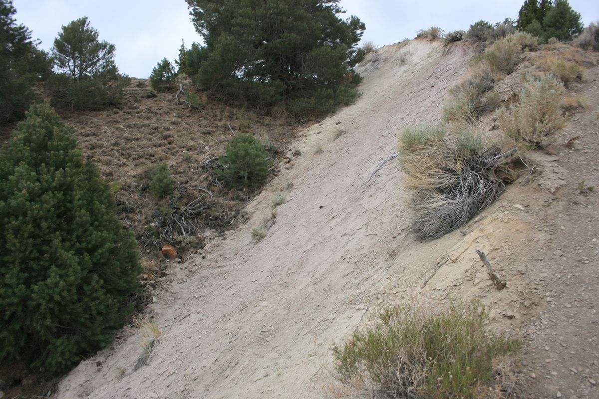
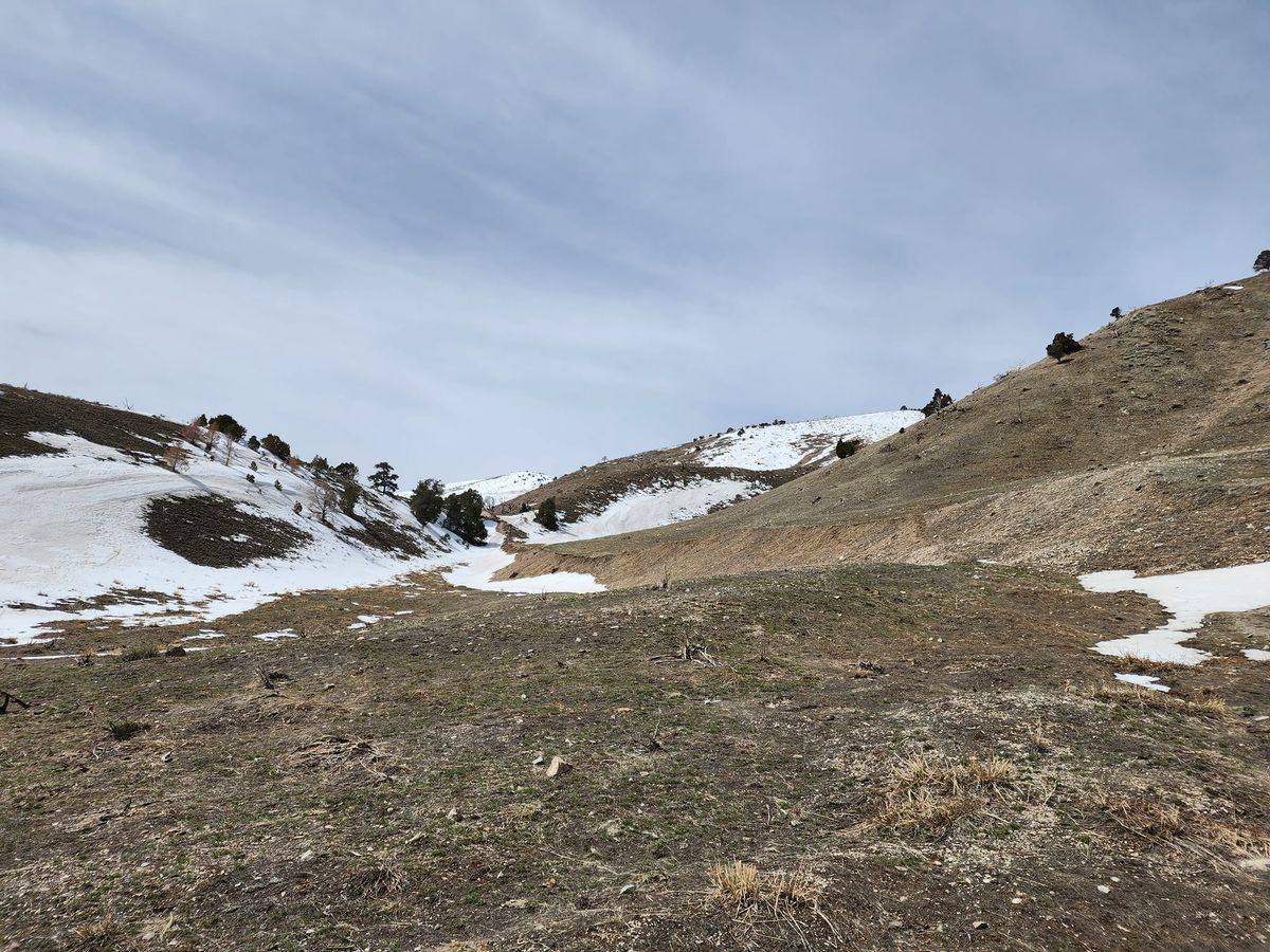
Because of the remoteness of the area, the damage was minor and no injuries were reported. But the pair of quakes left scarps (breaks) in the land surface that stretch for dozens of miles and measure up to 20 feet (six meters) high. Although somewhat rounded by 60-odd years of subsequent erosion, the scarps remain prominent to this day, and even show up on satellite photos. The east (downhill) side of the fault is dropped down with respect to the uphill side, and the offset in Dixie Valley is pulled away slightly, such that the scarp has a trough cross-section in many places.

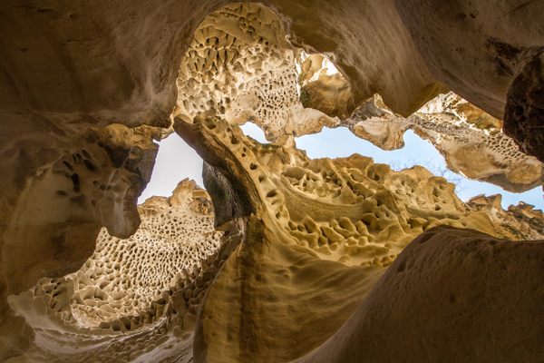
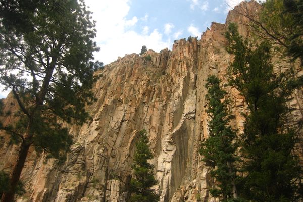
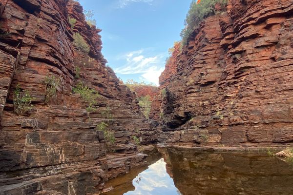
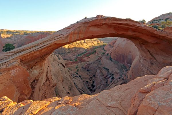
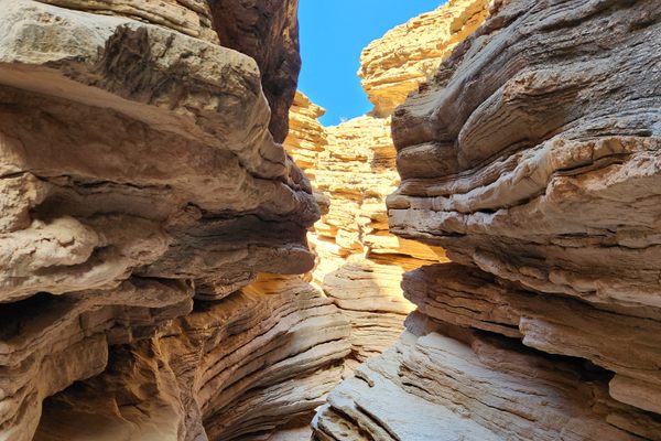
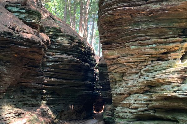
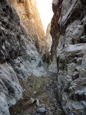
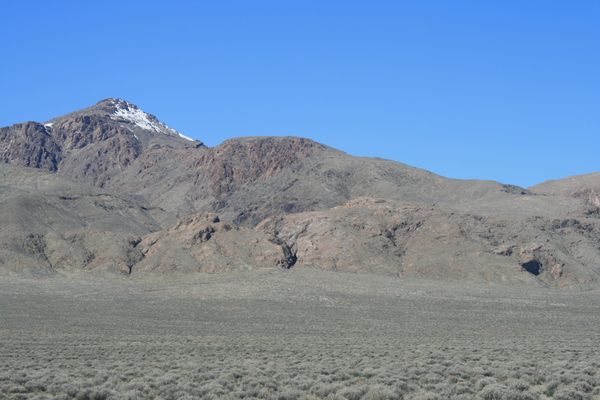
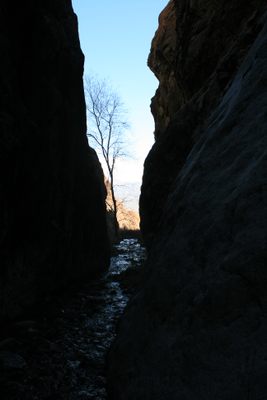
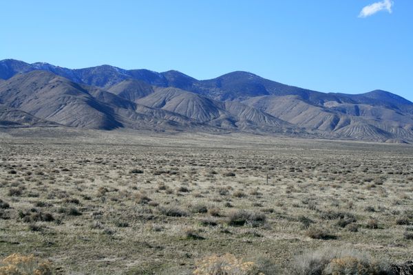
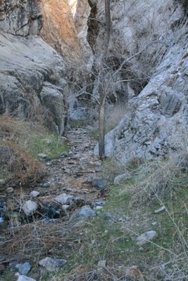
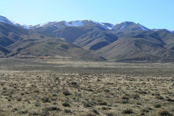
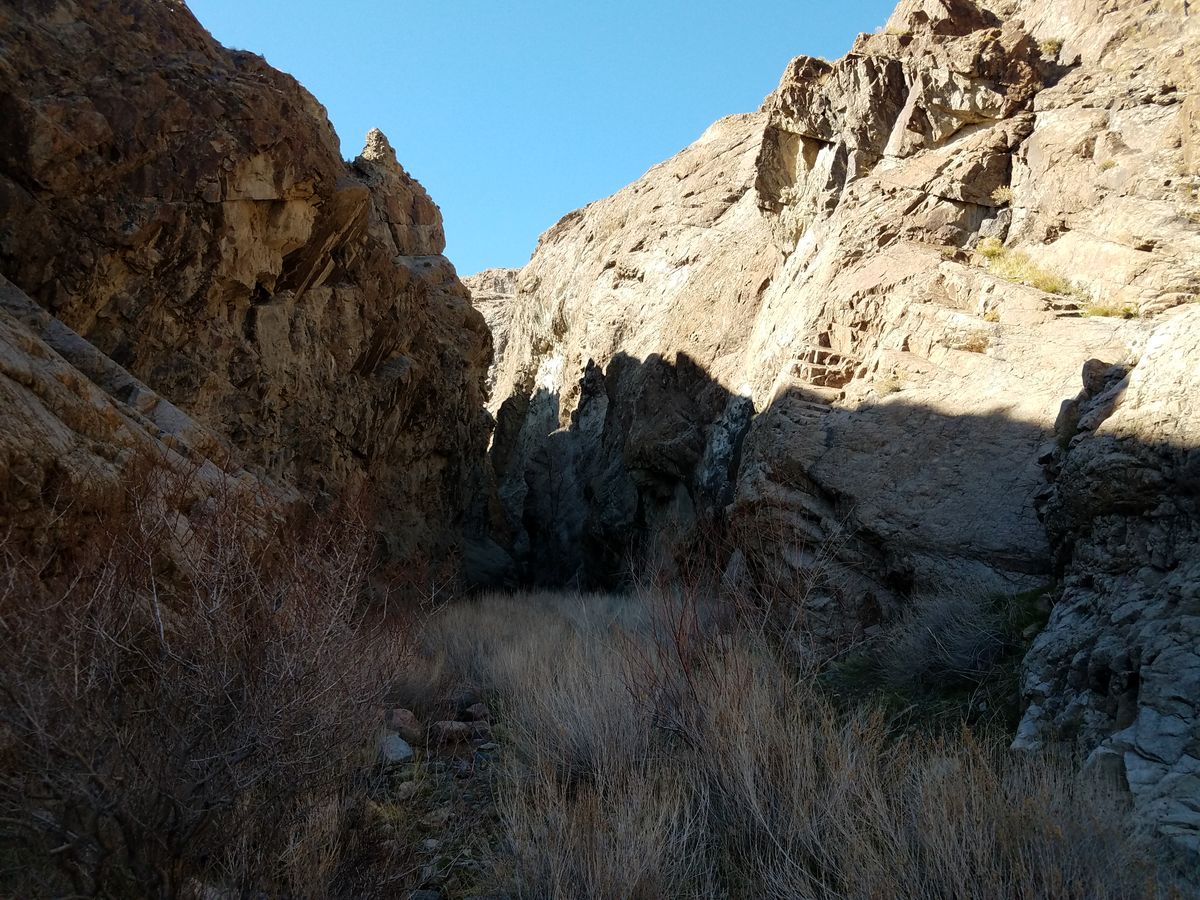
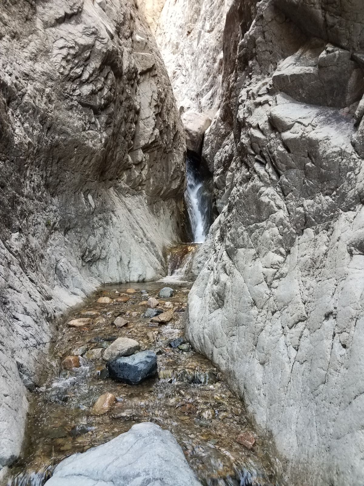
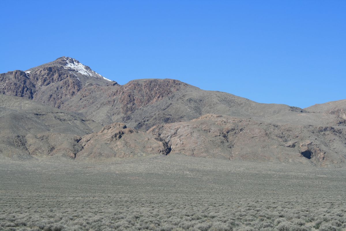
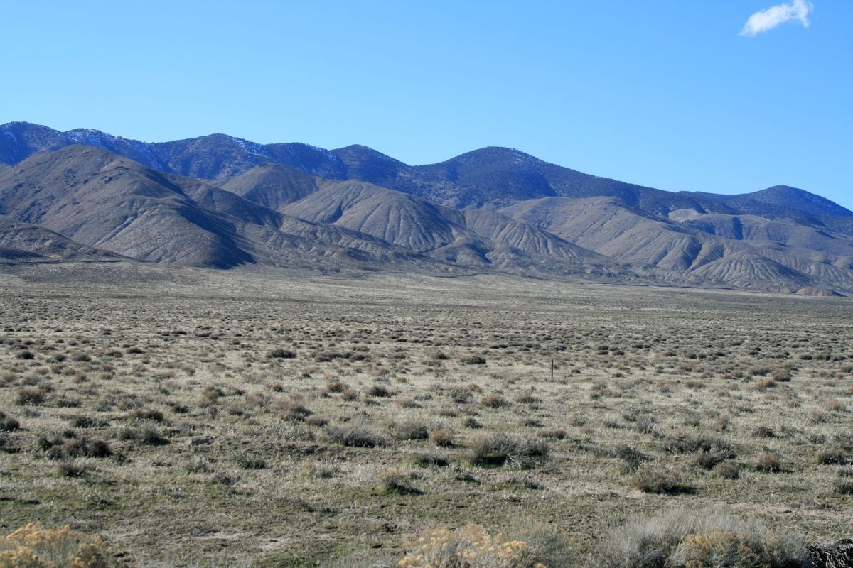
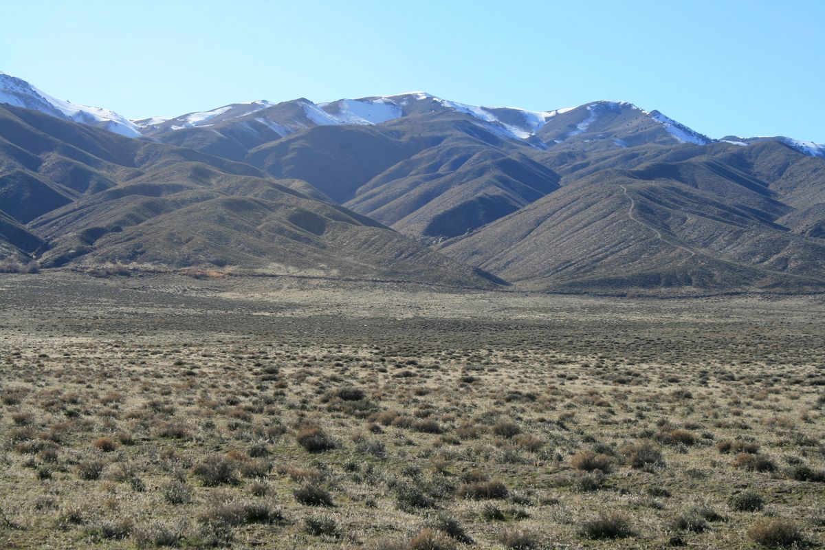
 The scarps lie in the Central Nevada Seismic Belt, a north-south trending zone that has been the site of a number of very large earthquakes over the last century. The area has been characterized by ongoing faulting throughout recent geologic time, however, as shown by fault-related features especially along the Stillwater Range on the west side of Dixie Valley. Some of the most spectacular are so-called "wineglass canyons," slot canyons that taper downward like a wineglass in cross-section. The down-dropping by the faulting has been so rapid that erosion can't keep up.

Related Tags

Canyons Rock Formations Natural History Earthquakes Geology

Know Before You Go

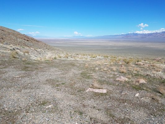
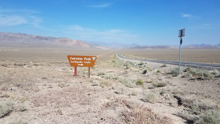
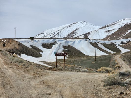
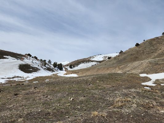
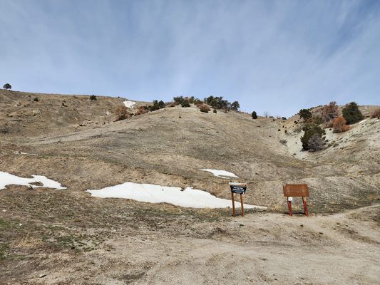
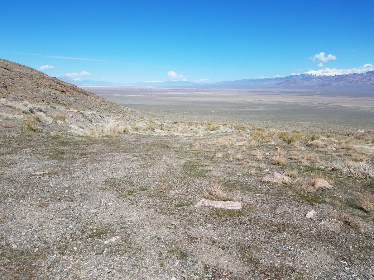
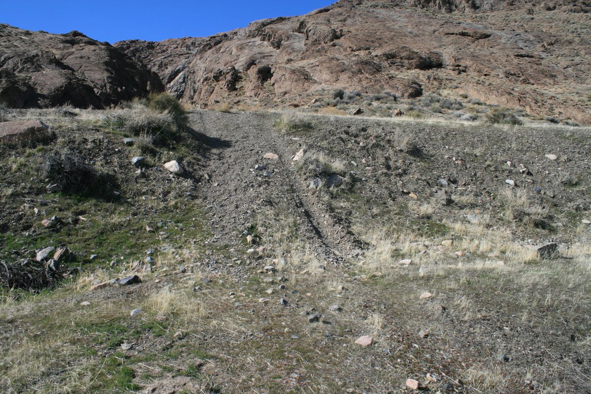
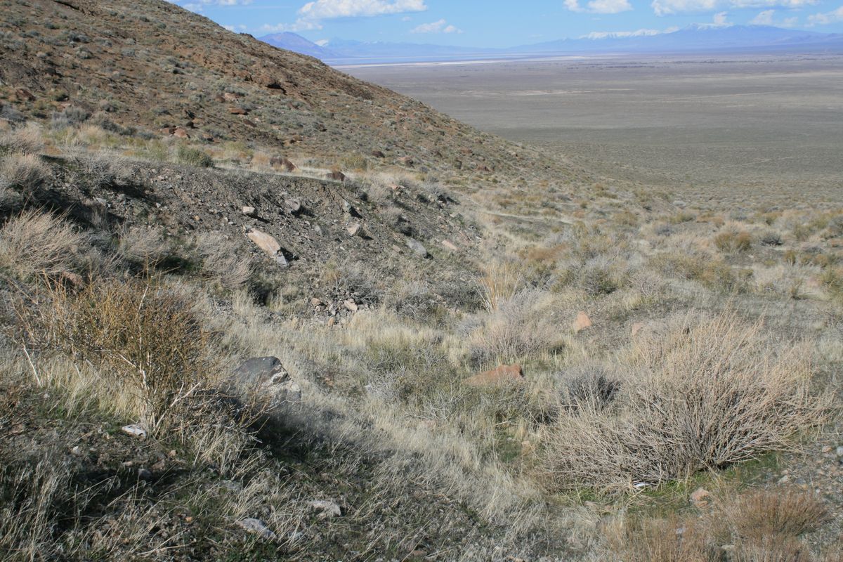
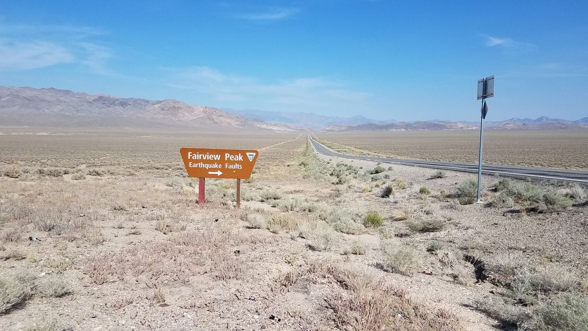
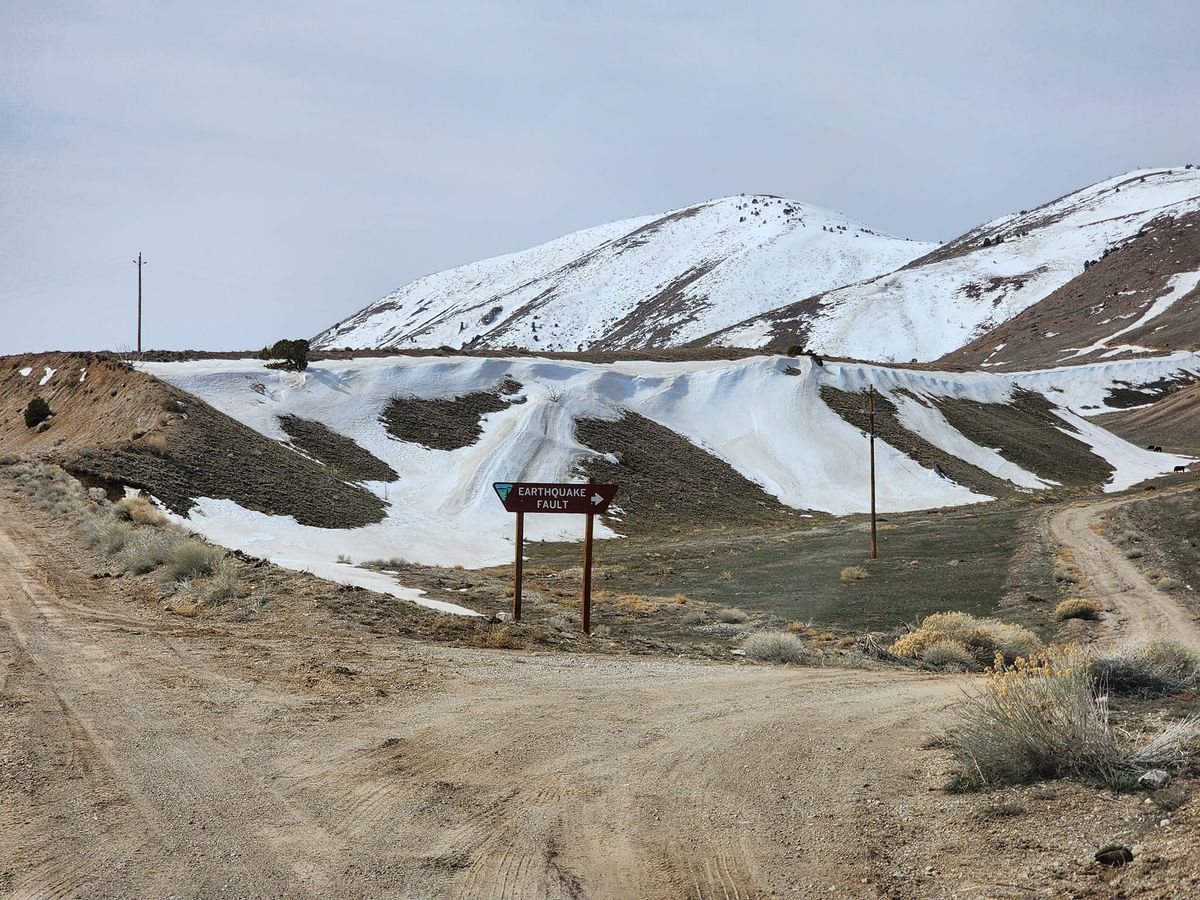
Some of the fault scarps left by the Fairview Peak event can be viewed off an access road on the east side of the peak, which turns south off US-50 1.8 miles east of State Route 121 (the Dixie Valley highway). It is signed "Fairview Peak Earthquake Faults." Although a graded road, it is steep and can be rough, so that high clearance is desirable. About five miles in, there is a turnoff to a viewing area on the right (west). The viewing area is about 0.6 miles in and, as of April 2023, high clearance is necessary.

Another turnoff to a viewing area is about 0.8 miles farther on the main access road. Here the parking area is about 0.7 miles off the main road.

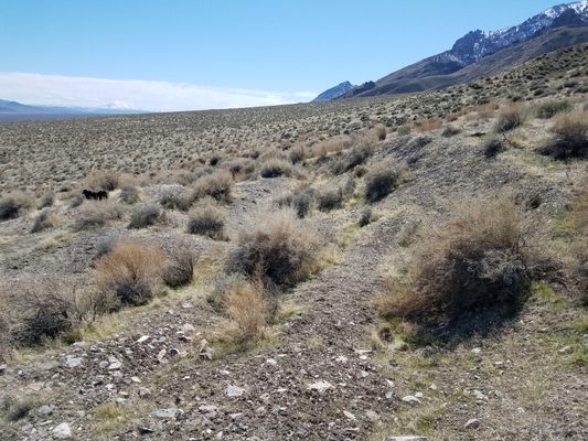
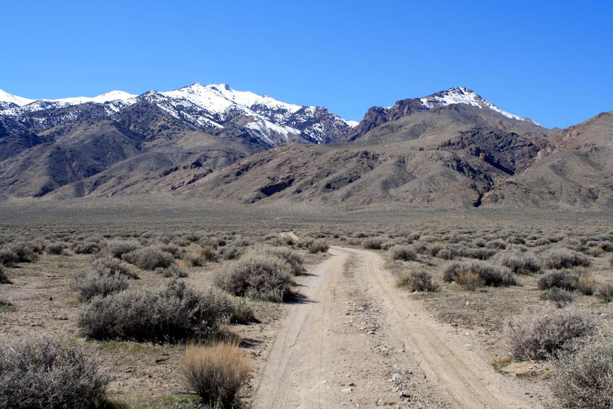
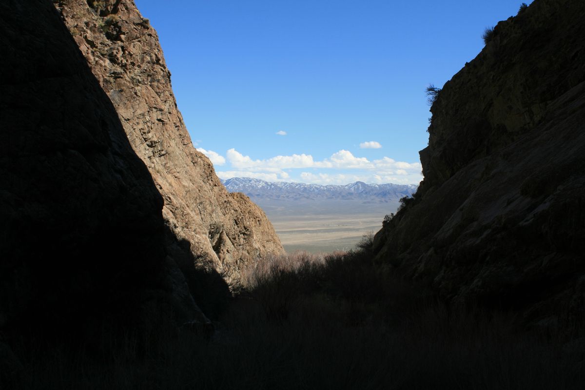
The Dixie Valley scarps are harder to reach. They run along the west side of the valley at the base of the Stillwater Range, while the main access road, the Dixie Valley Highway (SR 121), runs out in the middle of the valley. Formerly SR 121 was paved as far as the old townsite of Dixie Valley, but it has recently been "de-paved" as a cost-saving measure. The scarps can be reached by a number of primitive roads, but a high-clearance, preferably 4wd vehicle will be required. For distance viewing, the scarps are best viewed in the late afternoon, because the shadow they cast then highlights them.

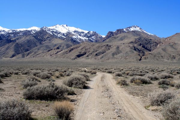
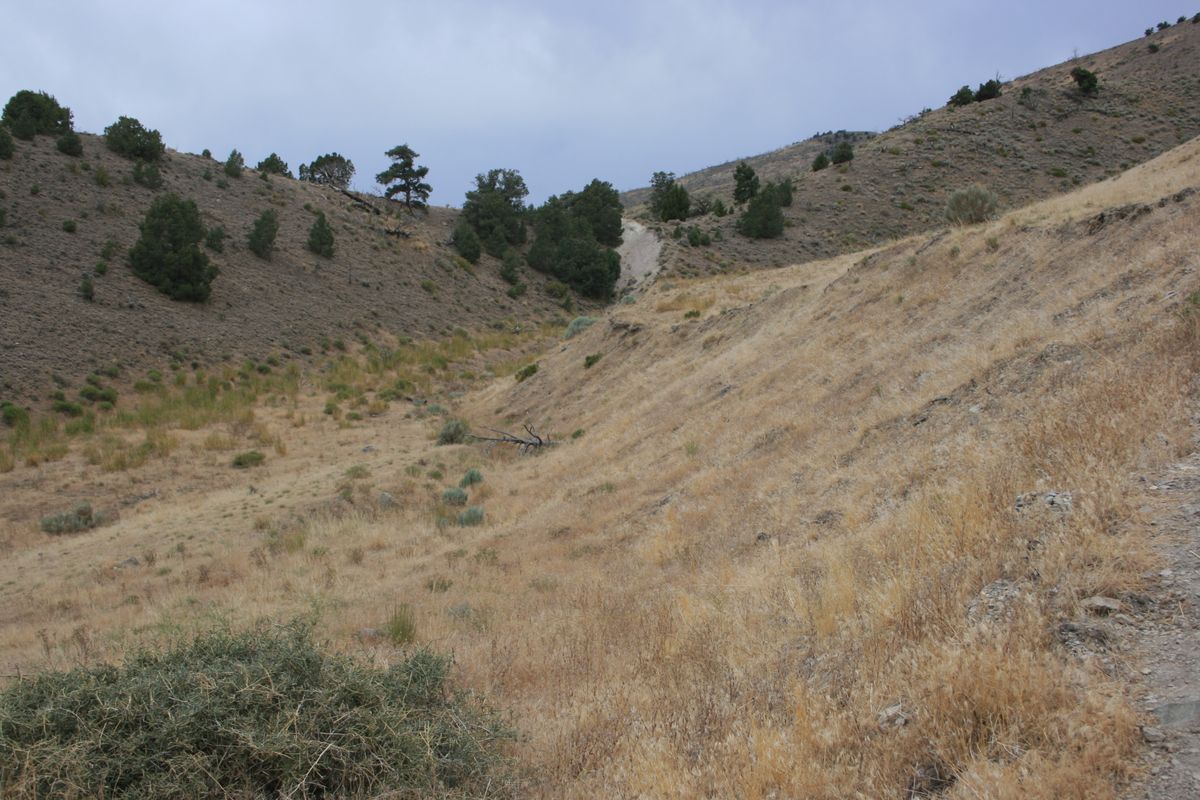
To reach Big Box Canyon, the most spectacular of the wineglass canyons, proceed 23 miles north on SR 121 from the intersection with US 50, and turn left on a dirt track at 39.617250 N, 118.153126 W. (This turnoff will probably be unmarked.)   It's about 1.5 miles to parking at the canyon mouth, overall diagonally to the southwest. The trail first goes west, and then bends south to more-or-less parallel the range front. The parking and turnaround area is within the trough below the western scarp.   Location here is 39.611000 N, 118.179920 W.

Some additional primitive access roads are as follows. A road goes to the left 1.3 miles farther north on SR-121, opposite Cattle Road (39.636098 N, 118.151808 W). It goes to Mud Springs and Willow Canyon. Some 2.6 miles farther north, nearly opposite Settlement Road, is a turnoff to East Job Canyon (39.673765 N, 118.143311 W), from which you can then parallel the range front north to IXL canyon, more or less alongside the scarp.

Community Contributors

Added By

slgwv

Edited By

cl94

  • cl94

Published

December 28, 2021

Edit this listing

Make an Edit
Add Photos
Sources
  • Wallace, Robert E. Patterns and timing of Late Quaternary faulting in the Great Basin Province and relation to some regional tectonic features, Journal of Geophysical Research, vol. 89, p. 5763-5769, 1984.
Fairview Peak-Dixie Valley Fault Scarps
38011-37897 US-50
Fallon, Nevada, 89406
United States
39.286949, -118.130148
Get Directions

Nearby Places

Middlegate Station

Fallon, Nevada

miles away

The Shoe Tree of Middlegate

Fallon, Nevada

miles away

Project Shoal Site

Fallon, Nevada

miles away

Explore the Destination Guide

Photo of Fallon

Fallon

Nevada

Places 10

Nearby Places

Middlegate Station

Fallon, Nevada

miles away

The Shoe Tree of Middlegate

Fallon, Nevada

miles away

Project Shoal Site

Fallon, Nevada

miles away

Explore the Destination Guide

Photo of Fallon

Fallon

Nevada

Places 10

Related Places

  • The winding curves of Ybykty Canyon.

    Koyulus, Kazakhstan

    Ybykty Canyon

    This small canyon is home to a treasure trove of geological oddities.

  • Palisades Sill

    Eagle Nest, New Mexico

    Palisades Sill

    Spectacular 300-foot cliffs in a lush mountain canyon.

  • Colorful sandstone cliff just west of the Colorock Quarry.

    Moapa Valley, Nevada

    Buffington Pockets

    The rocks exposed at Valley of Fire State Park also occur in a much less known but equally spectacular area a few miles to the southwest.

  • Joffre Gorge

    Karijini, Australia

    Joffre Gorge

    This natural amphitheatre has been carved over millennia into the layered sedimentary rock of Karijini National Park.

  • Eggshell Arch

    Tonalea, Arizona

    Eggshell Arch

    At certain times in the fall and winter, the sunlight makes this natural sandstone arch glow.

  • In the Narrows.

    Nevada

    Anniversary Narrows

    A spectacular slot canyon at the northern edge of Lake Mead National Recreation Area.

  • Gorge inside the Lost Canyon

    Wisconsin Dells, Wisconsin

    Lost Canyon

    This steep-walled ravine contains animal-shaped formations made from sandstone.

  • Soteska Pekel

    Borovnica, Slovenia

    Soteska Pekel (Hell Gorge)

    Apparently, Hell has waterfalls in Slovenia.

Aerial image of Vietnam, displaying the picturesque rice terraces, characterized by their layered, verdant fields.
Atlas Obscura Membership

Become an Atlas Obscura Member


Join our community of curious explorers.

Become a Member

Get Our Email Newsletter

Follow Us

Facebook YouTube TikTok Instagram Pinterest RSS Feed

Get the app

Download the App
Download on the Apple App Store Get it on Google Play
  • All Places
  • Latest Places
  • Most Popular
  • Places to Eat
  • Random
  • Nearby
  • Add a Place
  • Stories
  • Food & Drink
  • Itineraries
  • Lists
  • Video
  • Podcast
  • Newsletters
  • All Trips
  • Family Trip
  • Food & Drink
  • History & Culture
  • Wildlife & Nature
  • FAQ
  • Membership
  • Feedback & Ideas
  • Community Guidelines
  • Product Blog
  • Unique Gifts
  • Work With Us
  • About
  • FAQ
  • Advertise With Us
  • Advertising Guidelines
  • Privacy Policy
  • Cookie Policy
  • Terms of Use
Atlas Obscura

© 2025 Atlas Obscura. All Rights Reserved.