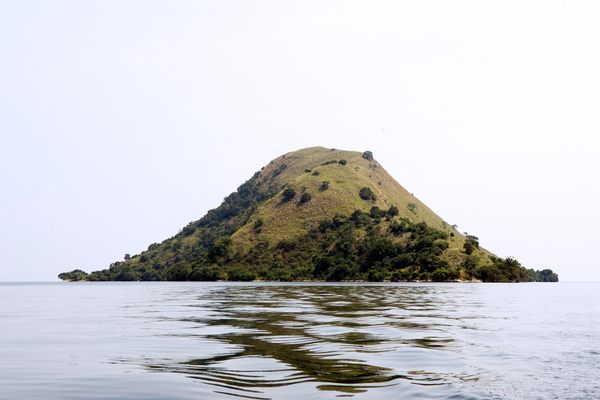


About
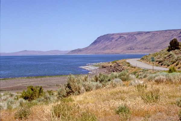
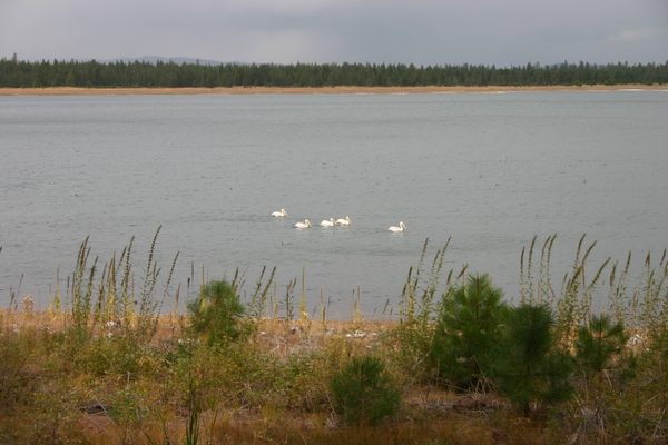
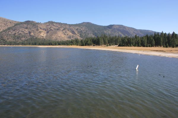
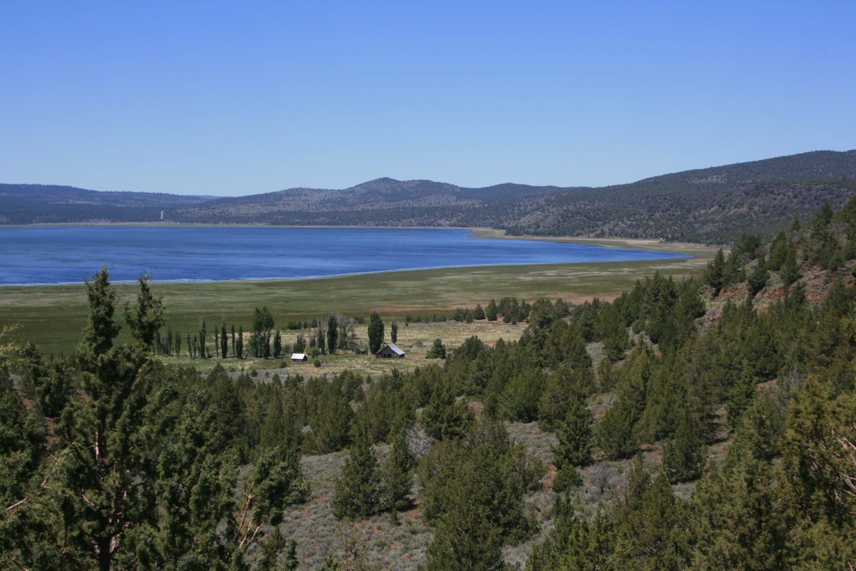
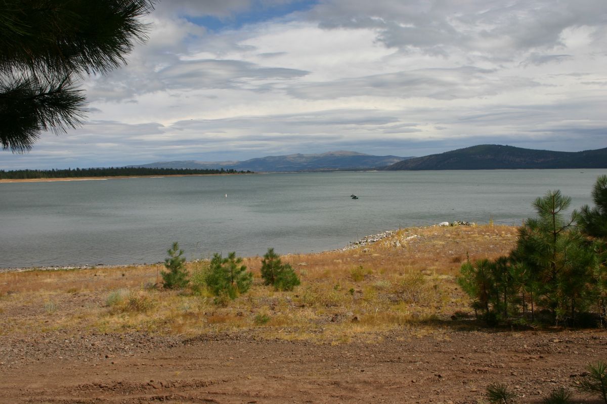
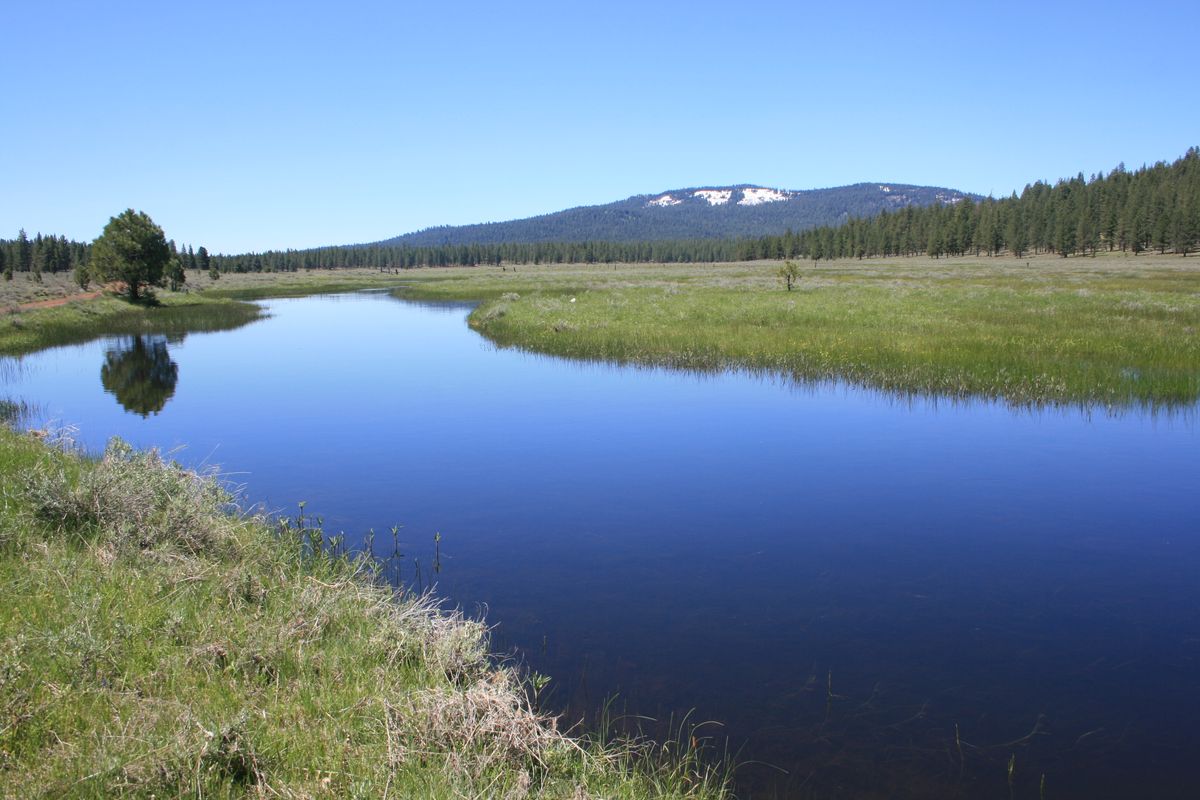
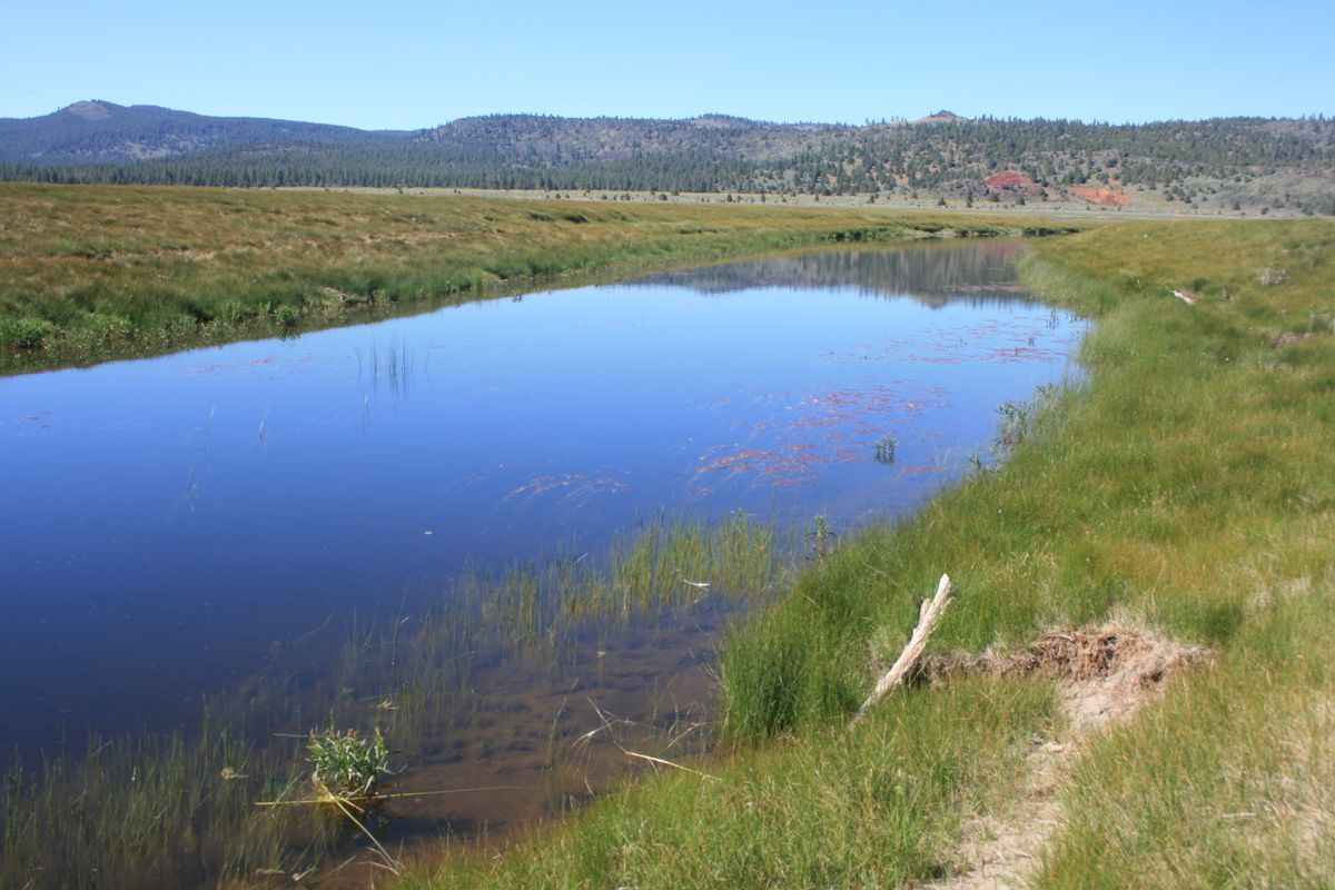
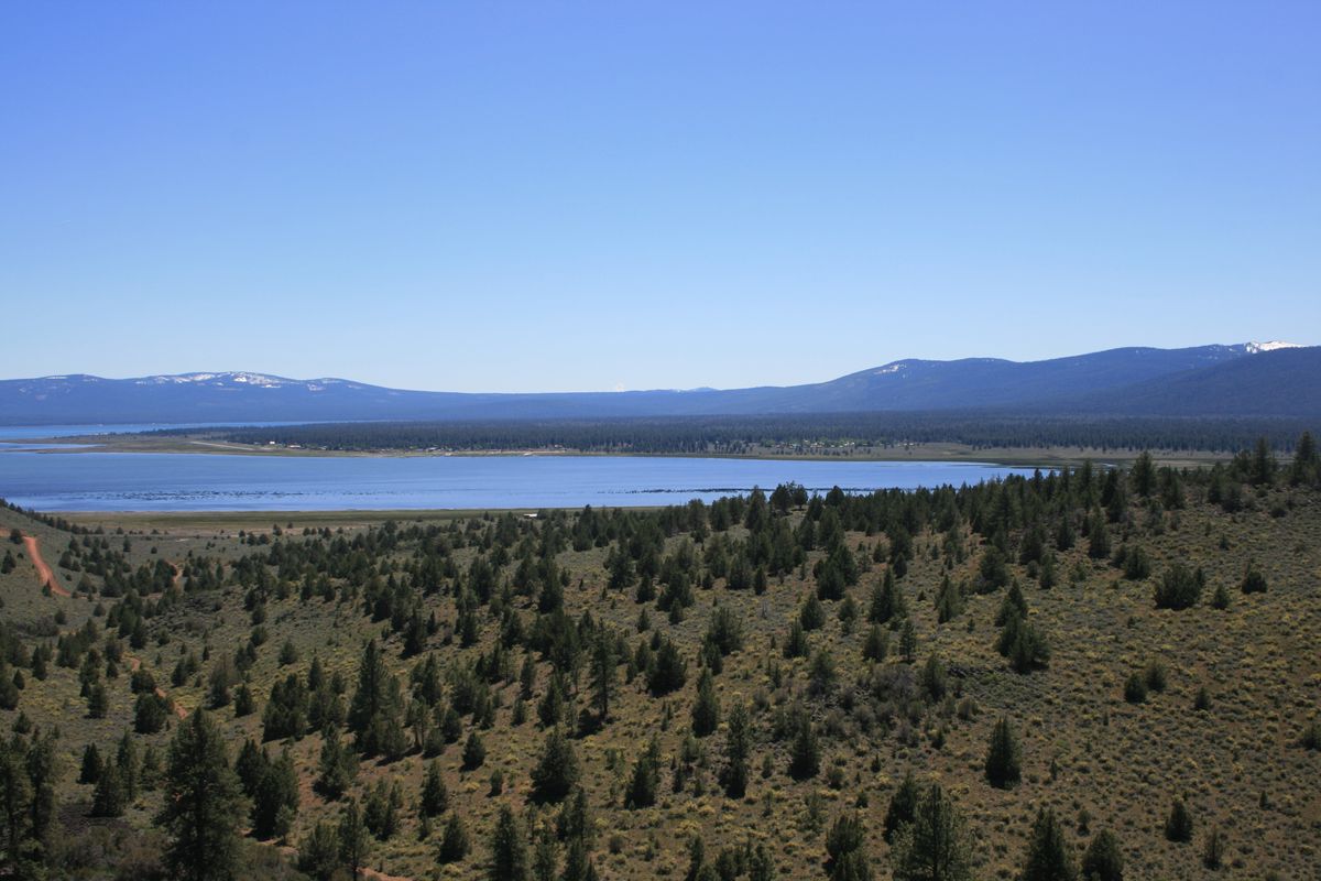
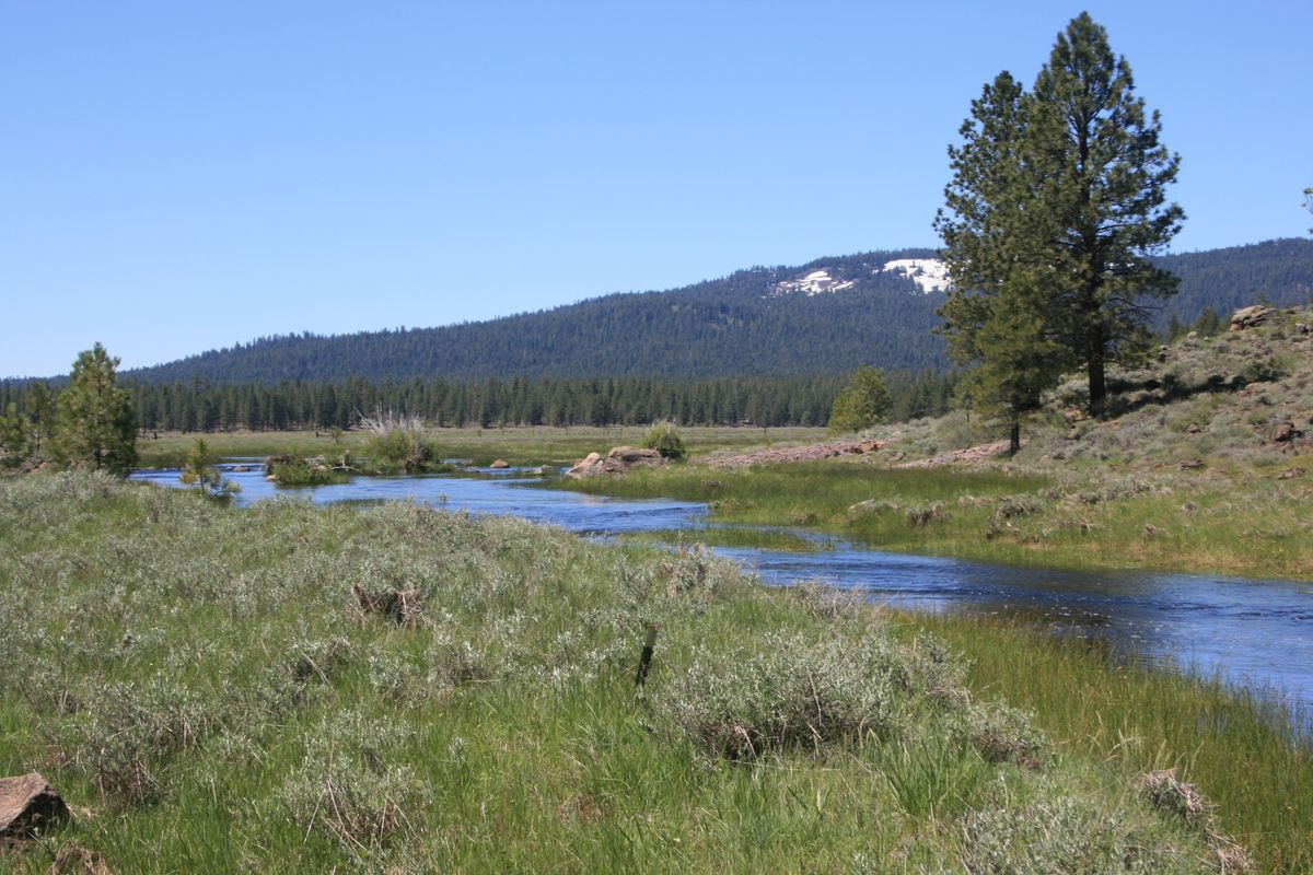
Eagle Lake lies in a natural basin largely bounded by volcanic rocks. It is fed mainly by Pine Creek, which flows from the higher country near Lassen Peak to the west. The lake's alkaline water (pH 8+) is home to the Eagle Lake trout, a subspecies of rainbow trout found nowhere else, that is a prized sport fish.
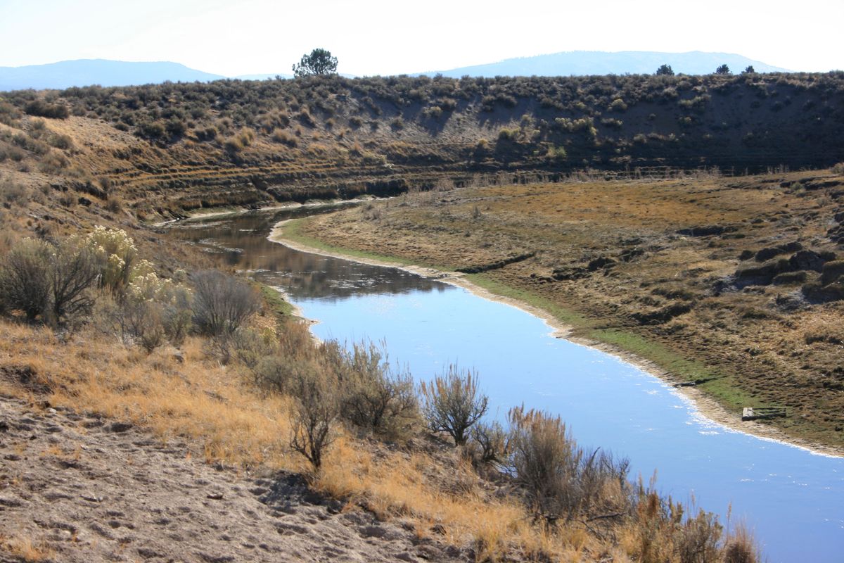
The trout once spawned in Pine Creek, but the population is now maintained by a hatchery, as Pine Creek now is dry for much of the year due to the effects of deforestation and grazing. On the positive side, the alkaline waters have prevented non-native fish populations from becoming established in the lake, despite early 20th century attempts at introduction.
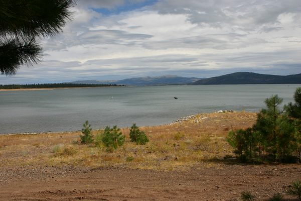
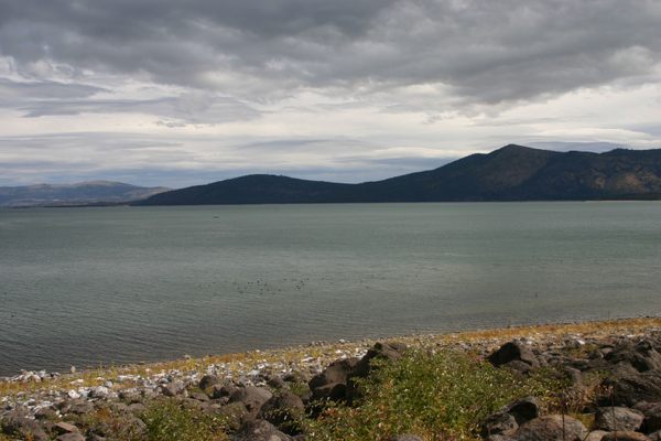
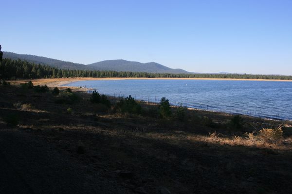
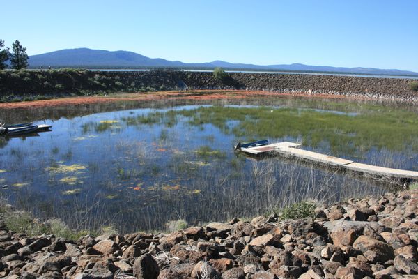
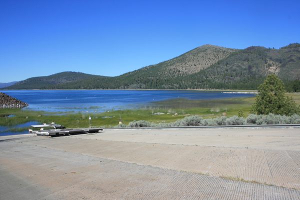
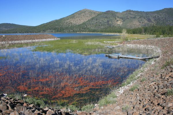
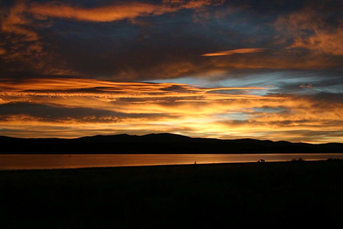
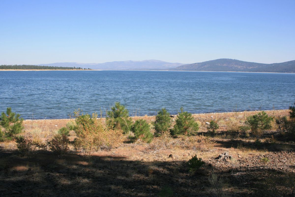
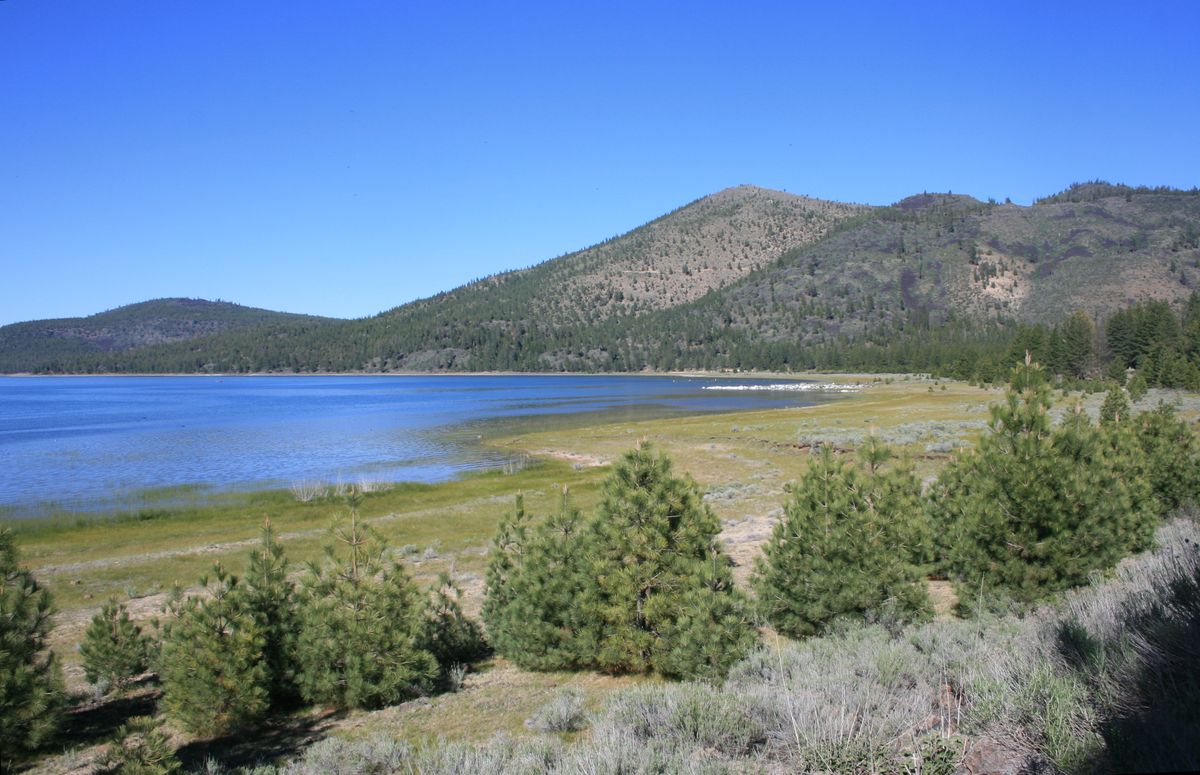
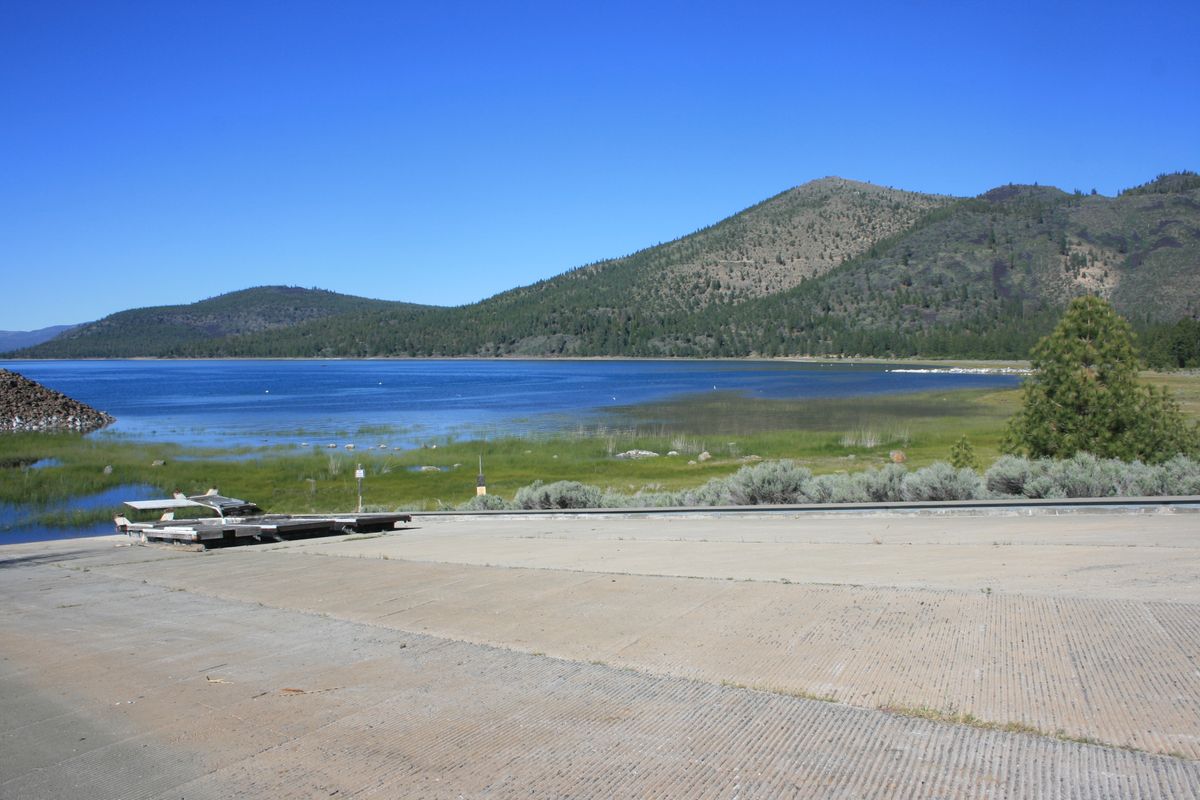
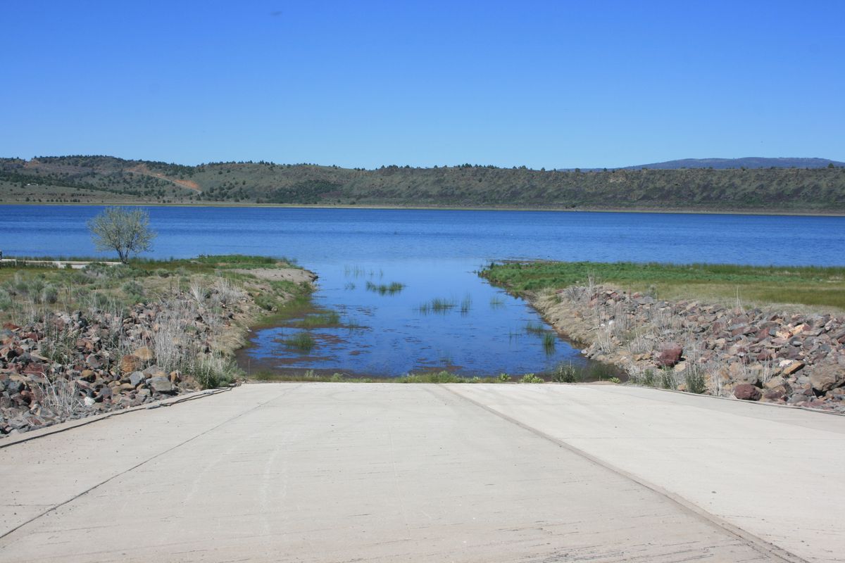
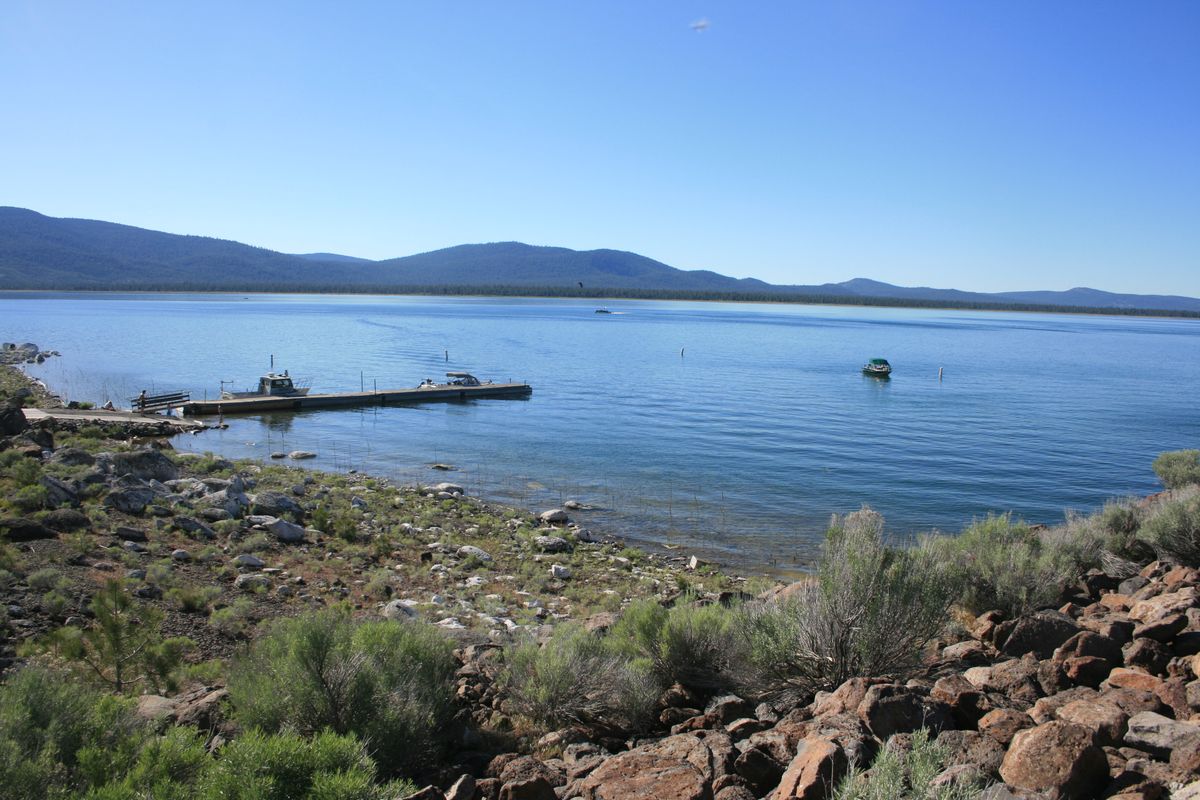
Historically, the level of Eagle Lake has varied widely depending on the season-to-season variation in the snowpack feeding Pine Creek. In recent years particularly, the ongoing droughts in California have led the levels to drop even further such that some facilities like launch ramps and marinas are no longer usable.
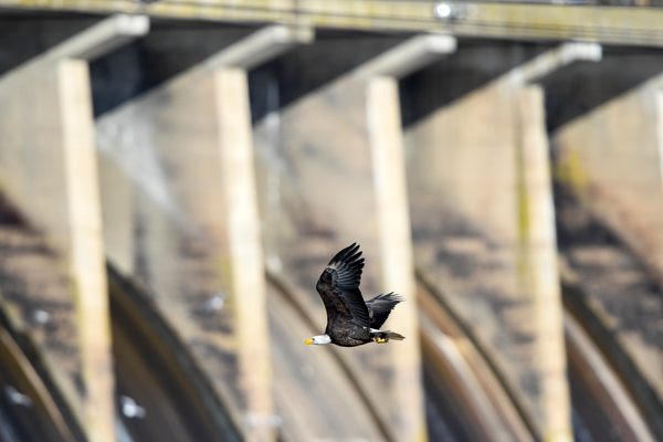
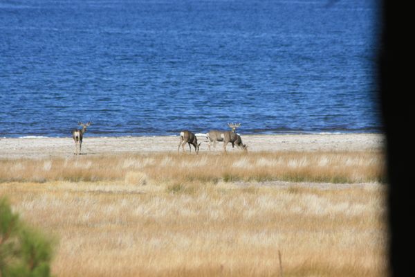
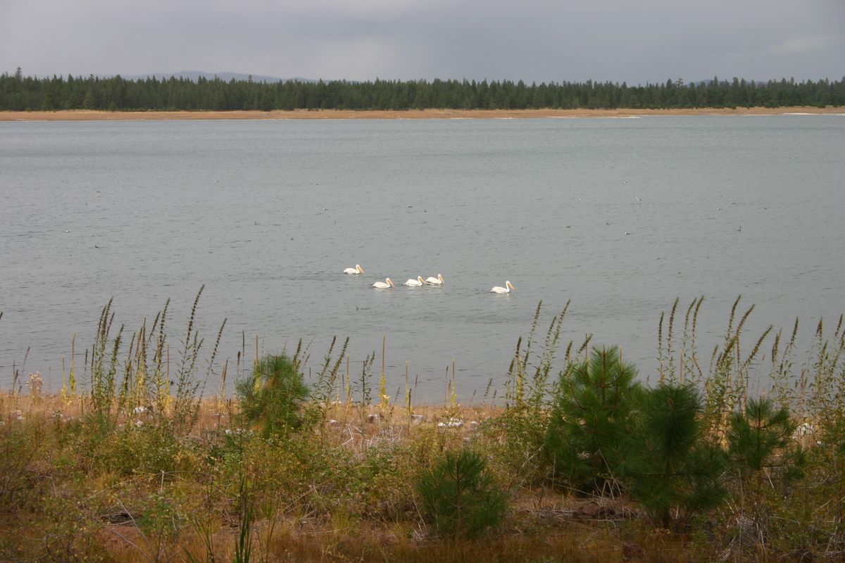
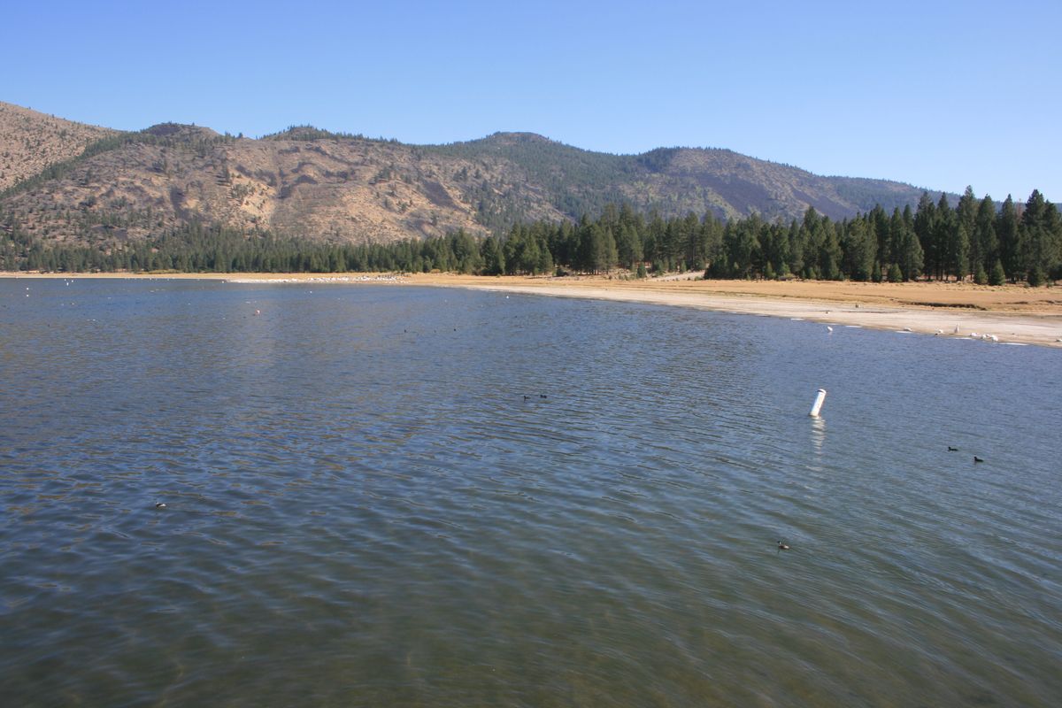
Eagle Lake is also a noted birding area, with one of the last colonies of nesting osprey in the western US and the largest colony of western and eared grebes. Bald eagles, from which the lake gets its name, are also seen.
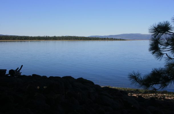
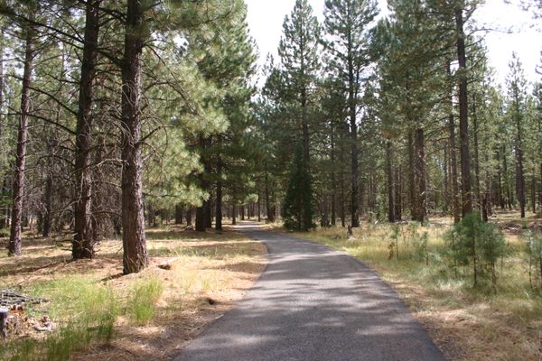
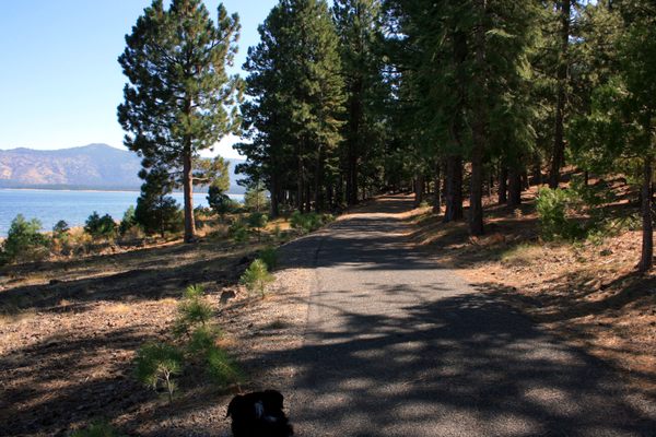
At the forested south end of the lake, the paved Eagle Lake Recreation Trail runs for some 4.7 miles between Christie Campground on the southwest to Gallatin Beach and Aspen Grove Campground on the southeast. A branch trail also runs to the Pikes Point marina. The trail is open to bicycles but not to motorized traffic. With its wide smooth surface, gentle to nonexistent grades, and forested setting it's a mellow ride for anyone, but it's an especially good place for children learning to ride a bicycle.
Related Tags
Know Before You Go
A paved road, the Eagle Lake Road (Lassen County A1) runs along the west side of the lake. It intersects California State Route 139 about 31 miles north of Susanville.
At the south it intersects California SR 36 about 3 miles west of Susanville, but from this intersection it's about 14 miles to the south shore of the lake. This route is also twistier and slower because it crosses the mountains to the south of the lake.
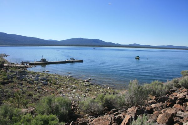
The public lands are divided between the Bureau of Land Management (mostly on the north) and US Forest Service (on the south). There are several campgrounds by the lake and many opportunities for primitive camping. The village of Spaulding, on the northwest side, has groceries, gas, and some lodging, short-term house rentals in particular. Because of the low water levels in recent years, make local inquiry about the status of launch ramps and similar facilities.
Published
March 31, 2022