


About
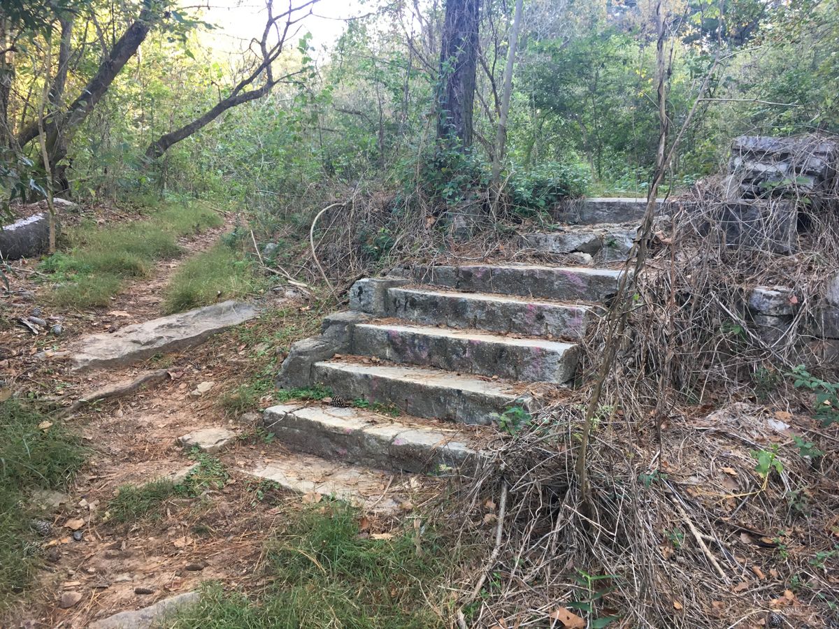
The Decatur Waterworks was originally built in 1907 and supplied water to the city of Decatur until the 1940s, but had been utilized as a public park since the 1930s, when many amenities like benches, grills, and a stone bridge that crosses over Burnt Fork Creek were added. This same bridge is now part of the trail that connects Medlock Park and Mason Mill Park.
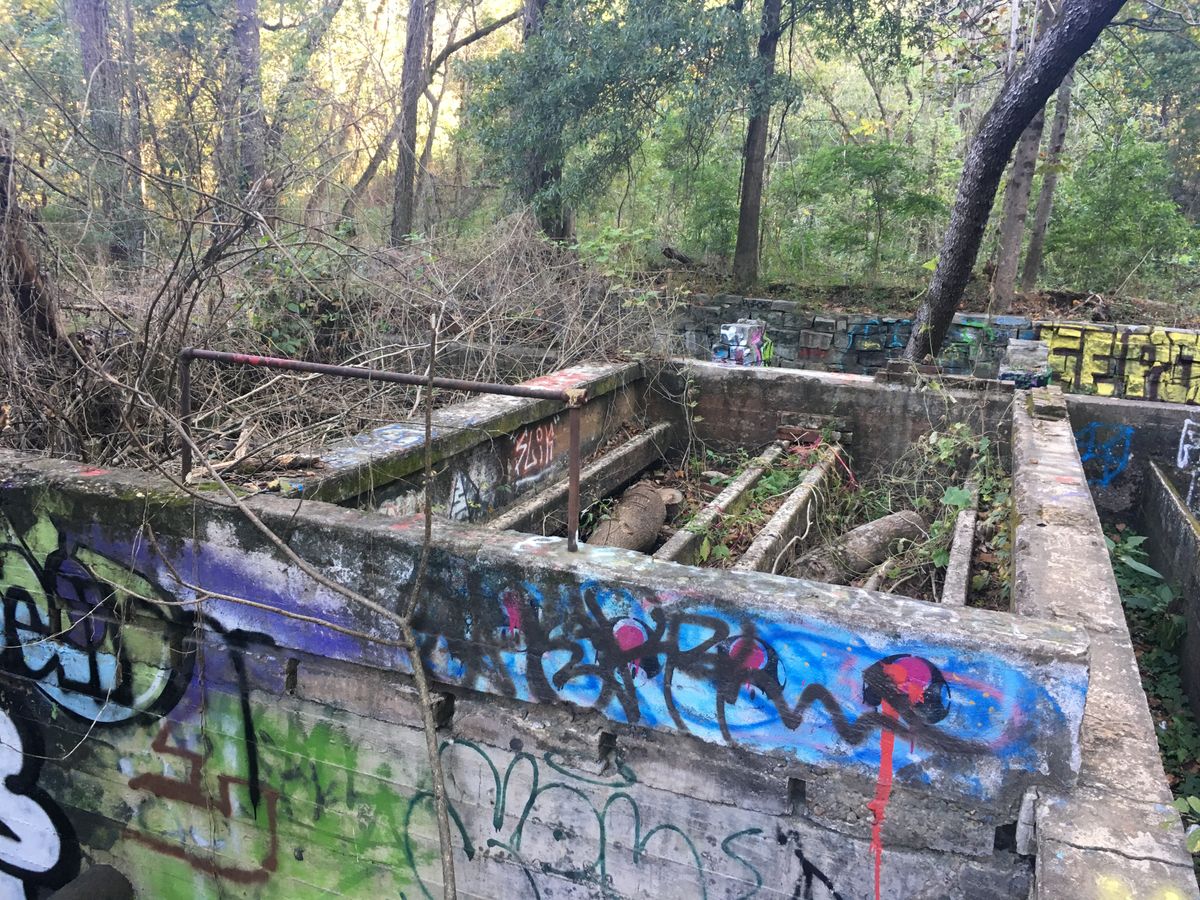
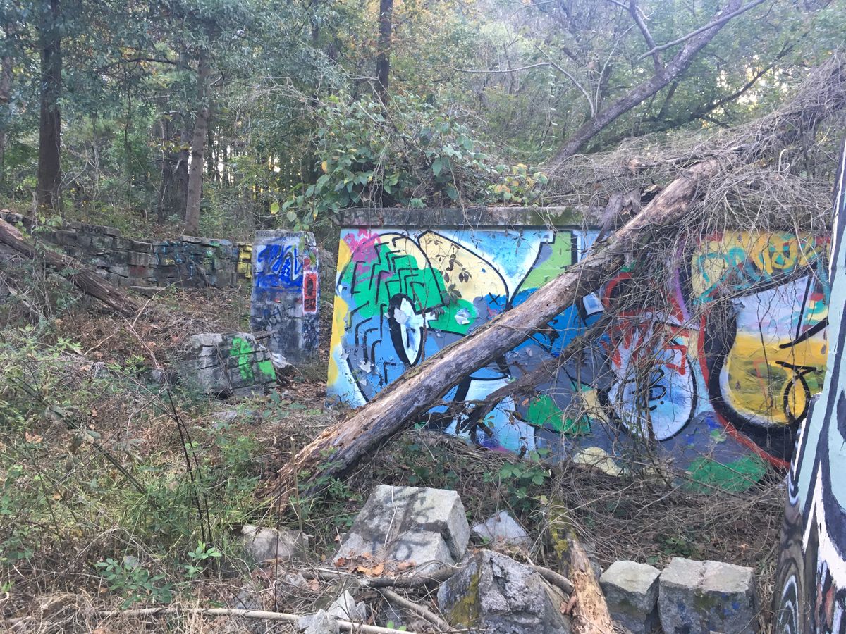
By 1939, the waterworks contained two storage tanks, an office building, two aeration and solid removal tanks, and two dams, one on Burnt Fork Creek and the other on South Peachtree Creek. By 1941 the city had outgrown the water capacity of the waterworks, so the property was leased out to Dekalb County. Dekalb continued to operate the facility and sold water to Decatur. Using the revenue from this venture, they funded a county-wide water treatment plant in Dunwoody, which is currently called the Scott Candler Plant.
The waterworks supplied the Naval Air Station (now Peachtree Dekalb Airport) during World War II. During this time absolutely no recreational use was allowed. When the war ended the waterworks was given back to the city of Decatur and acted as a backup for their new system. While the waterworks were in use, the park was not being maintained or publicly used.
By the early 1950s, the waterworks fell into a state of disrepair due to lack of use. Residents of nearby neighborhoods in the mid-1960s complained of flooding, and in response both dams were broken and the reservoirs were destroyed.
The Decatur Waterworks was declared a historic site in 2006 and shortly after this, the construction of a trail began in 2008. This trail has received funding from the PATH Foundation and has since been completed.
Related Tags
Know Before You Go
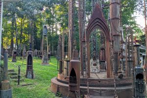
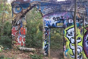
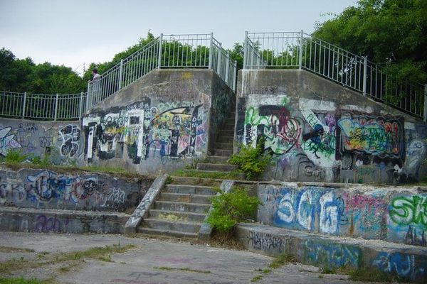
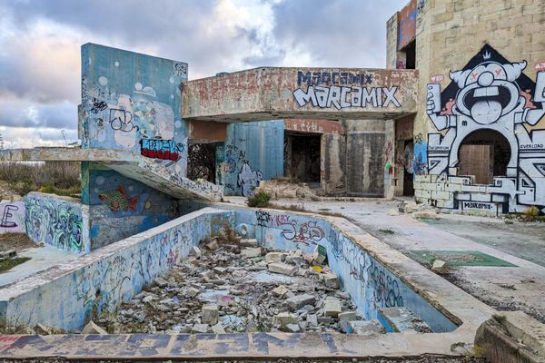
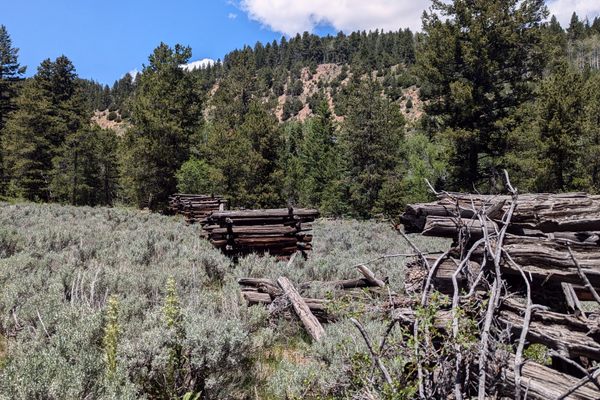
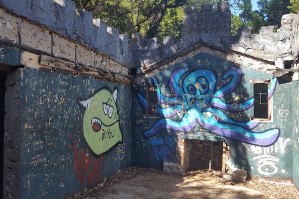
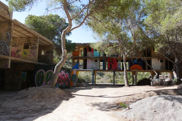
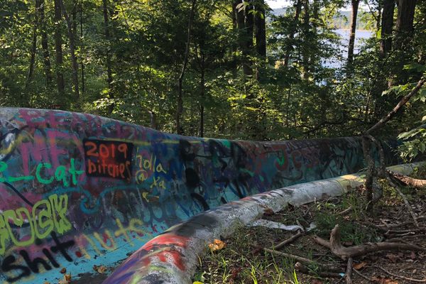
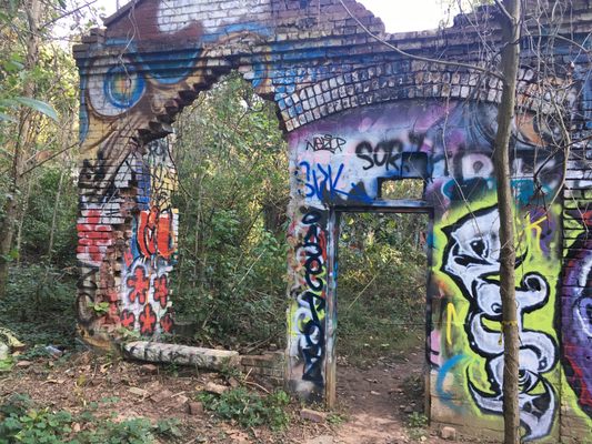
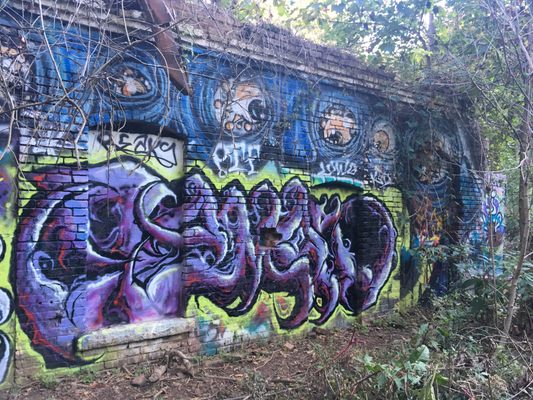
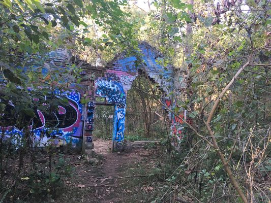
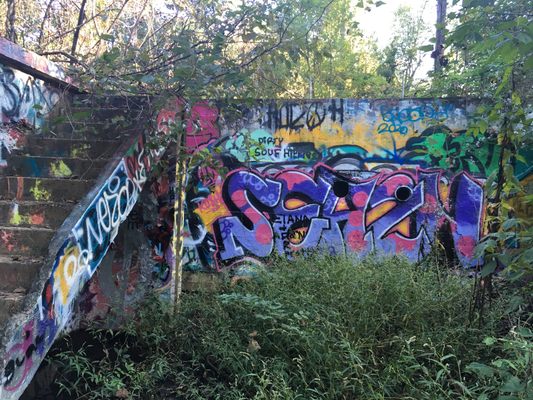
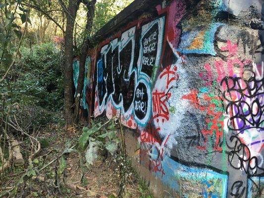
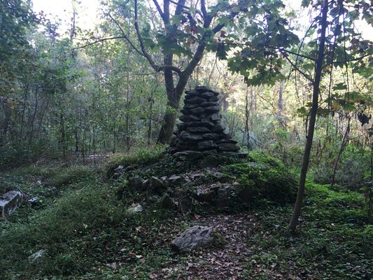
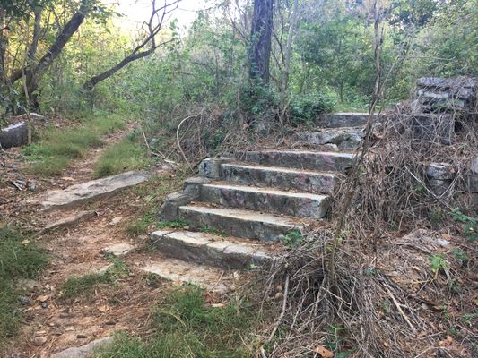
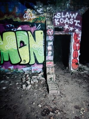
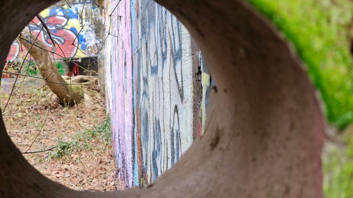
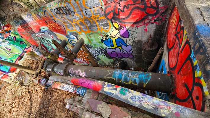
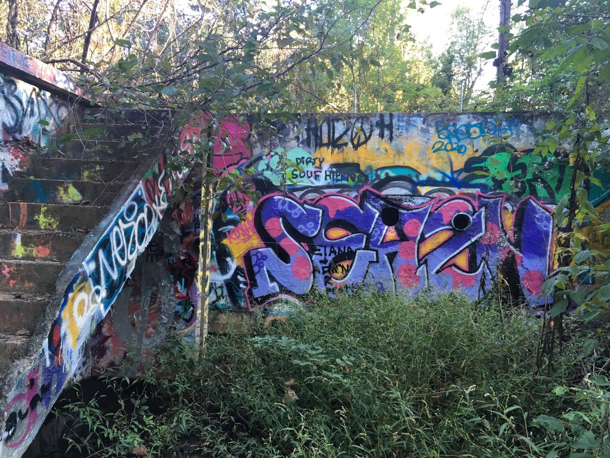
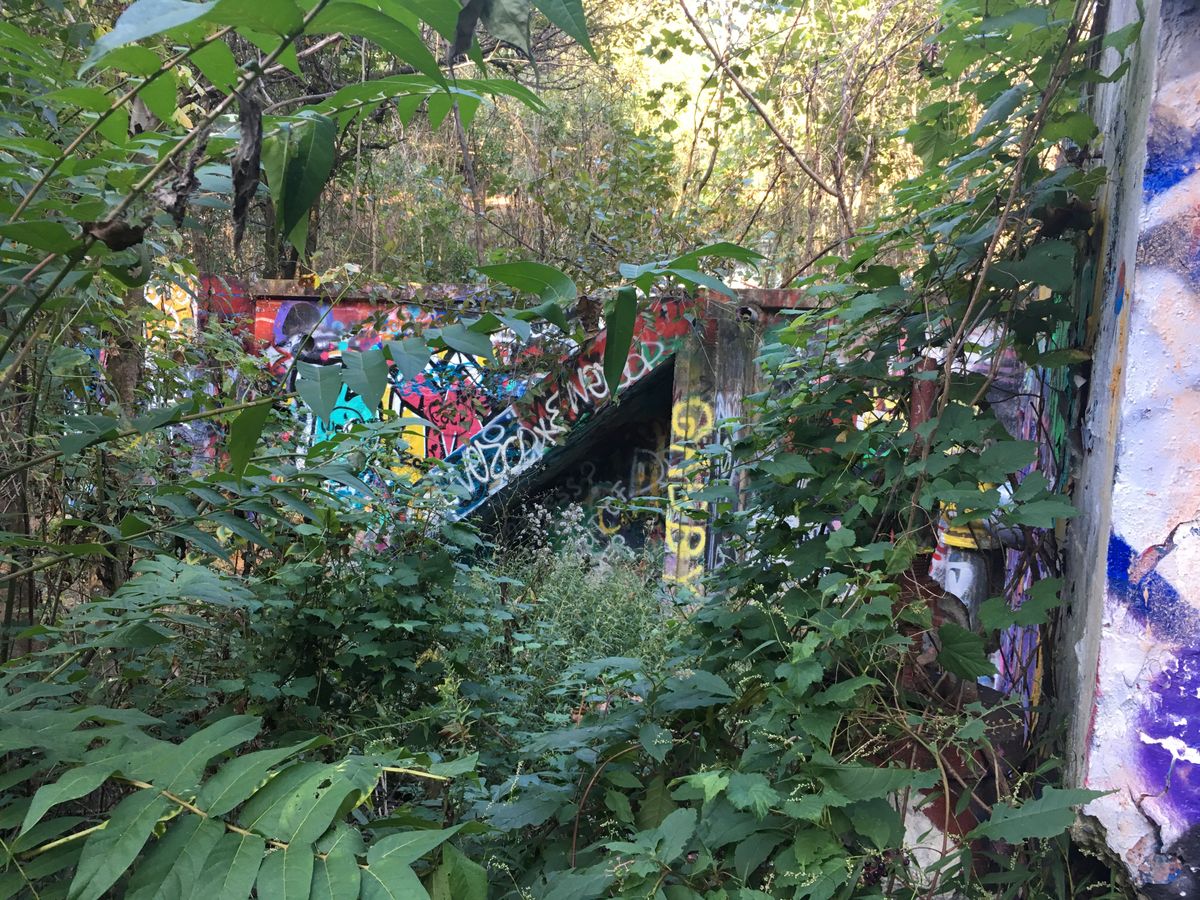
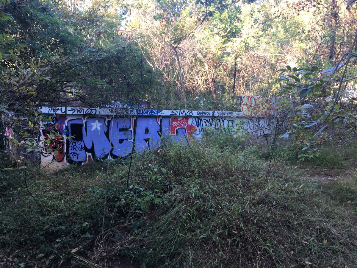
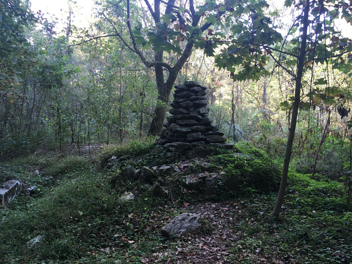
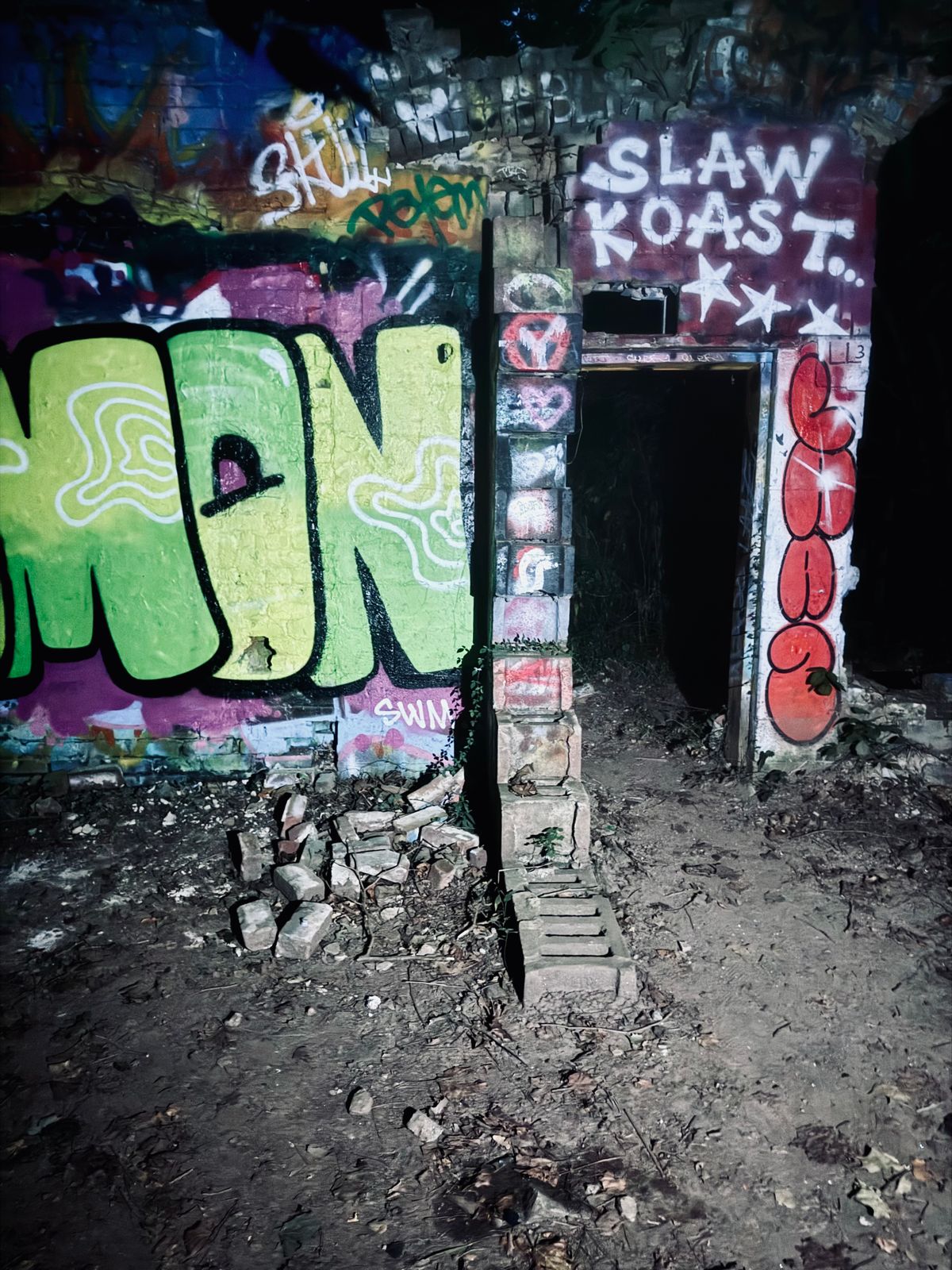
The ruins can be easily accessed by going down one of the three trails beginning at Mason Mill Park. Make sure you take the concrete trail with a bridge over the train tracks. It begins next to the tennis court parking lot. You'll almost immediately see parts of the ruins once on the bridge. Depending on the time of year some parts of the old walls will be more or less visible. If you follow the trail next to the creek upstream you will find one of the old dams and other smaller building foundations. Graffiti changes fairly often and there are frequent land improvement projects. It's surrounded by a fairly popular bike and walking trail so I would recommend going in the morning on a weekday, if possible. Please avoid walking on the train tracks as they are still very active.
Community Contributors
Added By
Published
June 21, 2023
Sources
- https://en.wikipedia.org/wiki/Decatur_Waterworks
- http://gpsinformation.info/Jack/Medlock/WaterWorks.html
- http://www.medlockpark.org/2013/02/decatur-waterworks-then-and-now.html?m=1
- https://en.wikipedia.org/wiki/Decatur_Waterworks
- https://www.hikingproject.com/trail/7088000/decatur-water-works-ruins
- http://gpsinformation.info/Jack/Medlock/WaterWorks.html