A Massive Sinkhole in New Zealand Exposed Traces of an Ancient Volcano
The canyon’s walls tell the story of long-ego eruptions.

One morning last week, when dairy farm workers in Rotoura, New Zealand, made their early-morning lap to check in on the cows, they saw something much more startling than a lounging ruminant.
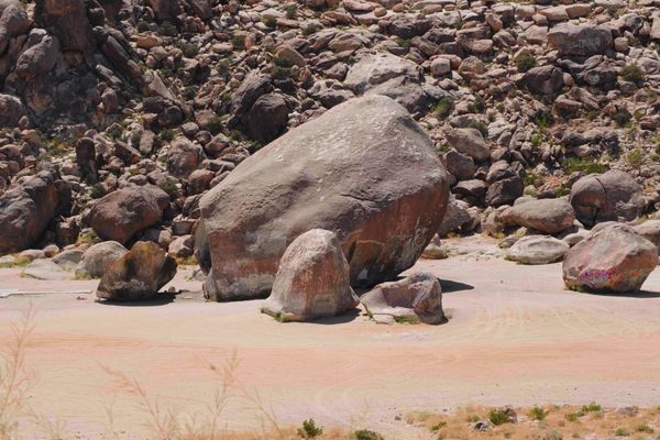
A jagged hole had opened up overnight. It cut a scar across the verdant landscape, dropping 66 feet deep and yawning 656 feet long. Anyone who stood at the edge of the grass and looked down into the crevice would be peering into thousands of years of geological history.
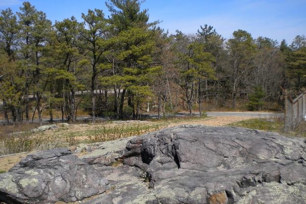
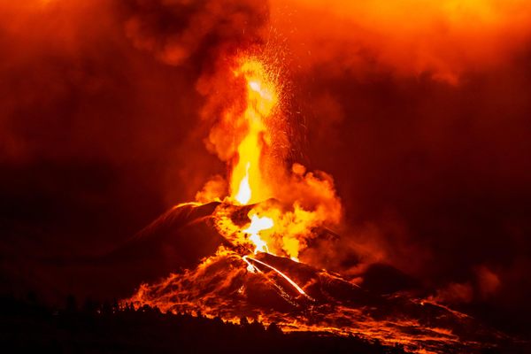
These types of collapse holes are common in the region, notes GeoNet, a project of New Zealand’s Earthquake Commission. The area sits near volcanic faults, and on the crater of a volcano that erupted some 60,000 years ago. Soft, pumice-strewn soils are one lingering consequence of this long-ago explosion. When rain pelts the area, as it did last week, it can burrow cavities into the soil. These may be subtle, at first; “many are discovered by tractors or fertilizer trucks driving across what appears to be solid ground,” according to GeoNet. But if enough water seeps in, these weak points can collapse in on themselves, forming canyons that double as time capsules.

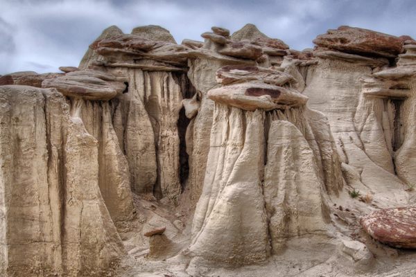
On their rocky walls, volcanologists can glimpse the history of those local eruptions. Layers of lake sediment are sandwiched between the ash and pumice that spewed from active volcanoes. Bradley Scott, a volcanologist with the geology organization GNS, told TVNZ that the debris at the bottom of the canyon dated to the long-ago eruption. While collapse holes, or “tomos,” aren’t uncommon in the area, he added, this one was bigger than most.
The farmer, Colin Tremain, isn’t planning to bother shoveling earth back on top of the fissure. “(I’ll) put a fence around it and forget about it,” he told Radio NZ. “Waste of time filling it in.” And as long as it does gape open, the rocky crevice offers a portal straight into the past.


Follow us on Twitter to get the latest on the world's hidden wonders.
Like us on Facebook to get the latest on the world's hidden wonders.
Follow us on Twitter Like us on Facebook