


About
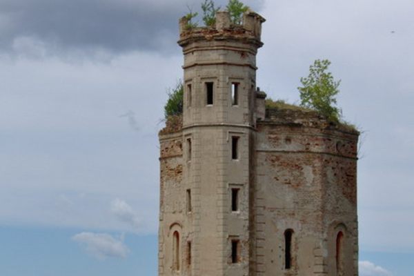
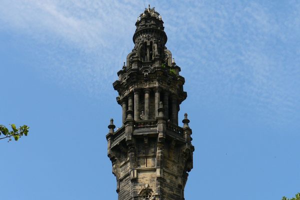
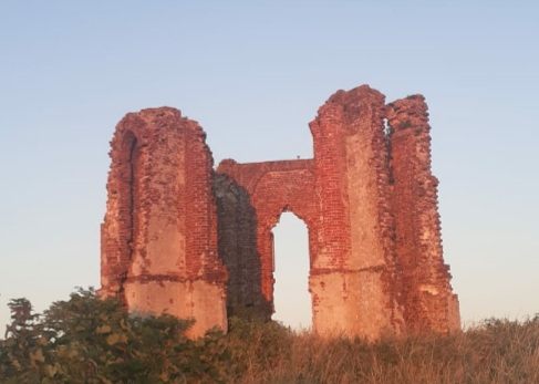
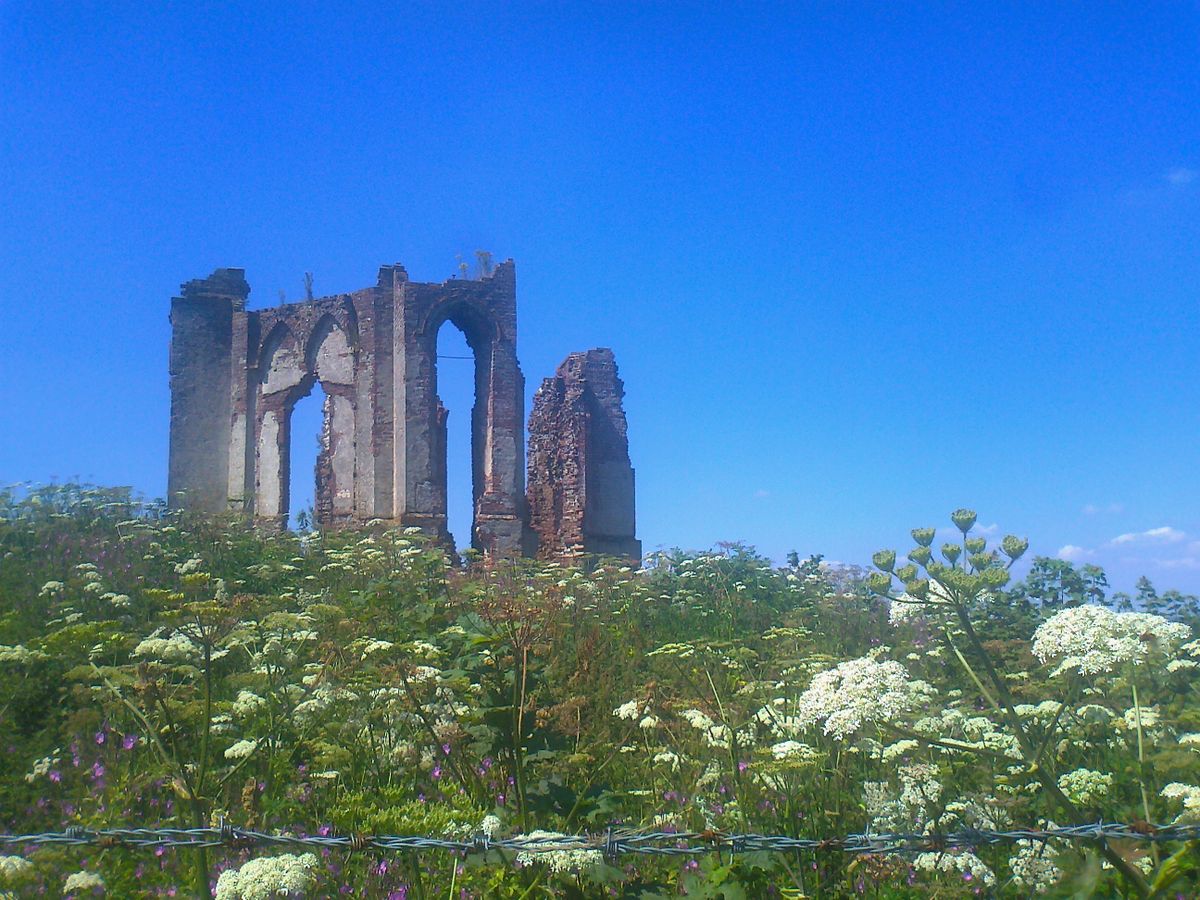
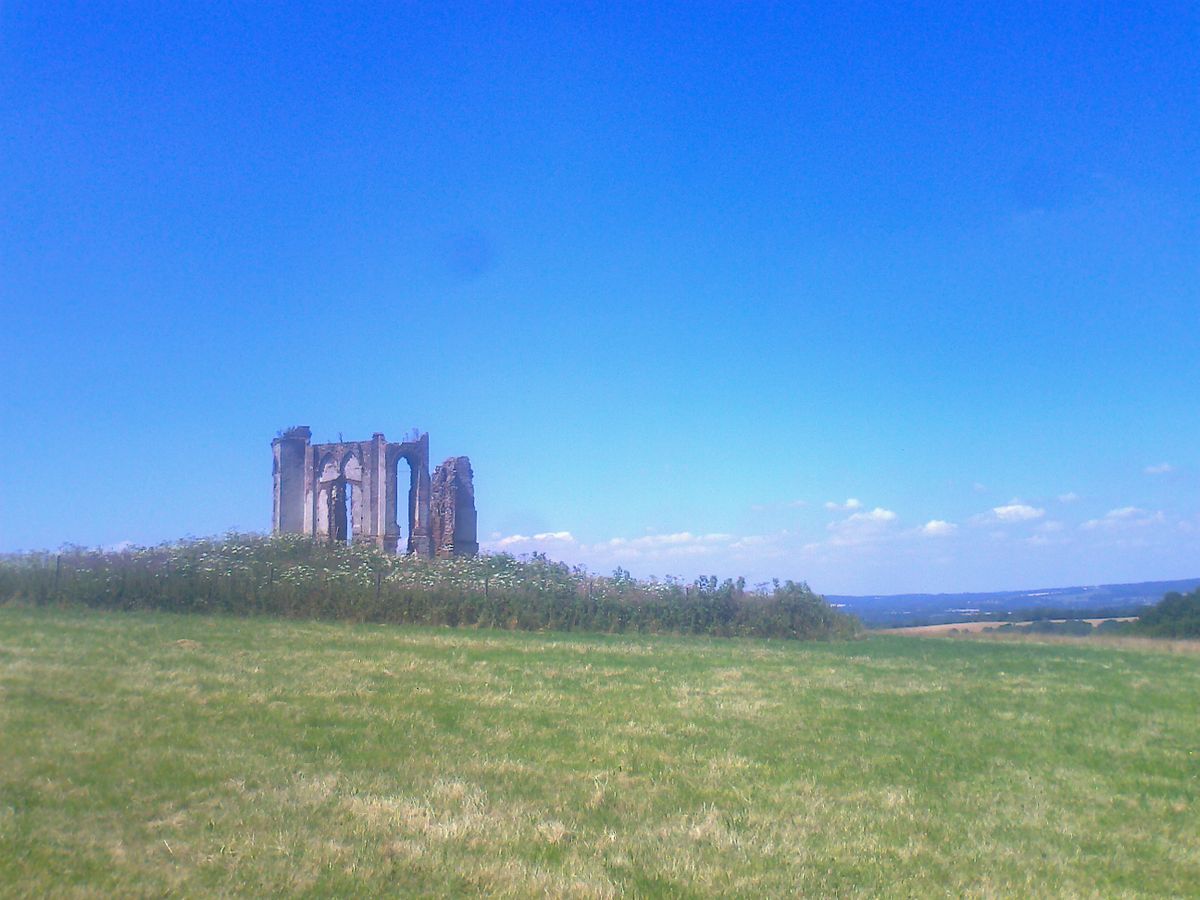
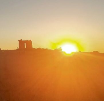
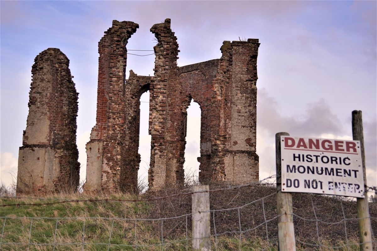
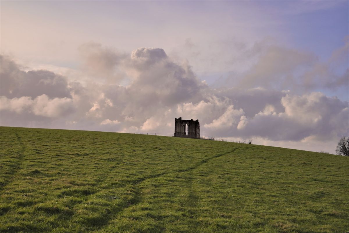
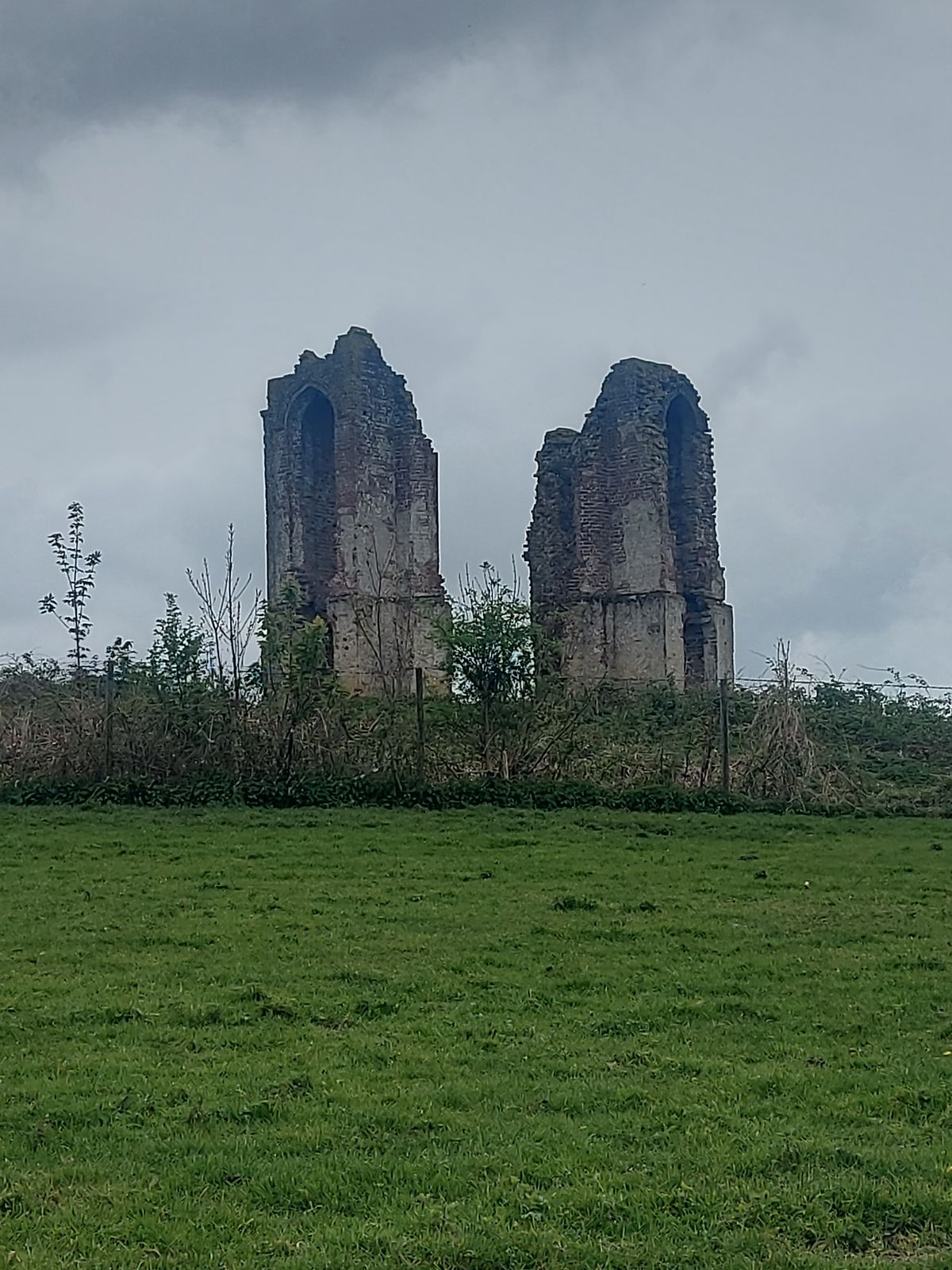
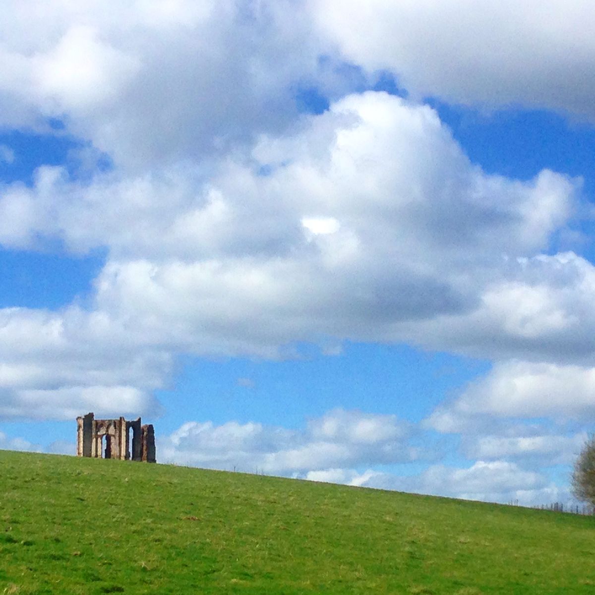
Just west of Harting Down is Tower Hill, upon which is the Vandalian Tower, a folly dating to the 18th century which was constructed to commemorate the British colony of Vandalia, which quickly disappeared under the spread of America.
The tower was originally built in 1774 to celebrate the founding of the American settlement of Vandalia, a proposed British colony that never grew beyond its initial founders. Due to the American War of Independence, the small colony was hung out to dry and while they proposed becoming a state by the name of "Westsylvania," the fresh American government scoffed at the idea and the territory was subsumed by the states now known as West Virginia and Kentucky.
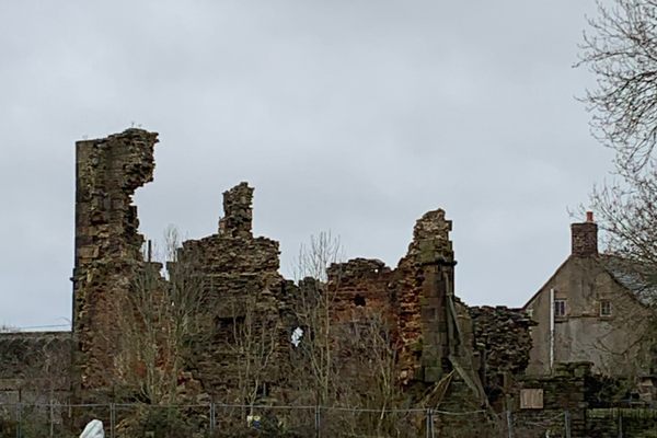
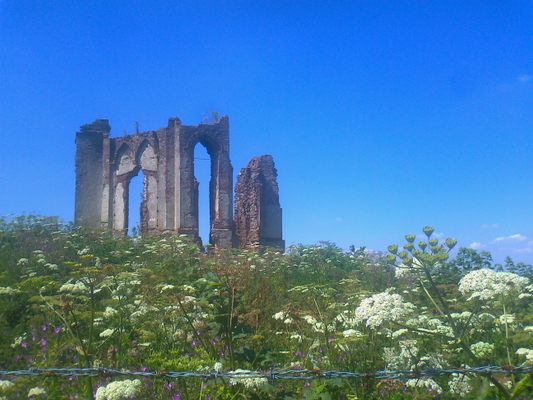
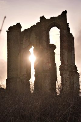
However before this colony was eaten by the fresh beast now known as the United States, back in Britain a stone tower was built to honor the fledgling settlement. Yet as one would expect, when the colony failed the tower was quickly abandoned, possibly out of embarrassment for their too quick self-congratulation.
In the late 1700s, while Emma Hamilton was living at Uppark House and was carrying on her "friendship" with Lord Nelson, she would frequently take her carriage up to the tower when Nelson was expected back from a voyage and using a telescope, watch for his ship arriving in the Solent. She spent so much time at the tower that locals dubbed it "Lady Hamilton's Folly," which is what it has been known as ever since.
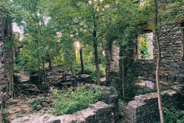
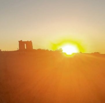
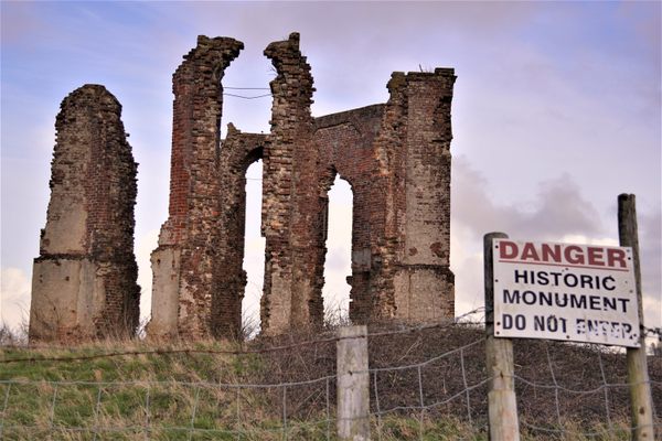
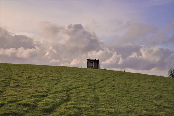
Today, the remains of the tower are still standing amidst an overgrown field in the parish of Harting. The ruins are behind a fence that protects them from further deterioration as well as embarrassment.
Related Tags
Know Before You Go
The ruins are found in the grounds of Uppark House which is owned by the National Trust. Heading to Harting Down which is south of the the village of South Harting, you take the left fork B2141 signed "Chichester" at the foot of the hill. You can park in the National Trust car park on the left at the top of the hill and cross the B2141 into the field opposite, where you are on the South Downs Way footpath. The ruins are clearly visible on top of the hill, and the South Downs Way runs right past them.
Community Contributors
Added By
Edited By
Published
July 30, 2013