


About
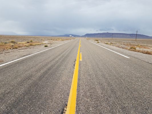
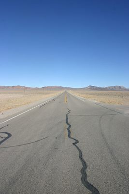
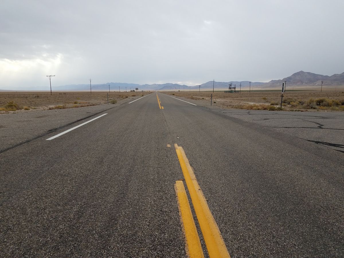
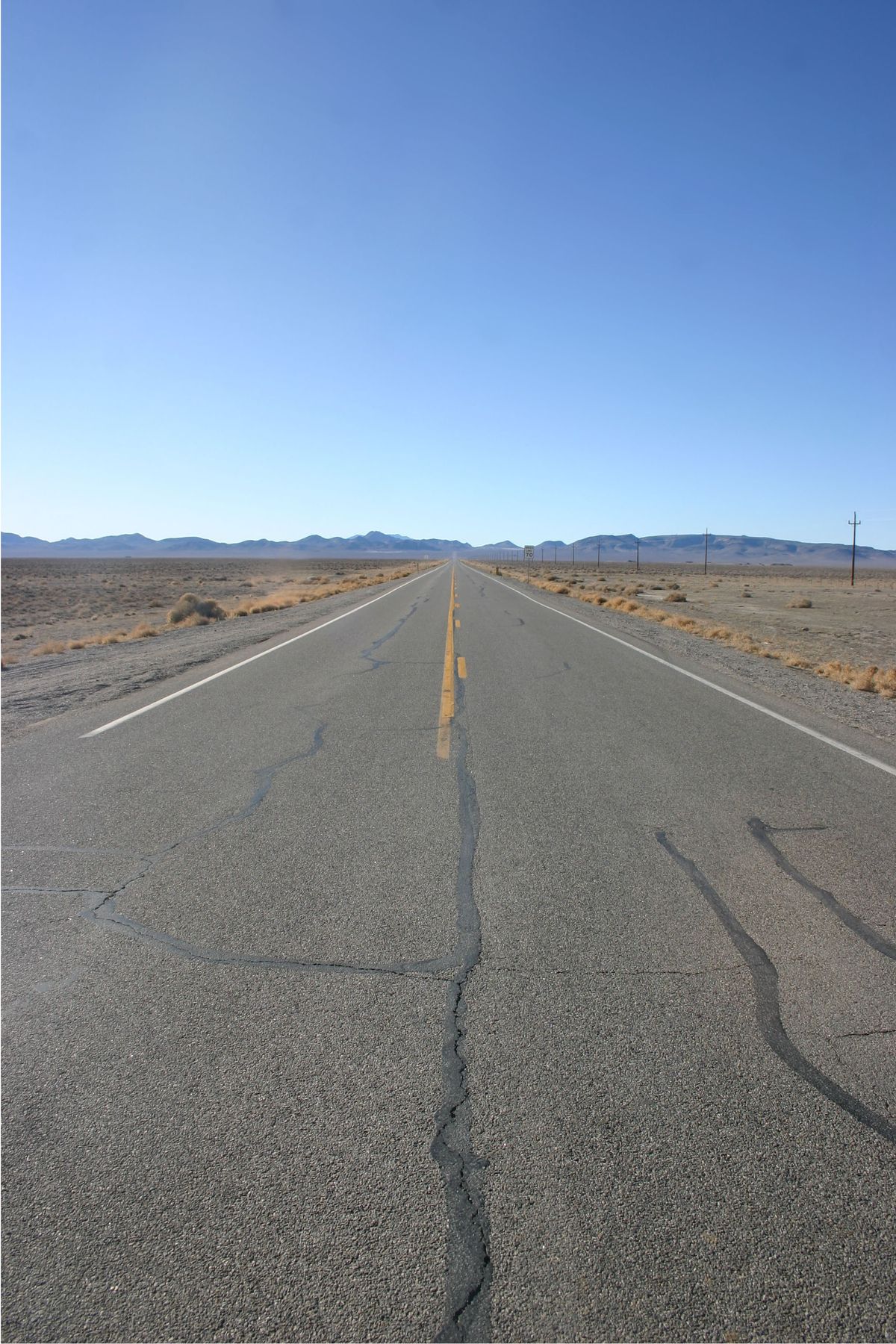
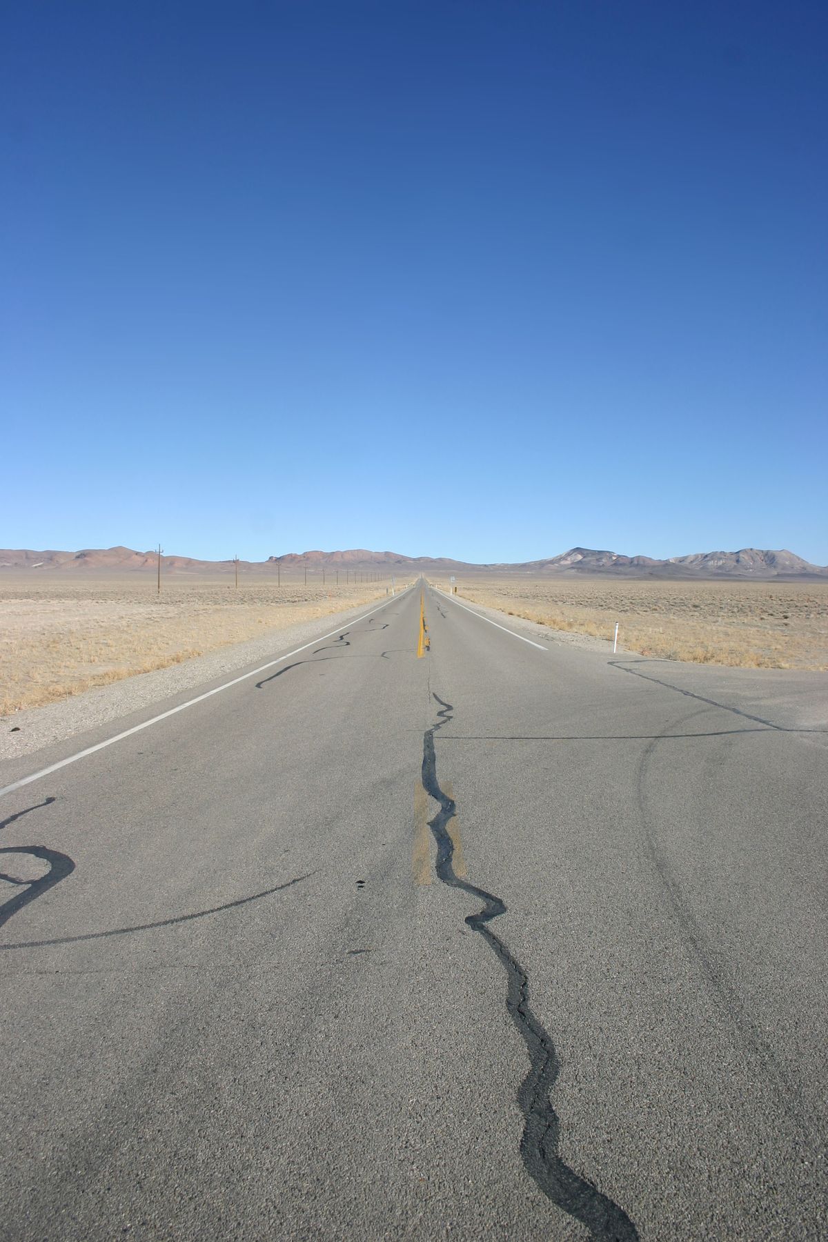
There's a stretch of U.S. Route 50 running straight through the middle of Nevada that has been dubbed the "Loneliest Road in America." But another Nevada highway might have a better claim to the title.
U.S. Highway 6, named the "Grand Army of the Republic" highway in honor of the Union Army during the Civil War, was one of the earliest coast-to-coast numbered routes. It was extended into Nevada in 1937, the stretch from Ely (pronounced "EE-lee") to Tonopah following the Midland Trail, an early “national auto trail” also called the Roosevelt Trail.
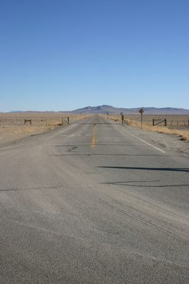
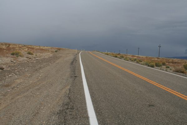
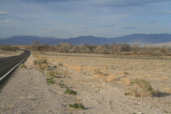
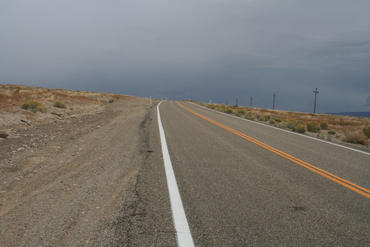
The route of U.S. 6 in Nevada has gone largely unchanged since 1937. It crosses Nevada mostly to the south of US 50, and in the nearly 300 miles between the Utah state line and the California state line, there are only two towns with populations of more than 100 people: Ely and Tonopah.
From Ely east to Delta, Utah U.S. 6 and U.S. 50 coincide, and from Tonopah west to Coaldale Junction, U.S. 6 and U.S. 95 coincide. About 24 miles southwest of Ely, U.S. 6 has a junction with Nevada State Route 318, a major north-south road that draws off much of the traffic.
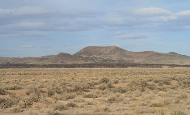
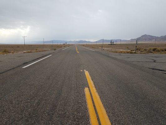
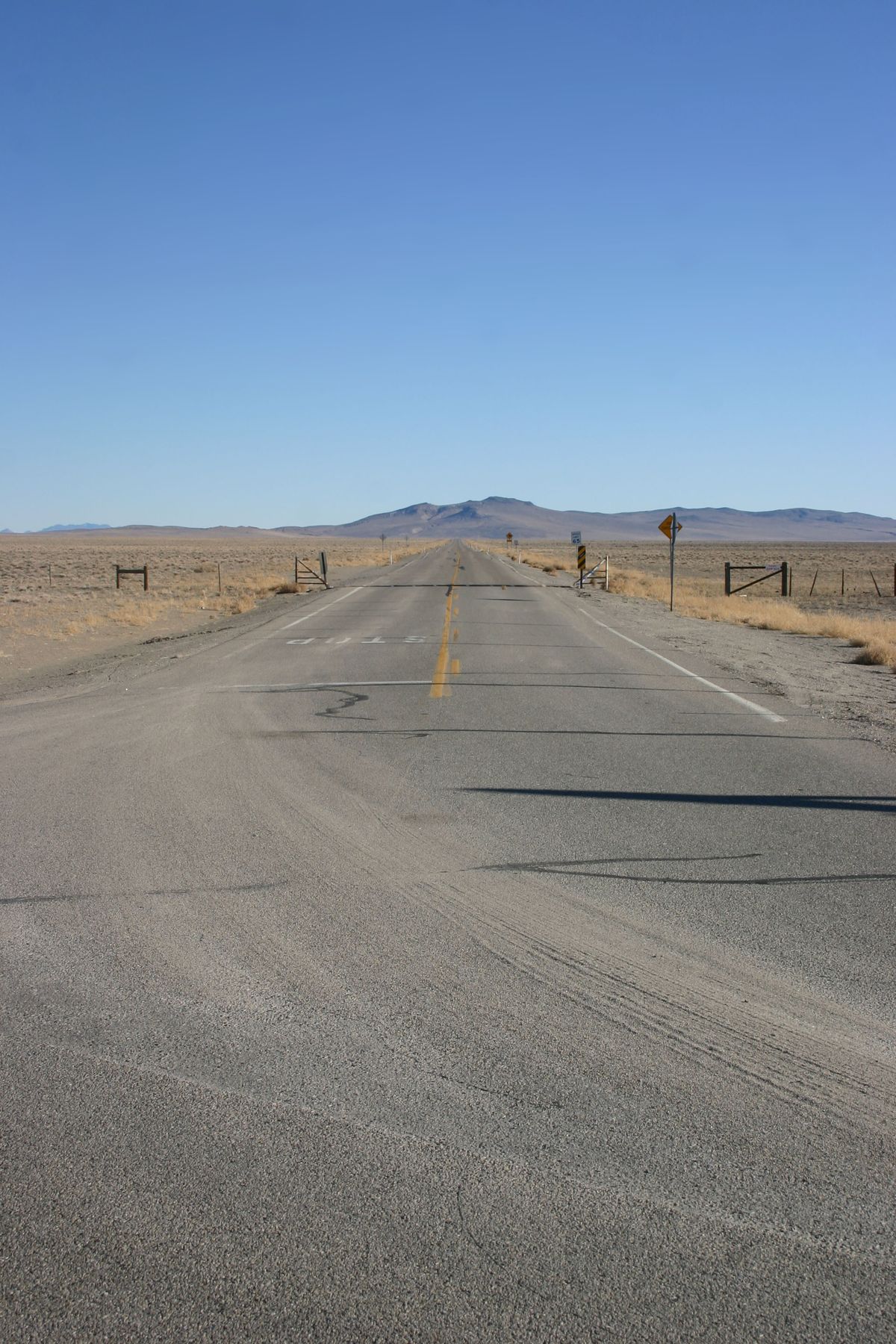
Between this junction and Tonopah, a distance of some 141 miles, traffic is sparse indeed. According to Nevada Department of Transportation statistics, in 2021 fewer than 10 cars per hour, on average, traversed the highway at Warm Springs, where the junction of Nevada State Route 375 (the famed Extraterrestrial Highway) is located. By comparison, in the same year nearly 50 cars per hour, on average, traveled on U.S. 50 west of the junction of Nevada SR-278 near Eureka.
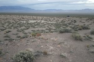
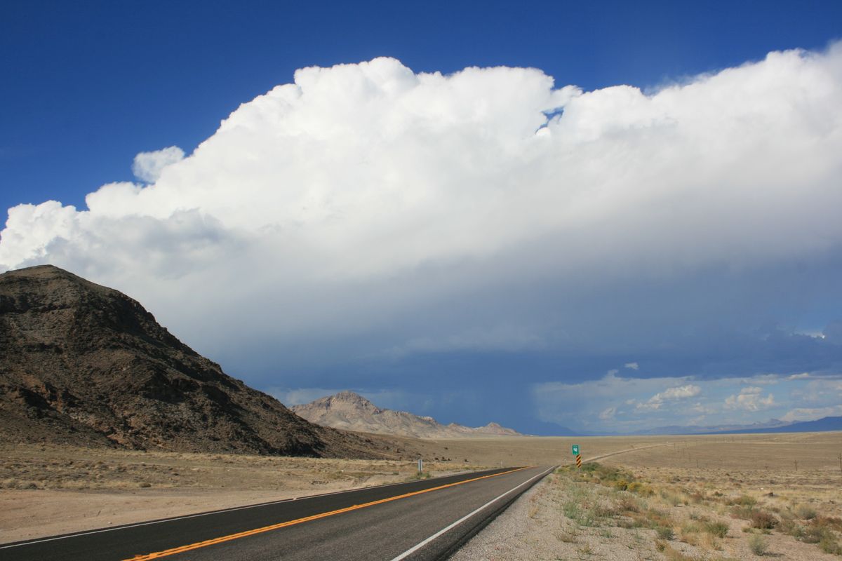
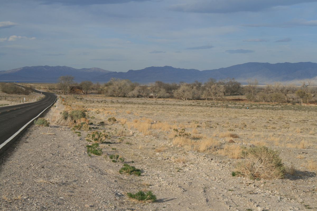
After the junction with SR-318, U.S.-6 follows a scenic stretch through piñon-juniper forest over Currant Summit, the last forested stretch until near the California line. From here the highway drops into the near-ghost town of Currant, a small farming community that lost its gas station in 1996. Currant sits toward the northern end of Railroad Valley, a long broad valley that contains no railroad (the origin of the name is uncertain).
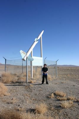
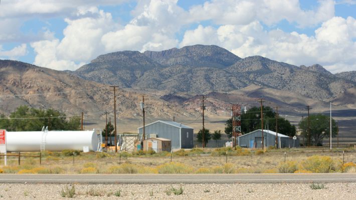
Here and there you also pass defense installations, a reminder that this part of Nevada is just north of still-active military ranges, and that military activity has been ongoing in the area for decades. One of the most interesting installations is the Tonopah Test Range, a top-secret facility that is said to be involved with the maintenance of the nuclear stockpile. Its turnoff is about 11.7 miles east of the intersection with U.S. 95 in Tonopah, and is marked with a Cold War-era missile mounted on a stand.
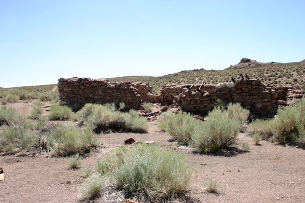
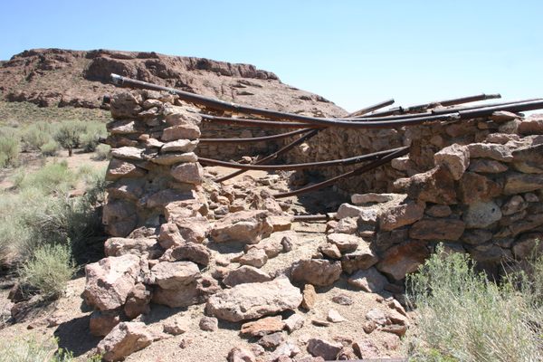
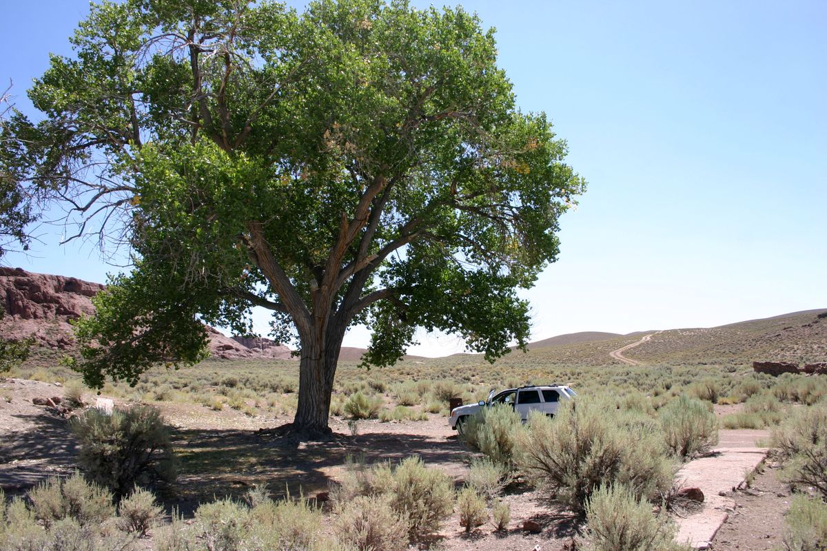
McKinney Tanks, some 18.1 miles east of Tonopah, are a reminder that historical sites in the area long antedate the mid-20th-century military presence. This old ranch ruin consists of a roofless and largely collapsed adobe building, as well as some foundations. As is often the case with abandoned ranches, the site is marked by a large cottonwood tree.
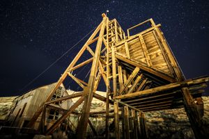
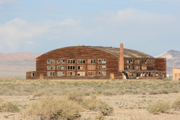
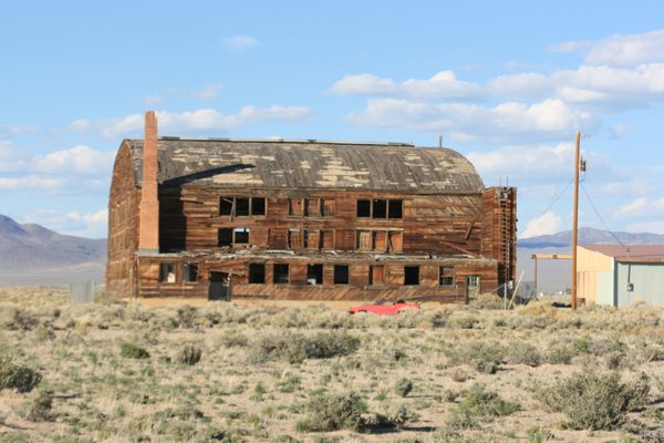
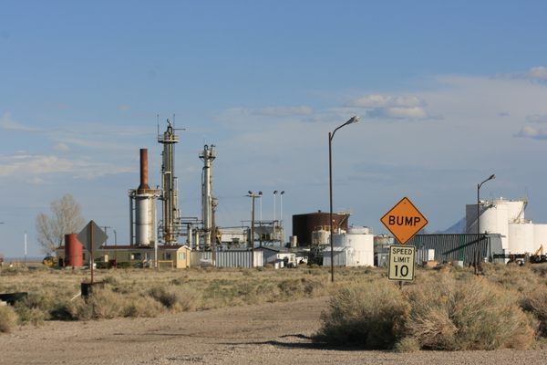
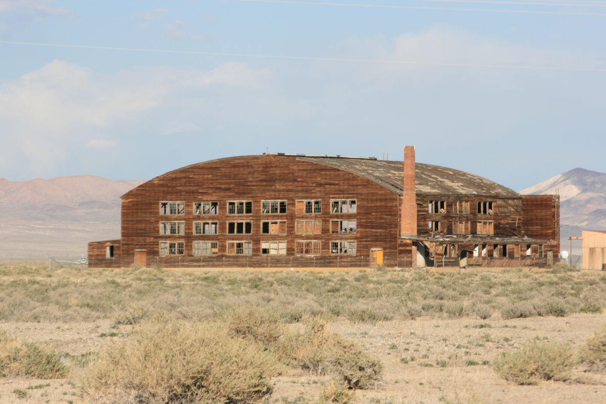
Just a few miles east of Tonopah are three enormous wooden aircraft hangars. One is easily visible from the highway to the south. These are left over from World War II, when an air base was built here for training. The hangars also saw some use in the 1950s during the Cold War, but they are all now abandoned. In fact, they're now at the point of collapse and have been fenced off for safety. The airstrip now serves as the Tonopah Airport, and other infrastructure has been repurposed, with some success, as an industrial park.
Beyond Coaldale Junction, where U.S. 6 splits back off from U.S. 95, the traffic drops off again. It is about 22 miles to the junction with Nevada SR-360 coming in from the north. The traffic picks up somewhat after this point, because SR-360 is a shortcut between U.S. 95 and Southern California.
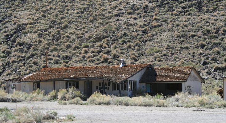
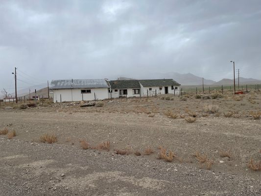
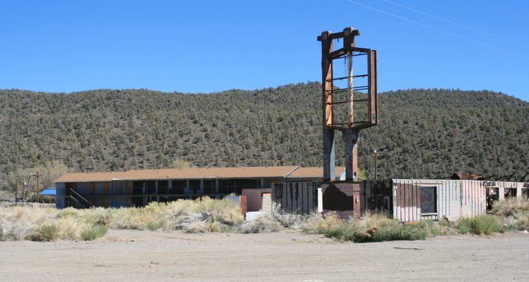
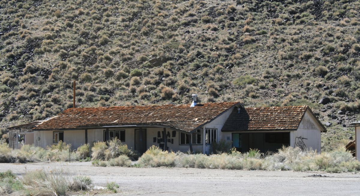
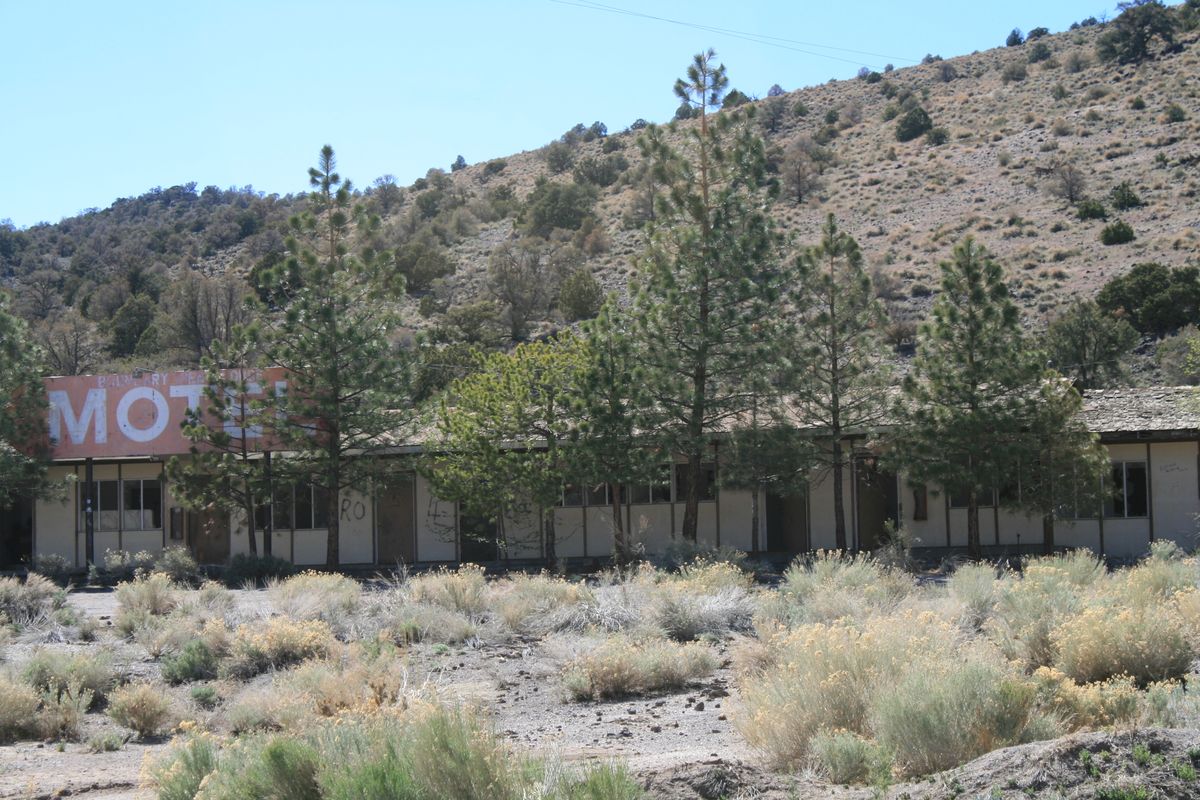
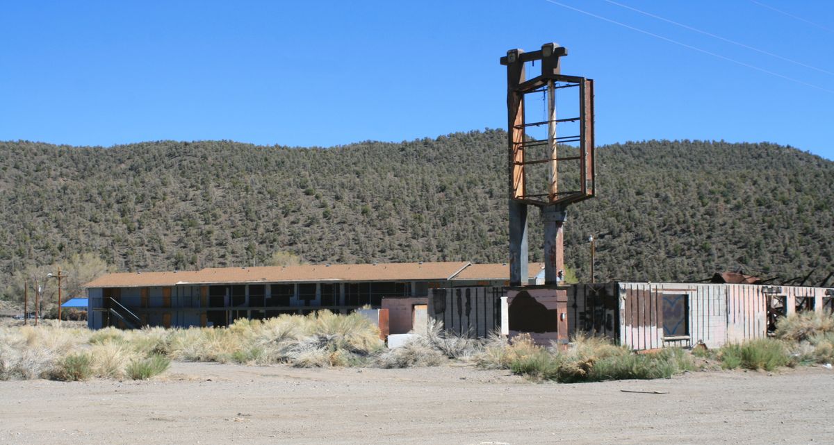
Some five miles past this intersection and only 8.5 miles from the California line is Montgomery Pass, where U.S. 6 brushes the edge of the scrub piñon-juniper biome for the first time since east of Currant. Here sits an abandoned motel/casino/gas station complex, which has now taken its place among the ghost towns dotting Nevada.
Related Tags
Know Before You Go
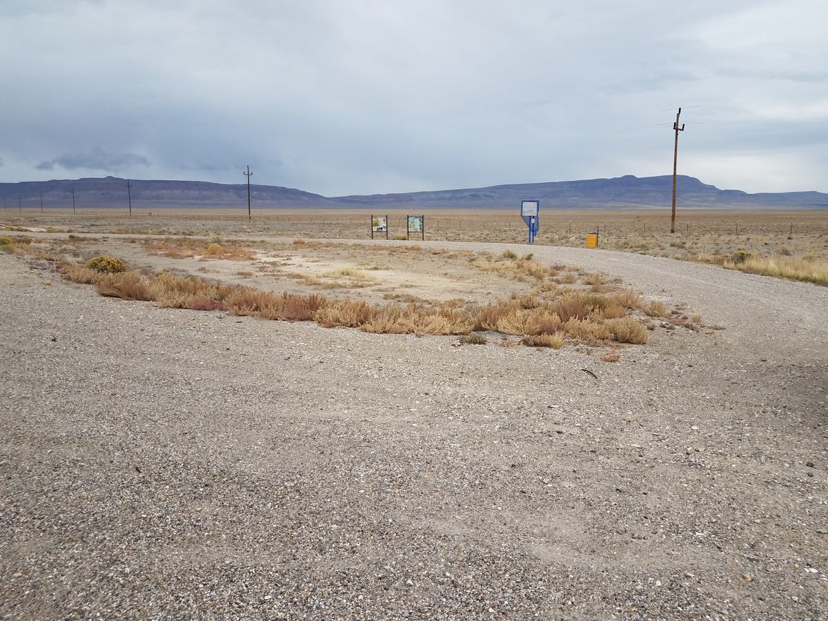
There are services only in Baker, Nevada (at the Utah border), Ely, and Tonopah, plus at a station about 7 miles down SR-318 outside Lund, Nevada. In particular, there is no gas on the 141-mile leg between the junction of SR-318 and Tonopah. Plan accordingly!
Community Contributors
Added By
Published
August 30, 2023