


About
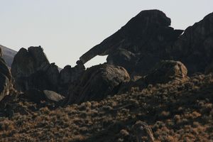
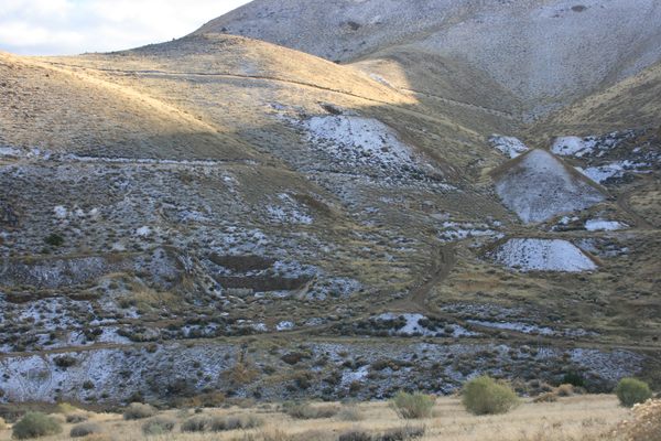
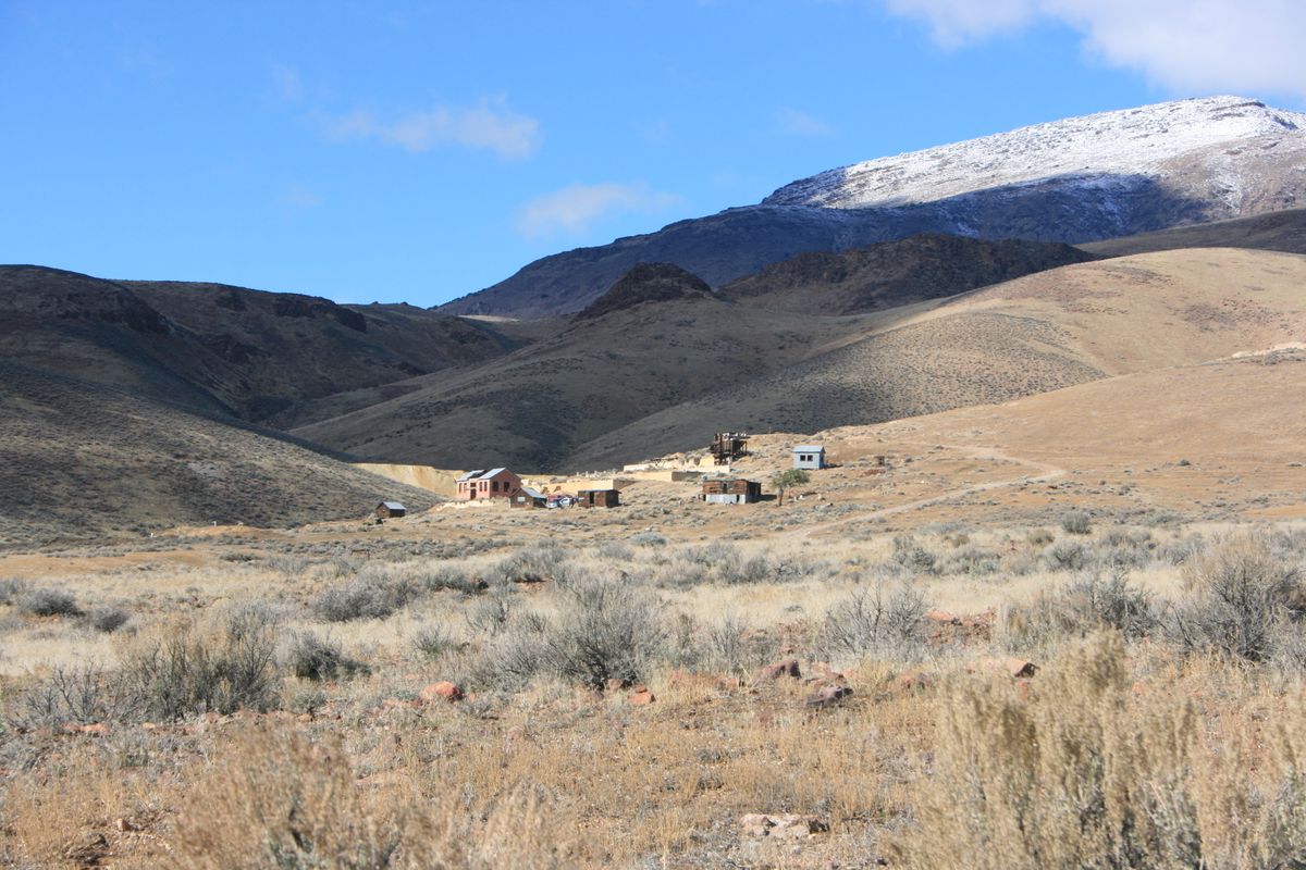
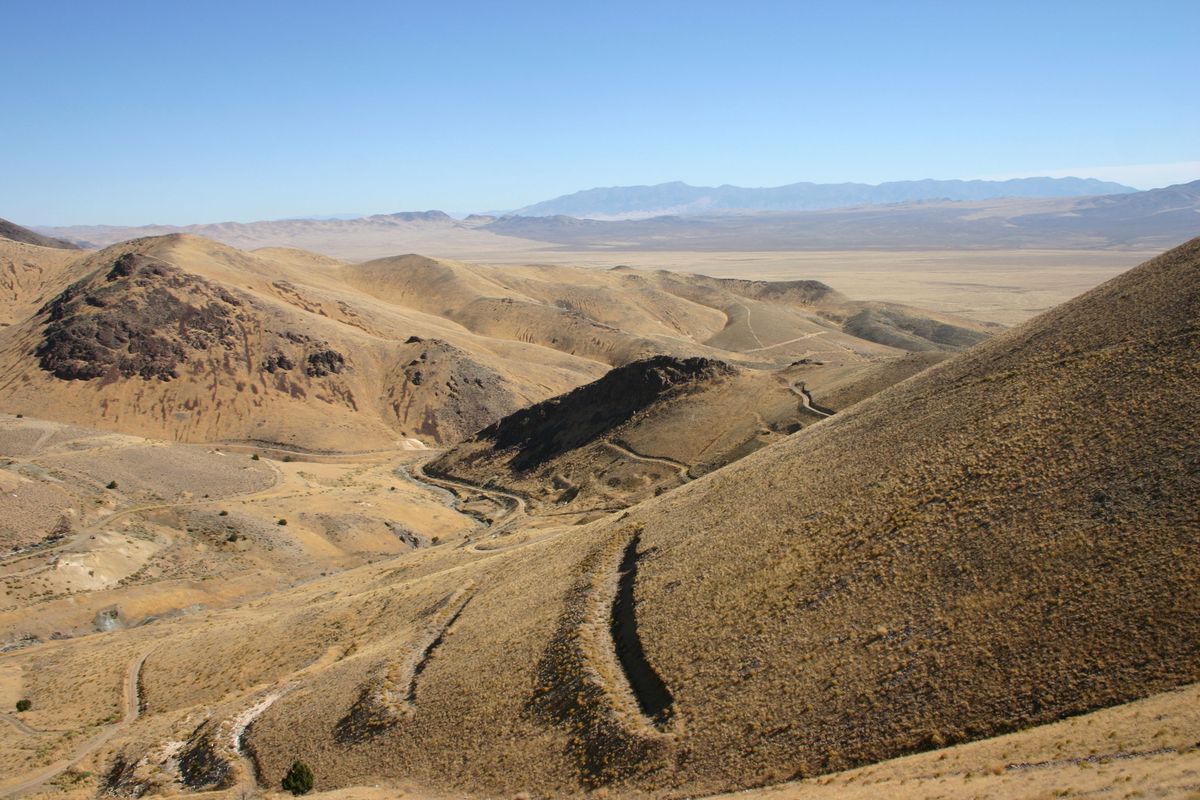
The Seven Troughs District, toward the south end of the range of the same name, includes a number of mining camps: Tunnel Camp, Vernon, Mazuma, and Seven Troughs itself, all dating from Nevada's early 20th-century mining boom. Of these, the best preserved by far is Tunnel Camp.
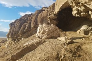
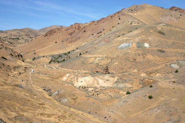
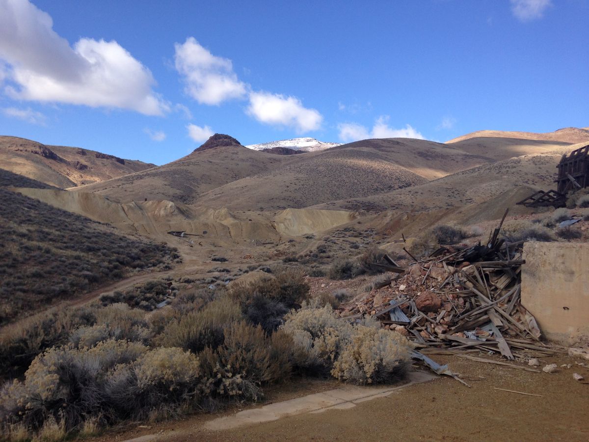
Tunnel Camp's unusual name reflected its purpose: the plan was to bore a tunnel into the range from the east so that the mines could be drained. The project was unsuccessful, however. Nonetheless, desultory mining continued in the area, and some activity persists even today.
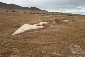
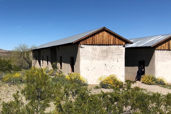
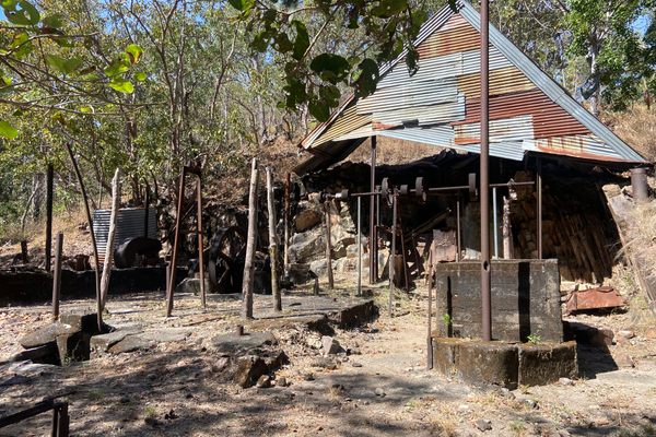
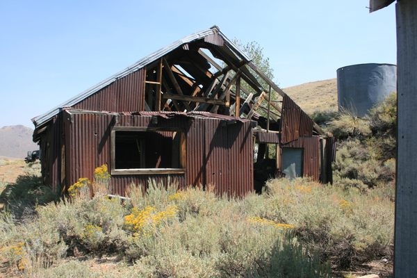
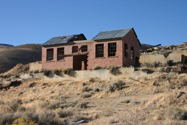
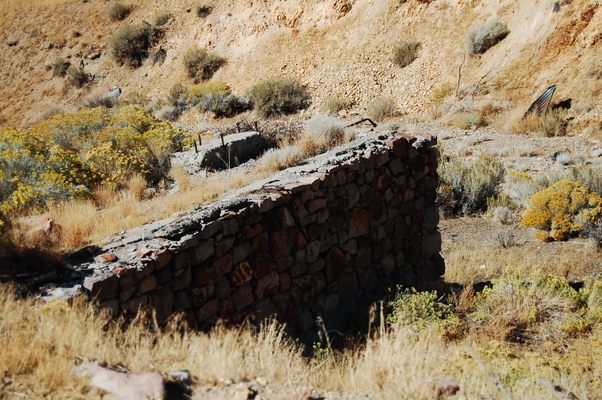
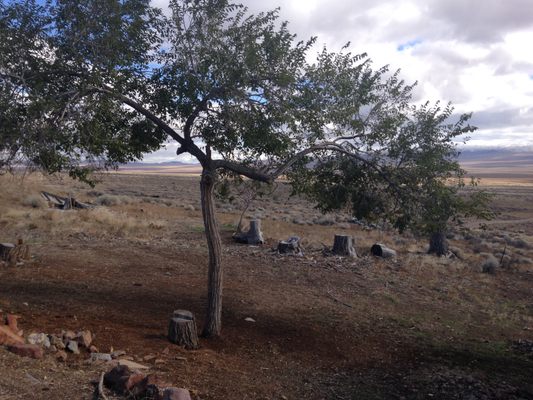
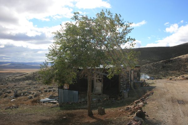
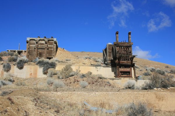
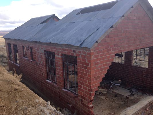
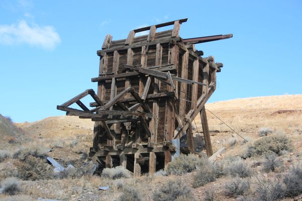
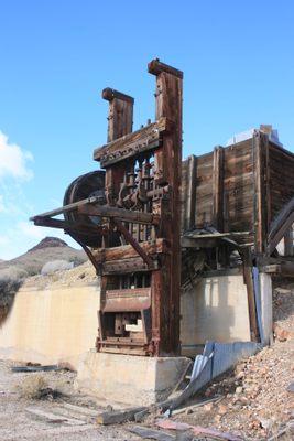
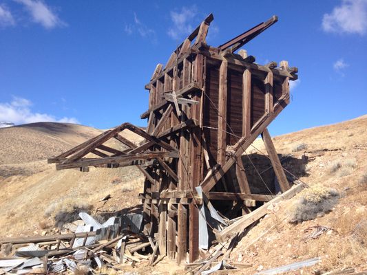
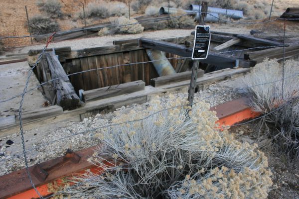
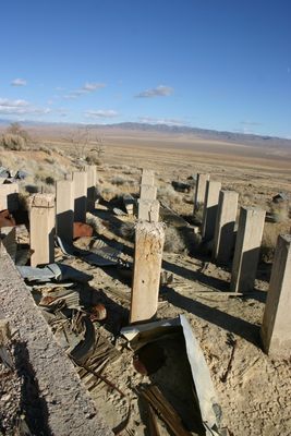
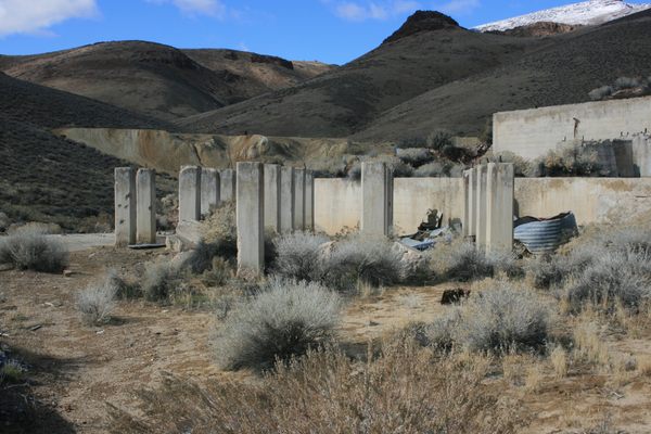
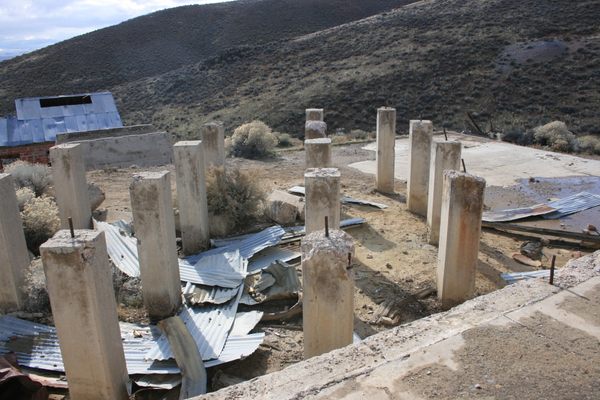
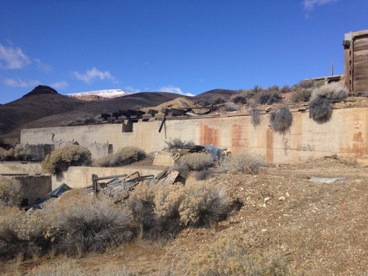
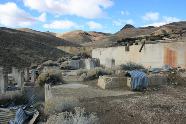
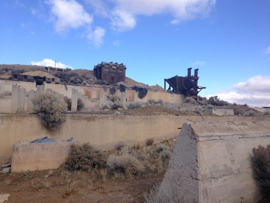
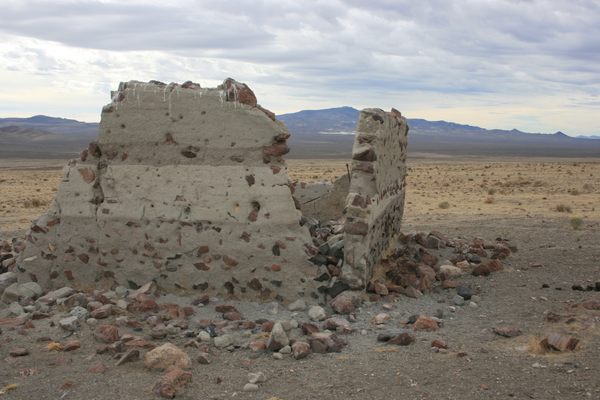
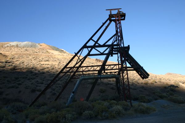
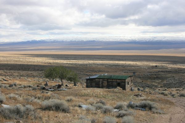
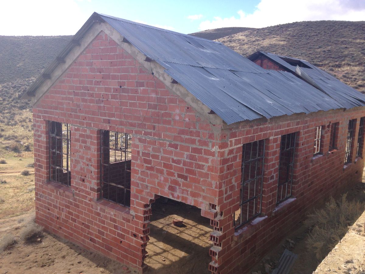
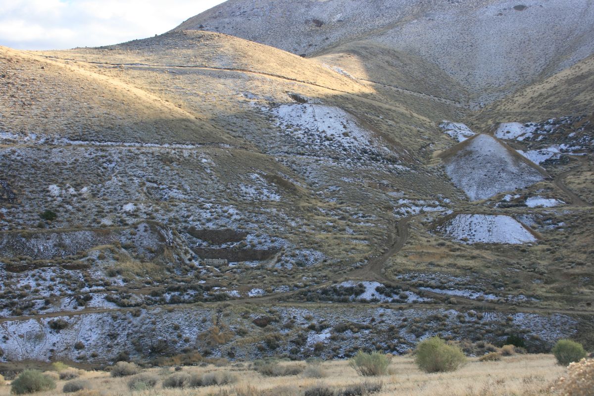
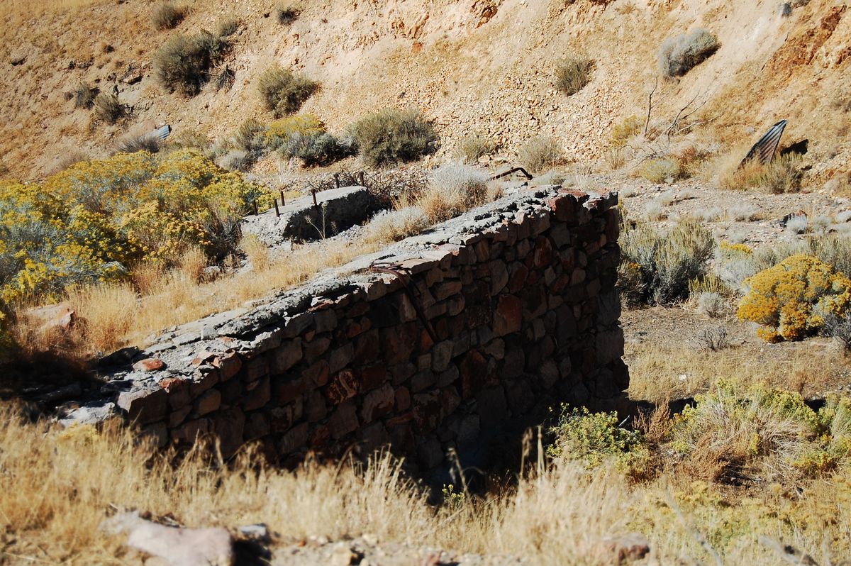
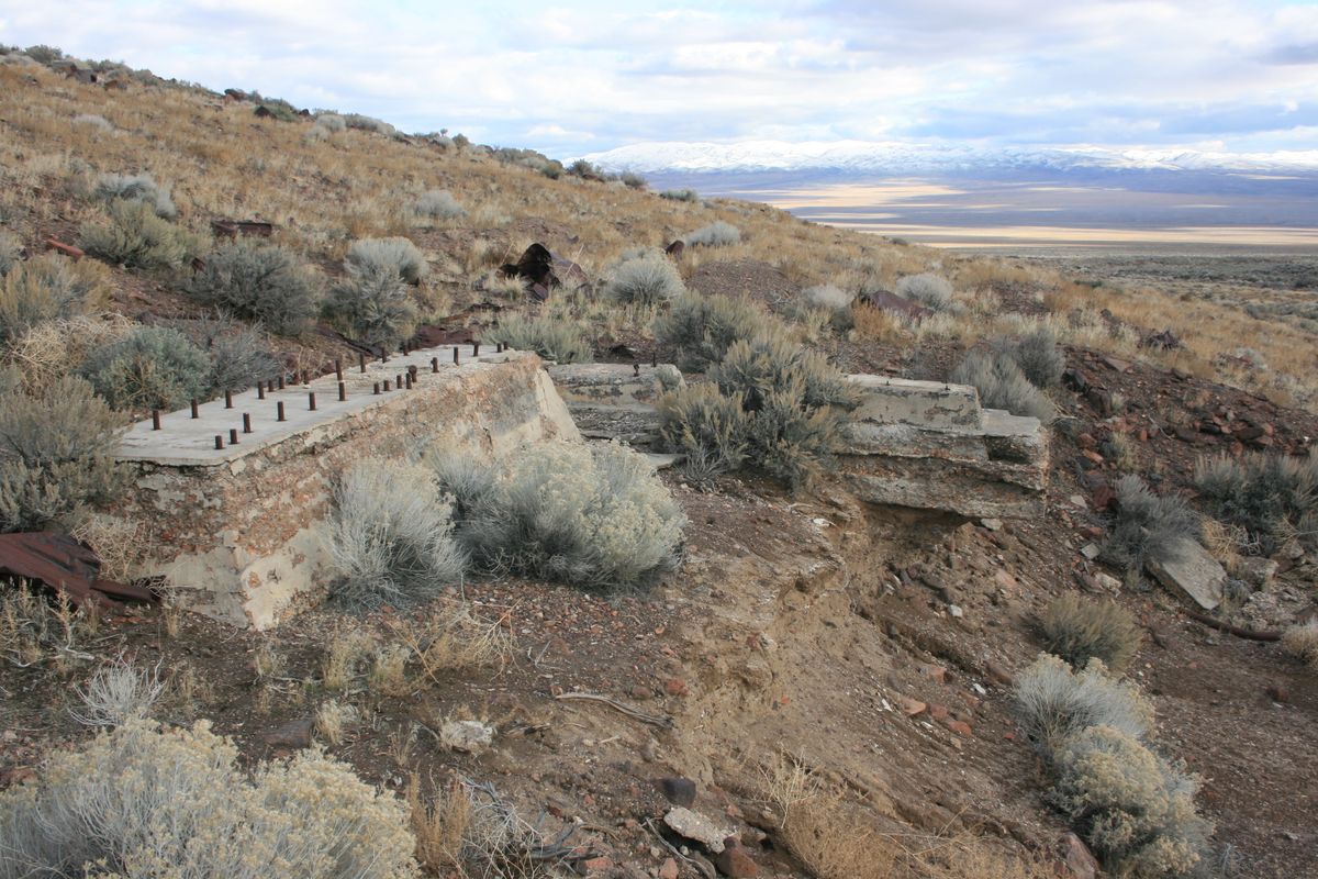
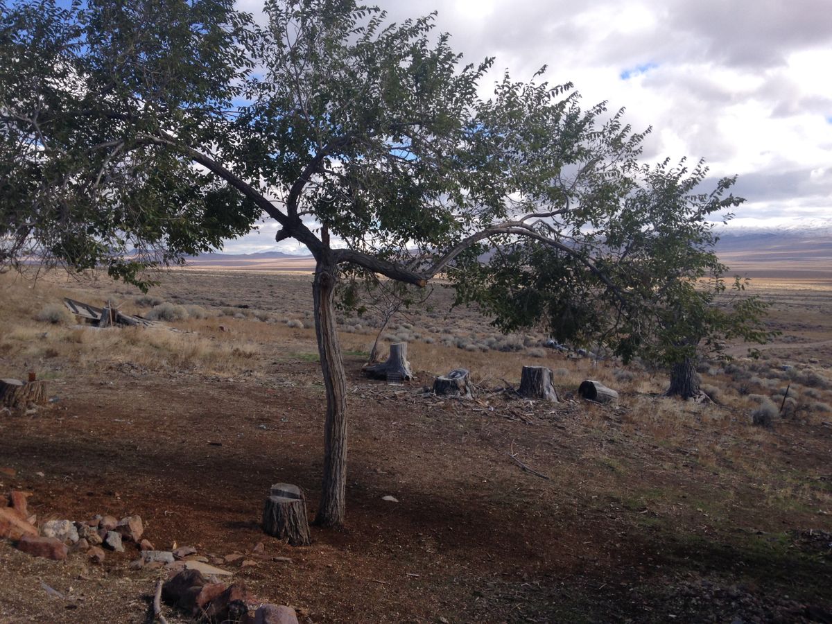
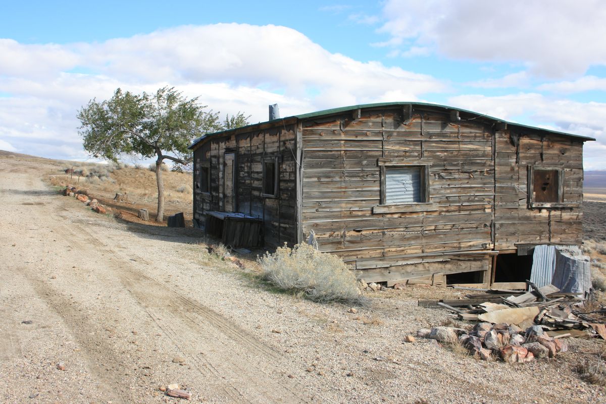
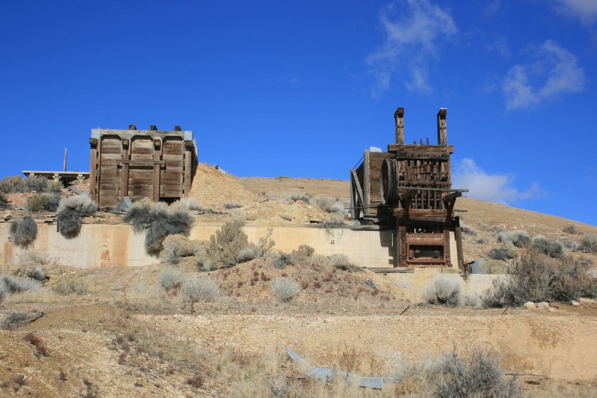
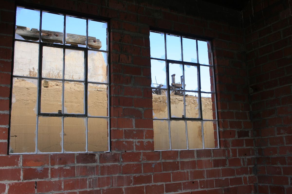
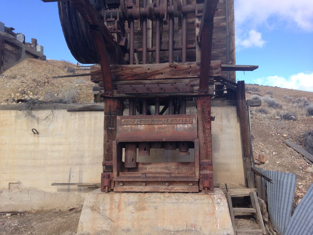
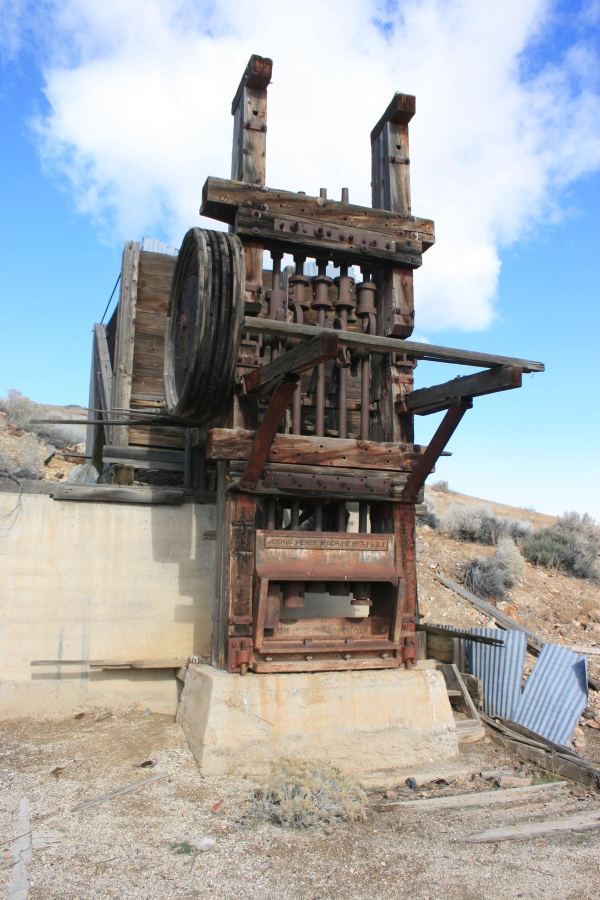
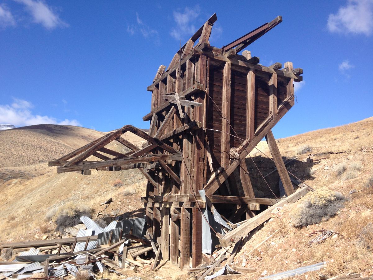
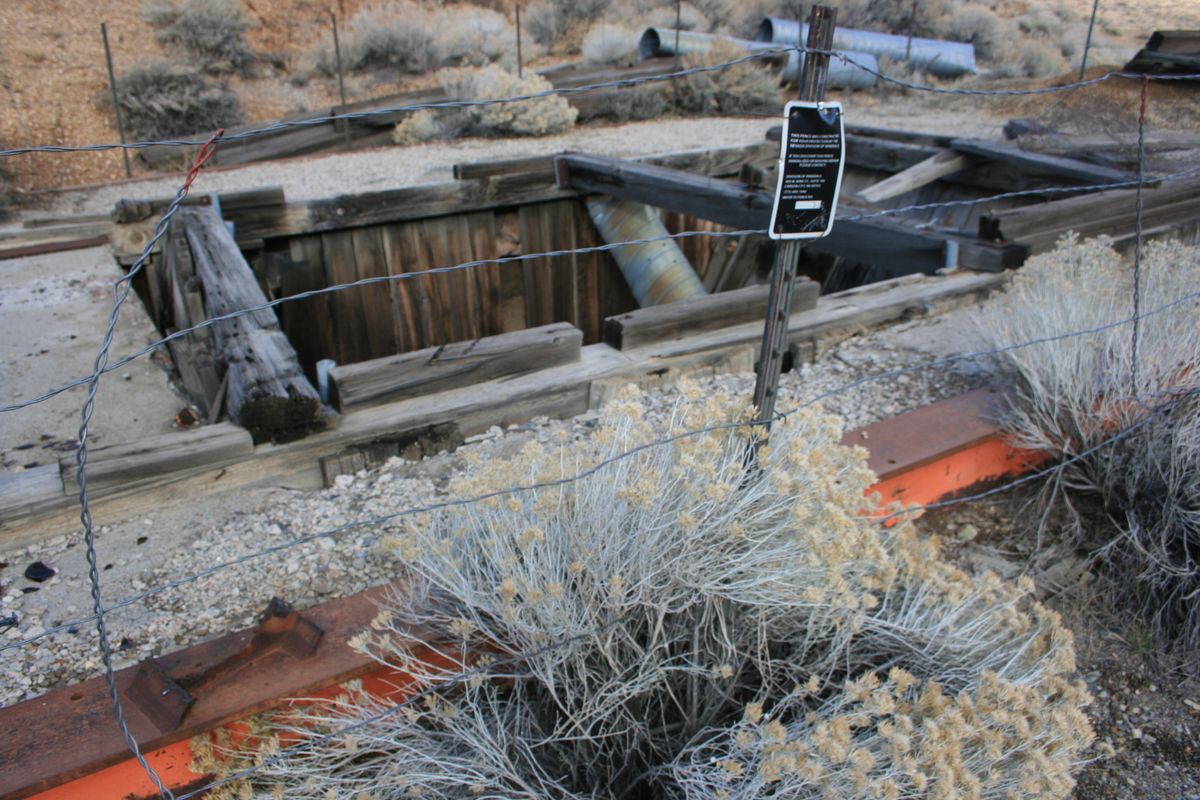
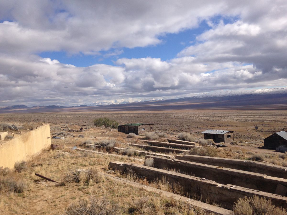
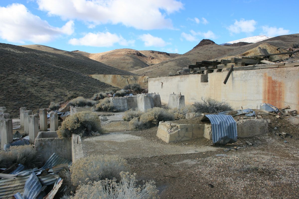
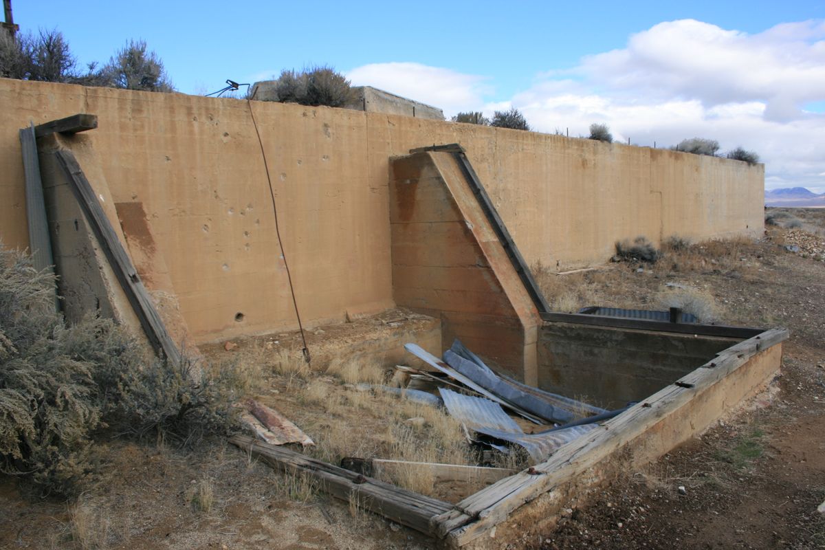
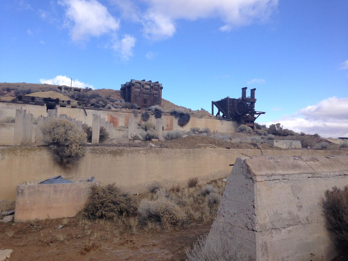
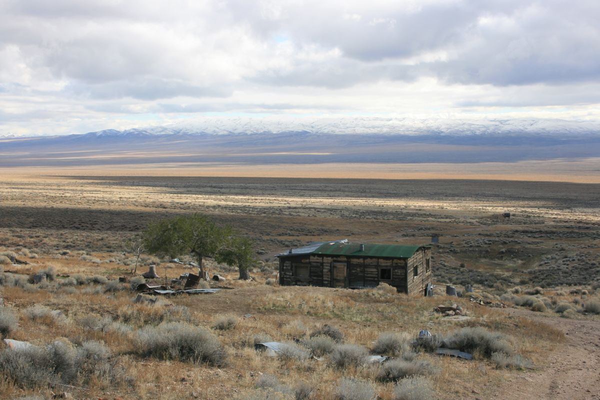
The ruins in Tunnel Camp are dominated by the foundation of a large mill, which includes a well-preserved loading chute and stamp mill. A large brick building, partly intact, was probably the mill office. Several cabins in remarkably good shape, indeed showing evidence of recent occupation, also are found. Finally, a poorly preserved graveyard is located downstream of the buildings.
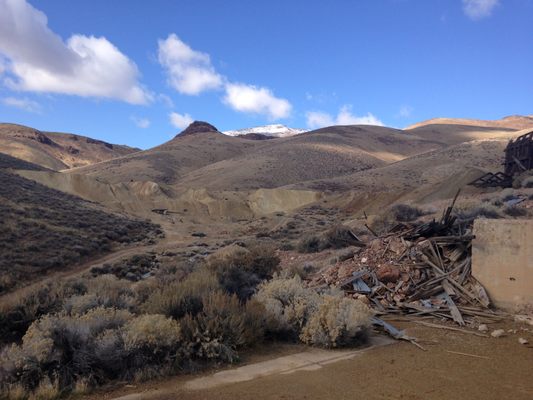
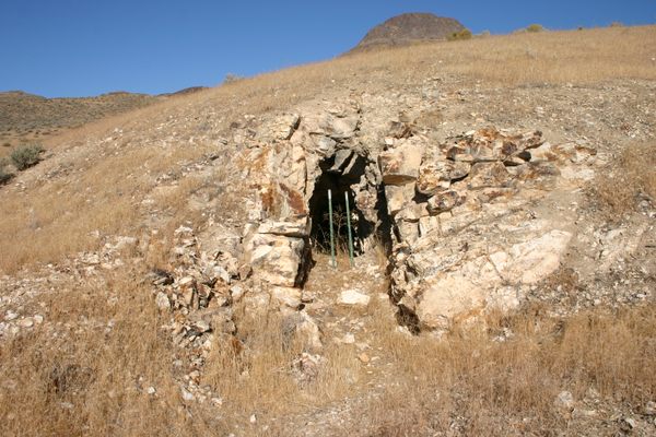
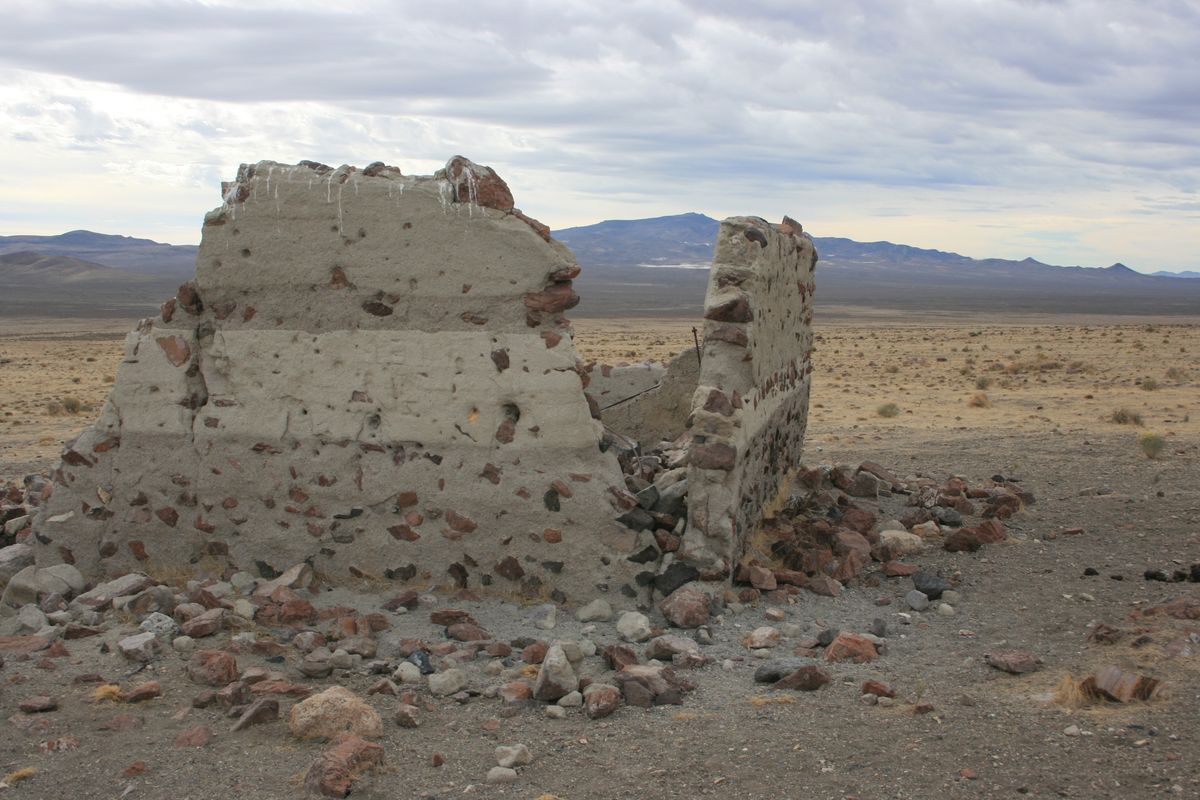
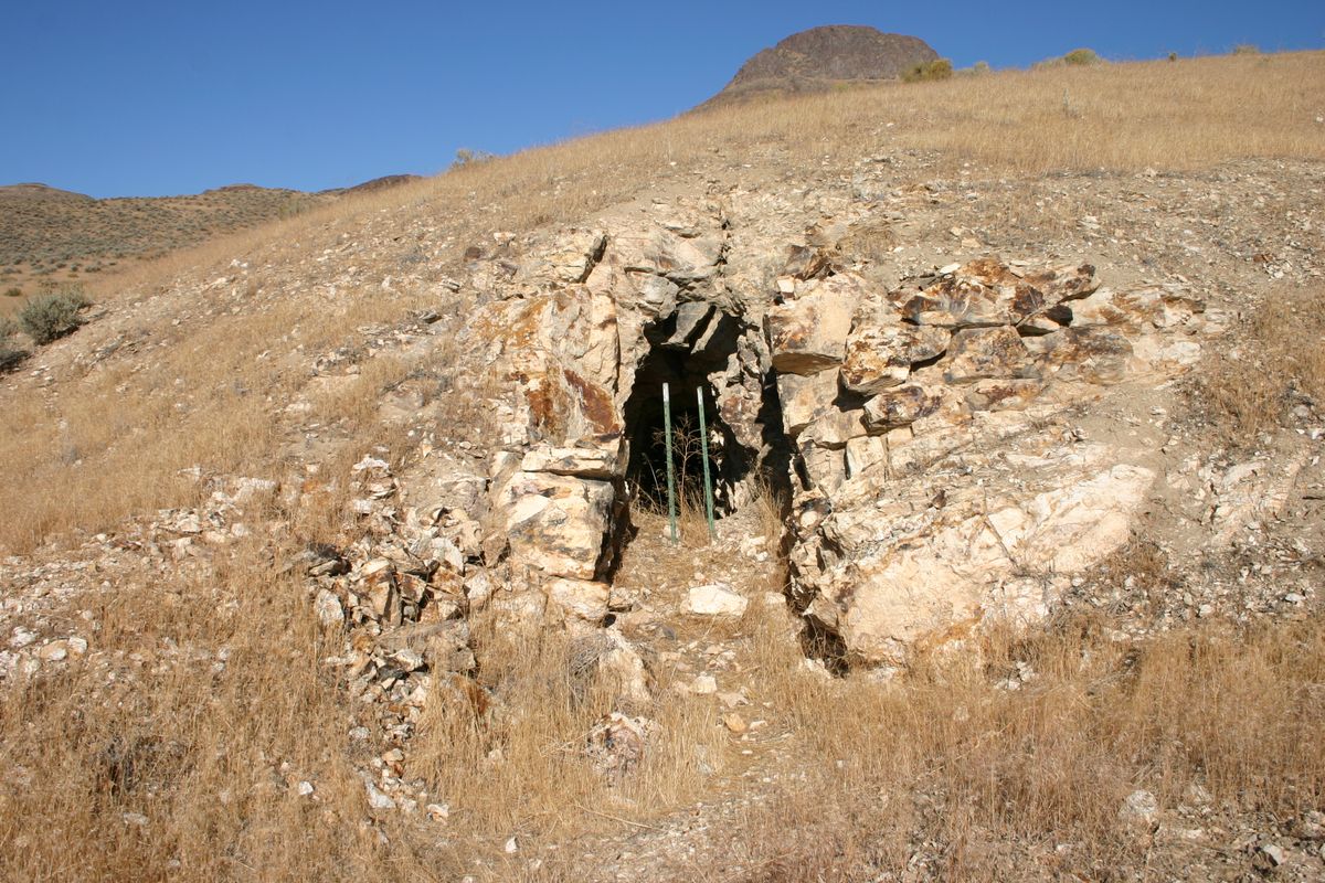
Tunnel Camp was founded later than the other camps, in 1927—that may be part of why it is so well preserved. Another factor is probably that a few people still lived there up until circa 2000. Finally, a wildfire swept through Seven Troughs Canyon in the early 1990s, destroying any wooden ruins that remained there. Little is left of the other camps, just adits and spoil heaps with occasional stone or concrete foundations. The handful of steel structures are more recent additions.
Related Tags
Know Before You Go
From Lovelock, Nevada take Nevada State Route 399 9.8 miles from its junction with NV 854 northwest of town, and turn right on a big graded road (Seven Troughs Road). Follow it 4.8 miles to a shallow junction (40.345530 N, 118.699894 W); bear left here and go 0.6 miles to another shallow junction at 40.354087 N, 118.705473 W. Bear right and continue on this road for 4.8 miles to yet another shallow intersection at 40.41698 N, 118.74074 W, where you bear left and go 2.4 miles to a T-junction at 40.445008 N, 118.768645 W. Tunnel Camp is about 1/4 mile to the left.
To get to the Seven Troughs site, follow the range-front road northwest from Tunnel Camp a bit more than a mile, to where it drops into a prominent drainage, Seven Troughs Canyon. This is also the site of Mazuma, which has been virtually obliterated over the years by flash flooding. The site of Seven Troughs proper is another mile or so upstream, just beyond the narrows in the canyon at about 40.46761 N, 118.78315 W. (What's shown as "Seven Troughs" on Google Maps is actually the Fairview Mine. The US Geological Survey Seven Troughs 7.5' topographic quadrangle is a better guide to the features in the area.) A couple of foundations and lots of adits with spoil heaps remain.
The site of Vernon is about 2 miles southwest of Tunnel Camp. Head back about 0.1 miles from Tunnel Camp to pick up the range-front road and turn right. Vernon was located where this road intersects a road heading up north into the Seven Troughs Range. Again, only a few adits and foundations are left.
Although the roads are nominally graded as far as Tunnel Camp, high clearance will be useful because of frequent washouts, and four-wheel drive is likely to be necessary in Seven Troughs Canyon. Maps show a road leading out of the canyon over the ridge to the south to connect with the road coming north from Vernon; however, storms over the last ten years or so have rendered this road impassible to anything but OHVs.
Community Contributors
Added By
Published
December 22, 2023