


About
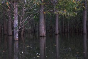
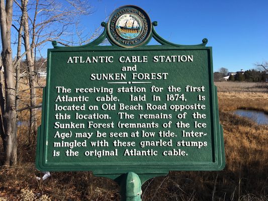
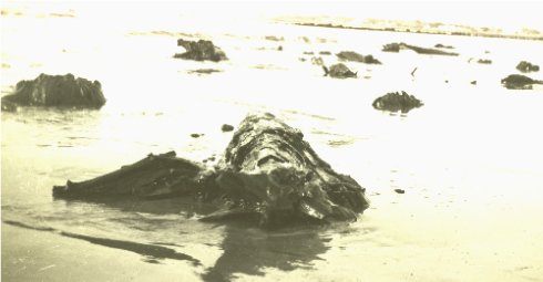
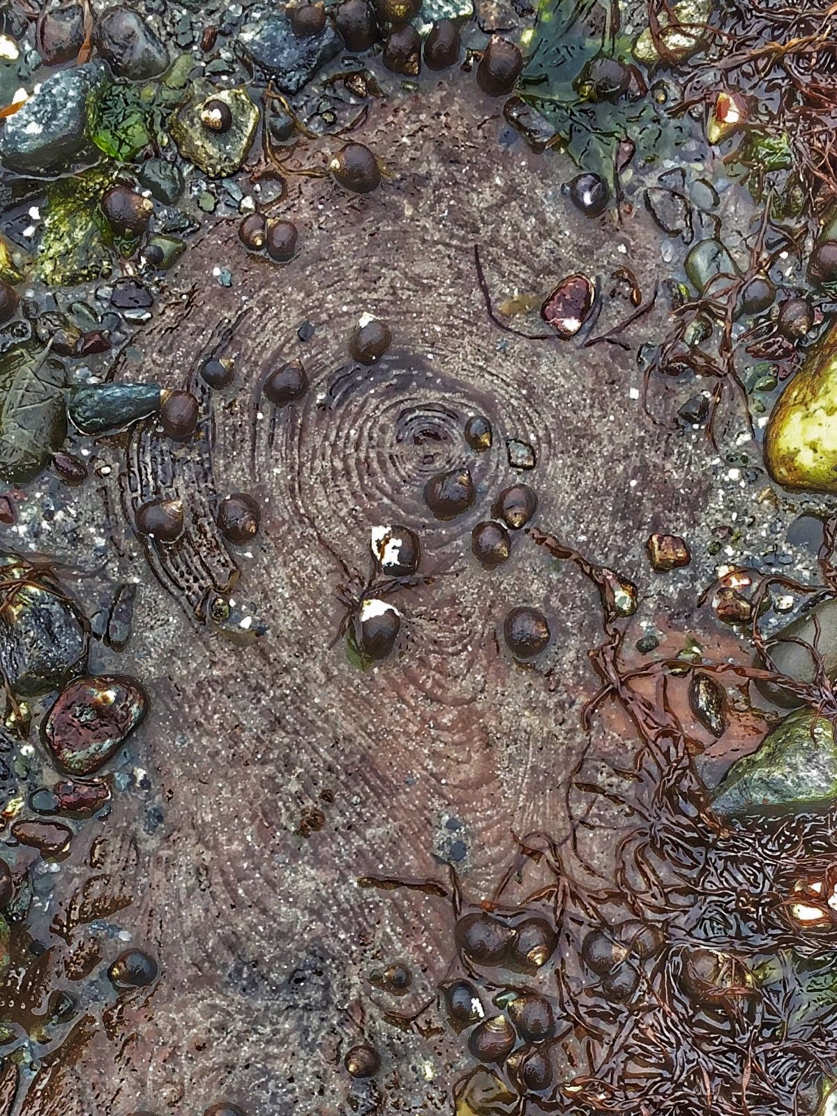
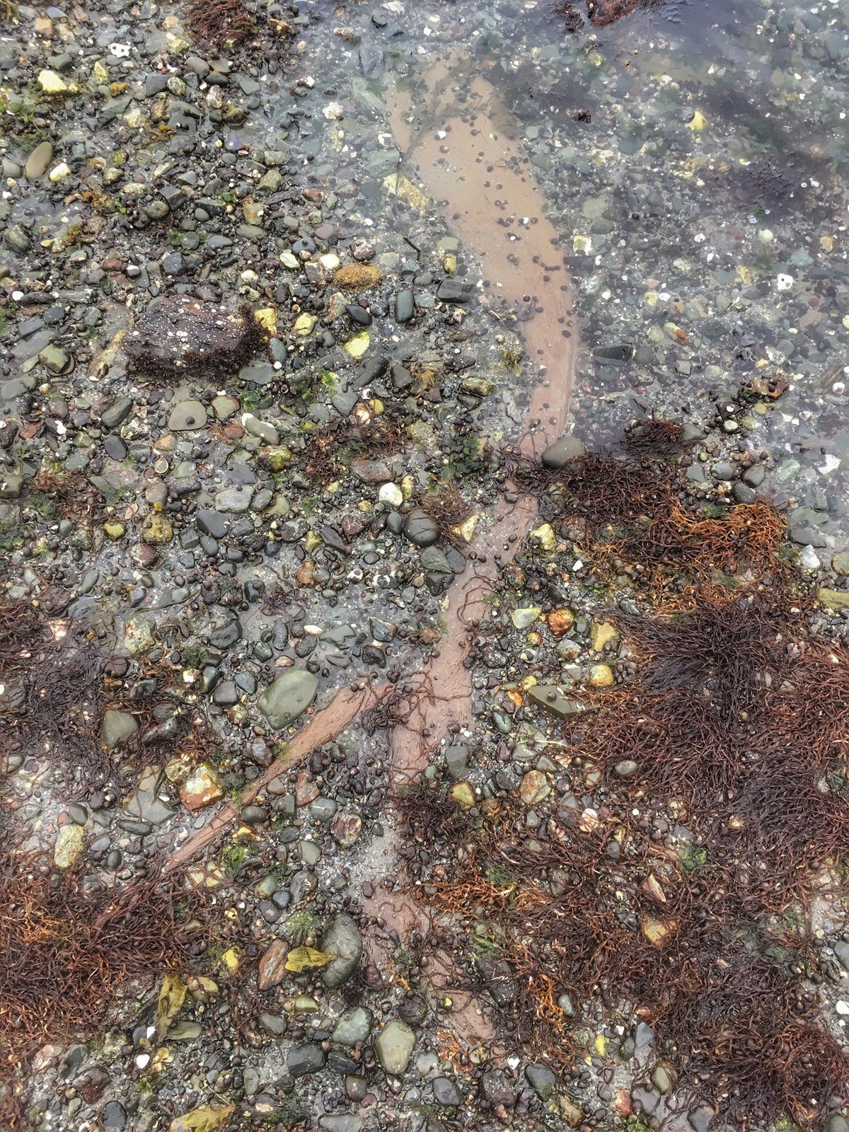
In two places along New Hampshire's coast, if the tide is right, you can see the remains of a forest drowned when the glaciers retreated.
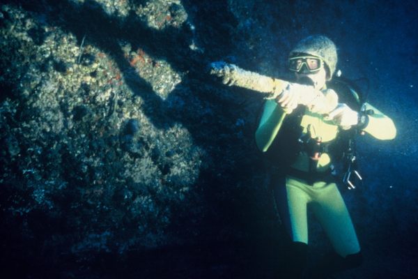
One of the stump fields—just to the north of Jenness Beach—can only be seen when tides are extremely low (or by divers). There are 56 stumps that have been visible in 1940, 1958, 1962, 1978, 2007, and most recently in 2010 after a severe storm. Counting the rings on the stumps revealed they were over 100 years old.
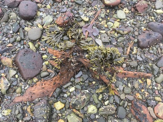
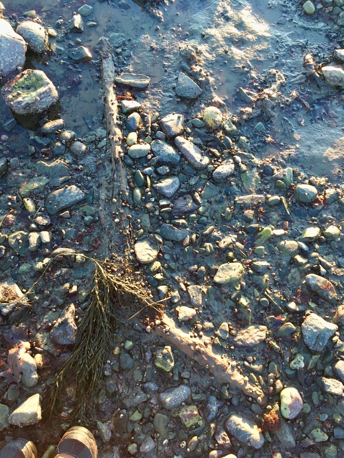
The Drowned Forest off Odiorne Point is in shallower water and is accessible during low tide.
Related Tags
Know Before You Go
Take Rte. 1A south from Portsmouth, New Hampshire. Parking is available at the Odiorne State Park at Seacoast Science Center, the Sunken Forest is a short walk from there.
A PDF map of the “Drowned Forest” is available on the Seacoast Science Center’s website.
Community Contributors
Added By
Published
June 3, 2009