About
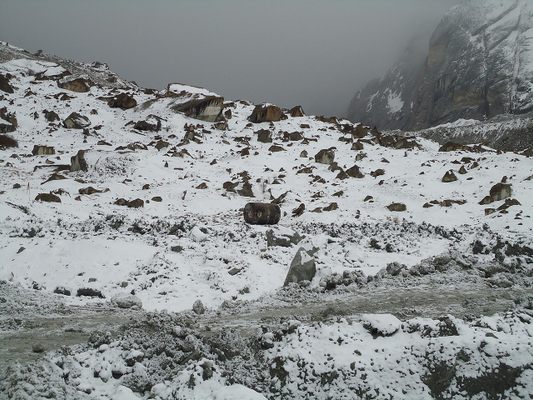
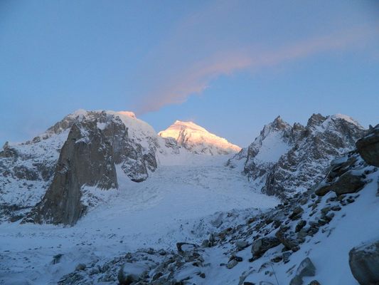
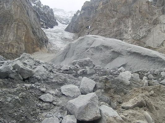
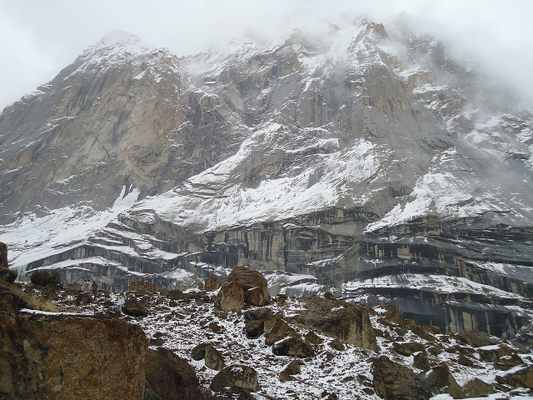
Since 1984, Indian and Pakistani forces have been occupying posts on or near the Siachen Glacier, a 47-mile-long glacier in the Himalayas. And despite a ceasefire in 2003, tensions remain high on the world’s highest battleground.
In 1949, military representatives of India and Pakistan signed the U.N.-mediated Karachi Agreement, establishing a cease-fire line in Kashmir following the Indo-Pakistani War of 1947. The line between the two nations was demarcated up to point NJ9842 at the foot of the Siachen Glacier, in the extreme north of both countries.
The inhospitable terrain beyond point NJ9842 was not demarcated, simply because U.N. officials didn’t think either country would ever dispute such a barren region. But in the decades following the Karachi Agreement, both India and Pakistan claimed sovereignty over the Siachen area. Then, in 1983, India began receiving intelligence reports warning of an imminent Pakistani incursion into the region, and a potential assault on the Saltoro Ridge, a strategic location on the southwest side of the Siachen Glacier.
Pakistan was indeed planning to launch a strike, but it made a bizarre error. According to a retired Pakistani army colonel, Pakistan ordered Arctic-weather gear prior to the assault from a London outfitter. But the same outfitter also supplied the Indians. The Indians heard of the Pakistani order and promptly ordered twice as many outfits as the Pakistanis and then rushed their soldiers to Siachen.
Pakistan went ahead and launched Operation Ababeel in April 1984, with the intention of taking the Saltoro Ridge. But thanks to the previously obtained intelligence, India launched Operation Meghdoot just 48 hours before the Pakistani assault. When the Pakistan forces arrived, the Indians had already captured the heights of Saltoro.
India took control of around 1,000 square miles of territory during its military operations in Siachen. During the rest of the 1980s and throughout the 1990s, both sides launched various combat operations in an attempt to take strategic positions.
But from the 2003 ceasefire up until the present day, things remained much as they had before, with India in control of the Siachen Glacier and all of its tributary glaciers, as well as all the main passes and ridges of the Saltoro Ridge. Pakistan, meanwhile, holds posts at lower elevations along the spurs of the Saltoro ridgeline.
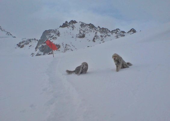
Despite attempts at finally ending this uneasy status quo, both sides still maintain a presence of about 3,000 troops each. As for fatalities, most have been due to severe conditions on the high-altitude glacier (its highest point sits at about 18,875 feet above sea level). By the 2003 ceasefire, around 2,000 men had died, most of them from frostbite, avalanches, and other effects of the extreme environment, rather than from actual fighting.
Soldiers sent to Siachen know they’ll be serving in a bitter and inhospitable environment. They also know that they’ll be arriving at the highest battleground on Earth, a fact recognized by Guinness World Records. They might also end up stationed at the world’s highest military base, which sits on a ridge up above the glacier at an altitude of around 19,685 feet. Other records created by this strange conflict include the world’s highest helipad and the world's highest telephone booth, both installed on the glacier by India.
The glacier itself, meanwhile, continues to suffer from all this human activity. It has retreated significantly in the last 30 years, partly as a result of waste dumping by both sides. The military presence has also put rare species at risk, including snow leopards, brown bears, and ibex, who called the Siachen Glacier home long before the arrival of the two rival nations.
Related Tags
Know Before You Go
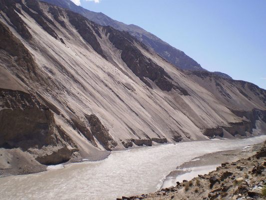
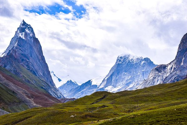
The Siachen Glacier is located in Northern Ladakh in the eastern Karakoram Range of the Himalayas. The nearest civilian settlement is Warshi, a small village about 10 miles downstream from the Indian base camp. Due to the ongoing tensions in the Siachen region, civilians rarely travel to the area unless they have some connection with either the Indian or Pakistani forces stationed at the glacier.
Published
June 20, 2019
Sources
- https://www.latimes.com/archives/la-xpm-1999-mar-09-mn-15521-story.html
- http://www.siachenglacier.com/War-at-the-Top-of-the-World.html
- https://www.jagranjosh.com/general-knowledge/what-is-the-siachen-glacier-dispute-1528291952-1
- https://www.bbc.com/news/world-asia-india-26967340
- https://www.deseretnews.com/article/592928/India-soldiers-can-phone-home-from-20000-feet.html
- https://www.guinnessworldrecords.com/world-records/highest-military-base
- https://www.guinnessworldrecords.com/world-records/highest-battlefield
