


About
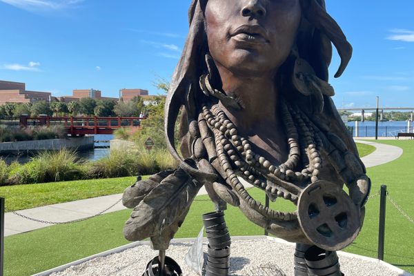
Historical records indicate that the Old Indian Trail that runs from Cadillac to Traverse City in western Michigan may date back to as early as 600 B.C. The trail later became an important trade and transportation route for the Native American tribes who were the original inhabitants of this region.
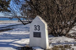
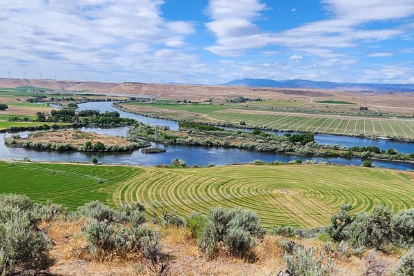
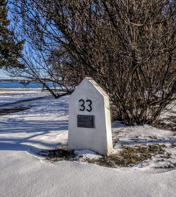
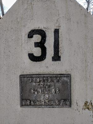
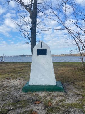
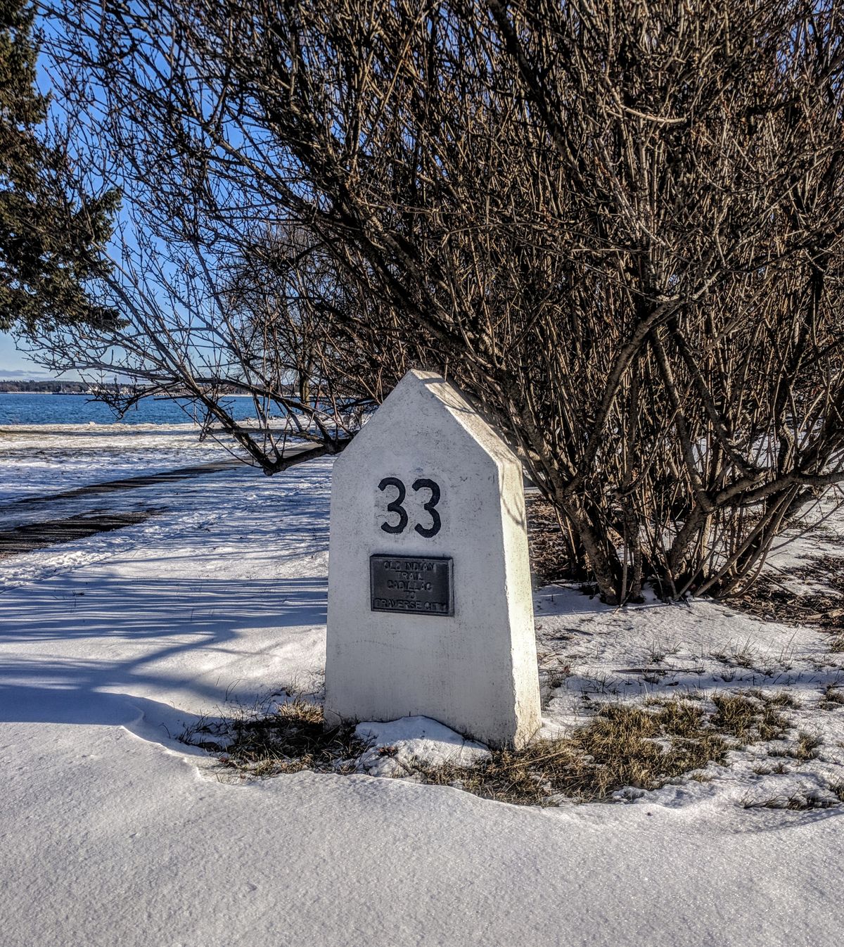
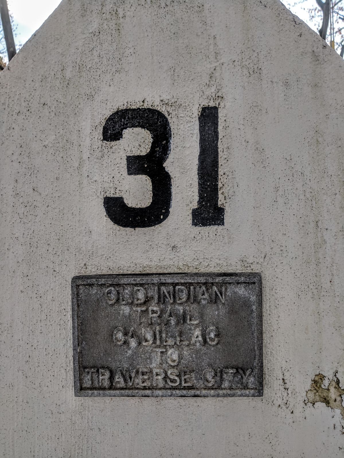
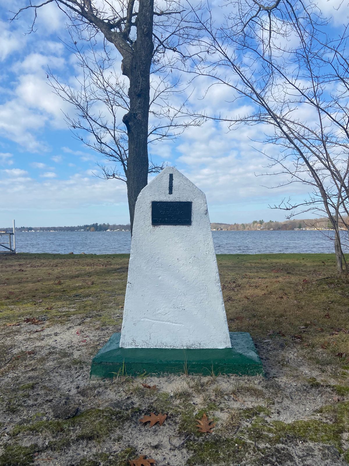
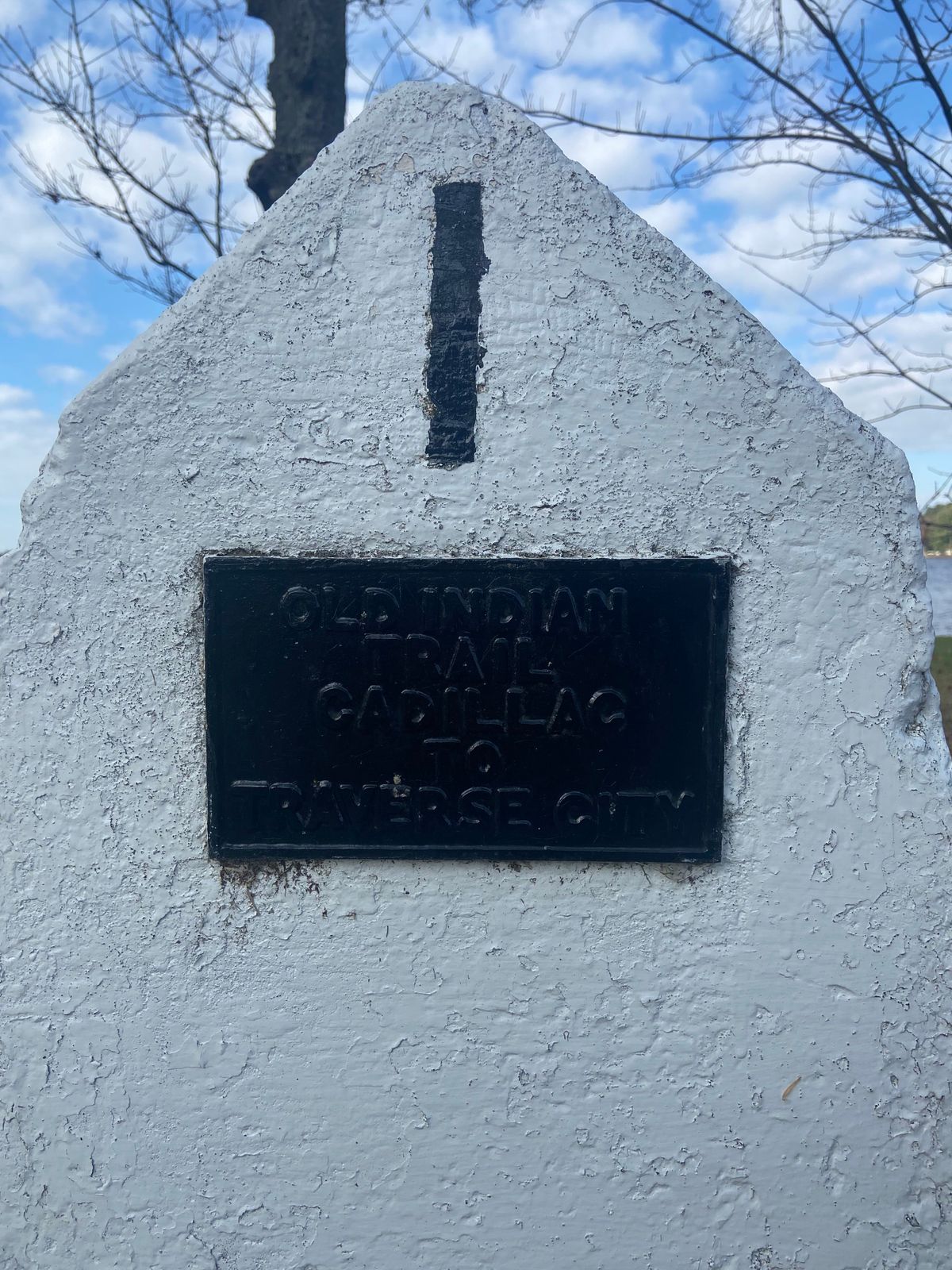
This trail was used by the Anishnaabe people in the 1200s. They later formed into the Three Fires, consisting of the Ojibwe, Odawa and Potawatomi Tribes. Today, the trail is marked by 33 numbered stone slabs. All but one are situated along modern roadways so they can be seen by driving the scenic 55-mile tour route that follows the trail. The vistas over the Manistee River valley can be particularly impressive along the way.
These handsome stone markers present a unique and identifiable perspective on the Native American history of the region, by pinpointing a trade and transportation corridor that existed many centuries before Europeans settled in the area. It is also interesting to see how closely some parts of the trail parallel with the major roadways of today.
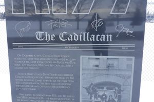
Demarcation of this historic route began in the 1940s when a local farmer named Milo Petoskey Crosby placed 14 of the stone markers along the southern portion of the trail, running from Lake Mitchell in Cadillac north to the Manistee River. He spent years researching the history of the trail and walking the area in order to map it out.
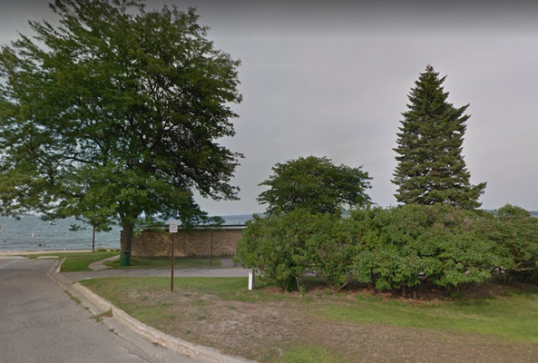
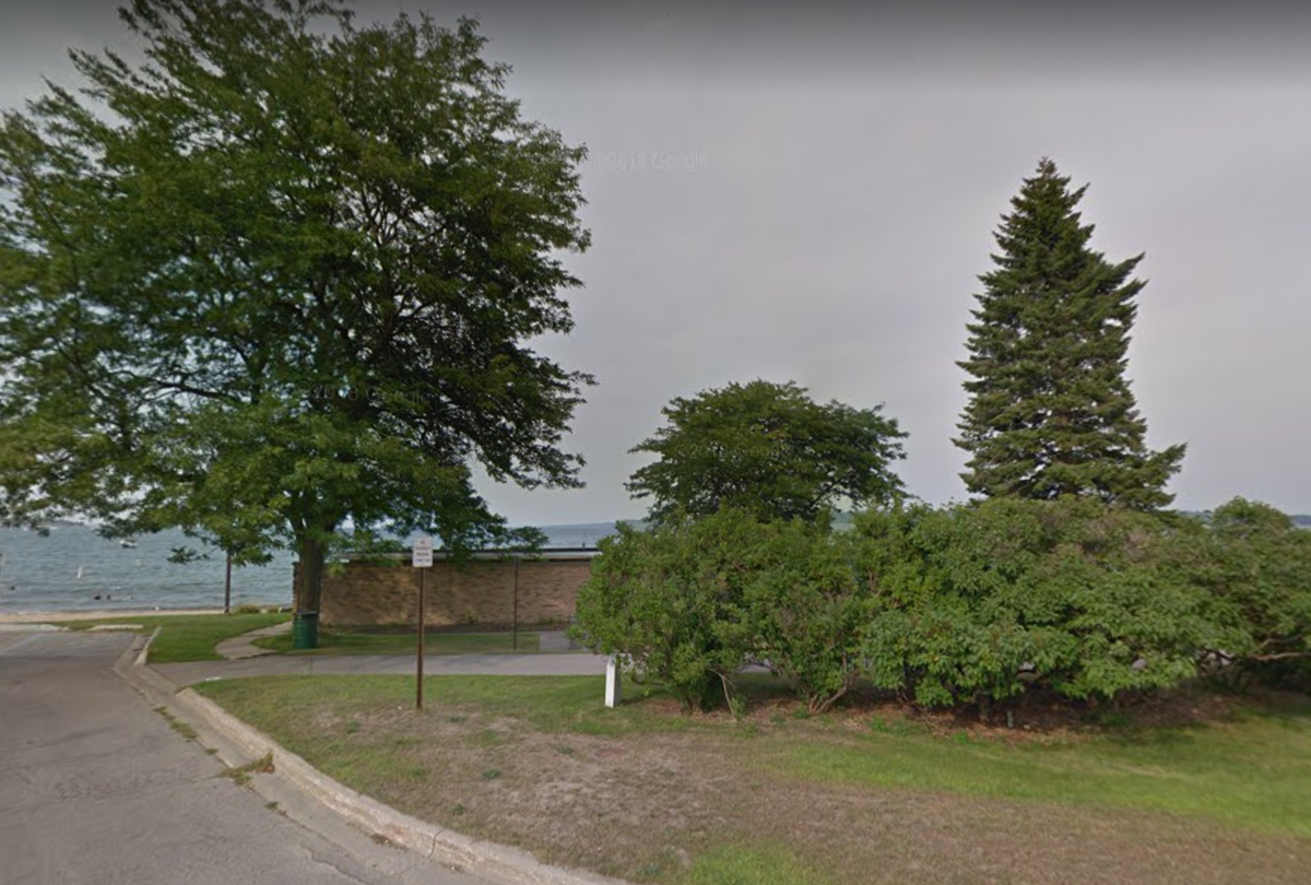
Later, five more markers were added by local residents James Comp and Ed Babcock, who picked up the torch after Crosby. In 1987, the final 14 stone markers were installed northward to the trail's terminus at West End Beach in Traverse City. These were placed by the Little Traverse Bay Bands of Odawa Indians and the Grand Traverse Sesquicentennial group.
Related Tags
Know Before You Go
Trespassing onto private property along the tour route is prohibited. Road conditions along the Old Indian Trail can vary, as some of the roads are unpaved. The map coordinates above point to marker #1. The full route can be seen here.
Community Contributors
Added By
Published
January 18, 2019