


About
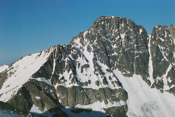
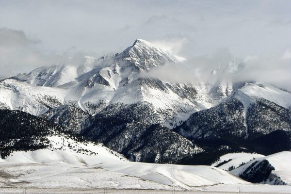
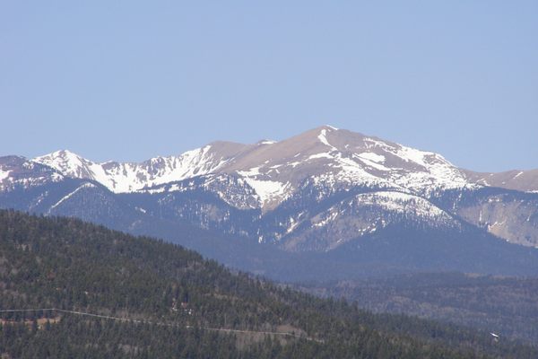
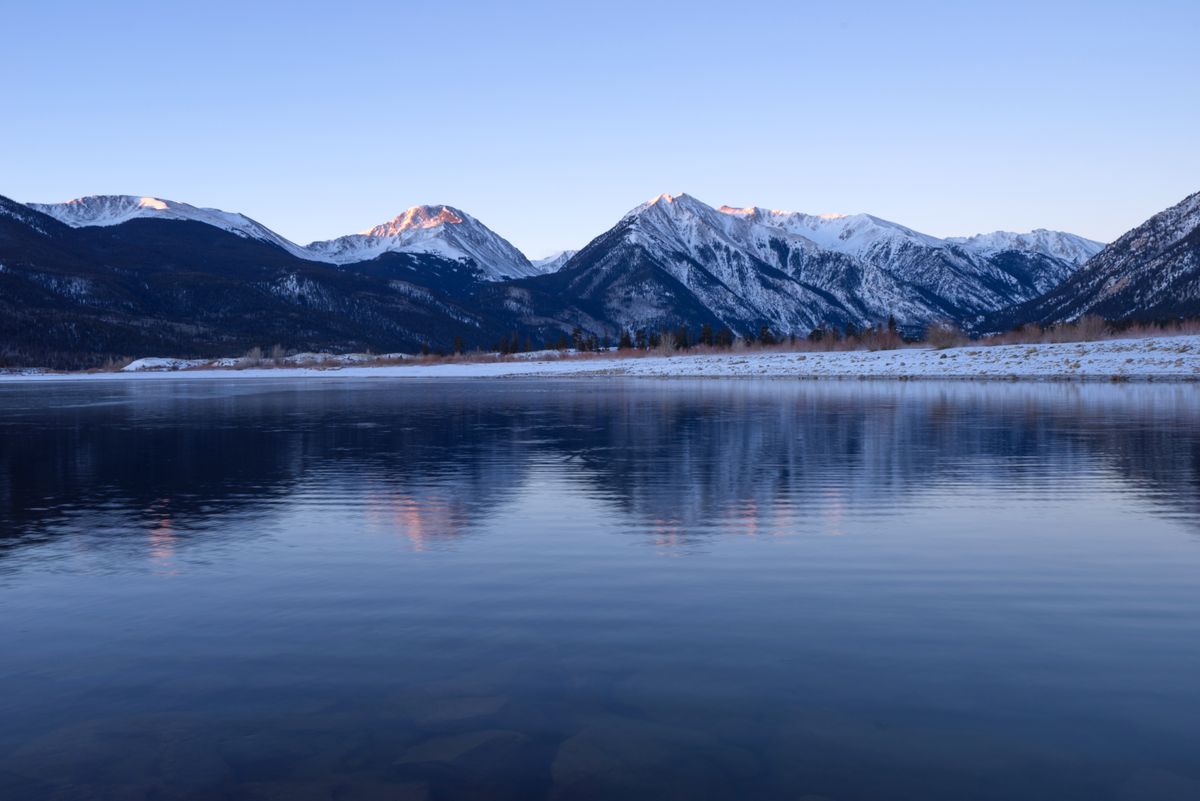
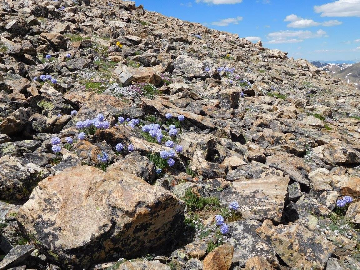
The highest point in Colorado and the Rocky Mountains, Mount Elbert at 14,440 feet above sea level, can be a straightforward hike. Just be aware of altitude sickness and afternoon lightning, and maybe supporters of another nearby mountain.
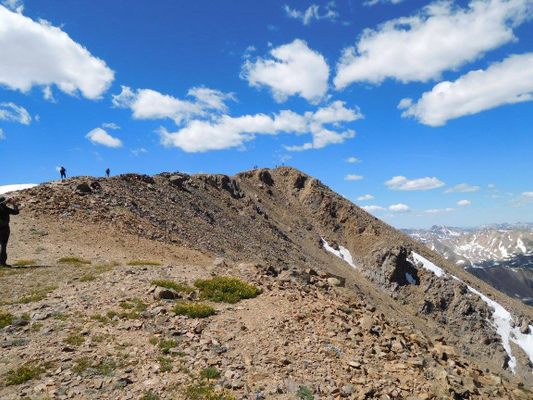
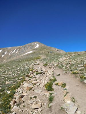
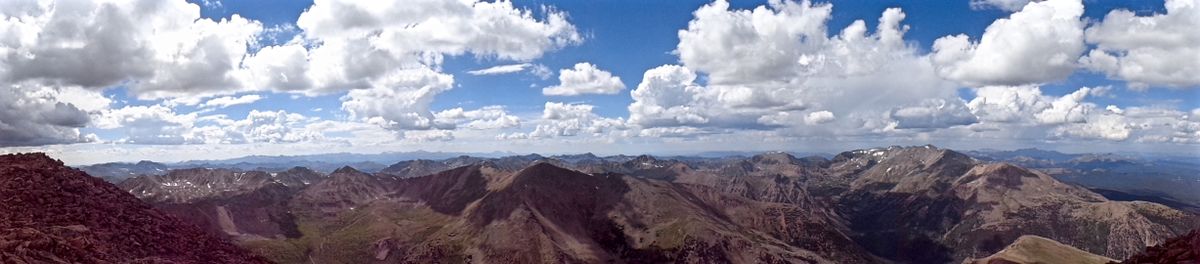
Rising above all others in the Rocky Mountains, and the second-highest peak in the continental United States, the ascent up Mount Elbert on its simplest route can be a moderate four-mile hike to the summit. In the 1970s, supporters of the second-highest mountain in the Rockies, the nearby Mount Massive at just 12 feet shorter, would pile rocks on a cairn at the summit to bring it above Elbert because it is a more "deserving" peak with a much harder climb, a 7.8-mile scramble gaining over 4,500 vertical feet. Elbert supporters, however, would climb Massive and tear the cairn down.
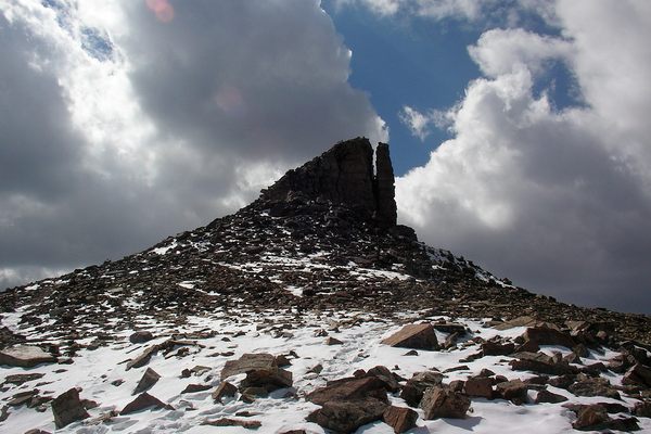
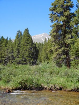
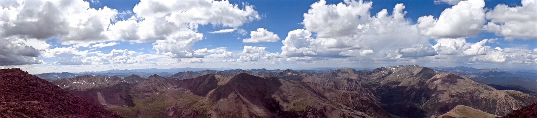
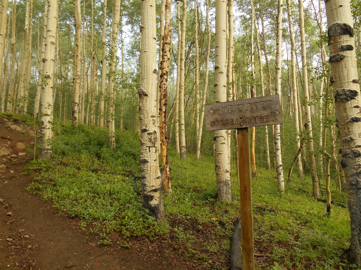
The standard route up this mountain, the South Mount Elbert Trail, is a gentle gradient through the San Isabel National Forest, filled with pines and aspen until the tree line. While the hike may be gentle, there are other concerns. Gray clouds with lightning develop near the peak almost daily from July through mid-August. If clouds develop, turn around, for the highest point in the Rockies is not the place to be when lightning strikes. Also, if a hiker is not used to the altitude and lower concentration of oxygen, the hiker may get a splitting headache that aspirin will not alleviate, and that could lead to a high altitude pulmonary or cerebral edema, which is fatal when no emergency services are available for miles. If a headache occurs and gets worse as one ascends, turn around.
Related Tags
Know Before You Go
From Twin Lakes, Colorado, take Lake County Route 24 to the singed parking lot for the South Mt. Elbert Trailhead and hike 5 miles to the summit. Alternatively, with a 4WD vehicle, turn left at this trailhead onto road 125B and follow it for 2 miles to clearings. Park and take the Colorado Trail, signed 125C, to its junction with the South Mt. Elbert Trail. Hike over 3 miles to the summit.
Community Contributors
Added By
Published
July 23, 2014