About
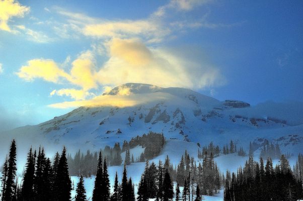
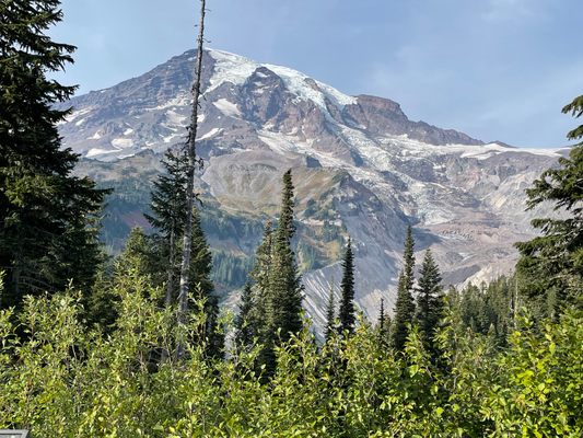
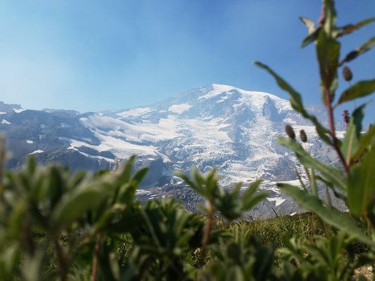
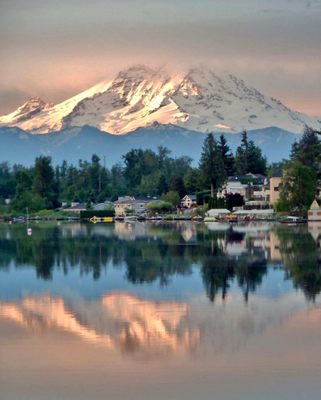
Over twenty named glaciers cover Mount Rainier, the highest point in Washington state at 14,411 feet above sea level and a conspicuous landmark in the western part of the state.
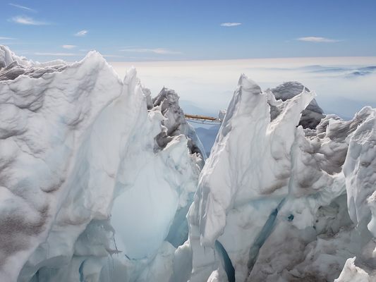
Many routes and route variations await climbers of Mount Rainier, the majestic stratovolcano that can be seen from Seattle. It is the most glaciated mountain in the continental United States, and climbers may use these glaciers to ascend to its peak, known as Columbia Crest, on the west side of the rim of the caldera. The standard route to the top, though, is the seven-mile non-technical snow climb called Disappointment Cleaver.
Climbers on this route start from the Paradise parking lot and hike to the popular Camp Muir, a shelter at just above 10,000 feet. While the shelter does hold 25 people, slots cannot be reserved here. It is first-come, first-served, and is a popular day hike destination as well as a base for climbers who wish to make the summit, for snagging a spot in the shelter means climbers will not have to use a tent.
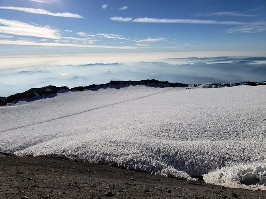
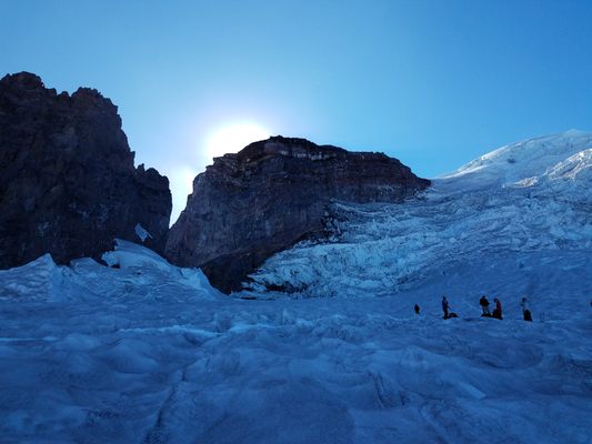
Beyond Camp Muir are the Cowlitz, Ingraham, and Emmons Glaciers and the final push toward the summit. Ropes may be in place to assist climbers on the steeper sections and wands marking the main route, which could easily be lost on the ice and snow. This route reaches the east side of the rim, so climb around the rim, where geothermal heat keeps the rock free of snow, to the highest point of Washington and the culmination of one of the toughest climbs in the United States.
Related Tags
Know Before You Go
From the Nisqually Entrace to Rainier National Park, drive to the Paradise parking lot and visitor's center. Hike and snow climb 7 miles to the summit.
Community Contributors
Added By
Published
August 8, 2014
