


About
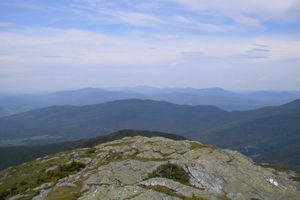
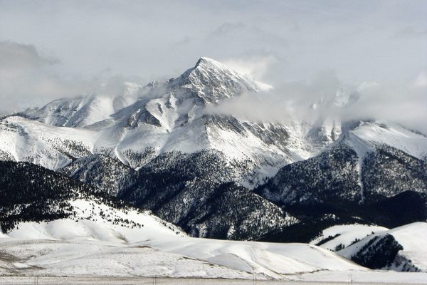
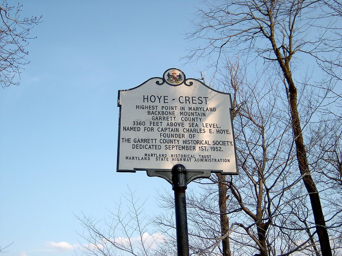
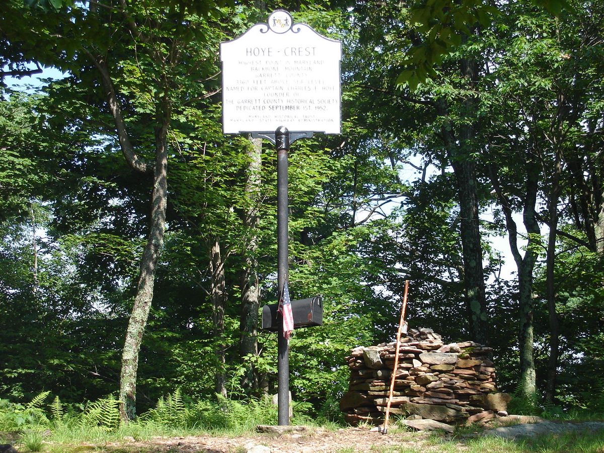
If you want to reach Hoye-Crest on Backbone Mountain, which at 3,360 feet above sea level is the highest point in the state of Maryland, you'll actually have to start in West Virginia.
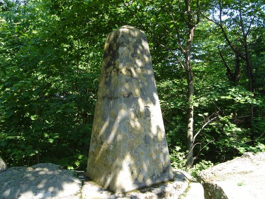
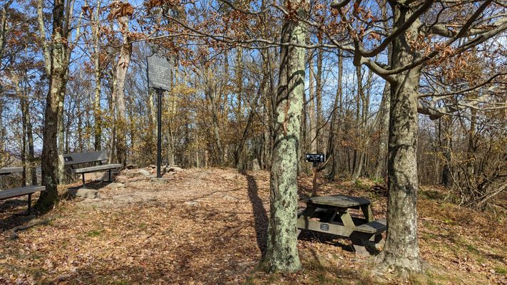
The trail to the natural summit actually begins on logging roads off of Route 219 south of the picturesque hamlet of Silver Lake, West Virginia. The hike then continues for one mile across the Maryland-West Virginia state line to the high point's viewing area. The summit also holds a Maryland historical marker, a picnic table, and even a mailbox which contains certificates for climbers to take. A short, rocky trail off of the main trail also leads to a small obelisk that marks the state line.
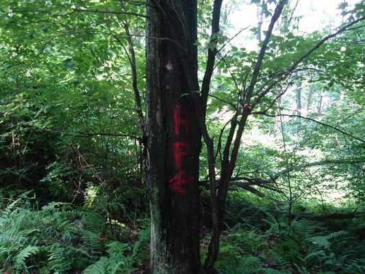
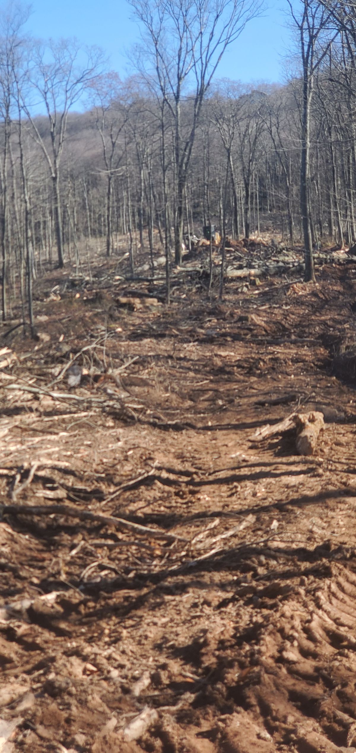
Logging is frequent in the surrounding woods and the summit itself is owned by a coal company, but thanks to the efforts of Gene and Lillian Elliott of Oakland and their friends, the trail is kept clear and marked with bright orange blazes so hikers won't get lost on their journey between the two states.
Related Tags
Know Before You Go
From the junction of Routes 219 and 24 in Silver Lake, WV, go south on 219 for 1.1 miles. Look for orange blazes and a "Maryland Highpoint" sign in the trees. Park off the road and follow the blazed trail for 1 mile to the summit.
Community Contributors
Added By
Published
May 29, 2014