


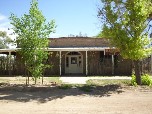
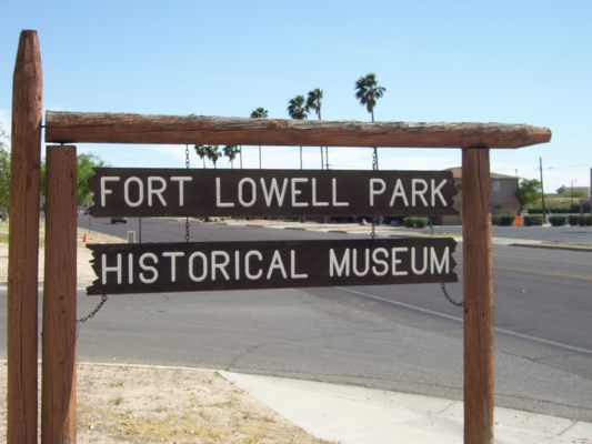


About
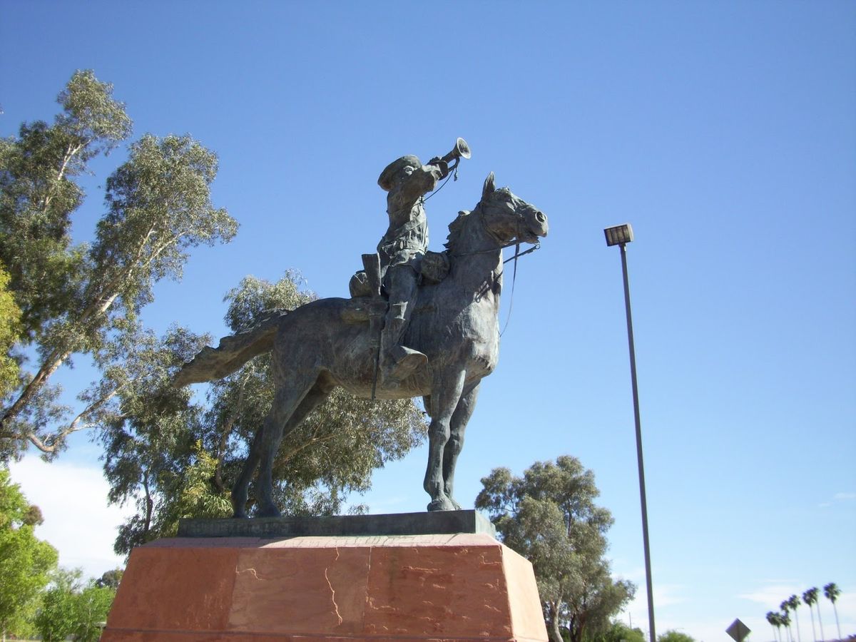
Post Tucson was established near the old Tucson Presidio by the California Column after the Battle of Picacho Peak in 1862. It was abandoned in 1864, but reestablished in 1865 and renamed Camp Lowell in 1866. By 1873, the camp had been moved seven miles east to the confluence of Tanque Verde and Pantano creeks for sanitary reasons. The name of the camp was changed to Fort Lowell in 1879.
The fort played a pivotal role during the Apache Wars. It was primarily used as a supply and support depot for outlying military posts.
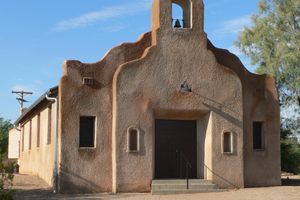
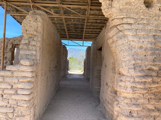
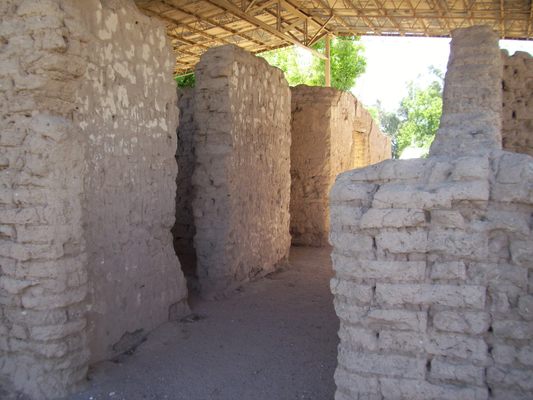
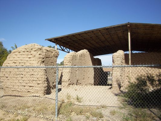
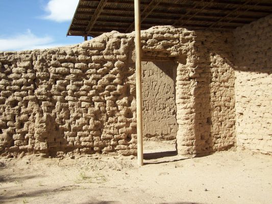
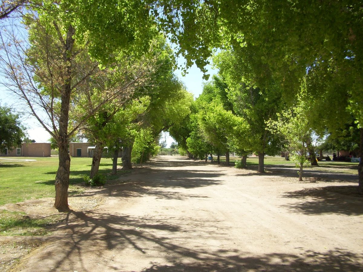
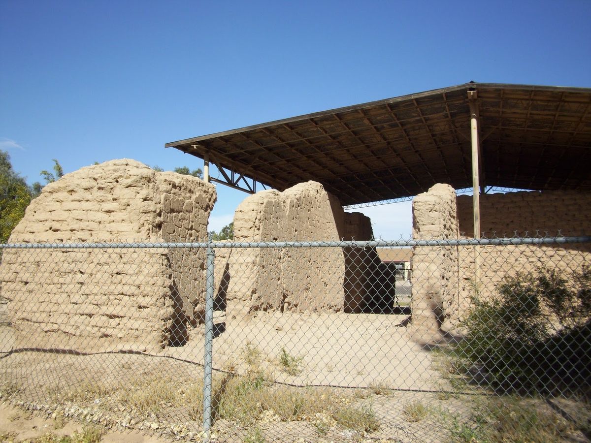
At its peak, the fort contained around 30 adobe buildings surrounding a large parade ground. The buildings included a commissary, trading store, guardhouse, barracks, and other buildings. One of the lanes created for the fort included several cottonwood trees and is known as Cottonwood Lane to this day.
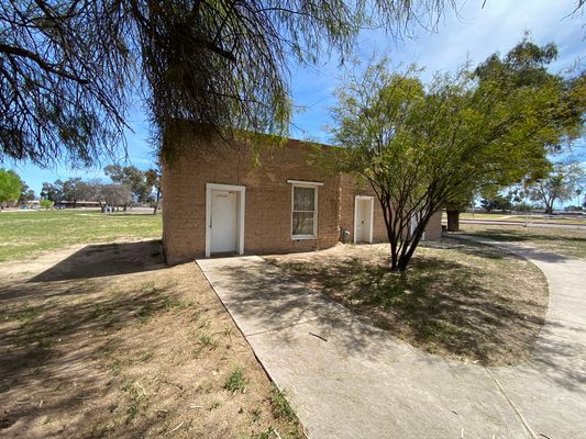
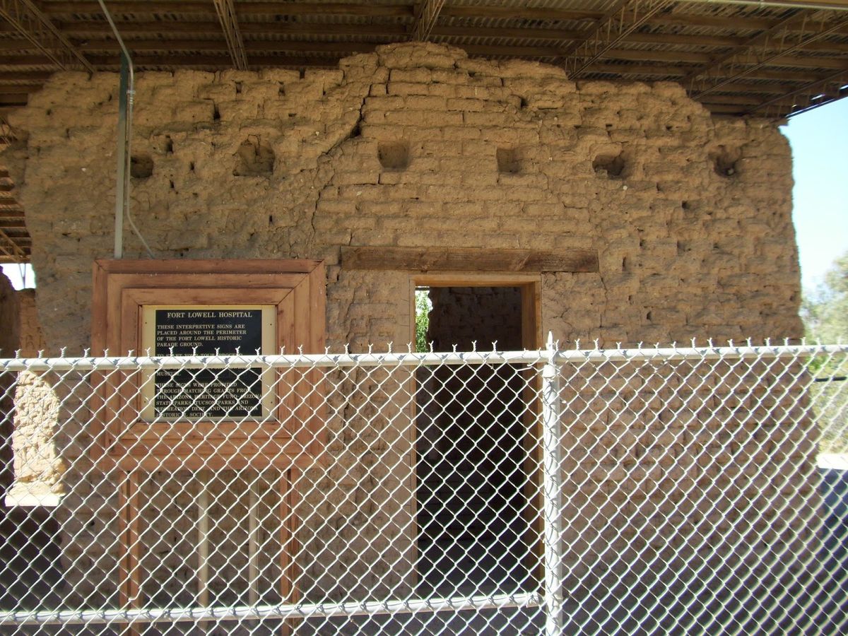
One of the more intact buildings that still exist on the site is the former hospital. One of the most prominent members of the hospital's staff was Walter Reed.
The fort was decommissioned in 1891 and was largely dismantled by people in the surrounding area. In 1945, with the assistance of Carlos Ronstadt (an uncle to Linda Ronstadt), local Boy Scout troops obtained 40 acres of the fort grounds to prevent developers from destroying what remained. The fort was eventually donated to Pima County when the scouts could no longer afford maintenance costs.
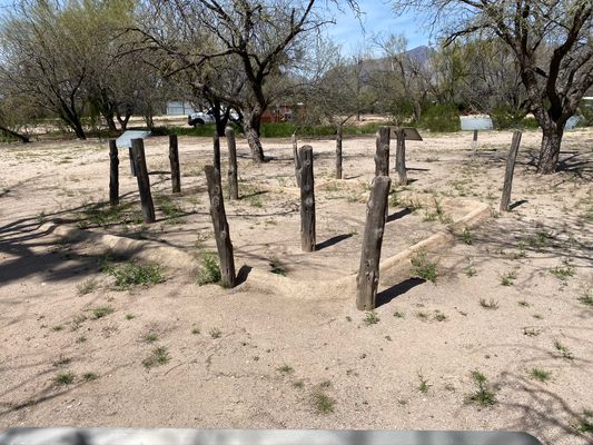
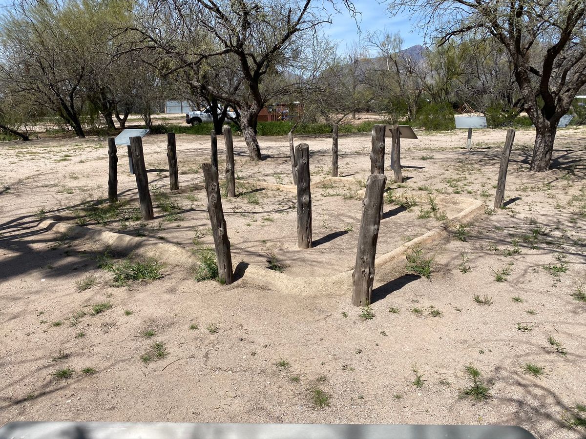
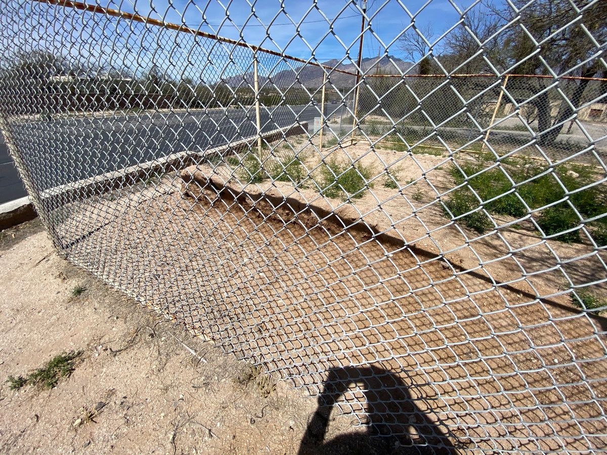
The location of the fort and the availability of a constant water source made the area attractive even during the formational years of Tucson. The entire region around the fort was a large Hohokam village that existed in the area from year 900 to about 1200.
One pit house and several middens have been excavated in the area. The outlines of the pit house and informational signs around the site provide insight into life during this period.
Related Tags
Know Before You Go
The park is easy to access from North Craycroft Road in the northeast part of Tucson. It's a public park with ample parking and normal park amenities. Water and public restrooms are available and open.
Published
April 1, 2020