About
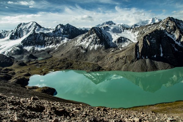
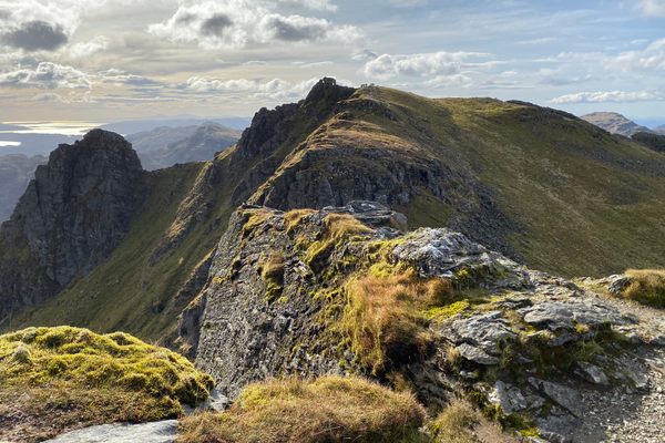
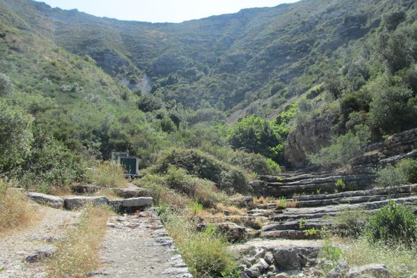
Located at the beginning of the Zêzere Glacier Valley, Covão da Ametade is surrounded by three high peaks. They are known as the Three Cântaros, or pitchers. There's the Cântaro Raso, the Cântaro Magro, and the Cântaro Gordo. It is a popular place for hikers, mountaineers, and rock climbers.
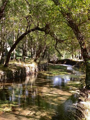
This stream of water is the starting point of the Zêzere River. It is surrounded by silver beech trees, which are reflected in the water. This makes it a very photogenic spot as well.
Covão da Ametade is one of the remnants of the last ice age. Known as cirques, or covões in Portuguese, these amphitheater-shaped depressions are the product of glacial erosion. Covão da Ametade is the result of ice and glacial debris that accumulated in the head of the Zêzere valley. Its poor drainage let to an accumulation of sediment that now supports the growth of silver beeches and other vegetation.
Once parked, you hear the water streaming a short walk away from the parking. You're in the middle of the Serra da Estrela, so quite high in the mountains. There's a large park dotted with picnic benches and barbecue pits. Covão d'Ametade connects to Manteigas, so you can hike there. The distance to Manteigas is around 10.2 kilometers.
Related Tags
Know Before You Go
There's a small parking area on the N338 (40.327997206351164, -7.586769609507263), from here follow the signs that say [Cântaros] and [Lagoas] to the picnic area. Please note that since the place is high up, it is not accessible when there's snowfall.
Portugal: A Culinary Adventure from Porto to Lisbon
Explore Portugal through food, from the cities to the seaside.
Book NowCommunity Contributors
Added By
Published
June 1, 2021
Sources
- https://www.outdooractive.com/en/route/long-distance-hiking/the-wild-start-covao-d-ametade-manteigas-grz-on-foot-stage-1/40040086/#dmdtab=oax-tab1
- https://www.centerofportugal.com/tour/glacial-valleys-route/
- https://www.visitcovilha.com/en/destinations/covao-da-ametade-4/
- https://www.visitmanteigas.pt/descobrir/covao-dametade/
- https://cm-manteigas.pt/diretorio/covao-dametade/


