


About
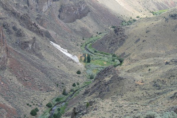
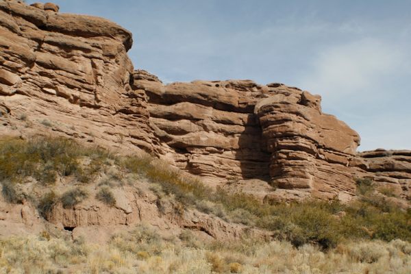
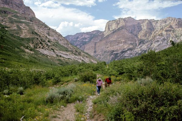
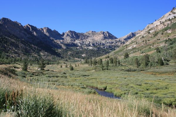
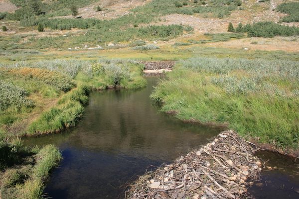
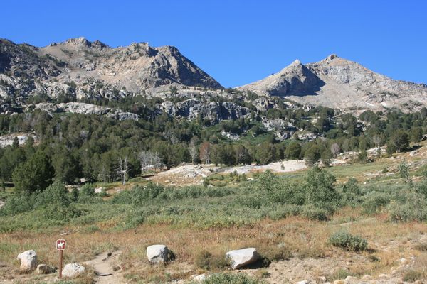
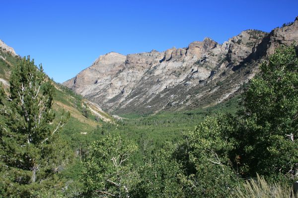
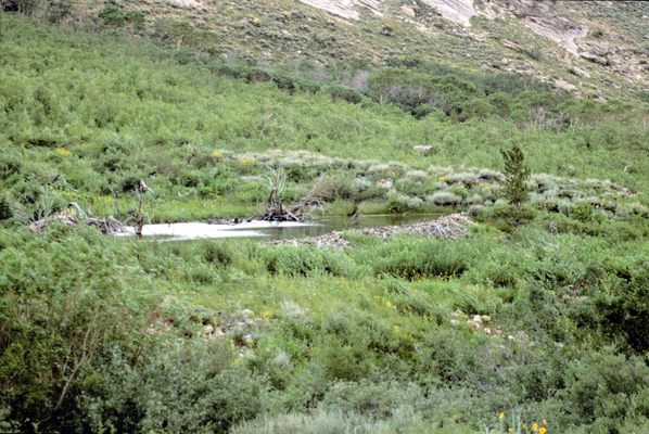
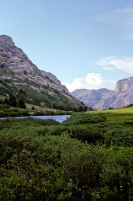
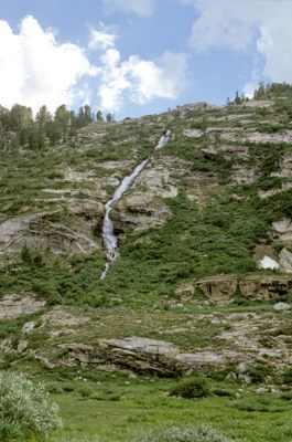
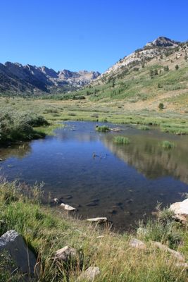
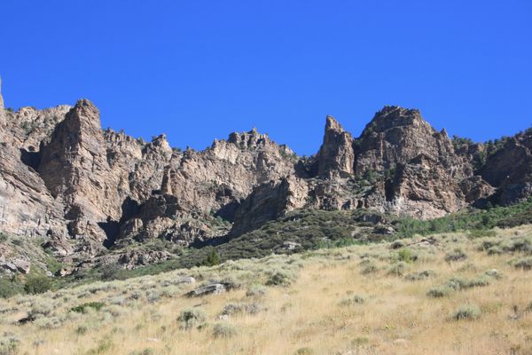
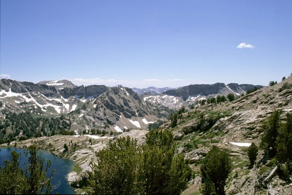
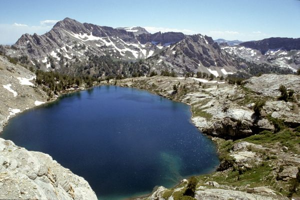
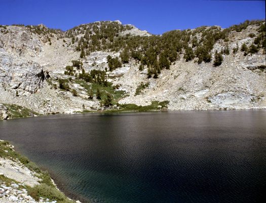
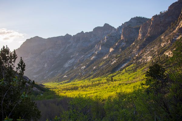
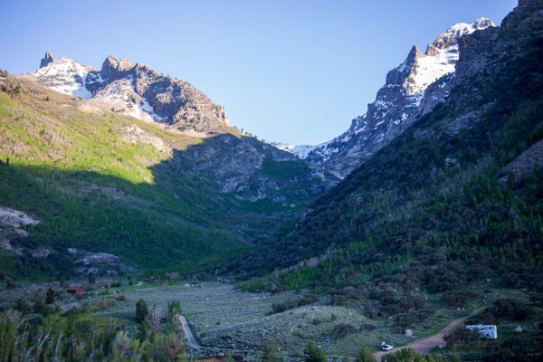
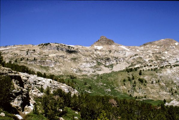
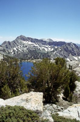
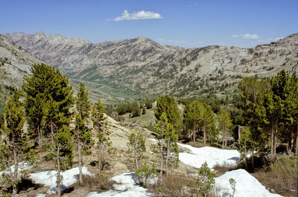
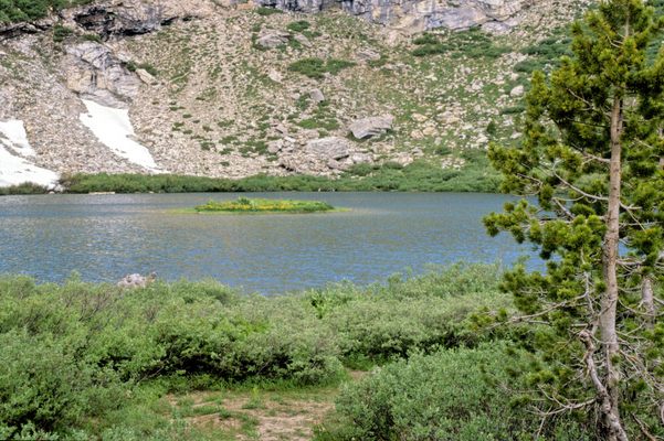
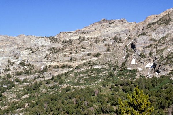
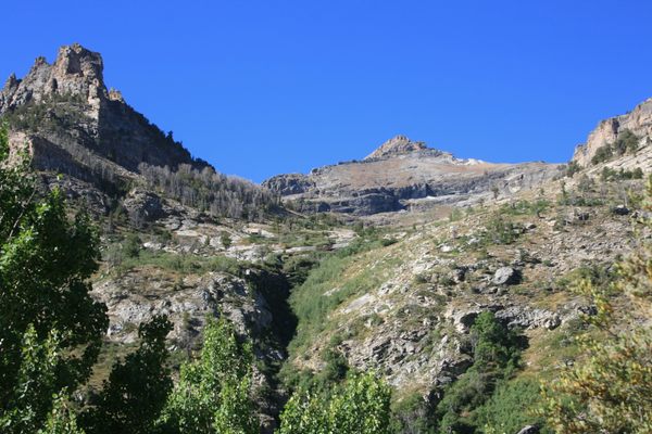
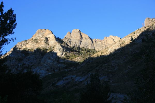
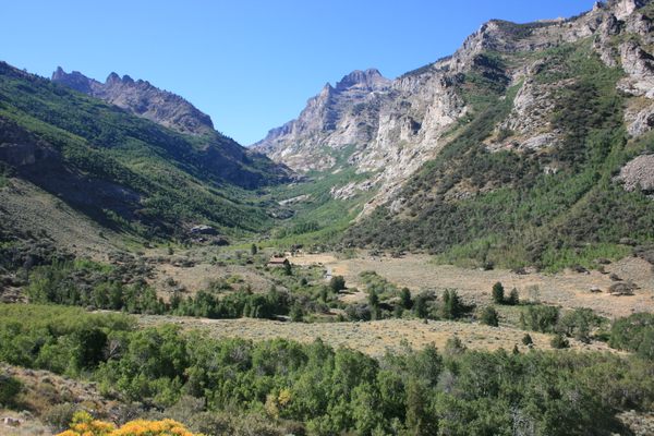
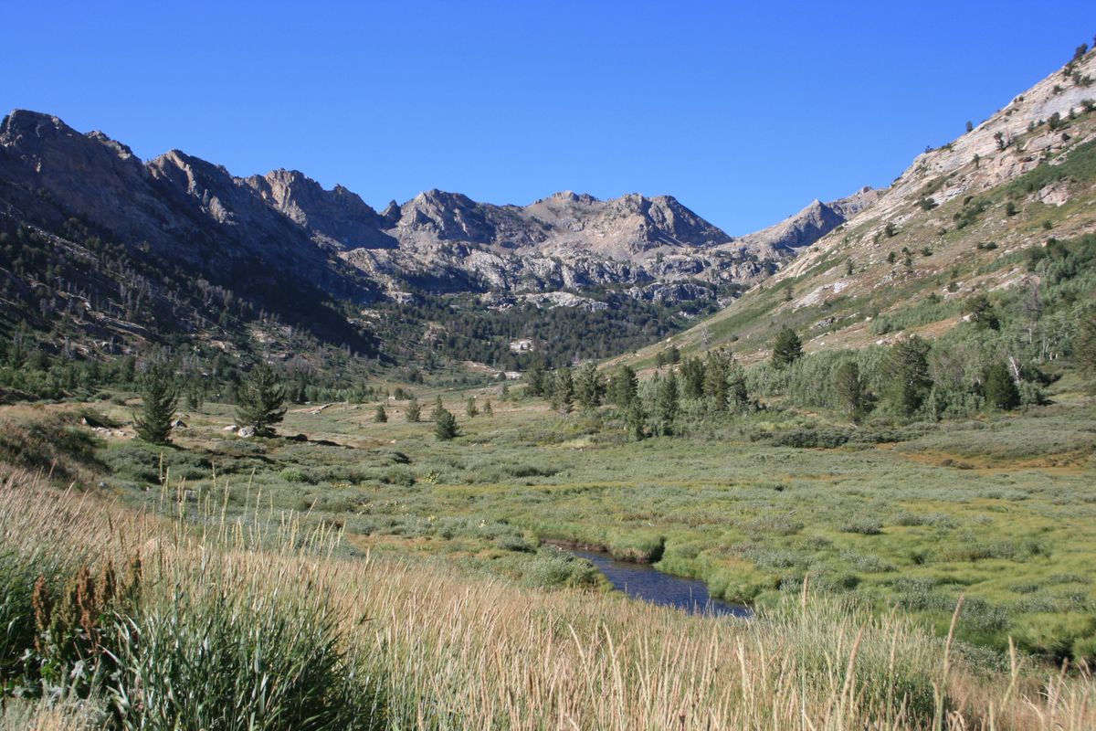
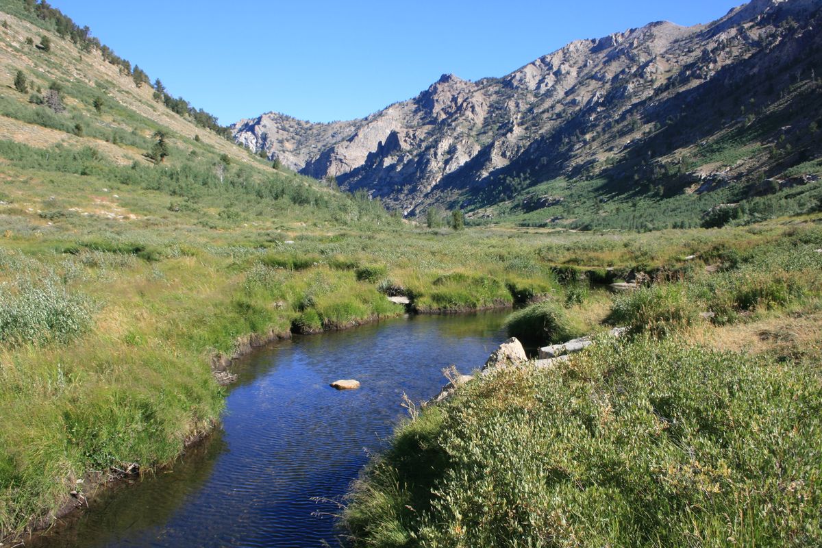
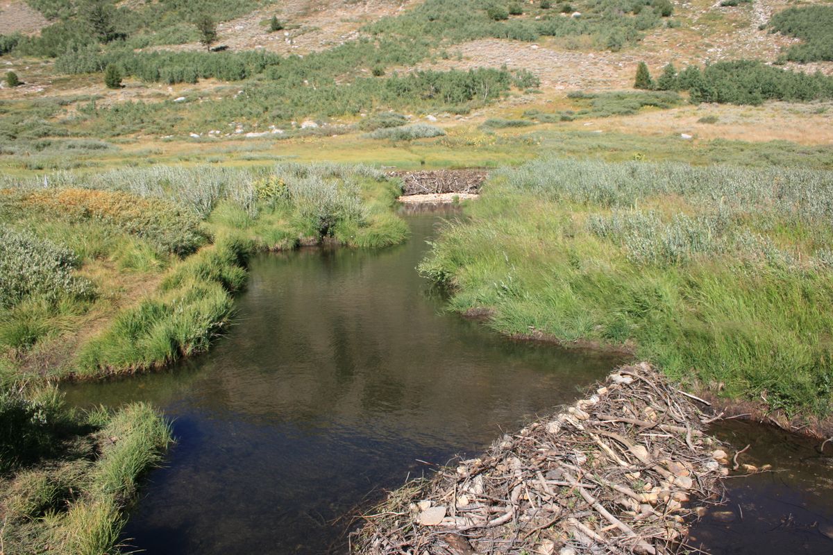
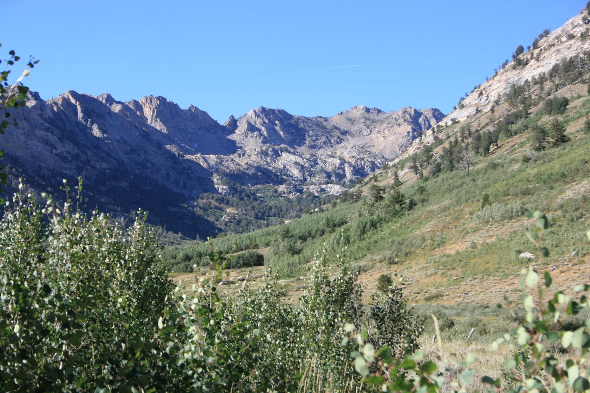
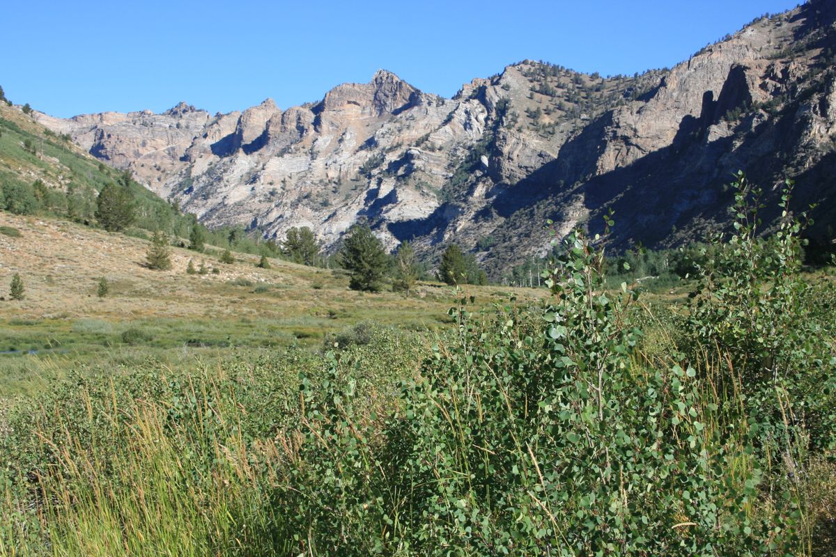
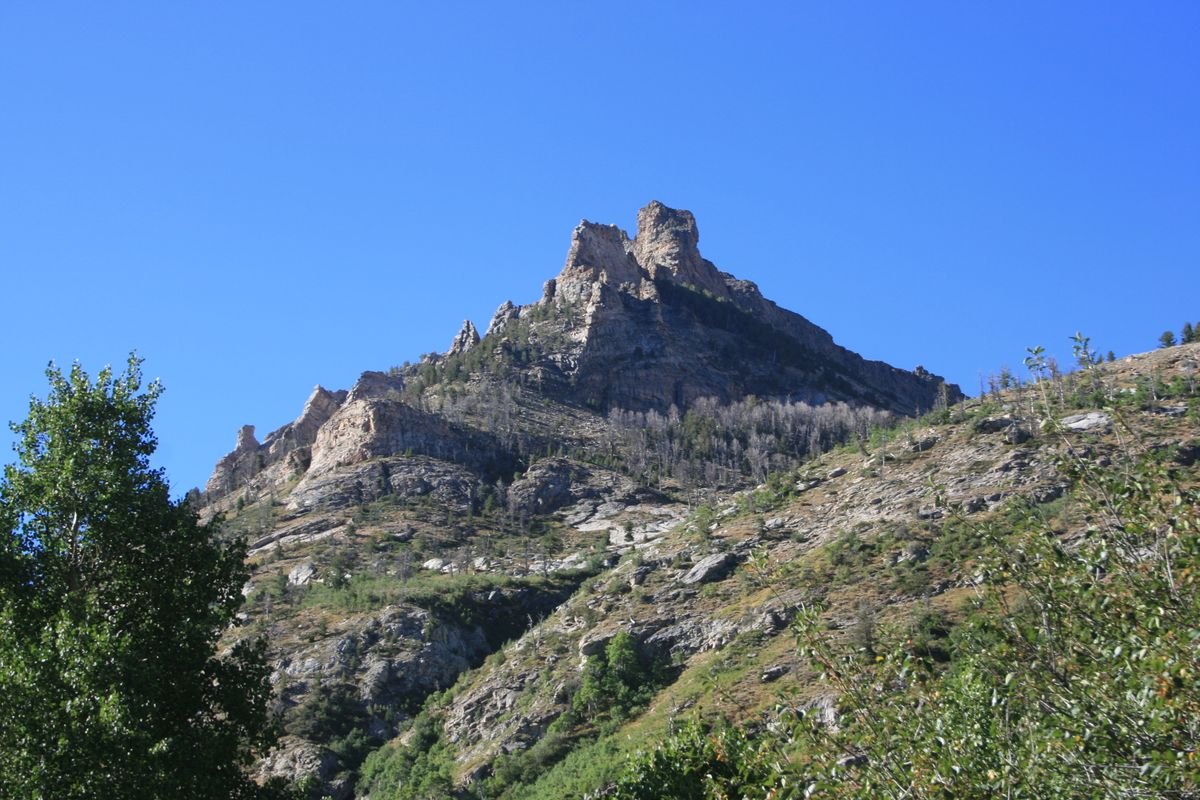
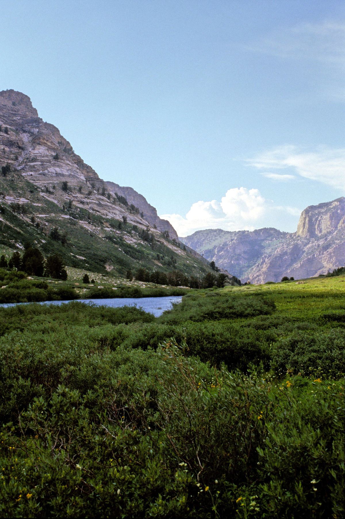
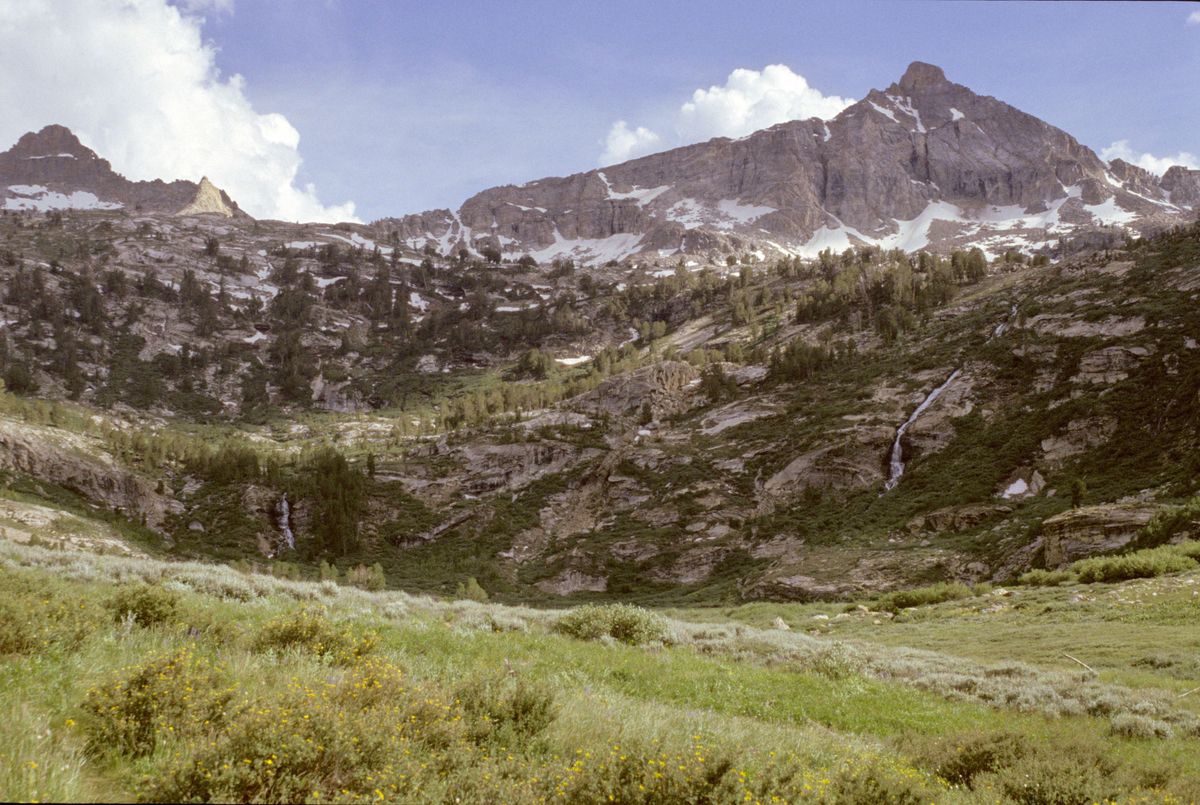
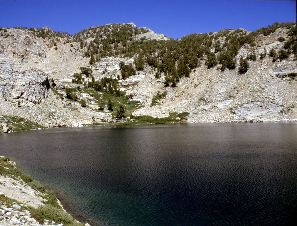
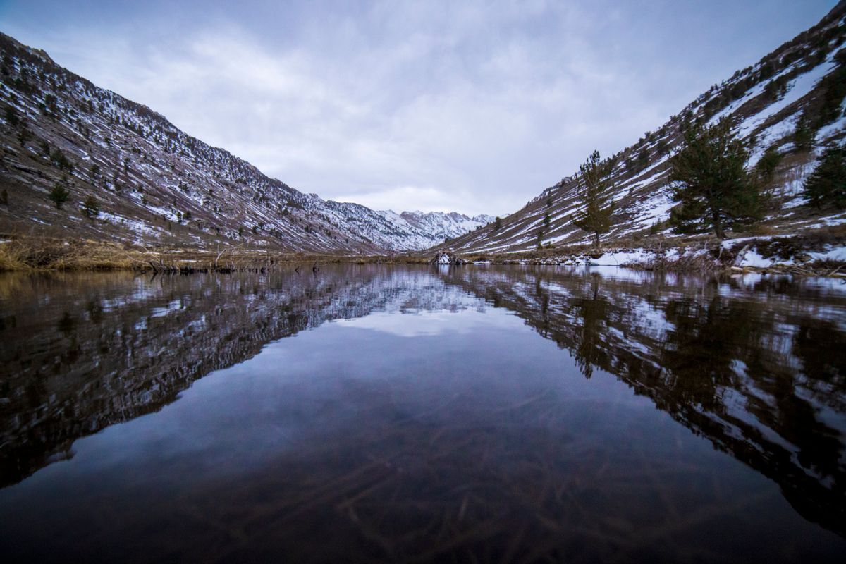
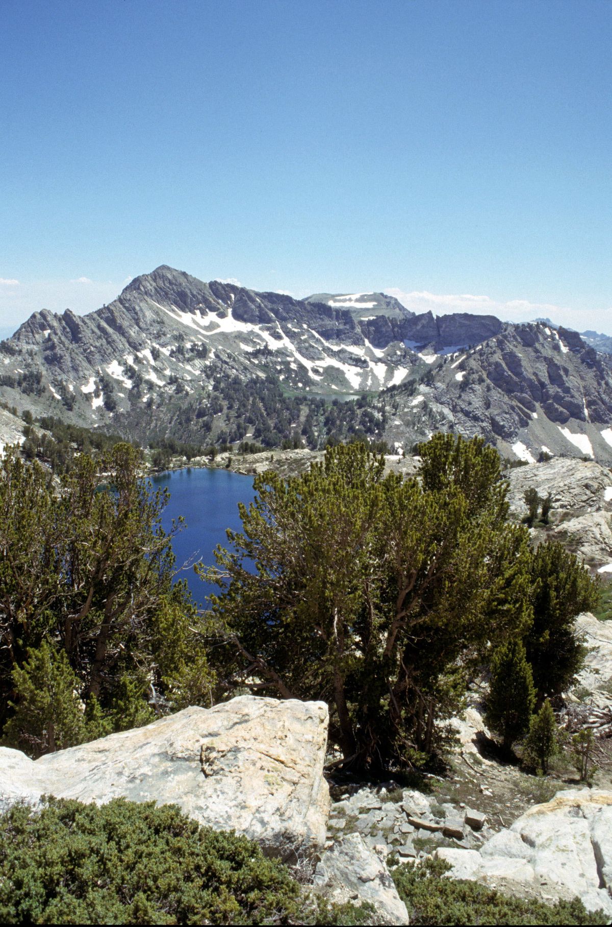
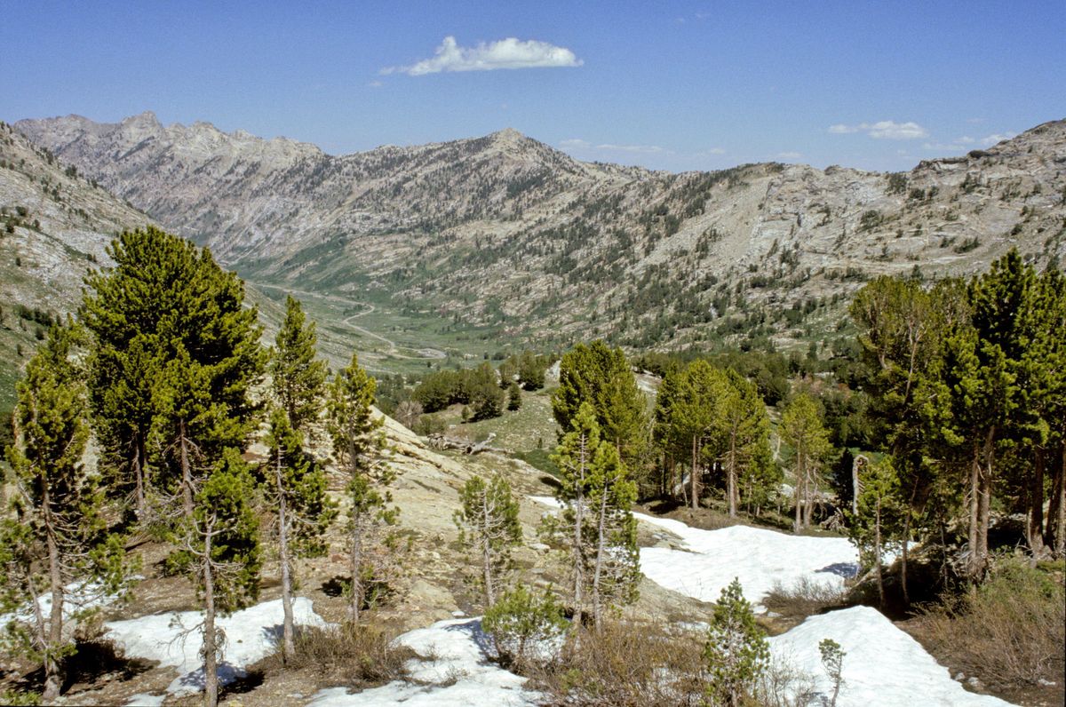
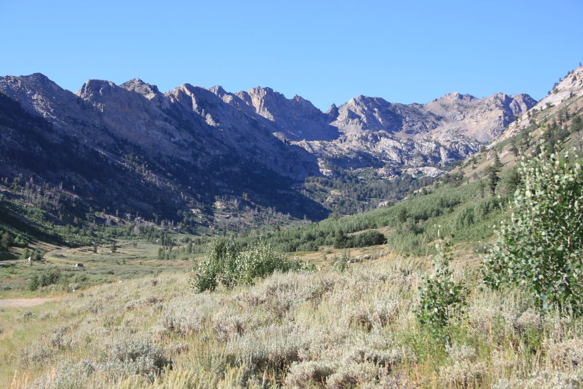
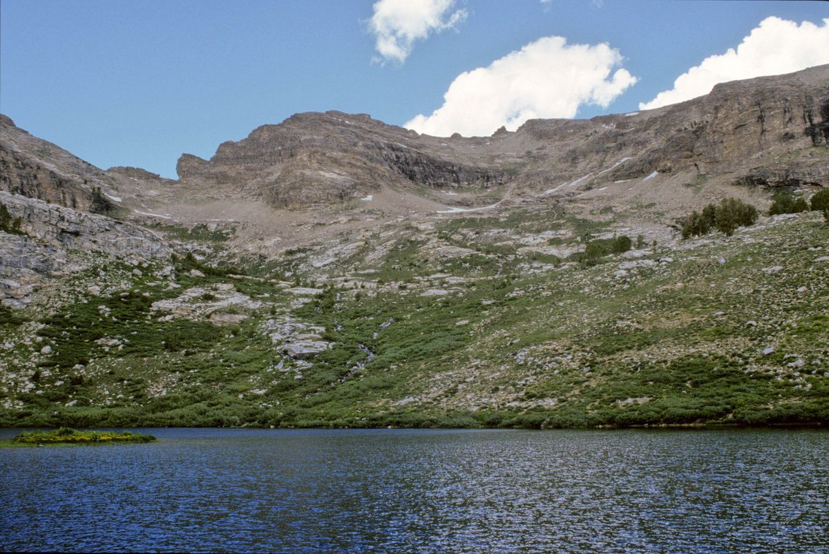
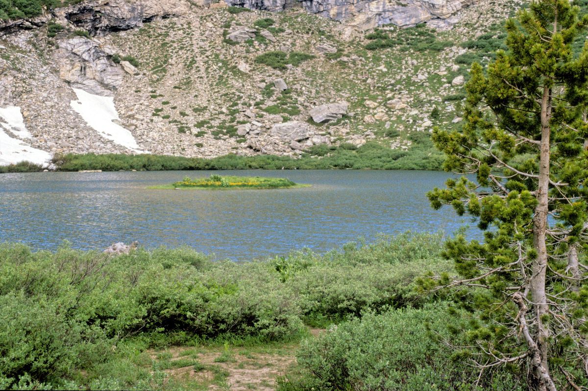
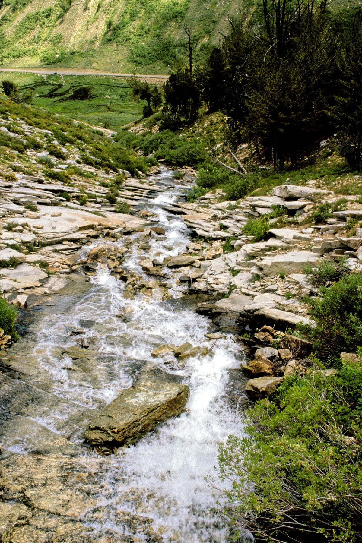
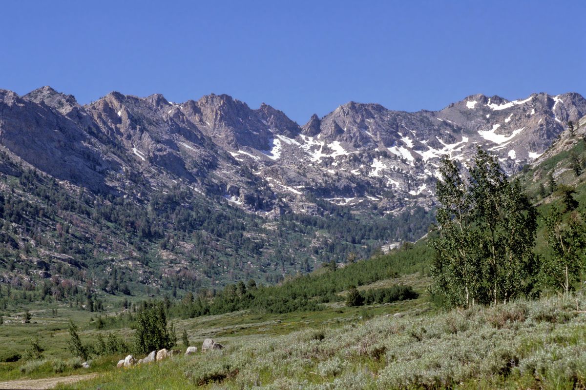
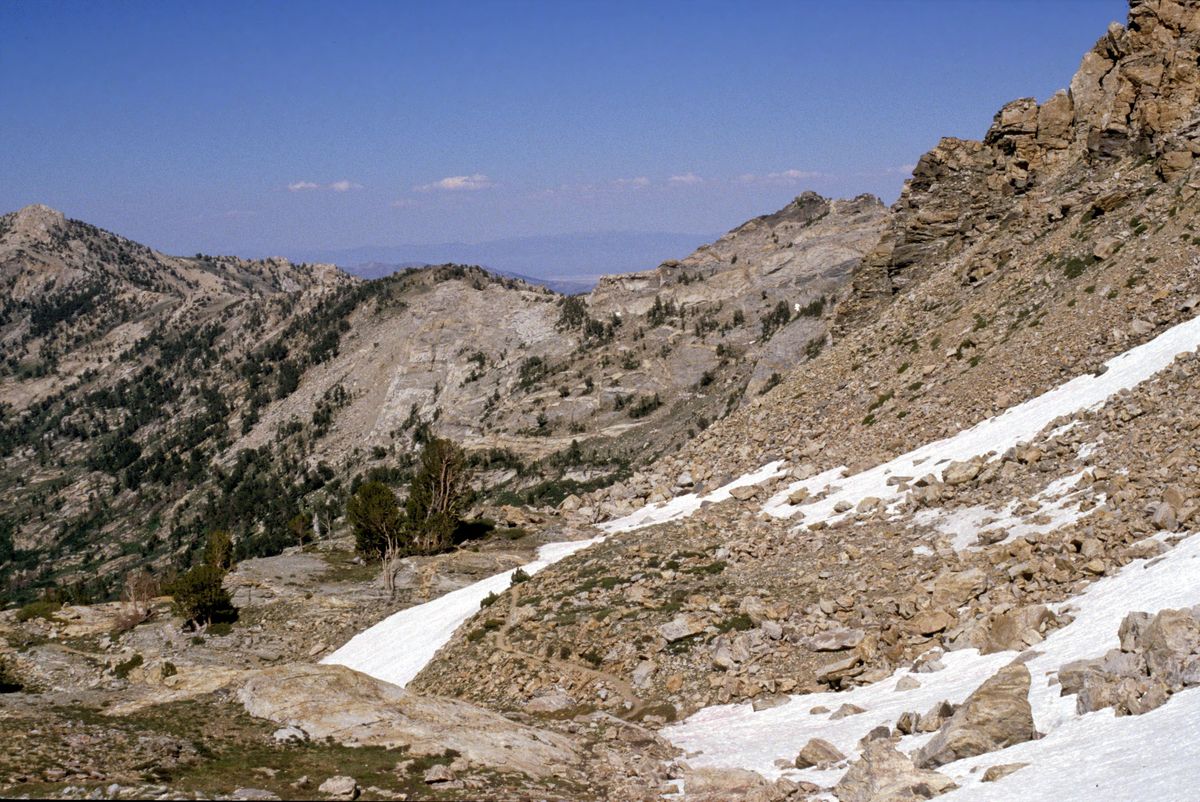
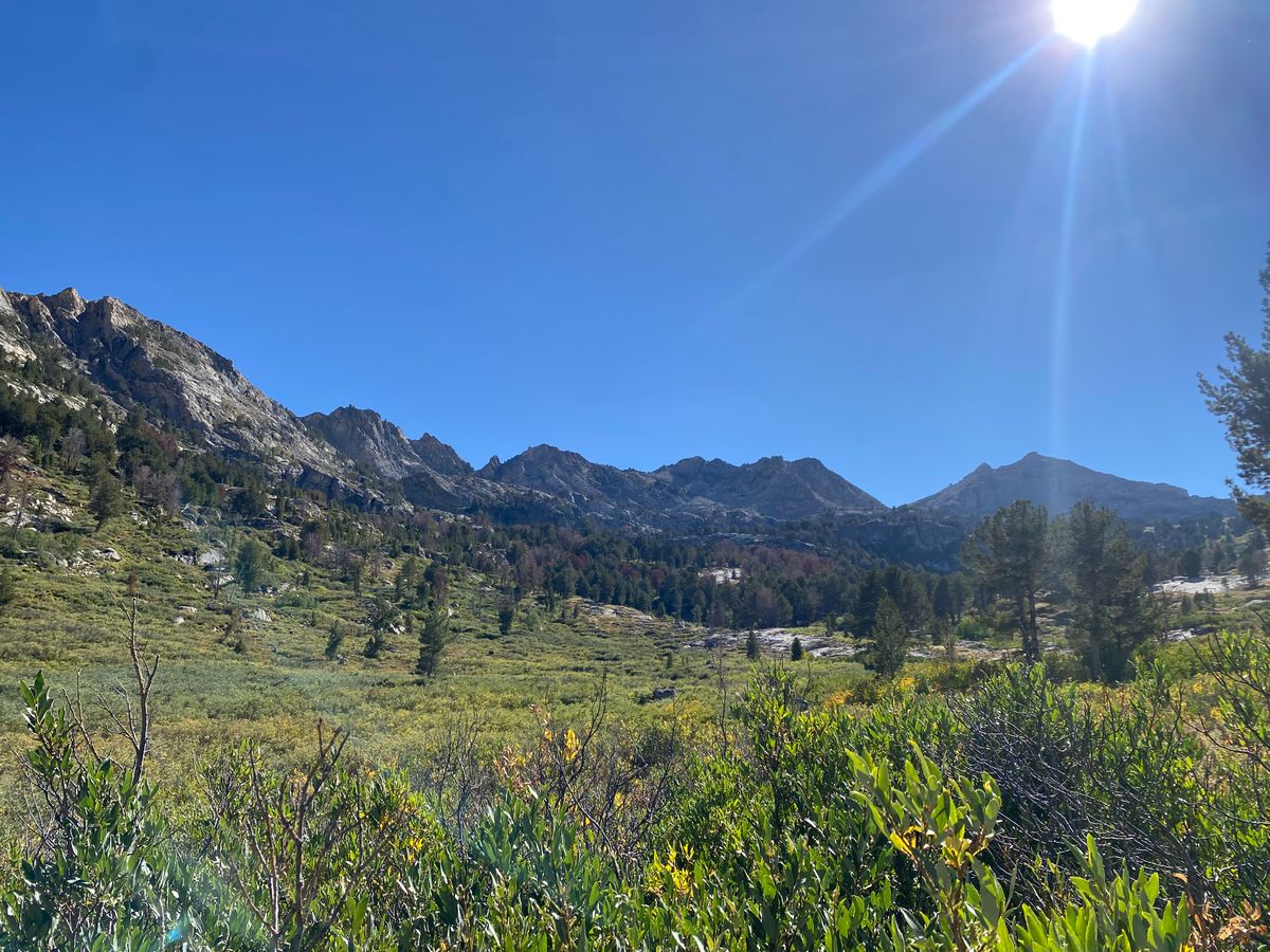
The Ruby Mountains of northeastern Nevada don't fit a number of Nevada stereotypes. They're much better watered than most other mountain ranges in the Great Basin, supporting abundant streams and even alpine lakes. The bedrock is also largely granite or metamorphic rock, very different from the volcanic and sedimentary rocks that underlie many other Nevada ranges. And they were heavily glaciated in the Pleistocene, so they have glacial landforms reminiscent of the Sierra Nevada.
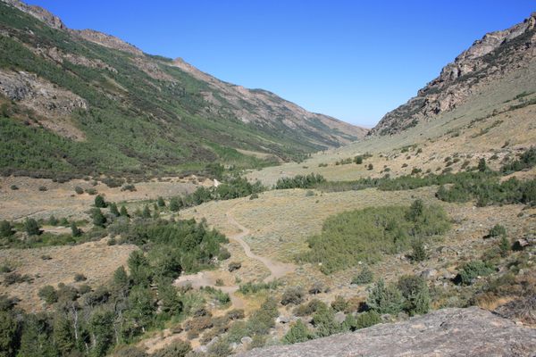
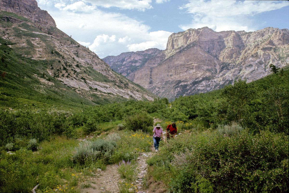
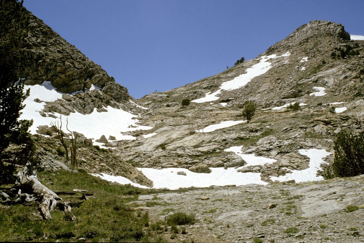
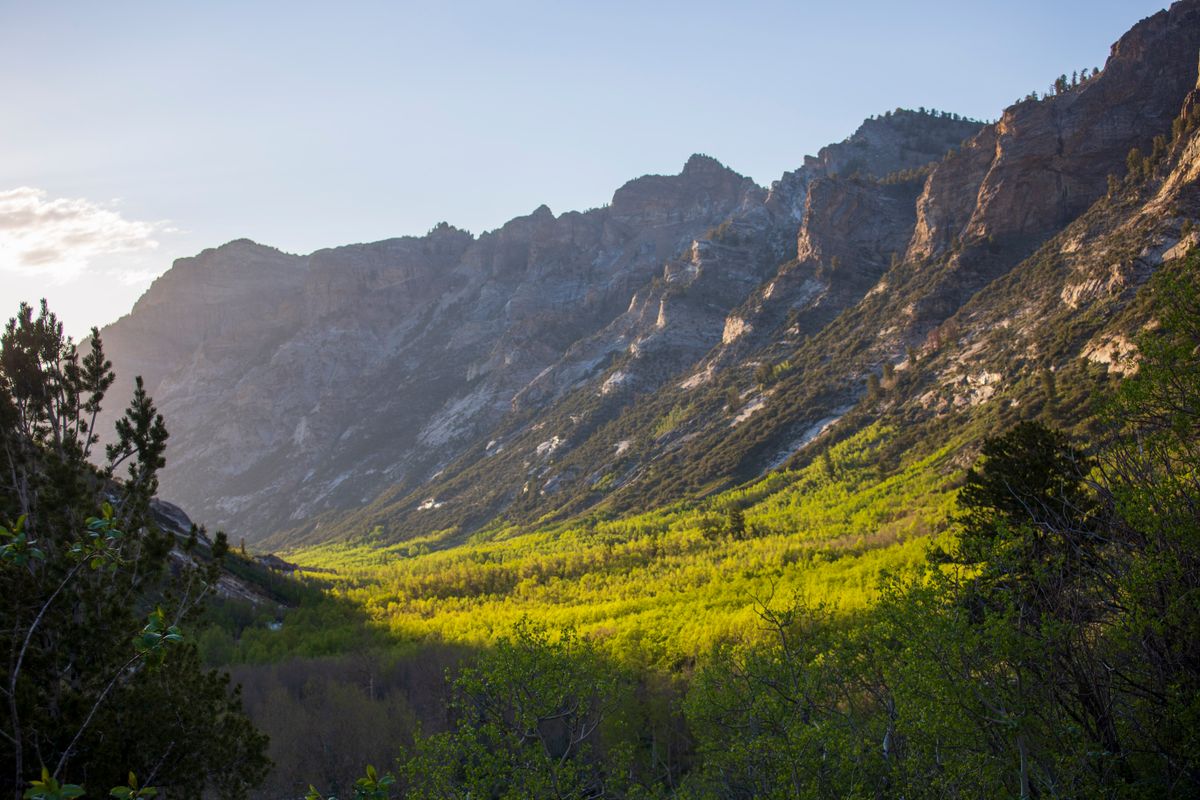
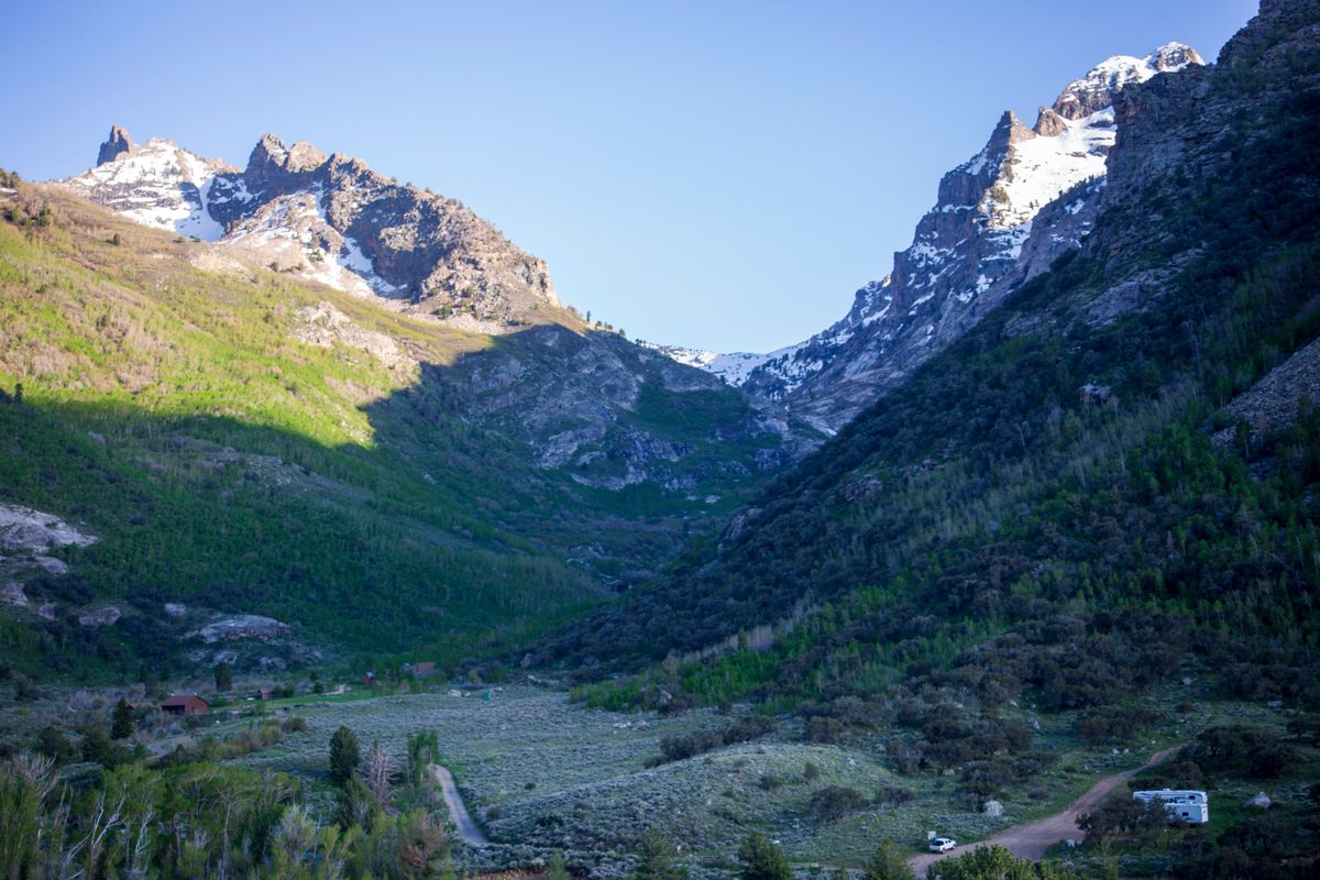
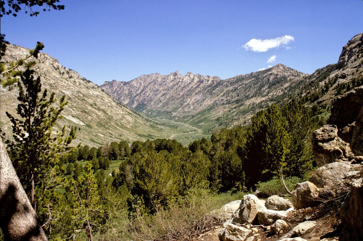
Lamoille Canyon, in particular, is often called "Nevada's Yosemite." It's a large glacial canyon that begins on the west side of the range but bends south along the range crest. A paved road runs the length of the canyon, providing access into the heart of the high country. There are several campgrounds along the road, as well as a number of trailheads. In particular, the trailhead at the end of road is the north end of the Ruby Crest trail, which (as its name implies) runs the length of the range. The trail goes over Liberty Pass, at the head of Lamoille Canyon, and then continues some 38 miles south to a trailhead at Harrison Pass. On the way it traverses the Ruby Mountain Wilderness.
Related Tags
Know Before You Go
Take Nevada State Route 227 south from Elko about 19 miles to the Lamoille Canyon Road (USFS 660) and turn right. The turnoff is about 0.7 mile before the village of Lamoille. It's a bit more than 12 miles to the end of the road.
Published
February 10, 2022