


About
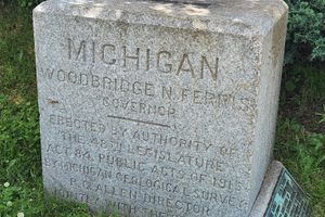
In June of 1818, James Camak, an esteemed businessman and mathematics professor from the University of Georgia, was tasked with marking the Georgia-Tennessee border with James Gaines, who was also a mathematician.
Without any modern tools or the zenith sector he requested at his disposal, Camak was forced to rely on inaccurate astronomical tables and the stars. Without those tools, Camak marked the 35th parallel about one mile south of its actual location.
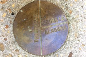
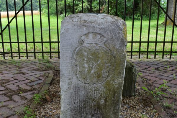
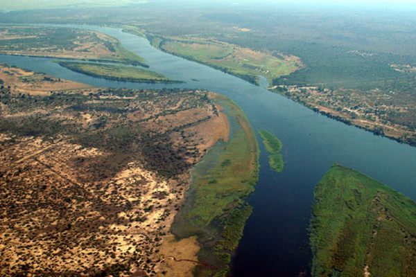
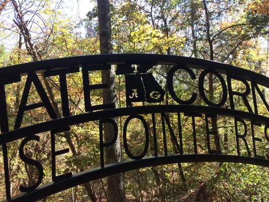
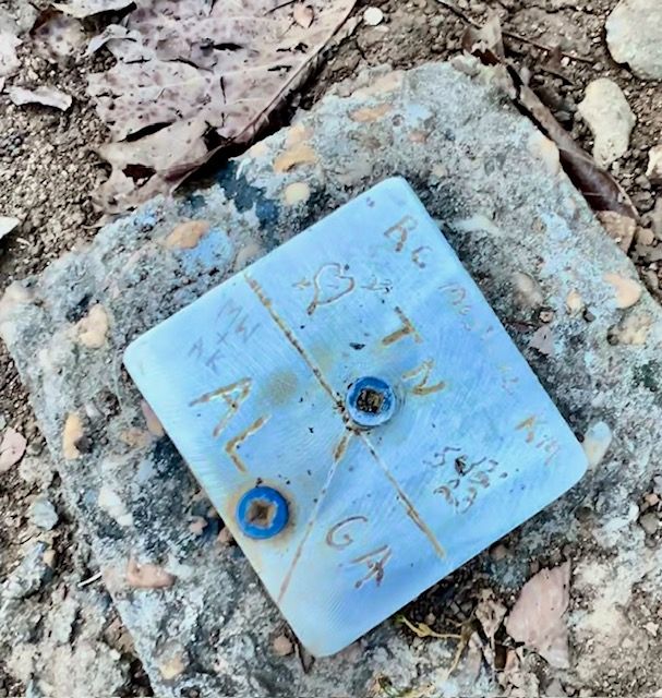
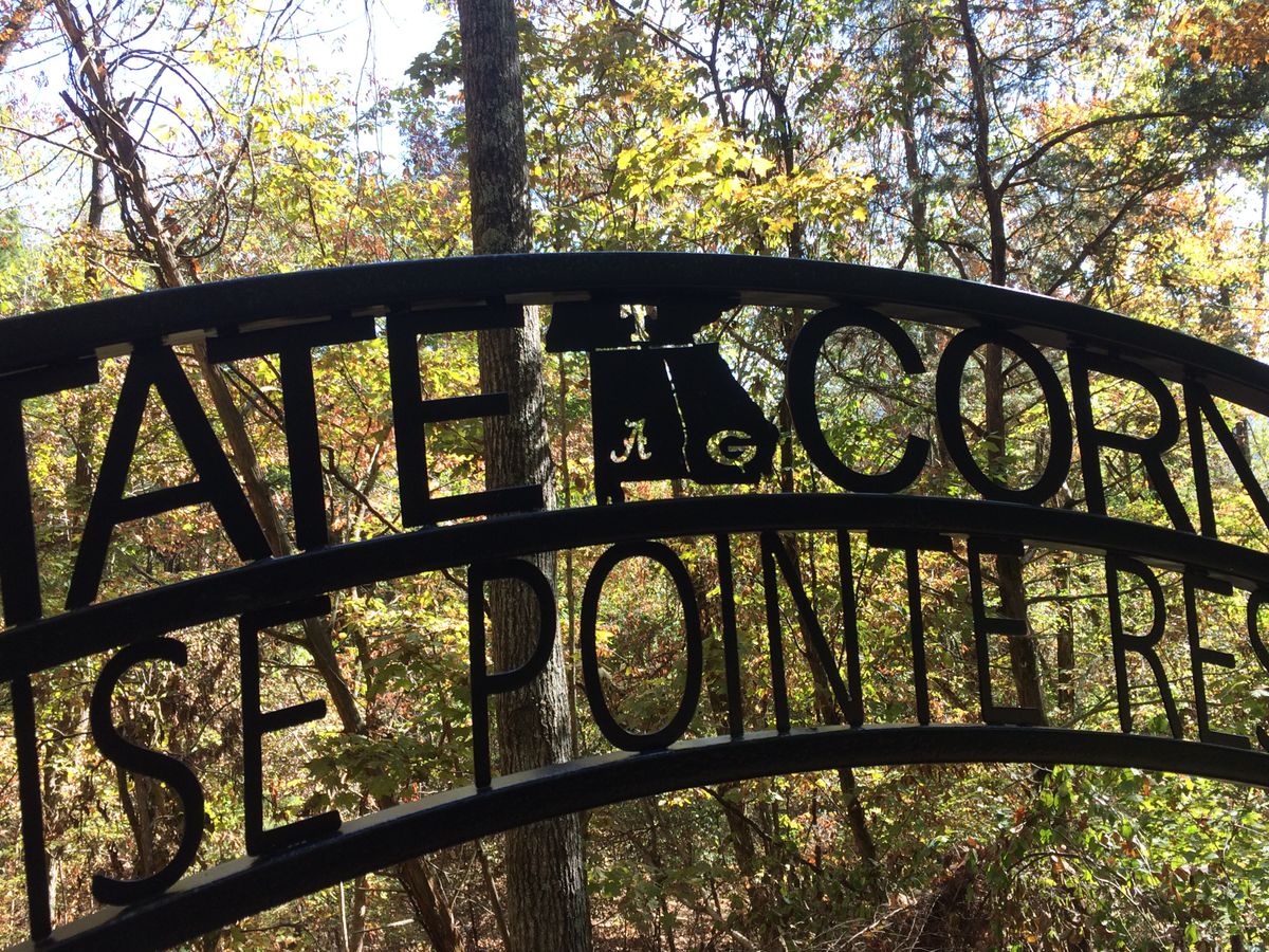
The measurements marked the corners of Tennessee, Georgia, and Alabama. After completing the survey and observations, a stone was placed about one mile from the Tennessee River, marking what Camak assumed was the 35th parallel.
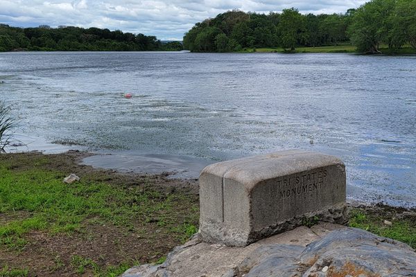
Some say the job was botched, but really the technology of the day played a huge role in the incorrect assessments. Camak was always skeptical of the charts and tables he used to conduct the survey. Around eight years later, he was tasked with surveying the boundaries of Alabama and Georgia. He discovered his original marker was farther south than the 35th parallel, and thus a new marker was placed farther north.
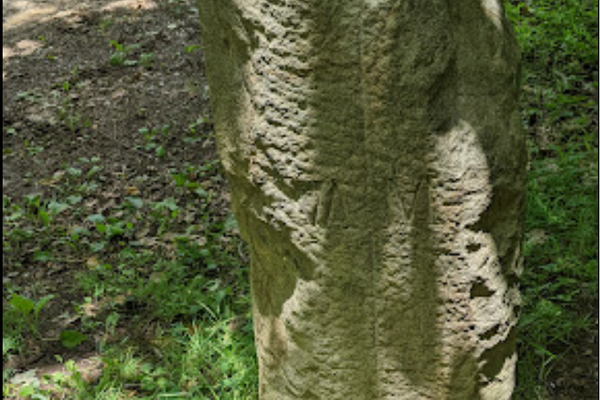
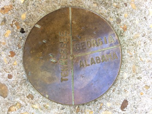
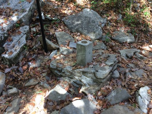
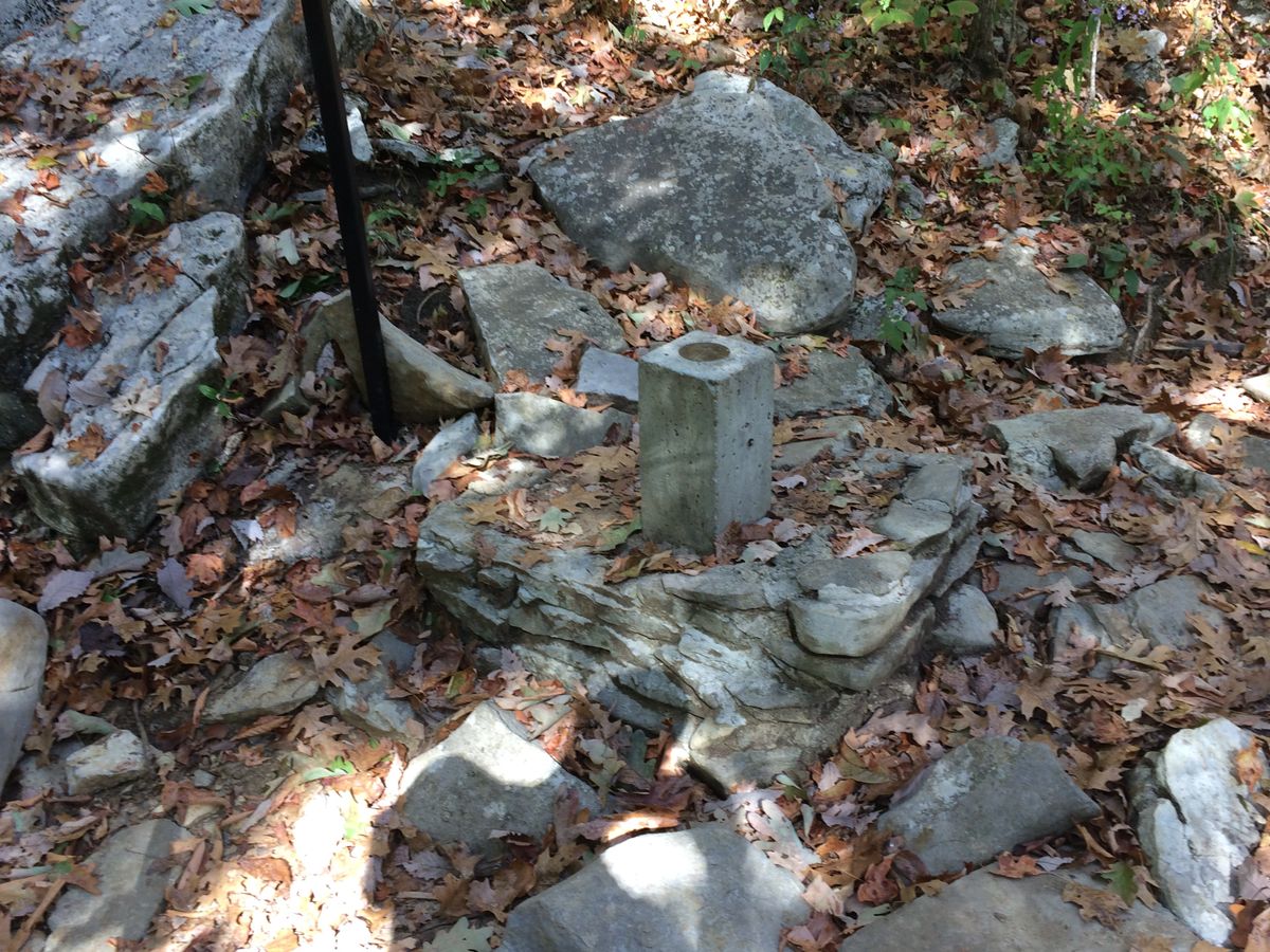
The new marker was dubbed the Camak Stone and was supposed to mark the corner boundaries of Georgia, Tennessee, and Alabama. However, it was still placed in the wrong location, uphill from the true 35th parallel which lies in the middle of the river. Although both states' constitutions recognize the 35th parallel as the official border, Tennessee has been accused of recognizing the Camak Stone as the official border, creating 68 miles of disputed territory each state feels belongs to them.
Over the years, several disputes have broken out among legislatures from Georgia and Tennessee over access to water in the Tennessee River. In 2007, the original stone marker was mysteriously stolen, it has since been replaced, however, it's unclear what happened to the original marker.
Related Tags
Know Before You Go
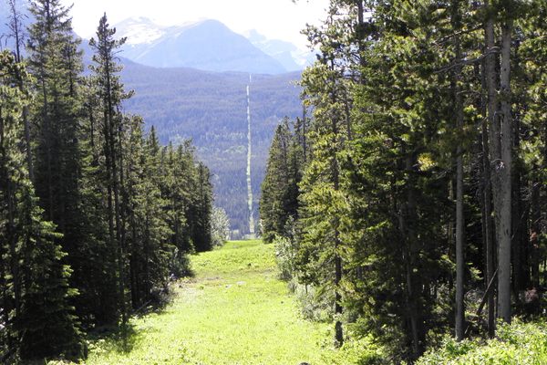
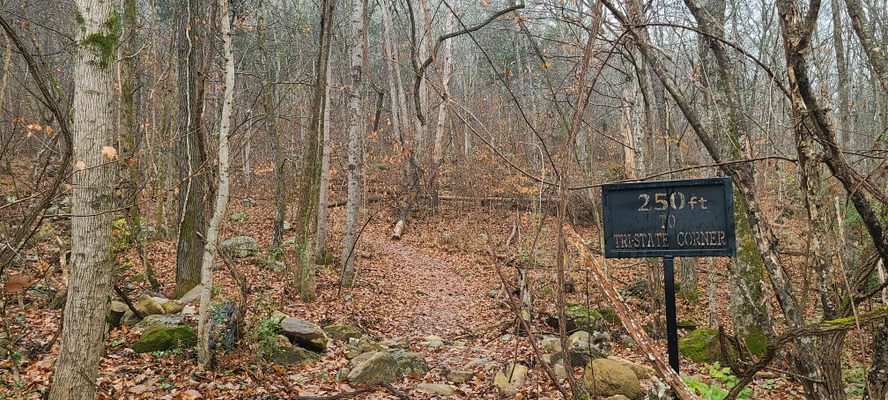
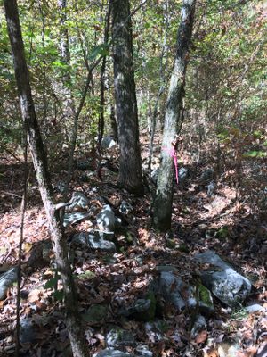
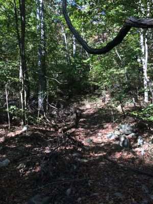
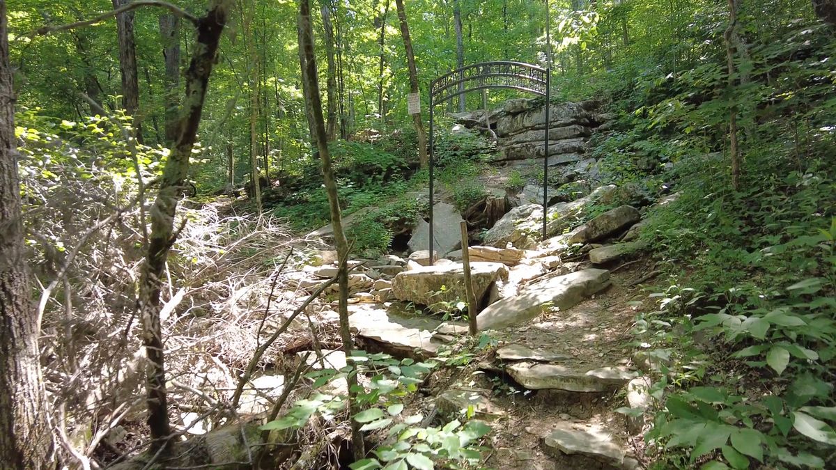
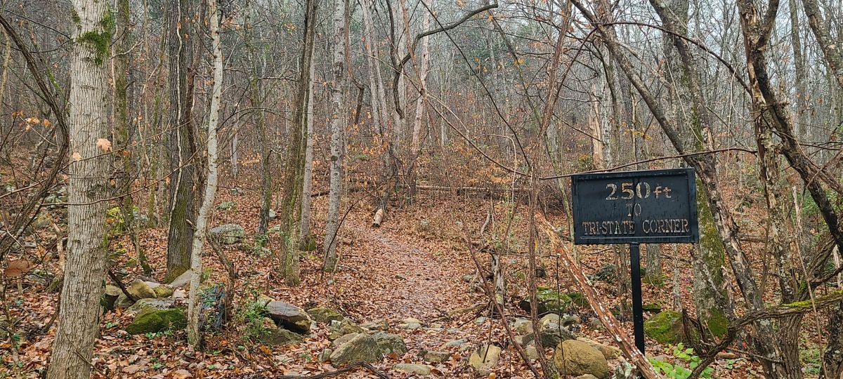
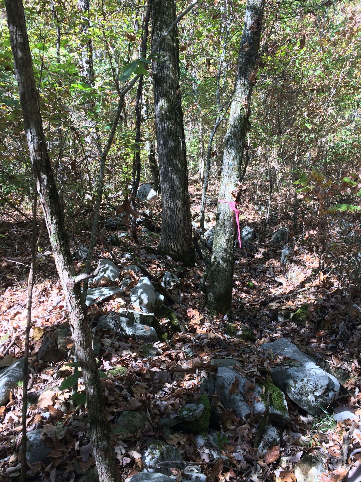
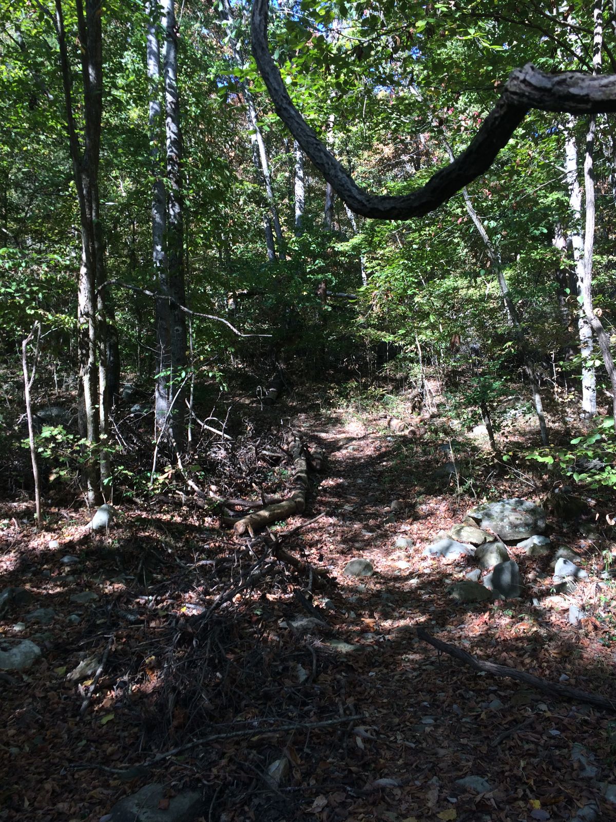
From Highway 156, turn south on Macedonia Road, and go about half a mile. Turn right just past a small bridge at an unmarked road and go to the end of the road. Park by the State Line Cemetery and find the trail heading uphill into the woods as if the road went straight in. Your GPS can get you to the stone, or just walk a couple of hundred yards due west.
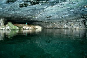
South of the trail is private property so be very respectful, they have no trespassing signs just off the trail beyond the marker. Ironically these white signs will help you find the marker in the woods. You are also extremely close to Nickajack Cave.
Community Contributors
Added By
Published
October 21, 2019
Sources
- https://www.math.uga.edu/history-mathematics-uga
- https://www.appalachianhistory.net/2018/07/james-camak-botches-surveying-gatn.html
- http://georgiapoliticalreview.com/georgia-and-tennessees-disputed-border-200-years-of-arguing-over-68-miles/
- https://www.gainesvilletimes.com/columnists/johnny-vardemans-column/stolen-stone-returns-home-minus-fanfare/
- https://www.timesfreepress.com/news/news/story/2011/mar/02/mystery-shrouded-cornerstone-replaced-tri-state-co/43693/
- http://www.sitemason.com/files/bqk1XO/gatnbordercolumn.pdf
- https://www.tba.org/sites/default/files/Environmental%20Law%20Section%20Newsletter%20June%202008.pdf
- https://en.wikipedia.org/wiki/Tennessee-Georgia_water_dispute