


About
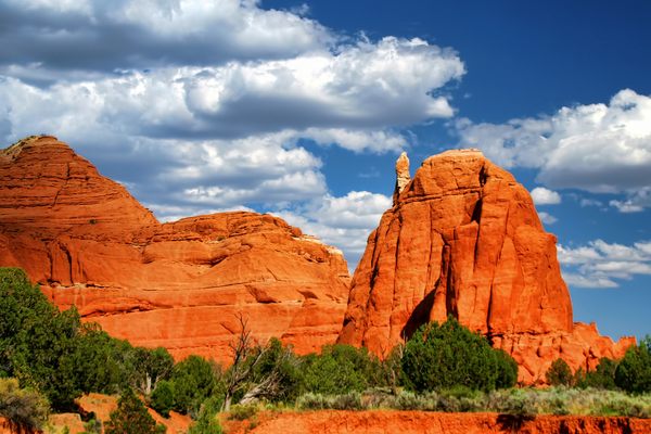
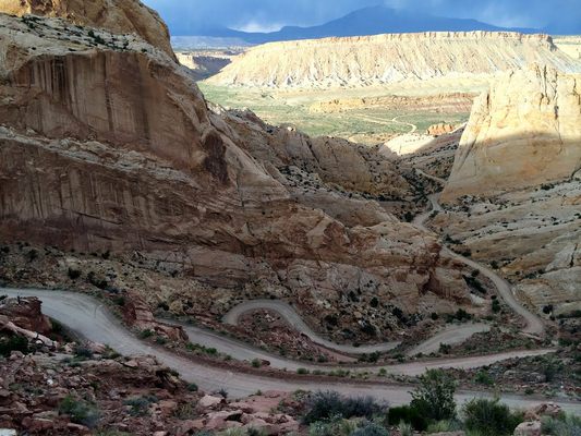
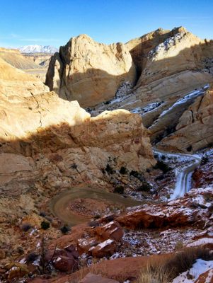
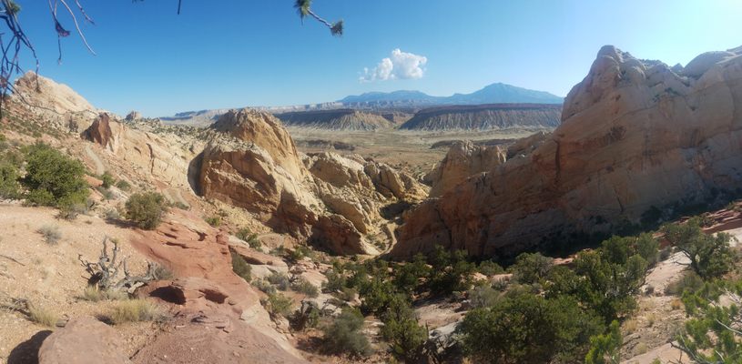
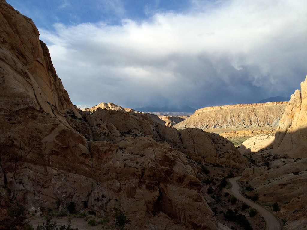
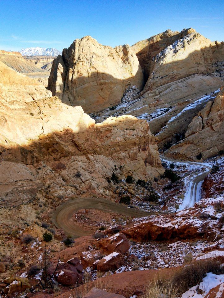
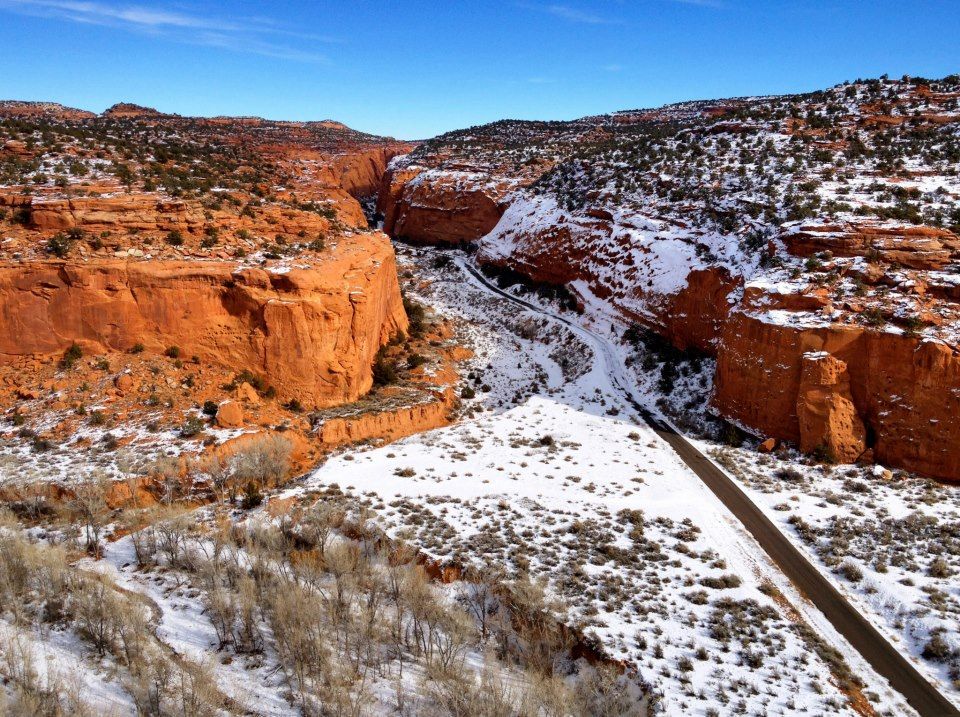
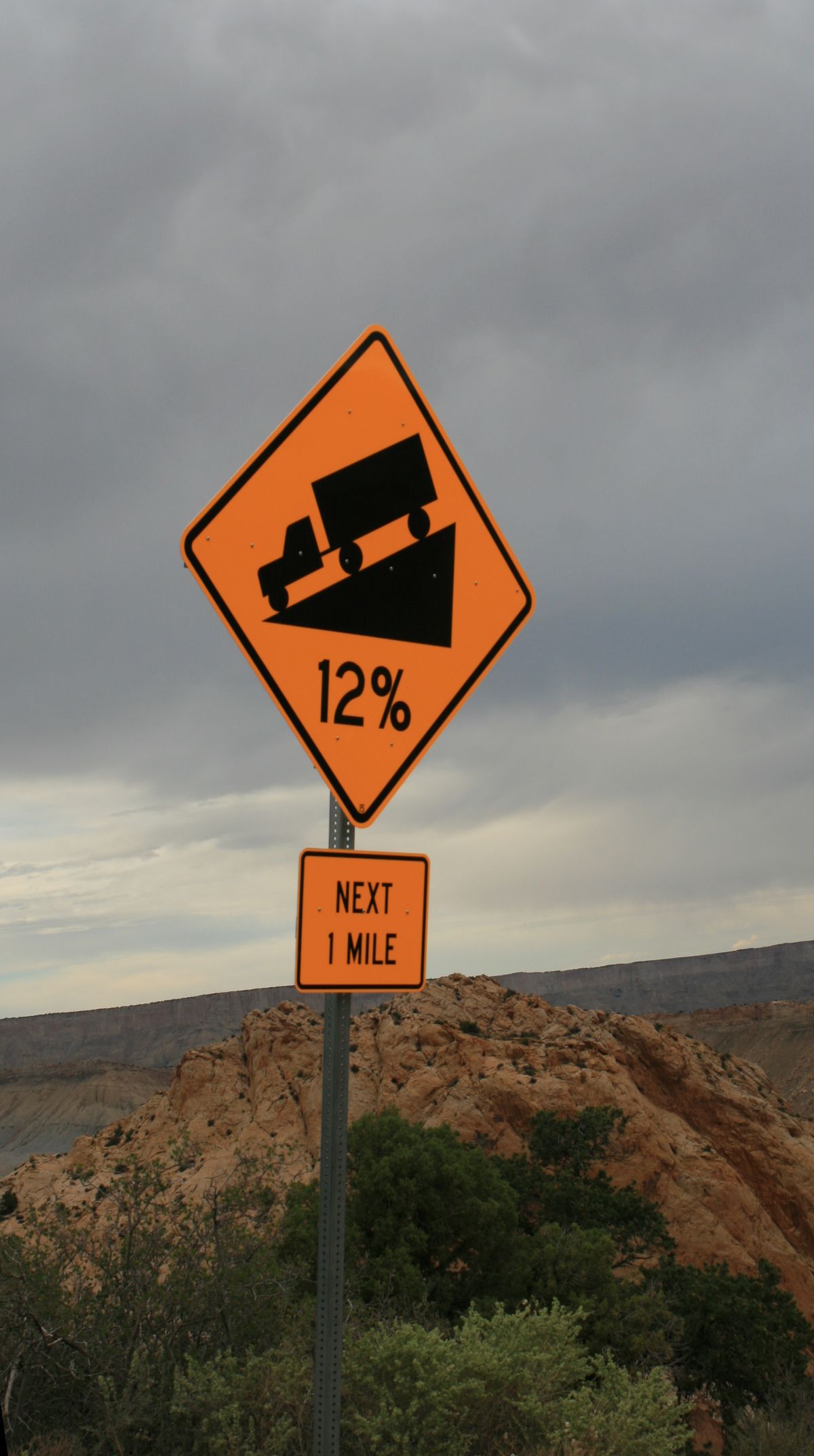
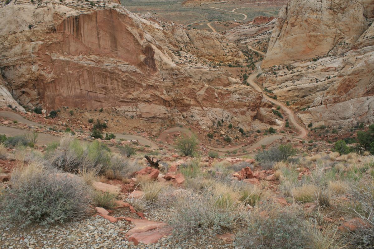
The Burr Trail Switchbacks are one of the few passages across the Grand Staircase, a geological formation which greatly vexed early stagecoach travelers crossing the plains.
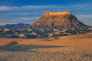
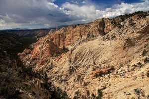
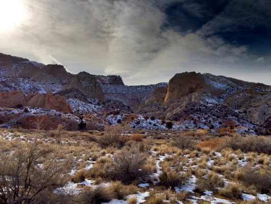
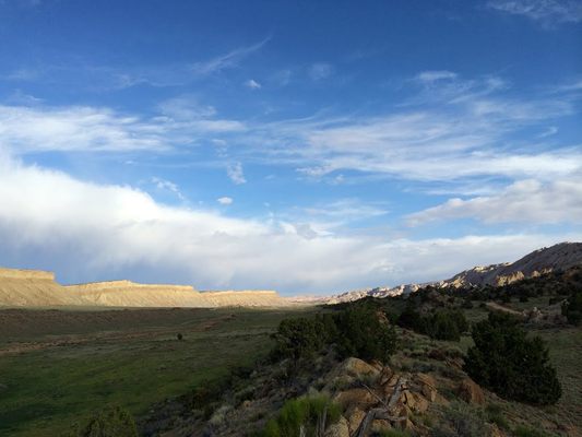
At this tectonic boundary (known as a monocline) the western plate juts sharply above the eastern plate, presenting a largely unbroken wall-like barrier nearly 100 miles long. This generally insurmountable wall of rock is positioned within Glen Canyon National Recreation Area, Capitol Reef National Park, and Grand Staircase-Escalante National Monument, which encompasses the largest land area of all U.S. National Monuments, slightly larger in area than the the State of Delaware.
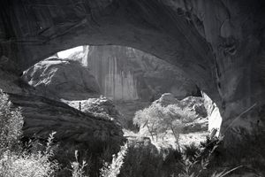
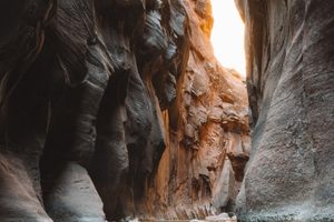
John Atlantic Burr was born while crossing the Atlantic in 1846, and lived with his family in Salt Lake City before moving south to establish the town of Burrville, Utah, in 1876. He established the Burr Trail across extremely rugged territory, including Waterpocket Fold, Burr Canyon, and Muley Twist Canyon as a way of moving cattle between lower winter grazing ranges on the east side of Waterpocket Fold and higher summer grazing ranges on the west.
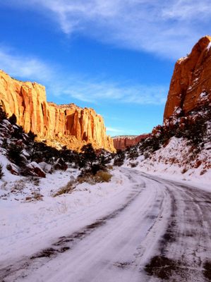
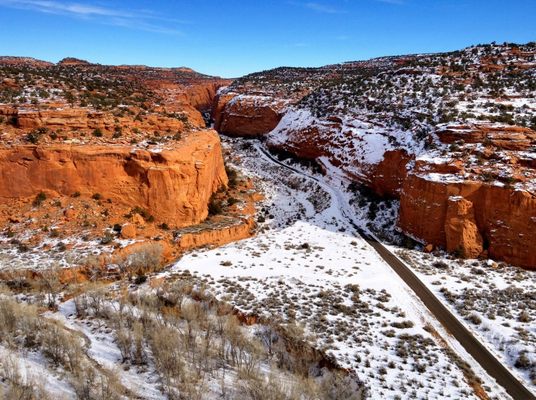
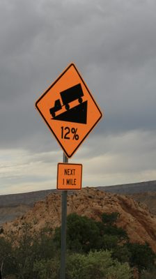
The section of the Burr Trail within Capitol Reef National Park is still unpaved and is in a scenic but isolated section of an already remote National Park along Utah Scenic Highway 12, generally free of the overcrowding of Zion and Bryce National Parks, halfway from Zion and Bryce to Arches and Canyonlands National Parks, and near the exceptional and even less populated Blue Valley.
Related Tags
Know Before You Go
between Boulder, UT and Bullfrog, UT
Community Contributors
Added By
Published
January 13, 2016