Art Challenge: Make Your Own Amazing Maps
Show us how you navigate your world today.

When most people picture tools, they’re thinking of a hammer, or a wrench, or a screwdriver. They help us change the world around us, but when it comes to understanding that world, there’s one tool that stands out from the rest: maps.
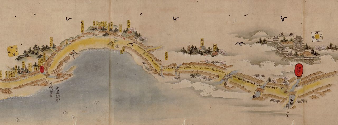
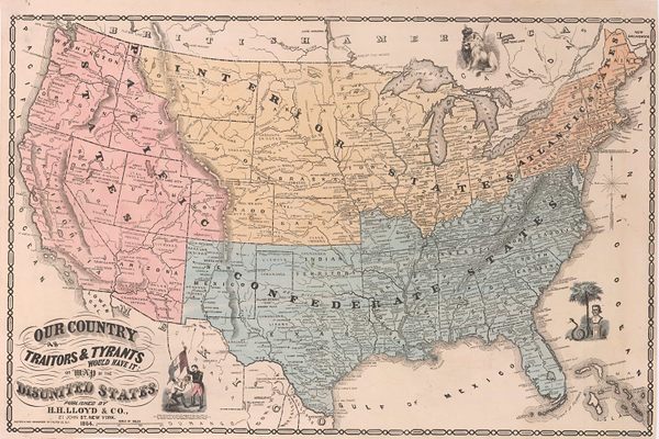
The oldest surviving world map we know of is a depiction of Mesopotamia etched into a clay tablet more than 2,500 years ago. Since then, they’ve been used for trade, navigation, art, and much much more—including as a form of escapism. In 17th-century Japan, for example, illustrated maps were often used as a way to traverse the country without leaving home—one map of the famous Tōkaidō Highroad measures 117 feet long. It’s a trip in and of itself.
It should come as no surprise that we love maps here at Atlas Obscura. We’ve shared quite a few of them, some hand-drawn, some filled with incredible detail, others that plot out places that don’t exist. Now, we want you to be the cartographer.
Think about, or have your kids think about, the place you want to map—especially within the new limits we’re all living under. It could be your home, the route you take on a daily walk, the world you see from your window. Then imagine the form you want it to take. And then grab what you have on hand and make a representation of your world and share it with us and your fellow readers. Here are a few of our favorite approaches.
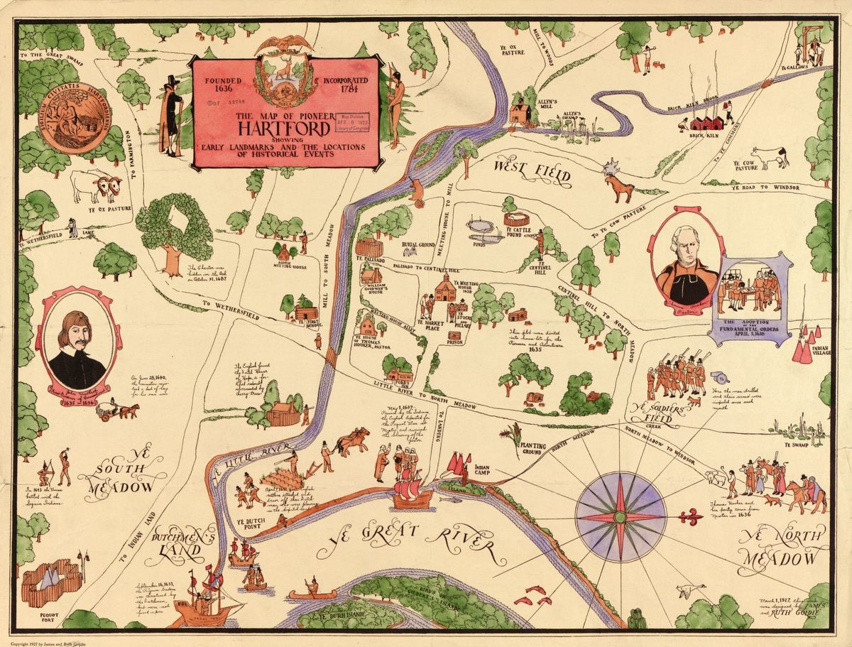
Illustrated Maps
Use drawings and doodles within your map to highlight some of the best parts of a place. In The New York Times, illustrator Nate Padavick offers step-by-step instructions for making your own illustrated map. Don’t worry so much about accuracy—it’s more important to represent how a place feels to you than to capture exactly how far apart two streets are.
Thematic Maps
Pick out a theme and focus your map on it. You could plot the location of all the outlets in your house, or every Japanese restaurant in Honolulu. Or you could bring together your neighborhood trees, favorite buildings, or the restaurants still doing takeout.
Sensory Maps
Many maps are focused on what you see, but that doesn’t mean they can’t excite the other senses. Try making a map that relies on another sense, such as taste, touch, or smell. Could you chart the different flavors and textures in a meal, or all the different smells in your backyard, or how things sound different at each window in your home? For inspiration, check out this project that maps smells found across different cities.
Mix and match as many of these different approaches as you want to create something totally unique, then share it with us! No matter how simple or advanced, we want to see them. You can post in Atlas Obscura’s forums, on Facebook, Twitter, or Instagram, or email them to us at places@atlasobscura.com. We’ll publish some of our favorite ones in a future article.


Follow us on Twitter to get the latest on the world's hidden wonders.
Like us on Facebook to get the latest on the world's hidden wonders.
Follow us on Twitter Like us on Facebook