7 Maps That Can Change How You See the World
Plus: Our definitive guide to the world’s extraordinary sights.
We don’t think much today about the world-altering power that maps once held. You probably have a detailed cartographic guide of almost every point on the planet within arms’ reach right now, and in most places, the GPS on your phone can nail your location on that mape within a few feet. But throughout history, maps—accurate, error-filled, intentionally misleading—have had a profound impact. And even today how we draw the world continues to shape our understanding of it—and have real consequences. Here’s a selection from the Atlas Obscura archives of stories that illustrate the power of maps.
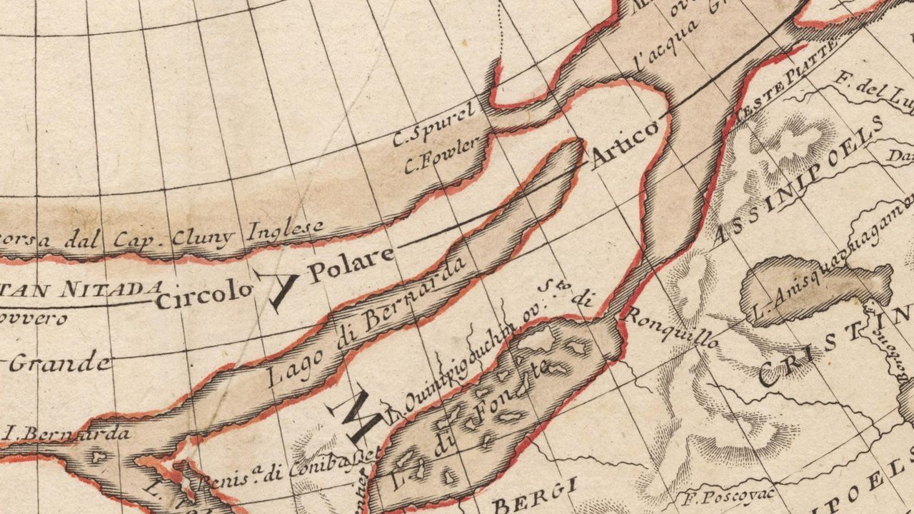
The Cartographers Who Put Water Where It Didn’t Belong
by Jessica Leigh Hester
When plotting out their maps of North America, many 18th-century European cartographers relied on accounts that drifted across their desks. These were a collage of nautical references, local lore, missionary dispatches, and more. Since it wasn’t always possible to fact-check these observations, maps by even the most conscientious cartographers could be sprinkled with errors—often strategic myths of oceans, lakes, and rivers.

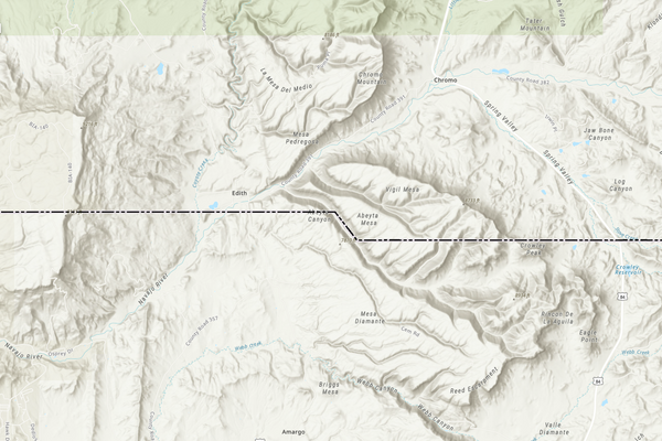
Ground Truth
by Jen Banbury
Today in sub-Saharan Africa, only one third of all borders have been “delimited”—the formal term meaning that they are properly fixed: that the countries on both sides have agreed to the exact physical location of the border, that the coordinates of that physical line have been thoroughly and accurately documented. How did Cameroon and Nigeria create a modern map of an ambiguous border determined by 19th-century colonial powers? A lot of careful planning and hard work. Read about how a modern border comes to be.
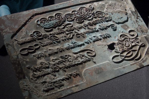
How a Secret Map Brought Down a Pirate Alliance on the Irish Coast
by Erin Mullaley
A band of pirates in the North Atlantic met their demise in 1614 in large part due to a devastating attack by a Dutch fleet guided by a leeskarte—a set of navigational instructions revealing the pirates’ locations, as well as shoreline features and cultural landmarks from the time. “It is a type of ‘treasure map’ informing on the heritage within the landscape at the time, which could potentially help us identify other pirate-related locations,” says one archaeologist.

How Millions of Secret Silk Maps Helped POWs Escape Their Captors in WWII
by Cara Giaimo
Meet Christopher Clayton Hutton, the British journalist, film marketer, and pilot who masterminded the “escape kits” that helped some 750 Allied prisoners of war reach freedom during World War II. The key was a map “so thin that it would take up next to no room when folded.”
The Spies Who Mapped Great Swathes of South Asia by Foot
by Eleanor Cummins
For more than a century, the British were able to boast that the sun never set on their enormous empire. But in the mid-19th century, colonists ruling over the Indian subcontinent became painfully aware they had little idea what the empire actually contained, from the number of rivers to the number of people. More pressingly, they knew even less of what lay beyond their border—and the Himalayas. They likely never would have discovered the secrets of South Asia if not for the help of Nain Singh.

The Father of Medieval Geography Is Unfairly Blamed for One Very, Very Bad Map
by Frank Jacobs, Big Think
If you know one thing about 12th-century Arab cartographer Muhammad al-Idrisi, it is that he is the author of a wonky world map—a disc, suggesting a belief in a flat Earth, with barely recognizable continents—which is often included in modern atlases as a prime example of medieval map-making skill. But al-Idrisi, who probably didn’t create that much maligned-map, did produce the most accurate known map of the Earth available in the 1100s.
The Woman Who Changed the Way We See the Seafloor
by Suzanne OConnell, The Conversation
Despite all the deep-sea expeditions and samples taken from the seabed over the past 100 years, humans still know very little about the ocean’s deepest reaches. And much of what we do understand can be credited to Marie Tharp, a geologist and oceanographer who changed the way people imagine two-thirds of the world. Beginning in 1957, Tharp and her research partner, Bruce Heezen, began publishing the first comprehensive maps that showed the main features of the ocean bottom—mountains, valleys, trenches, and more.
Bonus:
All of Atlas Obscura’s Places on One Map
by Atlas Obscura—and You
As of this writing there are nearly 26,000 unusual, surprising, and amazing spots to discover thanks to our intrepid community of travelers and explorers.


Follow us on Twitter to get the latest on the world's hidden wonders.
Like us on Facebook to get the latest on the world's hidden wonders.
Follow us on Twitter Like us on Facebook