


About
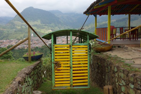
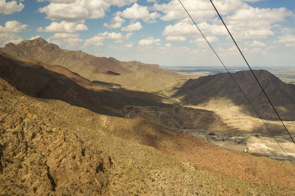
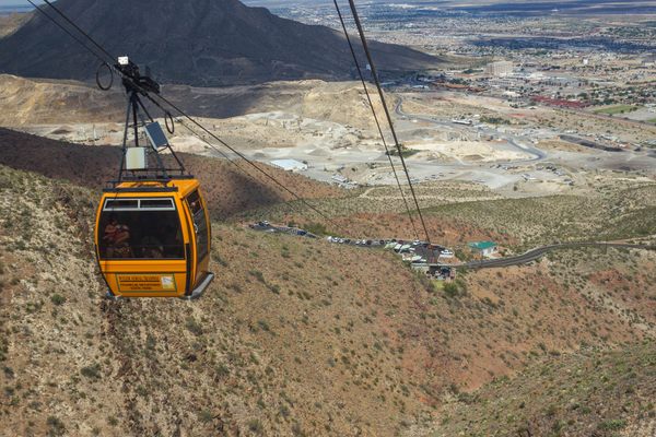
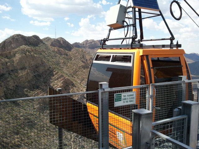
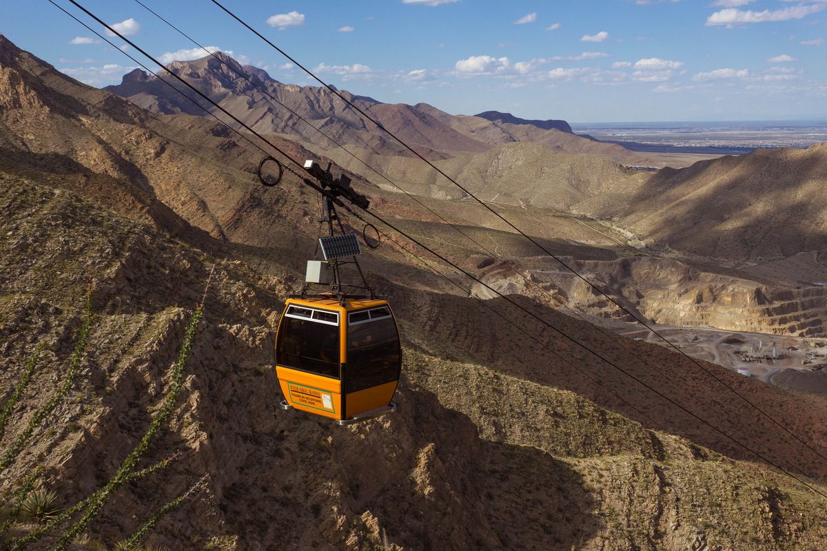
A cable car once used to maintain a radio transmission antenna now takes visitors to the top of Ranger Peak in Franklin Mountains State Park for wide views of the El Paso-Ciudad Juarez area.
El Paso, Texas, sits at the base of the Franklin Mountains, and the end of the range separates the east and west halves of the city. Ranger Peak commands a wide view of the area, and the KTSM radio station selected it as the place to build their transmitter. To get the materials over the rugged terrain, the project director, Karl O. Wyler, had the tramway built to haul them up almost 1,000 feet in altitude. The tramway is single-span, meaning there are no towers along the half mile of travel, and a very strong cable like those on suspension bridges keep the gondola above the canyon below.
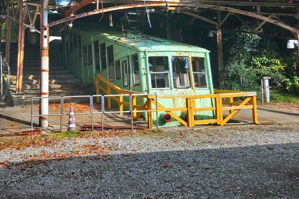
After the tower was built, the tramway was operated privately and made open to the public from 1960 to 1986, when it was shut down due to mounting insurance costs. Mr. Wyler would later buy the tramway, and then willed it to the Texas Parks and Wildlife department upon his death in 1997.
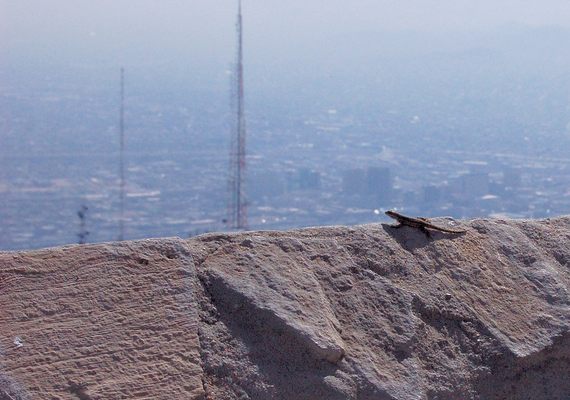
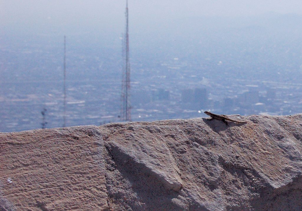
Four years later, after extensive renovation, it was reopened as the Wyler Aerial Tramway in his memory. Birds can be seen soaring above the city and salamanders scuttle among the rocks at the summit, and the wide view that Mr. Wyler wanted to give to the public is still available after a trip up the mountain.
Update October 2018: the Tramway is closed until further notice.
Related Tags
Know Before You Go
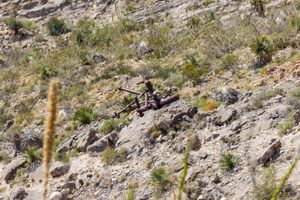
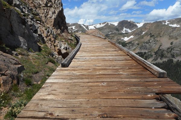
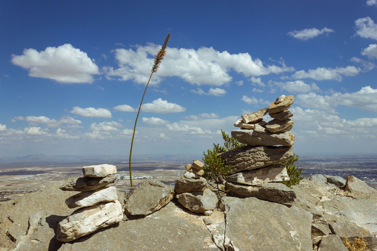
The Tramway is now operated by the Texas State Parks. It's open Friday through Sunday only. The round trip ride is $8 per adult and $4 per child. If you want more of a challenge you can climb the 940 feet to the top of the mountain on a half mile trail. At the top of the mountain there is a mile and half trail around the summit that offers great views, and an overlook of the B-36 airplane crash site.
Community Contributors
Added By
Published
March 7, 2016