About
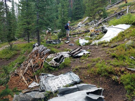
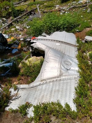
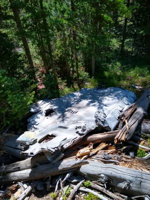
On the afternoon of October 2, 1970, workers on the Eisenhower Tunnel construction project reported hearing an explosion on the mountainside just northeast of the tunnel's eastern entrance. Looking north, the mountaintop appeared to be on fire. The project workers were the first on the scene, discovering the remains of the Wichita State football team's plane, which had crashed into the mountain and melded into the dirt.
Of the 40 passengers on board, only 11 remained alive after the crash, two of whom later died of their injuries. The cause of the disaster was later determined to be poor planning and a lack of understanding of the terrain, as the pilots attempted to use an overloaded aircraft to cross a high-elevation route that was poorly understood by the pilots.
Survivor Rick Stephens later described the event: "I got up to go to the cockpit, which wasn't unusual to do, and I could tell we were in trouble, looking out the window and seeing nothing but green in front of us."
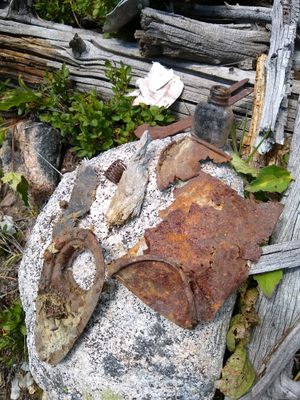
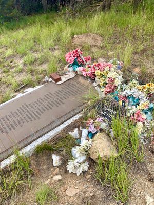
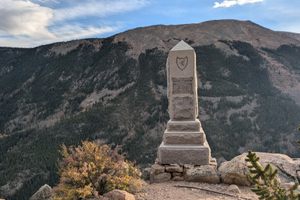
Today, the site remains relatively untouched, likely due to the difficult elevation gain required to reach it. Perfume bottles, electrical components, and other effects have been recovered by visitors and left on nearby rocks. When exploring this location, please be mindful to not remove these objects. Their preservation is integral to the remembrance of this disaster, and the 31 people whose lives were lost in it.
A roadside memorial plaque listing the names of the victims is located near the crash site.
Related Tags
Know Before You Go
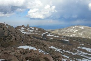
This is a very difficult hike, which is probably why the remains are so pristine after almost 50 years. Be prepared for a VERY steep 1+ hr hike, followed by possible bushwhacking at high elevation. Do not attempt this hike without water, a change of clothes, and good hiking boots/shoes. Colorado weather can change quickly in the mountains and hundreds of people die of dehydration in Colorado every year, mainly those from lower elevations.
The address listed here is not the exact address of the main parking lot. To get to the site, exit I-70 onto Grand Army of the Republic Hwy, directly across from the Loveland Ski School on the east side of the Eisenhower Tunnel (you can get to this parking lot from the address listed by following Grand Republic east under I-70). There is a small gravel parking lot, with room for about 10 cars. This is the only parking.
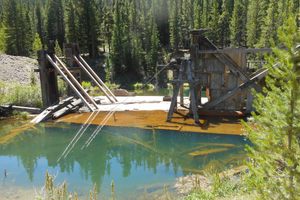
After this, travel is done on foot. Hike for just over a mile up FS-193.1 until you reach a fork going directly uphill to the left (this is easily visible on Google Maps, and should be across from the fenced-in area near the top of the creek). This next part is the challenging part, as you have to hike the entire rest of the way on ta very steep incline. Do not do this if you are not ready for it.
Continue on the trail until it disperses as you approach the ridge. The trail should take you directly there after rounding a bend through some aspens, but for reference the coordinates of the site are 39°41′36″N 105°52′57″W.
Published
October 14, 2022
