


About
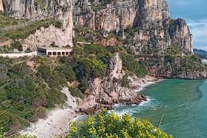
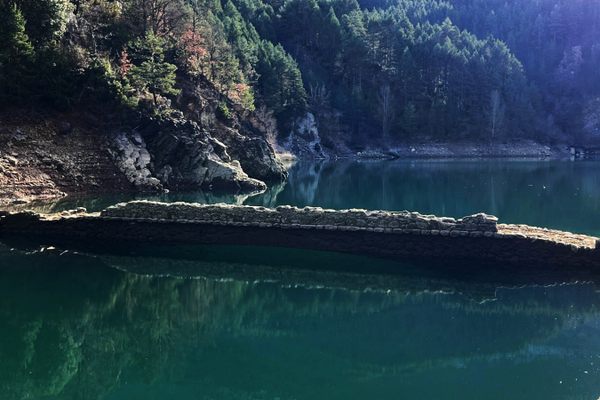
Now that they have been swallowed by landslides and vegetation, the supporting structures of the once-spectacular Via Flacca are nearly unnoticeable. This ancient Roman road was built by the censor Lucius Valerius Flaccus in the second century B.C. As the nearby Villa of Tiberius shows, the coastline was a popular site for the wealthy to build their seaside villas. The road also provided an alternative route to pass the rugged coastline and the Aurunci mountains, connecting Sperlonga to the ancient Via Appia.
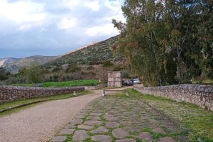
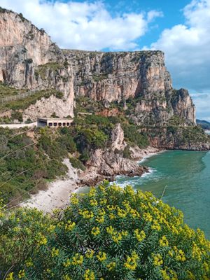
The road was an elaborate, complicated, and perilous project, which was only replaced by the present road in the late 1950s. (The modern paved road is named after the old Via Flacca.) Not much is left of the ancient road, but a few short segments can be accessed on an abandoned trail network that connects Sperlonga with Sant'Agostino beach, at heights ranging from 15 to 60 meters (50-200 feet) above the sea below.
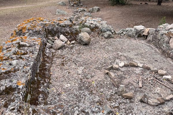
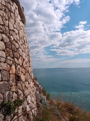
The most interesting remains, consisting mostly of large squared or polygonal rocks set against the cliffs, are visible on the first headland, Punta Cetarola, and can be accessed from a trail which runs on the side of the first tunnel. The trail itself follows the old Via Flacca and enters a spectacular natural cave, known as the Antro di Punta Cetarola, which is open on either side. Before and after the cave the trail is entirely built on the top of the old Roman supporting stones.
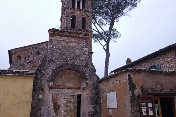
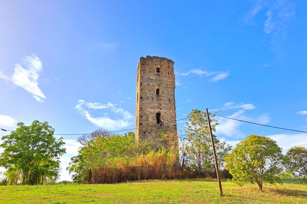
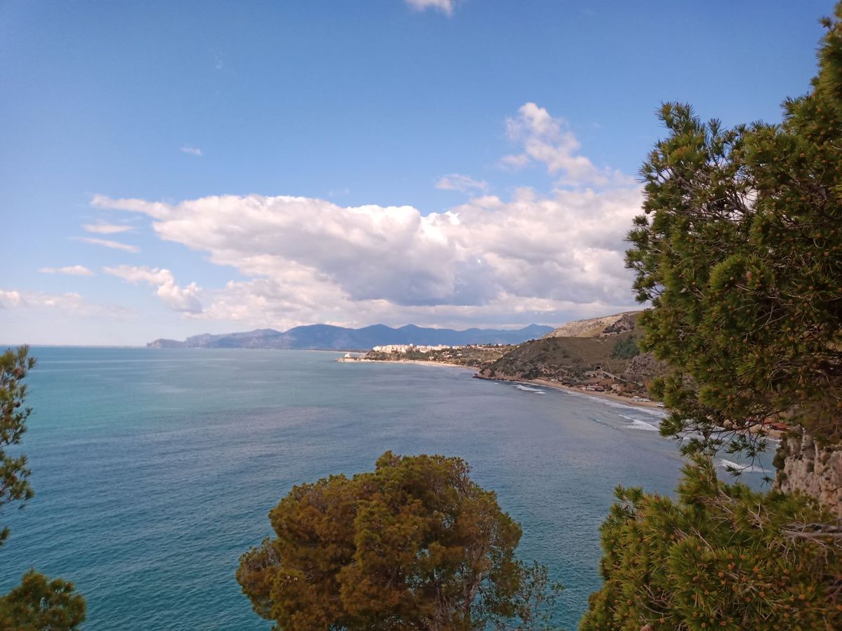
After this short stretch, the trail might be impassable due to the thick vegetation or frequent landslides. It might be safer to walk through the tunnel. A second headland, further north, also preserves a short stretch of the old trail which leads to a 16th century lookout tower, Torre Capovento, a reminder of the times in which Saracen pirates and corsairs terrorized the coast. The tower was also used as a customs house in later times. It is mostly in ruins, but provides a beautiful view on the cliffs of the Riviera di Ulisse marine reserve, and the stunning medieval town of Sperlonga.
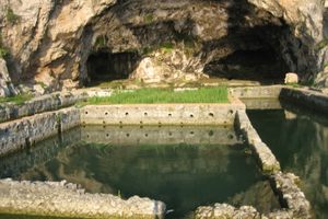
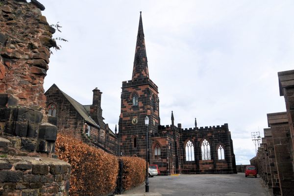
Once more, the trail becomes impassable after the tower and one needs to backtrack to the tunnel. At the end of the following beach, the trail is well preserved, it rounds the headland above the Villa of Tiberius and descends to the archaeological site. A pedestrian path then leads from the Villa to the town of Sperlonga, recognisable by its white houses and the Truglia tower reaching out over the sea.
Related Tags
Know Before You Go
The trail is very narrow and dangerous. Try to avoid walking on it during the summer when the temperatures can be very high. When walking on the road, pay attention to the cars as they tend to drive very fast. It is best walked from Sant'Agostino to Sperlonga but you can park your car near the Torre di Capovento and there is usually one parking spot by a gate between the two tunnels after Sant'Agostino in order to access Punta Cetarola. A map can be downloaded here.You can also rent a kayak in Sperlonga (May-October) and paddle along the coast where the Roman road is more visible. There are also several marine caves that one can visit (from Sperlonga to Punta Cetarola approx. 2 hours kayaking return).
Flavors of Italy: Roman Carbonara, Florentine Steak & Venetian Cocktails
Savor local cuisine across Rome, Florence & Venice.
Book NowCommunity Contributors
Added By
Published
May 23, 2020