About
Created by Geographer-at-Large Eames Demetrios, Kcymaerxthaere is a "parallel universe that intersects with much of our linear Earth, but with different stories, creatures, peoples, even laws of physics and qualities of existence." It has been likened to a novel with every page in a different place. What makes the Kcymaerxthaere project particularly interesting is that Demetrios installs informative markers and historical sites at the locations in our world that connect to his world, creating real world intersections with his imagined universe. For the months of August and September, 2014, Demetrios acted as our first ever Geographer-in-Residence and his Kcymaerxthaere locations continue to be featured all over the Atlas. To learn more see our introductory article here!
About 10 or 15 miles East of Deming, New Mexico and 10 or so miles south of I-10 are some subdivisions of land that are only that: land was divided up and never really built upon.
These are the Deming Ranchettes, and when you drive there, 1/2 a mile west of County Road B047, you will find Gaviota Road, a road so unvisited you have to put the wrong name (Savota Road) on Google Maps). We recommend you take a right on Palo Alto from B047 and then go down the unnamed fenceline road to Gaviota and take a left--at least the physical sign says Gaviota.
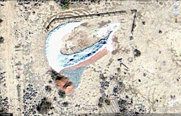
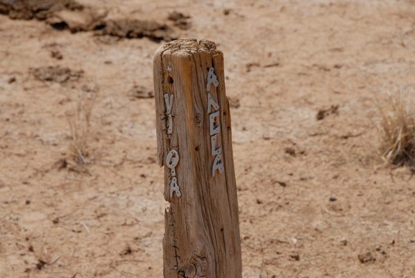
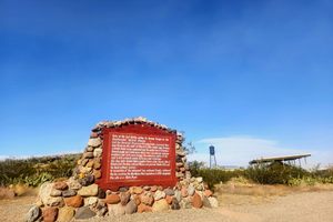
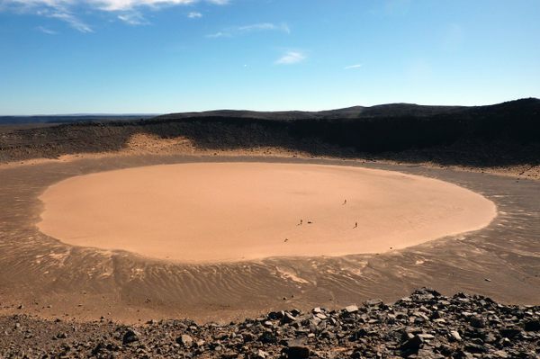
There you will find a Kcymaerxthaere Historical Site known as the Faltese (Pomzhirl) Impact Site and a related marker that tells talks about unusual way that the Chej-Asos people perceived triangles--or is it the unusual way we perceive triangles? The impact crater is said to mirror the one left by a pomzhirl (a fraction of a grain of sand) that crashed into the ground after the cataclysmic explosion that ended the Battle of Some Times. Treat the site (and all sites) with respect, but there is a set of steps where one can climb up the crescent of stone for a lovely view, and even a place to rest in the rock--but look before you sit anywhere in the desert.
When you visit here you will see both a Kcymaerxthaere Marker and Kcymaerxthaere Historical Site (a marker primarily has a textual presentation; however about 1 out of 8 installations has a significant additional physical installation as part of of the storytelling--those are called Kcymaerxthaere Historical Sites).
Related Tags
Know Before You Go
About 1/2 a mile west of County Road B047, on Savota Road (actually, it may be Gaviota--but it says Savota on Google Maps). We recommend you take a right on Palo Alto from B047 and then go down the unnamed fenceline road to Savota. Use a vehicle that can handle several miles of dirt road. Watch for jack rabbits and cows crossing the roads. When you see the old school bus, you're almost there. Keep gong about another 1/4 mile down the road and turn left.
Community Contributors
Added By
Published
June 23, 2013

