


About
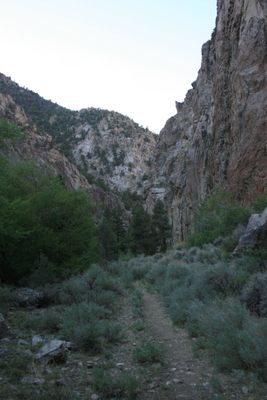
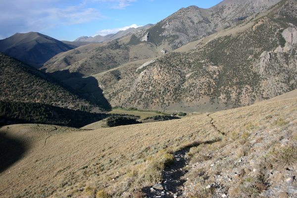
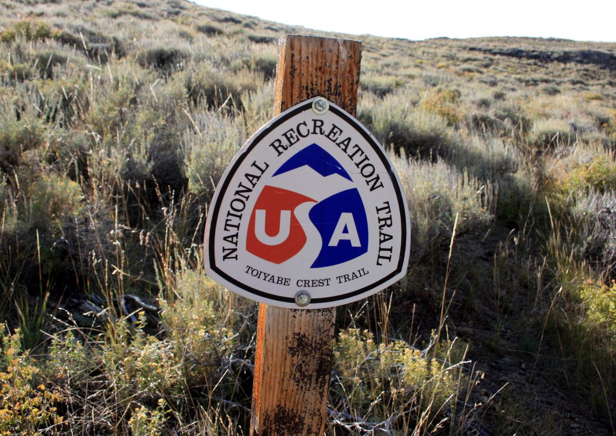
The National Recreation Trails are a U.S. national resource—and most of them get used accordingly, complete with guidebooks, mileage logs, notes on campsites and water sources, and so on. In popular wilderness areas you even need to reserve a campsite. That's fun, but not quite the wilderness experience. But one trail in that system that's not crowded is the Toiyabe Crest Trail. It gets so little use, it's advised you bring topographic maps in case you need to route-find.
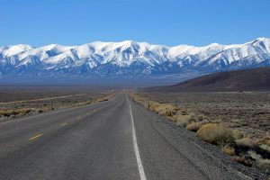
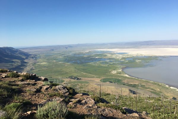
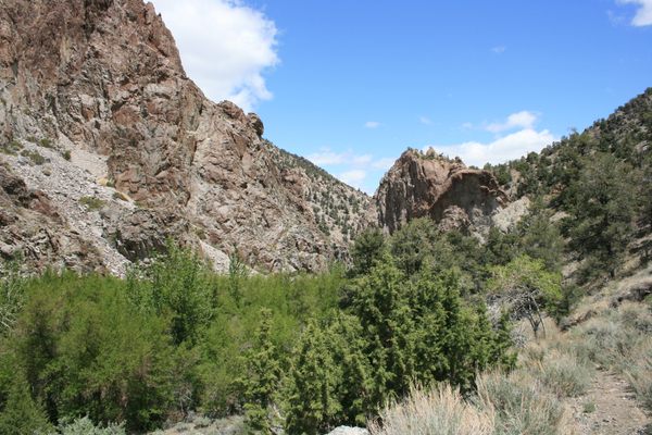
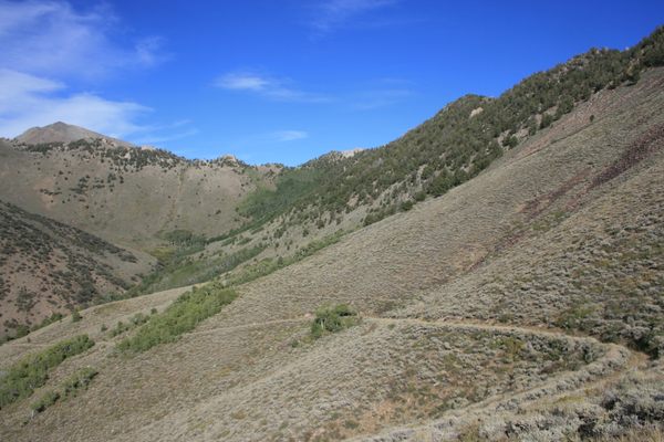
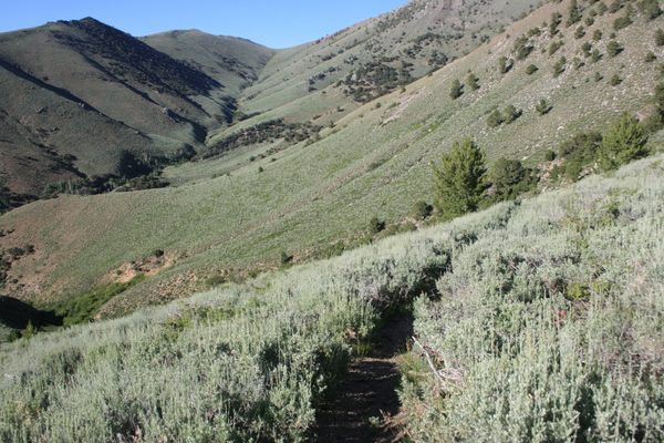
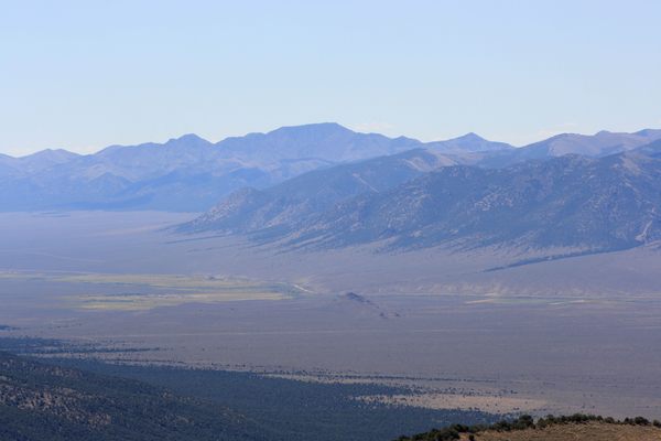
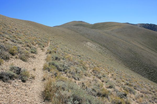
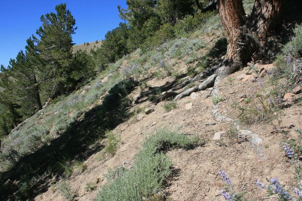
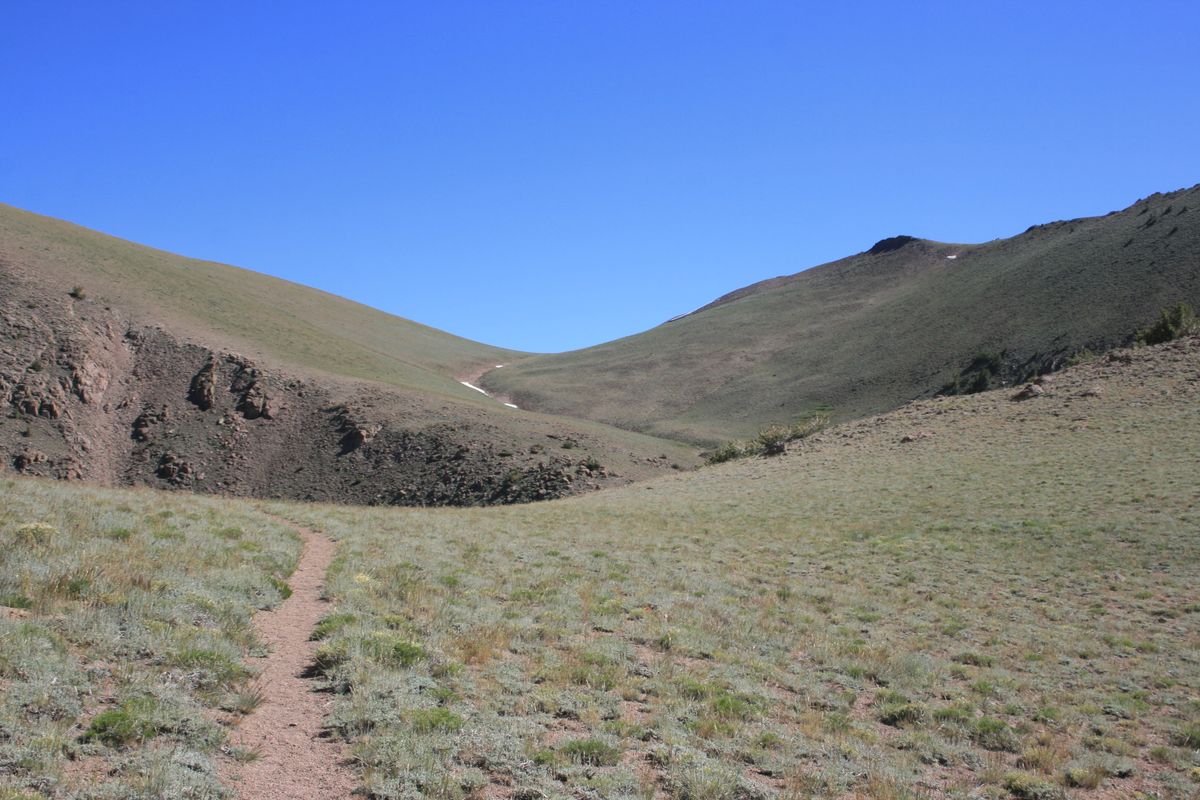
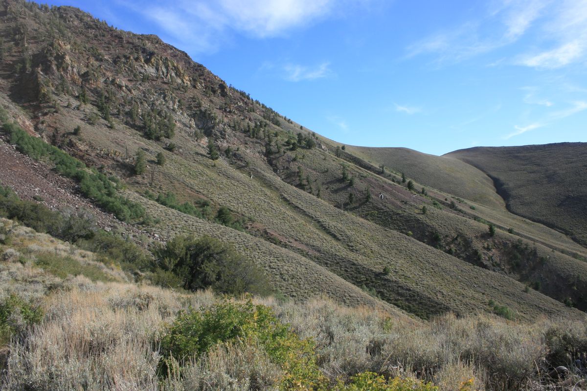
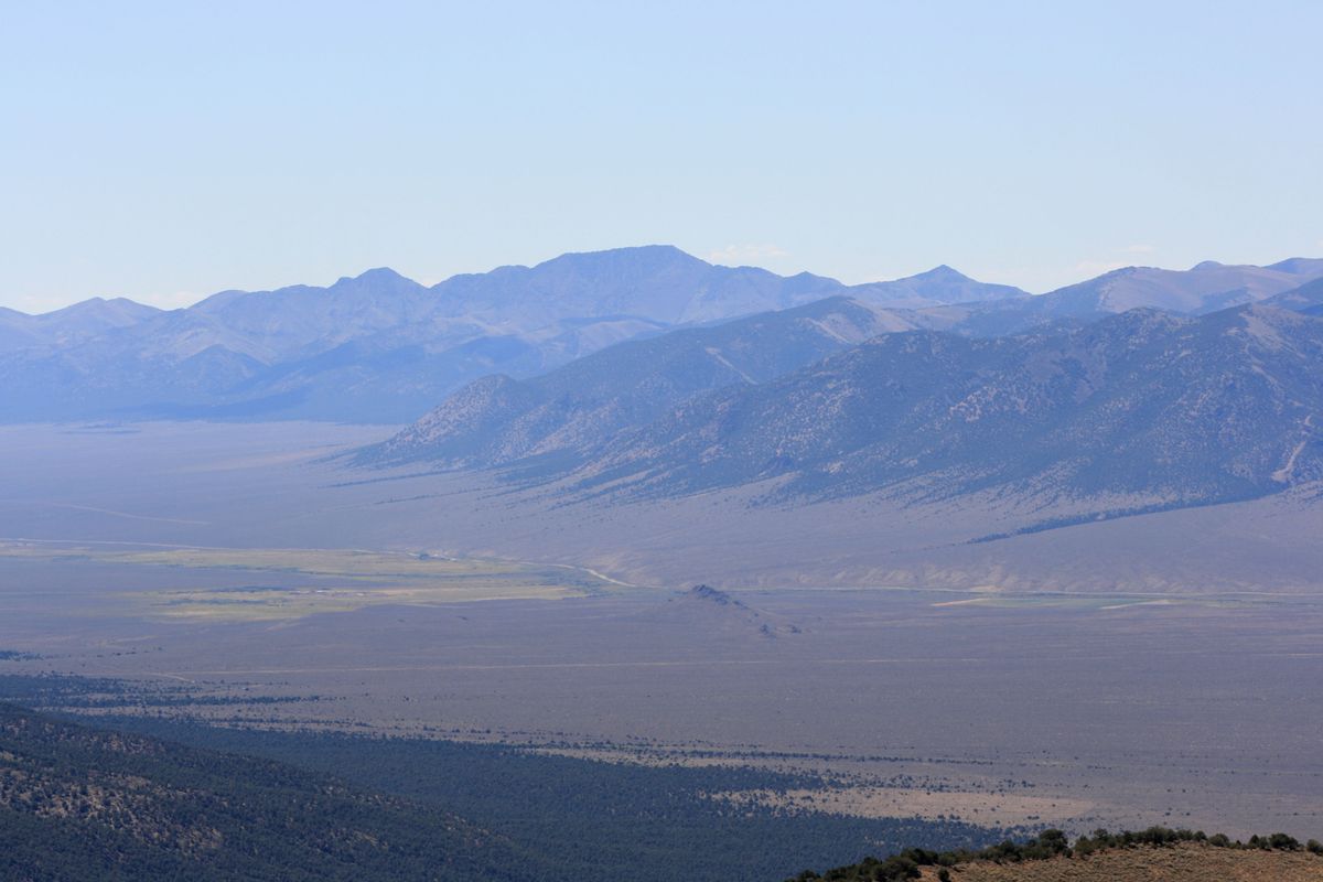
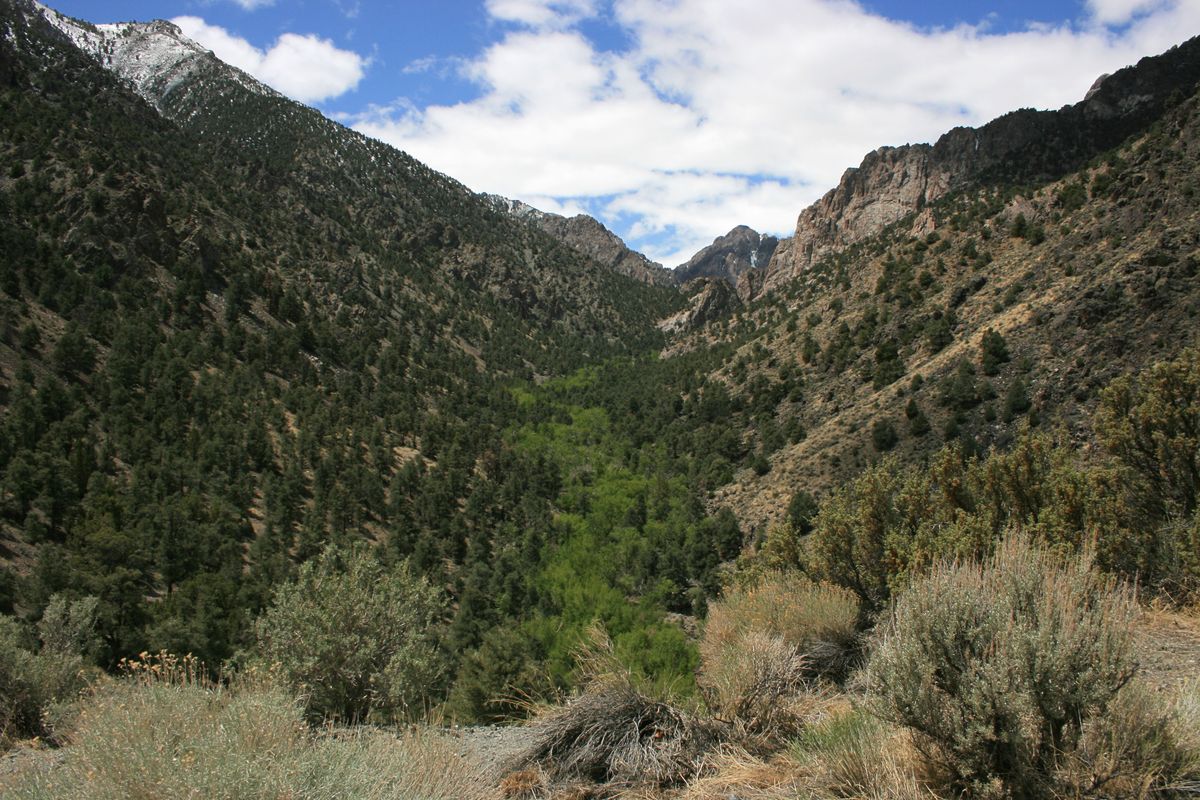
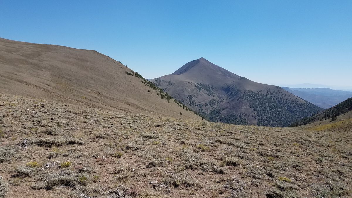
The Toiyabe (toy-YAH-bee) Crest Trail runs along the Toiyabe Range for over 70 miles. This range stretches north-south for some 120 miles, with its highest peaks over 11,000 feet (approximately 3,350 meters), right in the middle of Nevada. The trail extends from South Twin River in the Arc Dome Wilderness at the south to Kingston Canyon at the north. It largely lies in the Humboldt-Toiyabe National Forest, and even though the only designated wilderness is at the south end, most of the area is effectively wilderness.
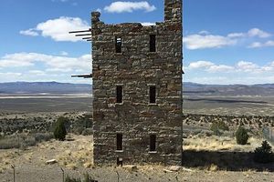
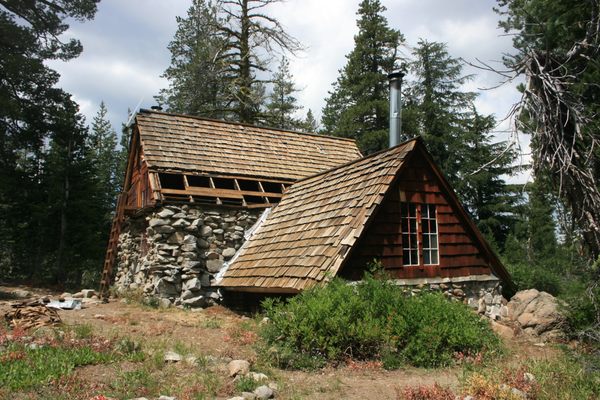
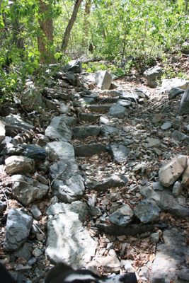
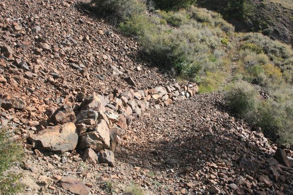
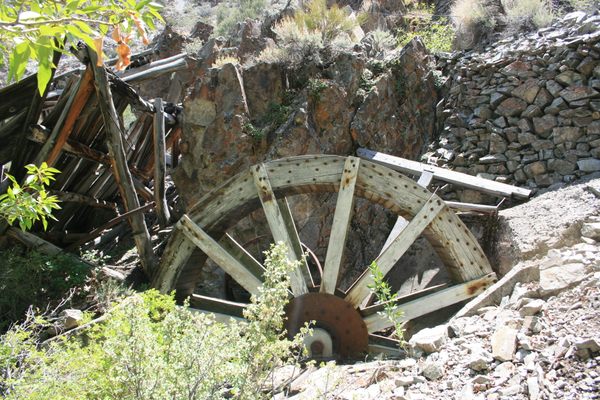
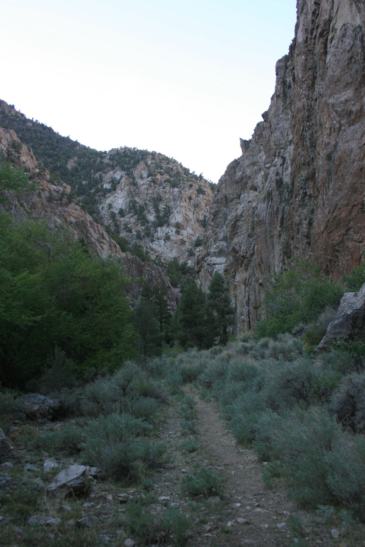
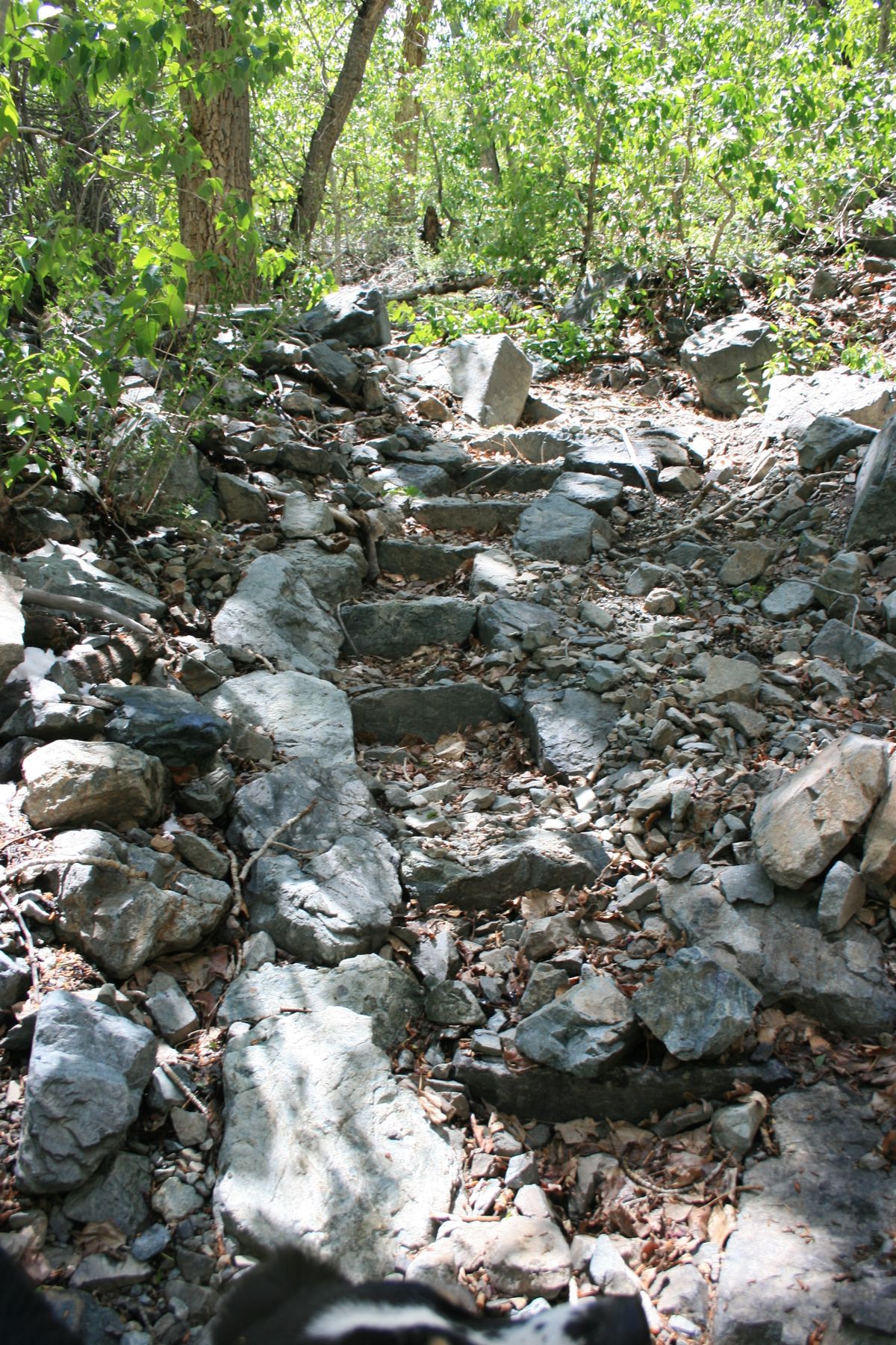
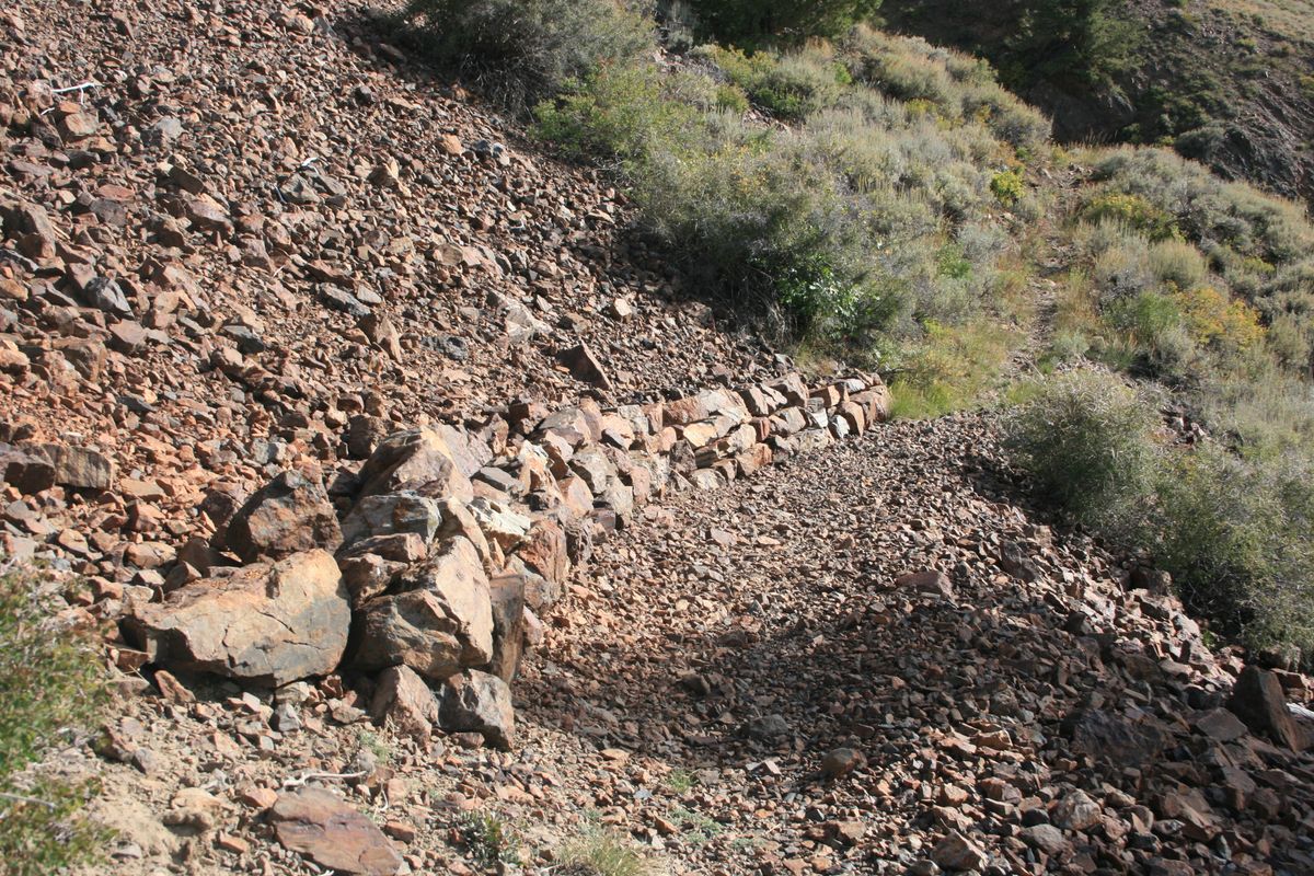
The trail was built by the Civilian Conservation Corps in the 1930s, when the area was really the back-of-beyond. Here and there you can see some rock walls and steps that are still preserved. The range is much drier than the Sierra Nevada, but there are some perennial streams in the lower elevations; all water should be treated, and enough carried! Snow can also linger in the higher elevations into summer.
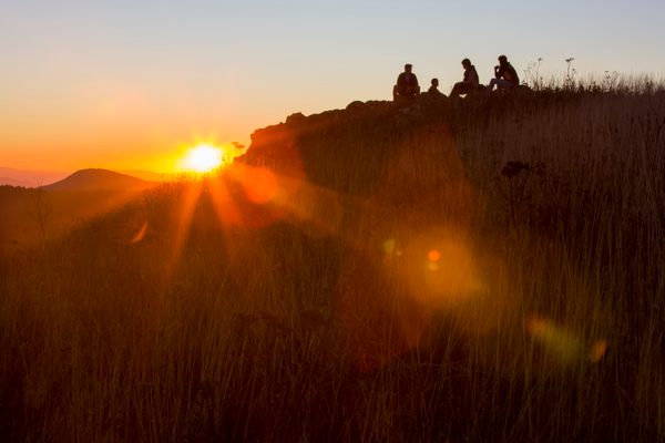
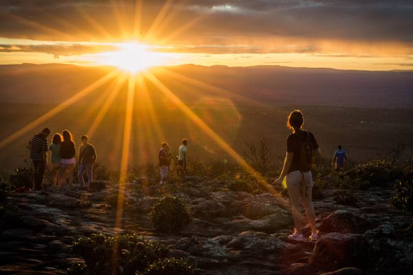
Only experienced hikers should attempt this trail. An emergency satellite beacon is strongly recommended; if you have trouble you're unlikely to meet any other hikers. It probably doesn't need to be said, though, that if you want the true wilderness experience, this is it! Sweeping views, sublime stillness, the sense of having the whole planet all to yourself—it's all here.
Related Tags
Know Before You Go
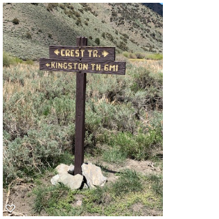
The north and south trailheads, in Kingston Canyon and at the mouth of South Twin River respectively, are accessed by graded roads that should be passable in dry weather to ordinary passenger cars. For Kingston Canyon, turn west off Nevada SR 376 (Big Smoky Valley highway) on the Kingston Canyon road and follow it through the village of Kingston, where it turns into US Forest Service road 002. The trailhead is on the left, past Groves Reservoir, about 5 miles past the end-of-pavement. There is a US Forest Service campground about halfway along, but there is no longer lodging available in Kingston itself. To get to the South Twin River trailhead, take USFS road 080 west off SR 376. (This trailhead is shown as the address.) This road makes a loop; the southern part of the loop is usually in better repair. As of this writing no permit is required for the Arc Dome Wilderness, either for camping or day use.
Intermediate trail access is possible in a few places, but requires a four-wheel-drive high-clearance vehicle, and significant hiking will still usually be required to reach the trail proper from the end of the road. Consult the topographic maps. The Forest Service has versions of the US Geological Survey 7.5' quadrangle maps available online as pdf files. They're the most useful versions because they're both current and show the USFS route numbers.
Published
May 24, 2021