


About
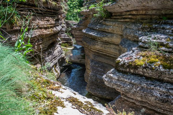
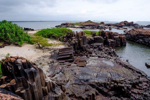
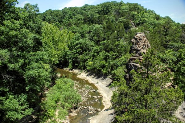
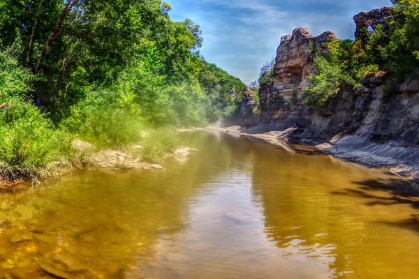
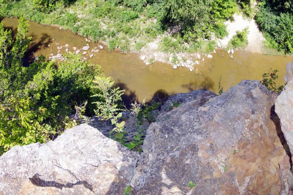
It’s common for steep cliffs to be formed by rivers eroding their rocky edge over time. But in Boone County, Missouri, something curious happened. A mass of 300 million-year-old limestone wedged between two rivers was eroded over the years on both sides, forming a geological anomaly known as the pinnacles.
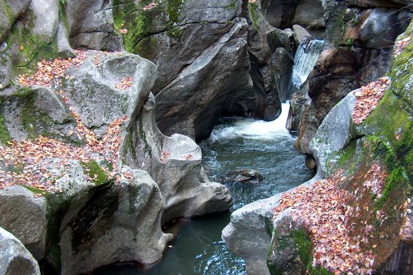
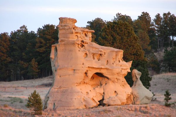
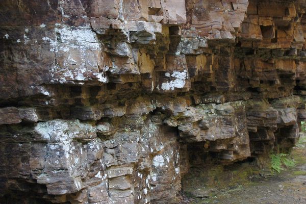
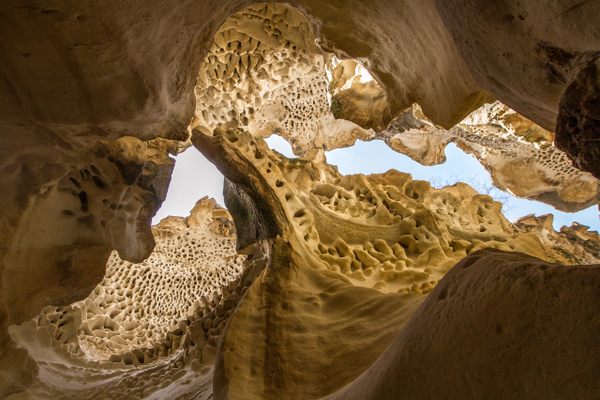
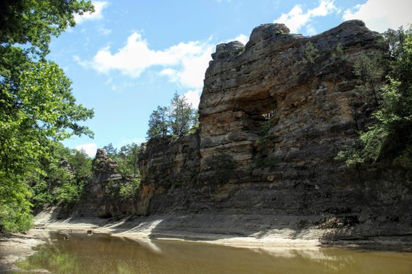
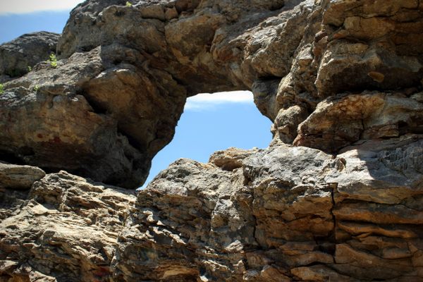
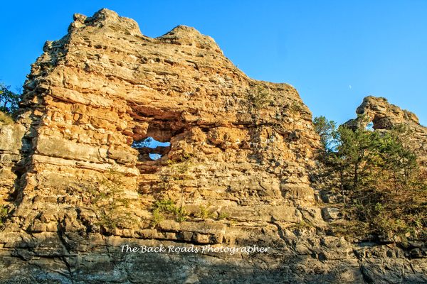
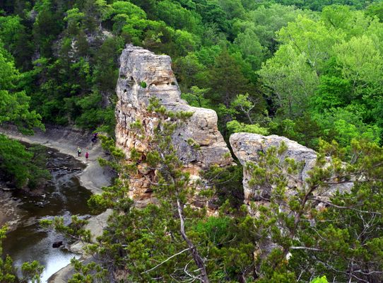
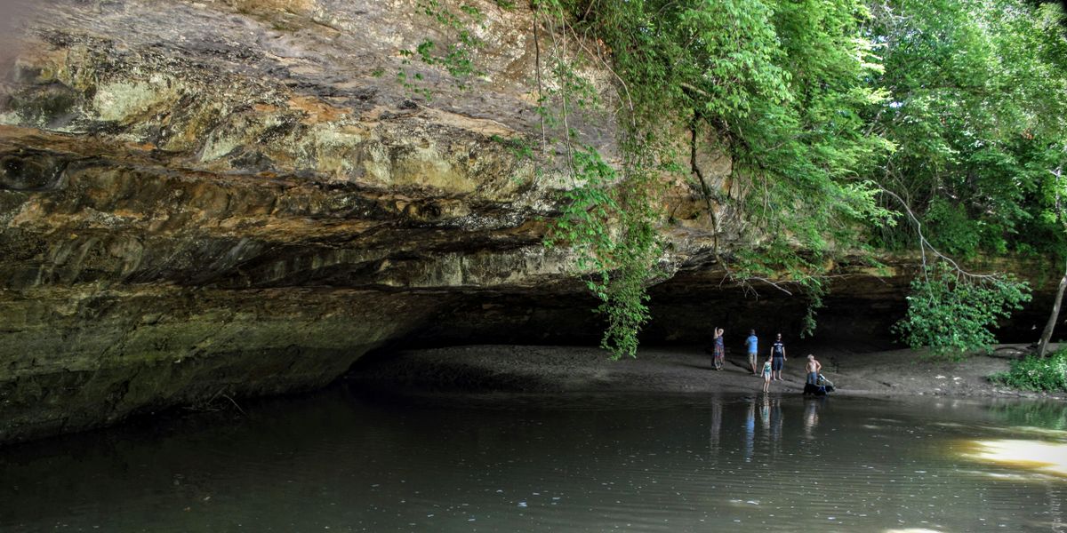
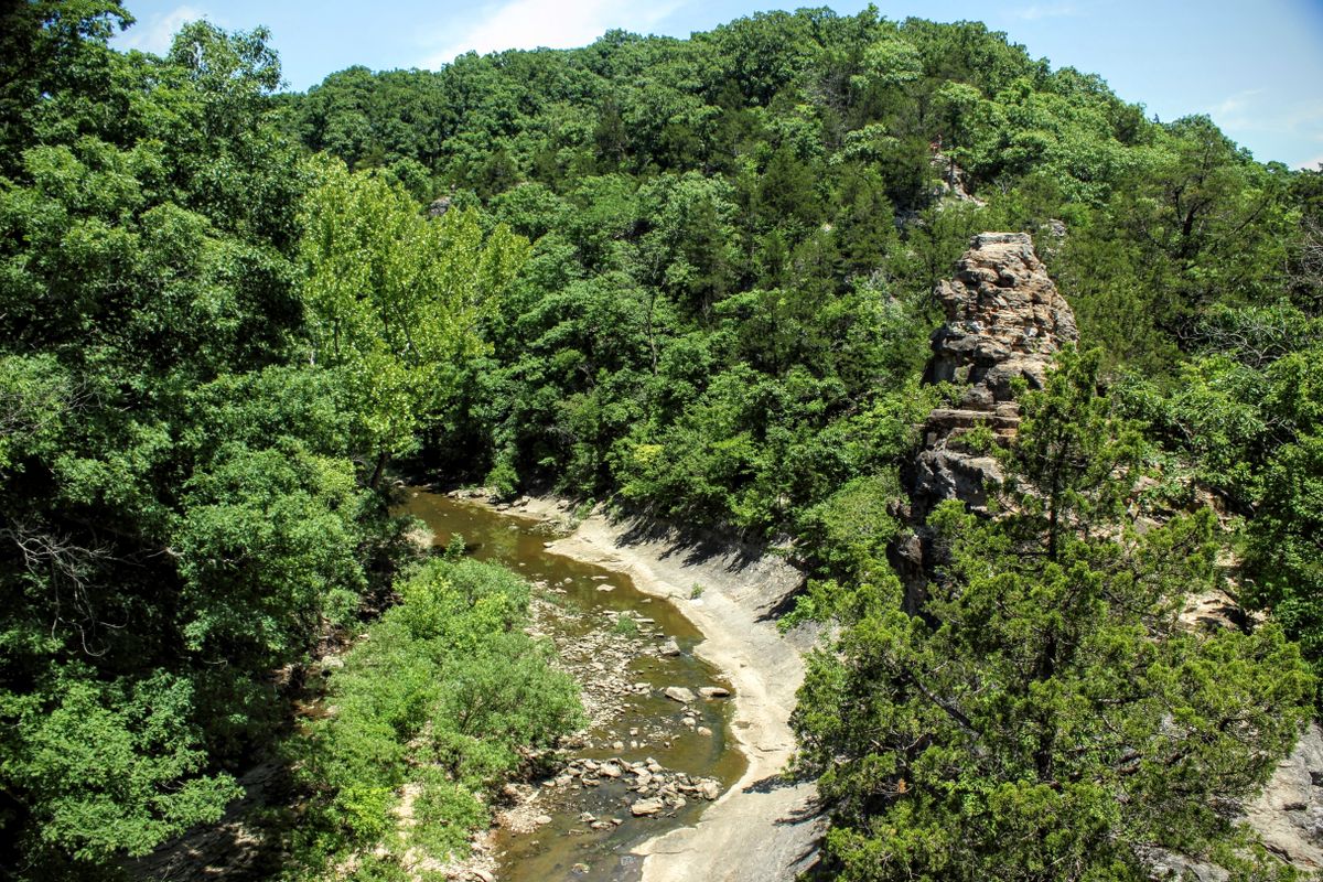
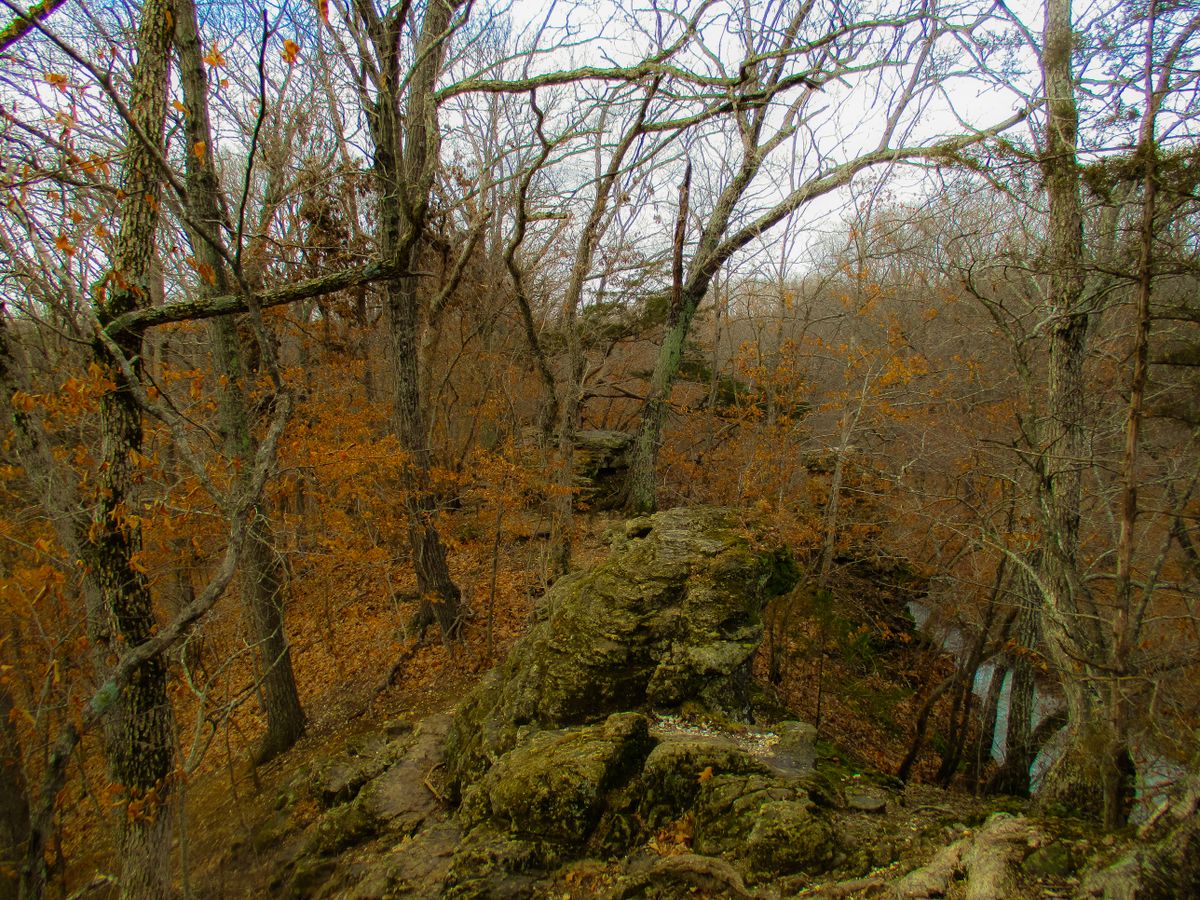
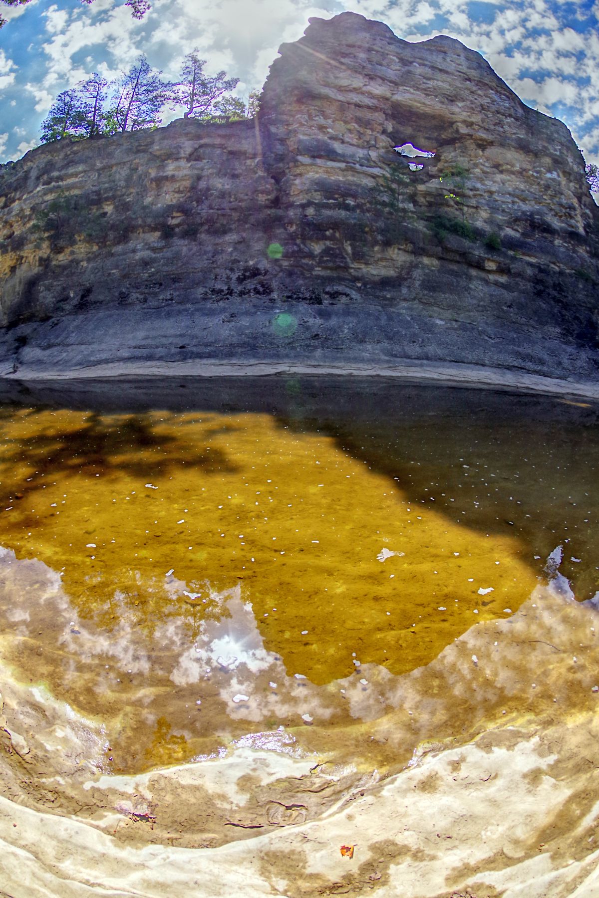
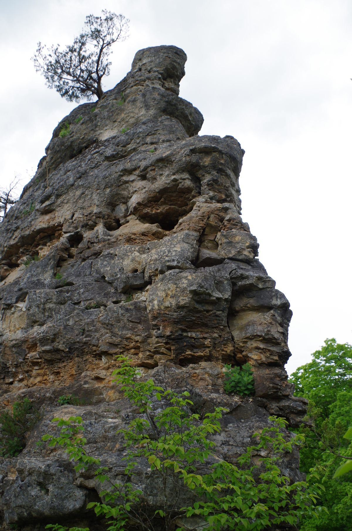
The pinnacles in Missouri (not to be confused by the California national park of the same name) is a jagged, pointy rock formation standing 75 feet high and stretching 1,000 feet long. Bordered on one side by Kelley Creek and on another by Silver Fork Creek, the two streams have been slowly pinching the mass of Burlington limestone separating them, a highly reactive stone that's dissolved by moving water. Some parts of the stone were even carved out entirely, creating little tunnel-like windows dotting the vertical rock face.
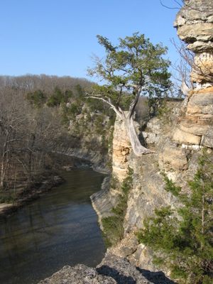
The craggy peaks are now a unique and often overlooked landmark, part of the 77-acre Pinnacles Youth Park, about 15 miles north of Columbia. In many ways, this geological oddity has created a natural playground for we humans. The rocky archways, limestone boulders and carved out shelves make the site excellent for hiking and climbing.
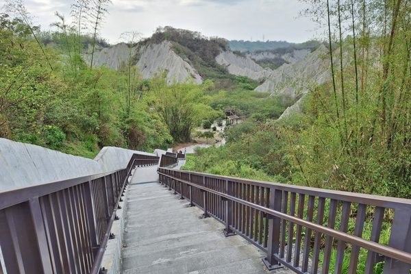
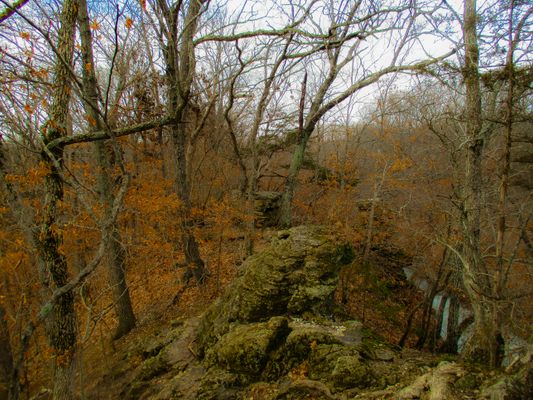
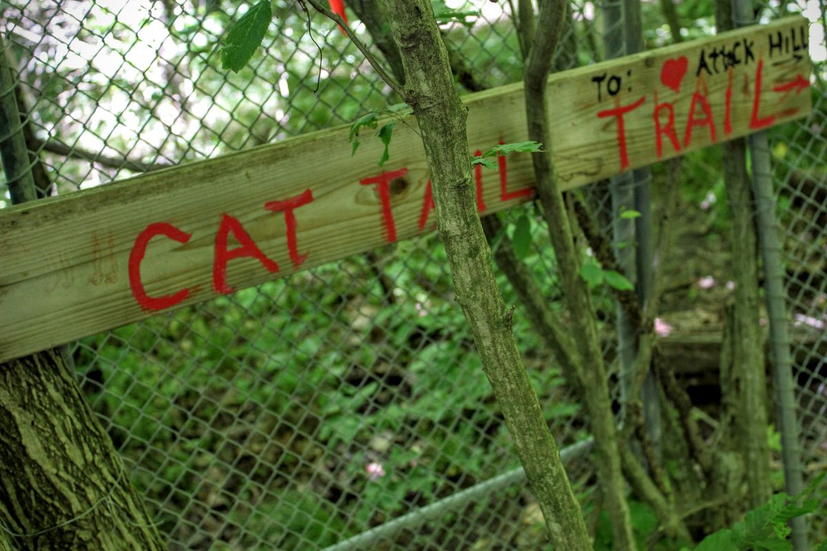
A one-mile trail starts at a break in the trees on East Pinnacles Road, where a sign informs visitors that they are following the “Cat Tail Trail to Heart Attack Hill” and ascends quickly to the first of several awesome views of the valley below. Indeed, massive flat limestone exposures provide the perfect spot to sit back in the shade and enjoy the breeze drifting through the trees.
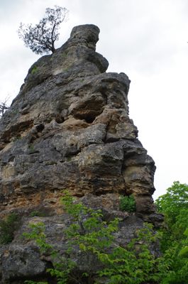
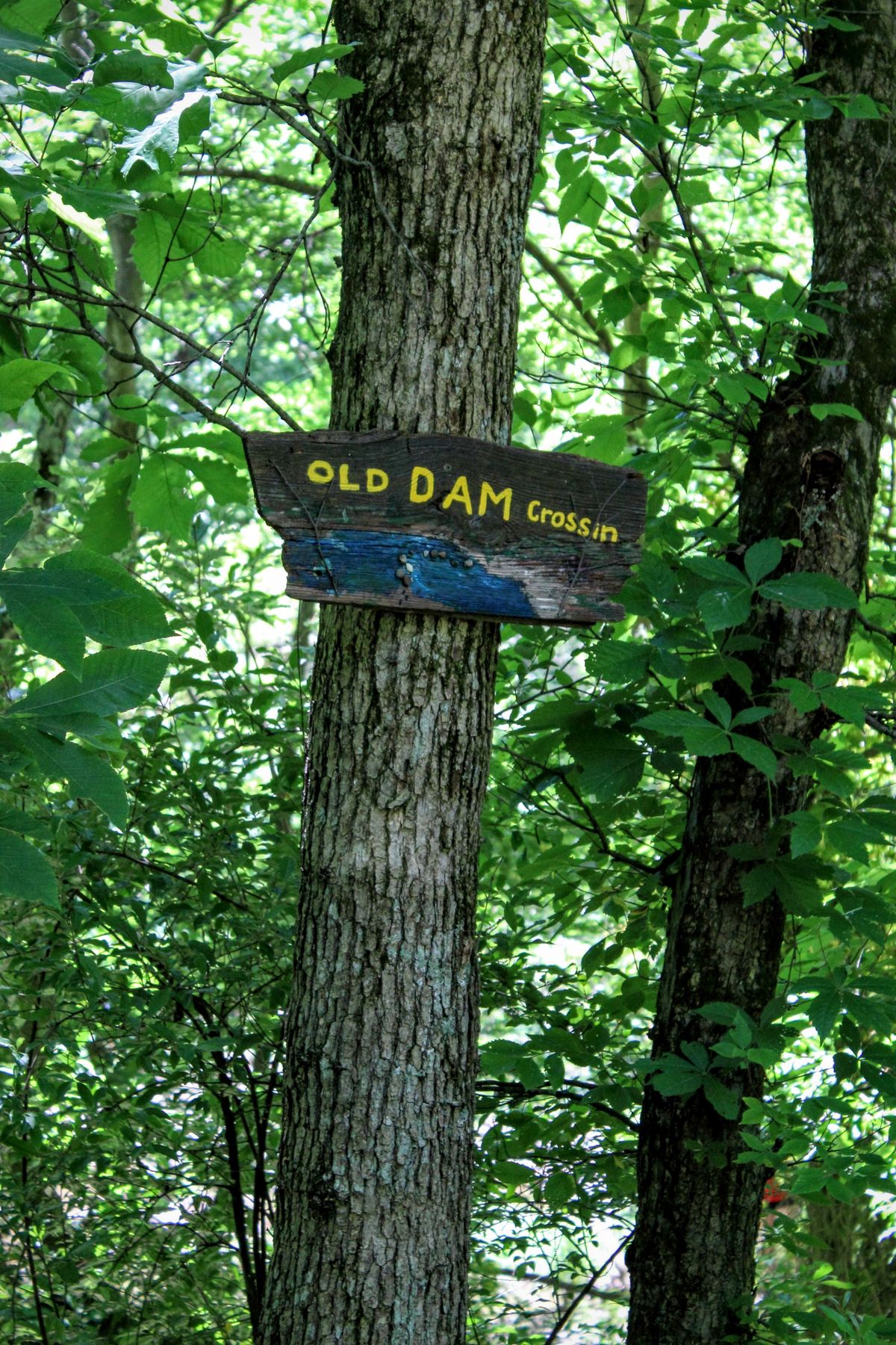
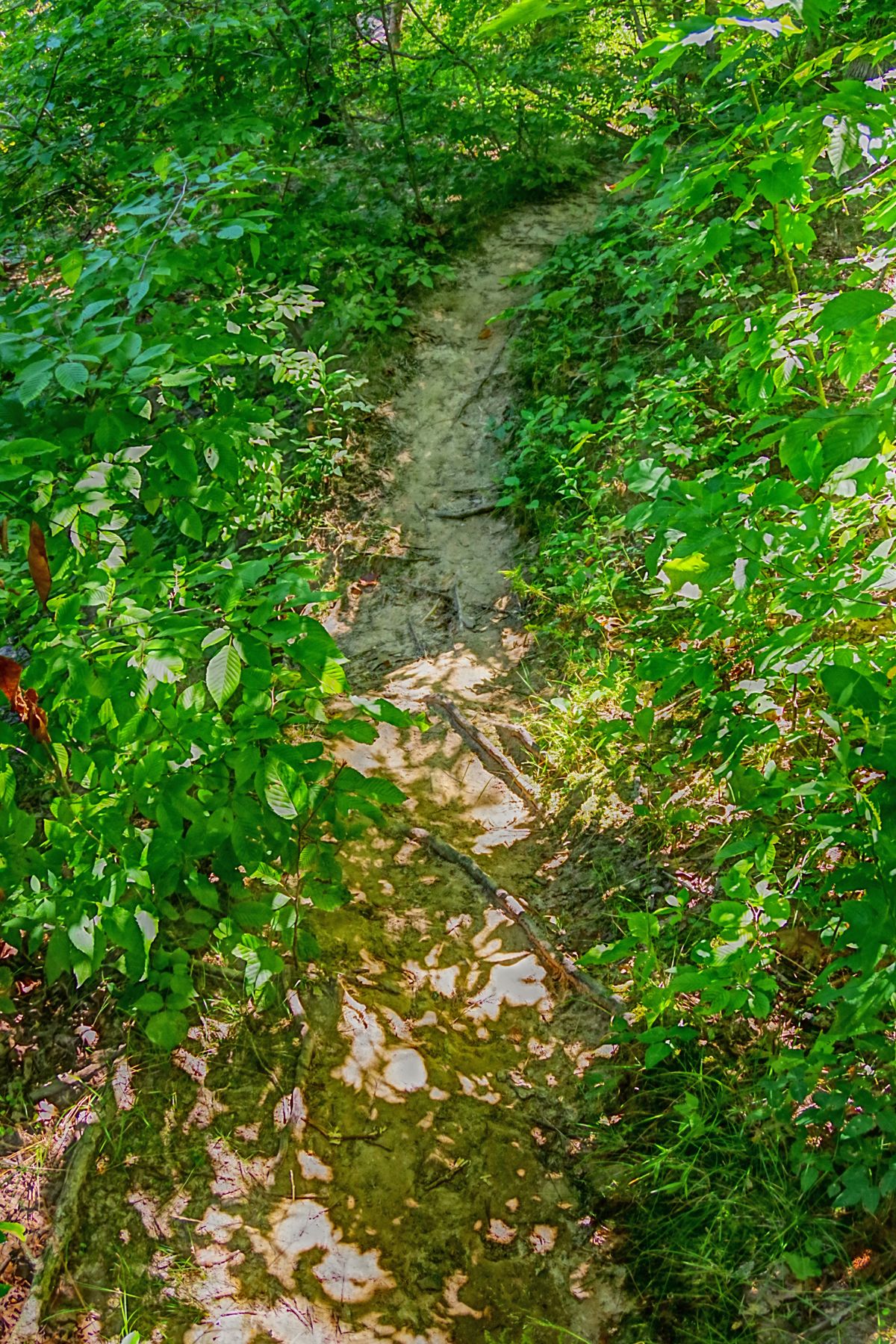
Continuing along the trail, it narrows along the edge of the peaks — in some places, it's one foot in front of the other, making sure to keep a hand on the limestone wall. Descent is gradual and leads back to Silver Fork and the “Old Dam Crossin.” You can follow the creek farther to another interesting geological feature, a narrow formation known as Shelving Rock, which is the result of the creek undercutting the limestone, and beginning a new phase for the pinnacles.
Related Tags
Know Before You Go
Wear jeans when hiking. The poison ivy can be thick. Good hiking shoes are recommended if you plan to climb on the structure. Directions: From the intersection of Highways 63 and I-70 in Columbia, go 13.9 miles north on Highway 63. Turn right on Pinnacles Road and turn right at the T. Go straight for .6 mile into the parking lot for the area. Hours Open: The area is open year-round from 8:00 a.m. to sunset. Facilities: Grills, picnic tables, and restrooms are provided. Three picnic shelters are available; priority is given to groups with reservations.
Community Contributors
Added By
Edited By
Published
June 9, 2016