


About
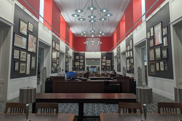
Within the campus of the University of Wisconsin-Milwaukee is a geographer’s treasure trove: More than a million artifacts from the American Geographical Society, one of the most incredible collections of maps, atlases, and globes to be found anywhere in America.
It's an inconspicuous home for such a storied collection: This is the final resting place of the library of the illustrious American Geographical Society. Once a powerhouse of exploratory resources, the organization had fallen on hard times in the late 1970s. The private donations and corporate funding on which it relied had reduced to a trickle, and the Society sold its imposing neo-classical headquarters in Manhattan. Eventually downsizing to a small rental office in Brooklyn, the Society was adamant that its unparalleled collection should be kept intact and undertook a nationwide search for a suitable home.
Faculty members of the geography department at UWM applied. Although barely 20 years old, the university had a brand new library building large enough to house the collection, and the decision was made to send the collection to Wisconsin in 1978.
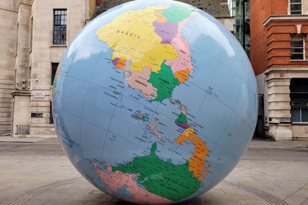
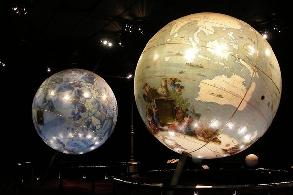
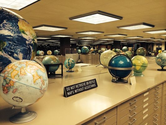
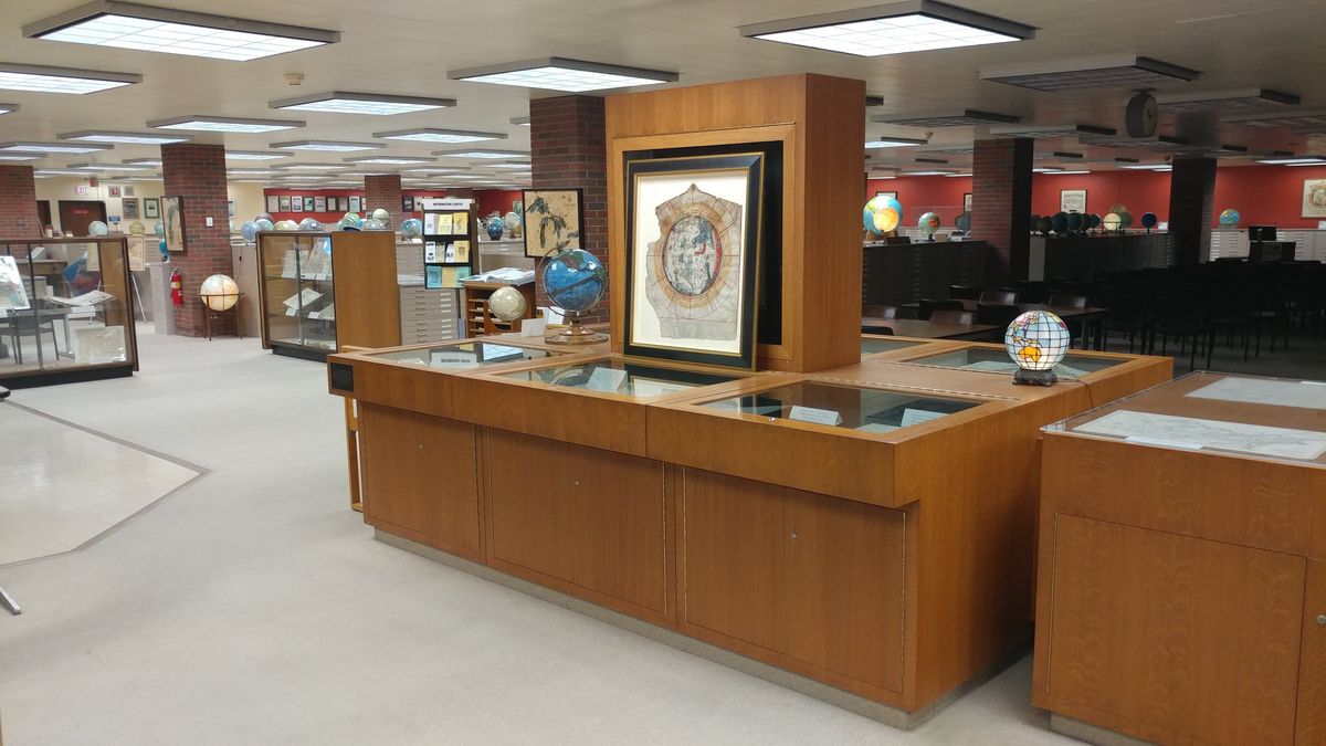
Entering the library, the first thing that strikes you is the number of globes—hundreds are on permanent display, including one dating to as early as 1613. The largest globe is a rare example of the giant “President’s Globe.” Made during World War II by the Office of Strategic Services (predecessor to the CIA), the 50-inch-diameter globes were made for President Roosevelt and Prime Minister Winston Churchill. Weighing over 700 pounds, and thought to be the most detailed and accurate globes made up to that point, they were meant to give FDR and Churchill identical reference sources as they plotted war plans. Roosevelt kept the giant globe next to his desk in the Oval office, and now it can be found in his former home in Hyde Park. The globe on display in the AGS library was one of 12 to 15 originally made by Weber Costello out of Chicago. Others were constructed for the Air Force and the Office of War Information.
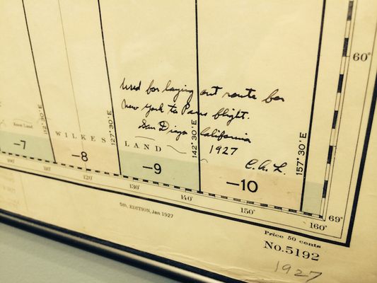
On the wall of the “rare room,” past shelves of vellum-bound atlases from the 1600s, is a map of the world with a single arched line stretching over the Atlantic. The inscription reads, “used in laying out great circle course for New York to Paris flight,” and it is initialed C.A.L. This is Charles Lindbergh’s hand-drawn navigation map from his record flight in 1927. It was donated to the AGS by Lindbergh himself. Another series of nearby maps, dated 1770, are signed “Lieut. J. Cook, Commander of His Majesty’s Bark the Endeavour” and date to Captain Cook's exploration of the east coast of Australia.
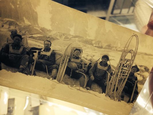
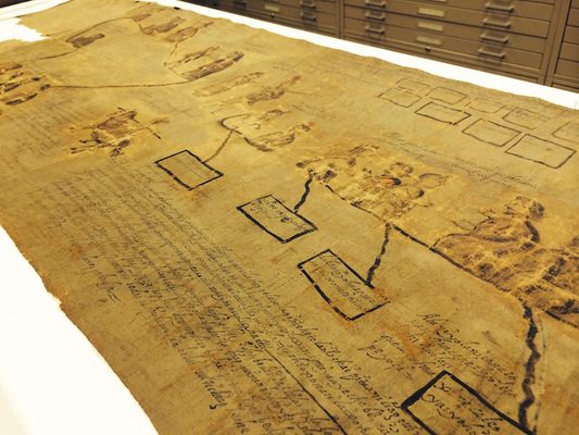
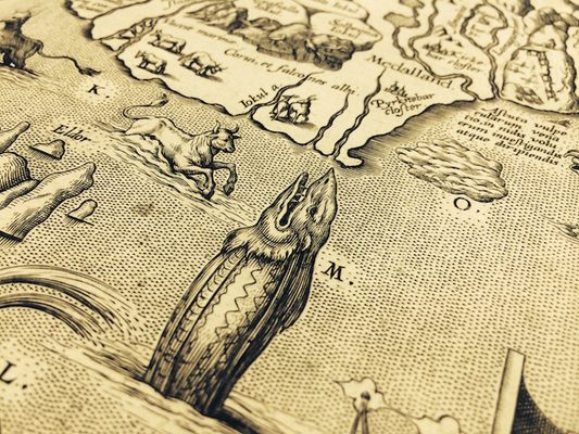
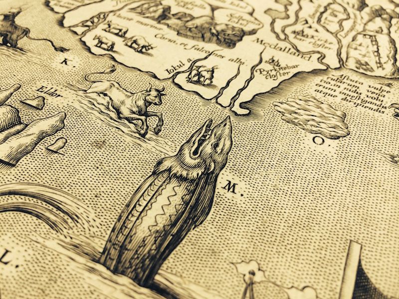
Today the collection stands at roughly 500,000 maps, 200 globes, and 12,000 atlases. There are more than 600,000 pictures in the media collection, including nitrate negatives and glass plates, many of which don’t exist anywhere else. They record countless expeditions undertaken by the Society, as well as important events in world history and geographical discoveries. Rows upon rows of shelves are filled with rare travelogues from the golden age of Victorian exploration, with titles such as “The Wild Tribes of the Soudan,” “The Unknown Horn of Africa,” and “The Cave Dwellers of Southern Tunisia."
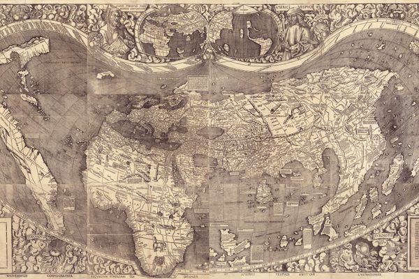
The oldest map in the collection dates from 1452. One of only three surviving Mappa Mundi drawn by the Venetian cartographer Giovanni Leardo, it is considered one of the finest example of Renaissance map making, and the only one to be found in America. It is an extraordinary example of how our world was viewed at the time by Europeans, with Jerusalem as the epicenter, the Mediterranean Sea running north to south, and featuring the only three known continents: Asia, Europe, and Africa.
All this and more is waiting to be discovered in the collection by intrepid explorers.
Related Tags
Published
March 13, 2016