


About
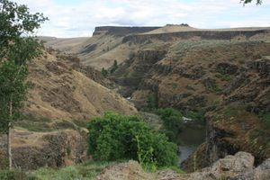
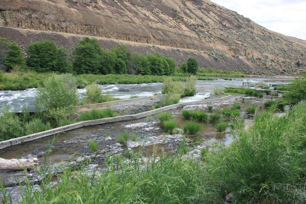
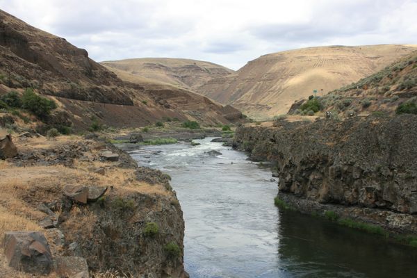
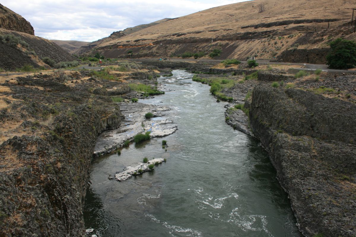
The Deschutes River flows north along the east side of the Cascade Mountains, joining the Columbia east of The Dalles. The lower part of the river remains undammed and thus supports a vestigial salmon run.
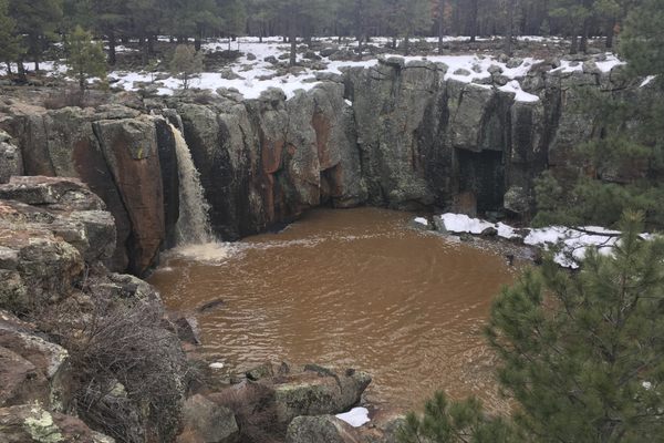
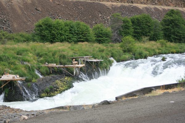
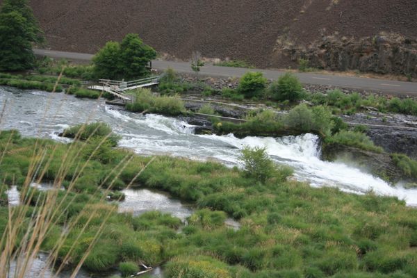
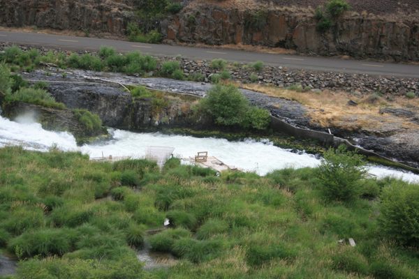
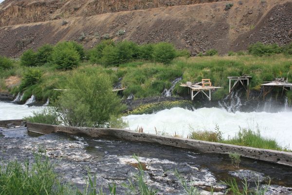
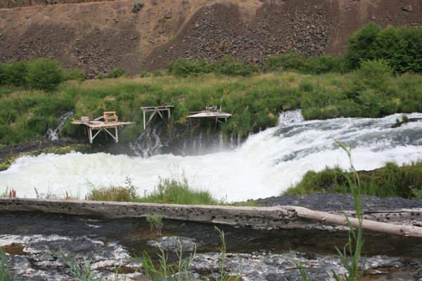
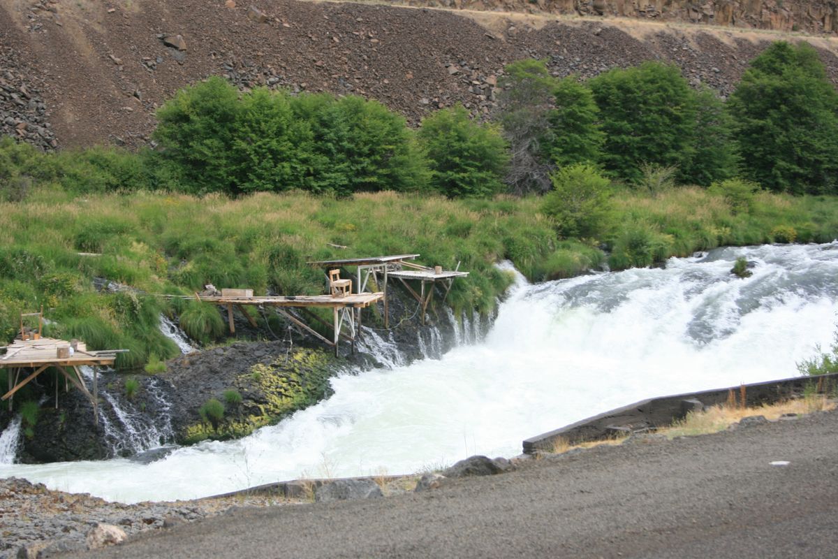
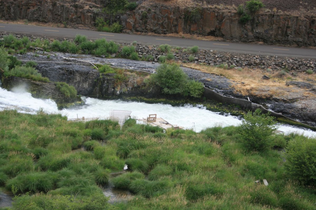
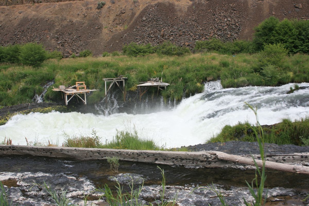
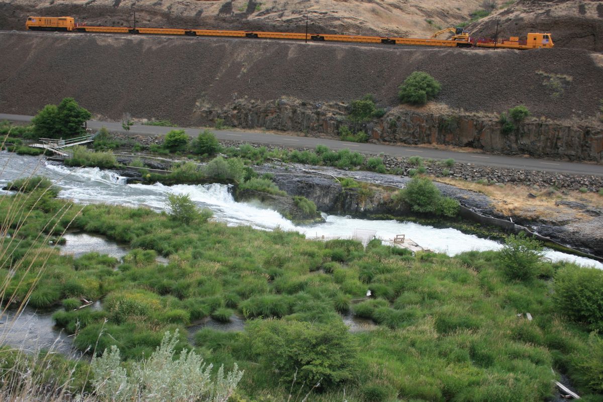
At Sherars Falls, the Deschutes drops into a narrow slot forming a cataract so turbulent it's a mandatory portage even for whitewater craft. The salmon have to pass the cataract by making multiple jumps up it, and they can be netted from platforms built out over the river. The tribe also sells fishing permits to non-members.
Sherars Falls was given to the tribes in partial (and inadequate) compensation for the loss of the traditional fishing grounds at Celilo Falls on the Columbia River. Those falls were drowned by The Dalles Dam in the late 1950s.
Related Tags
Know Before You Go
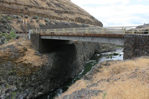
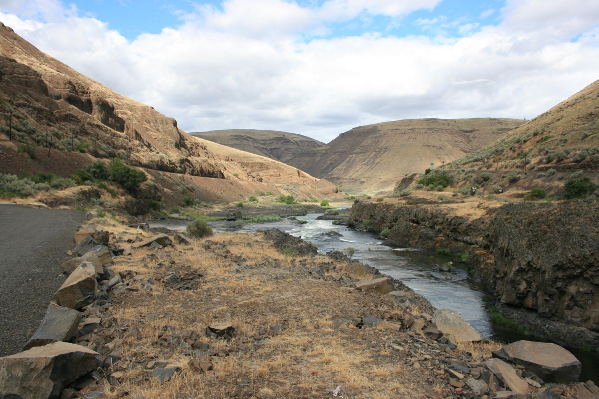
Oregon State Route 216 crosses the Deschutes River at Sherars Bridge, just downstream of the falls, and then runs along the west bank of the river up to the falls. The east side of the falls is reached from the Deschutes River Access Road, which intersects SR 216 just east of Sherars Bridge.
Community Contributors
Added By
Published
May 13, 2022