


About
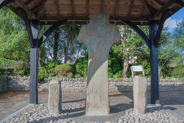
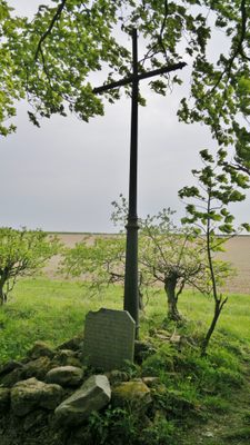
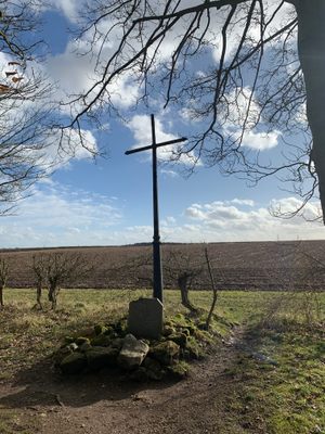
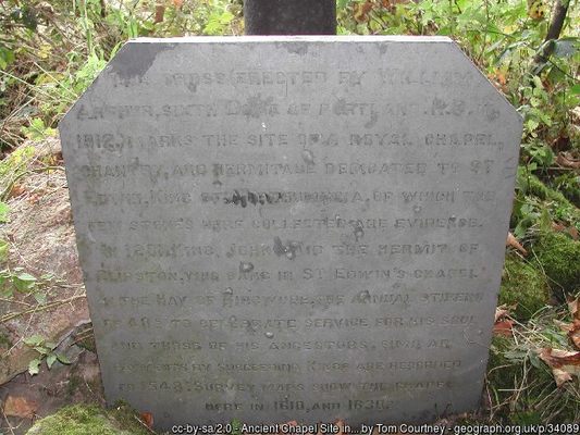
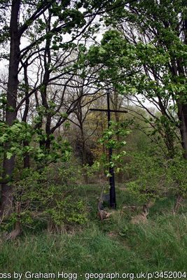
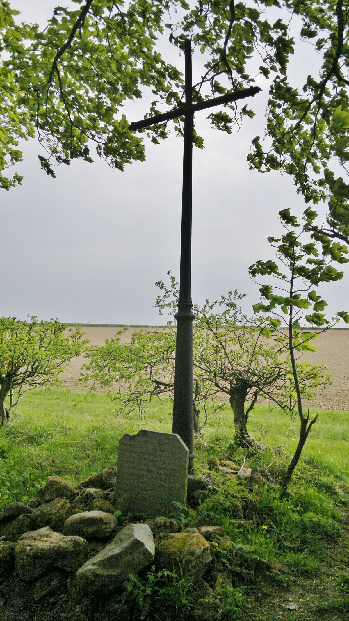
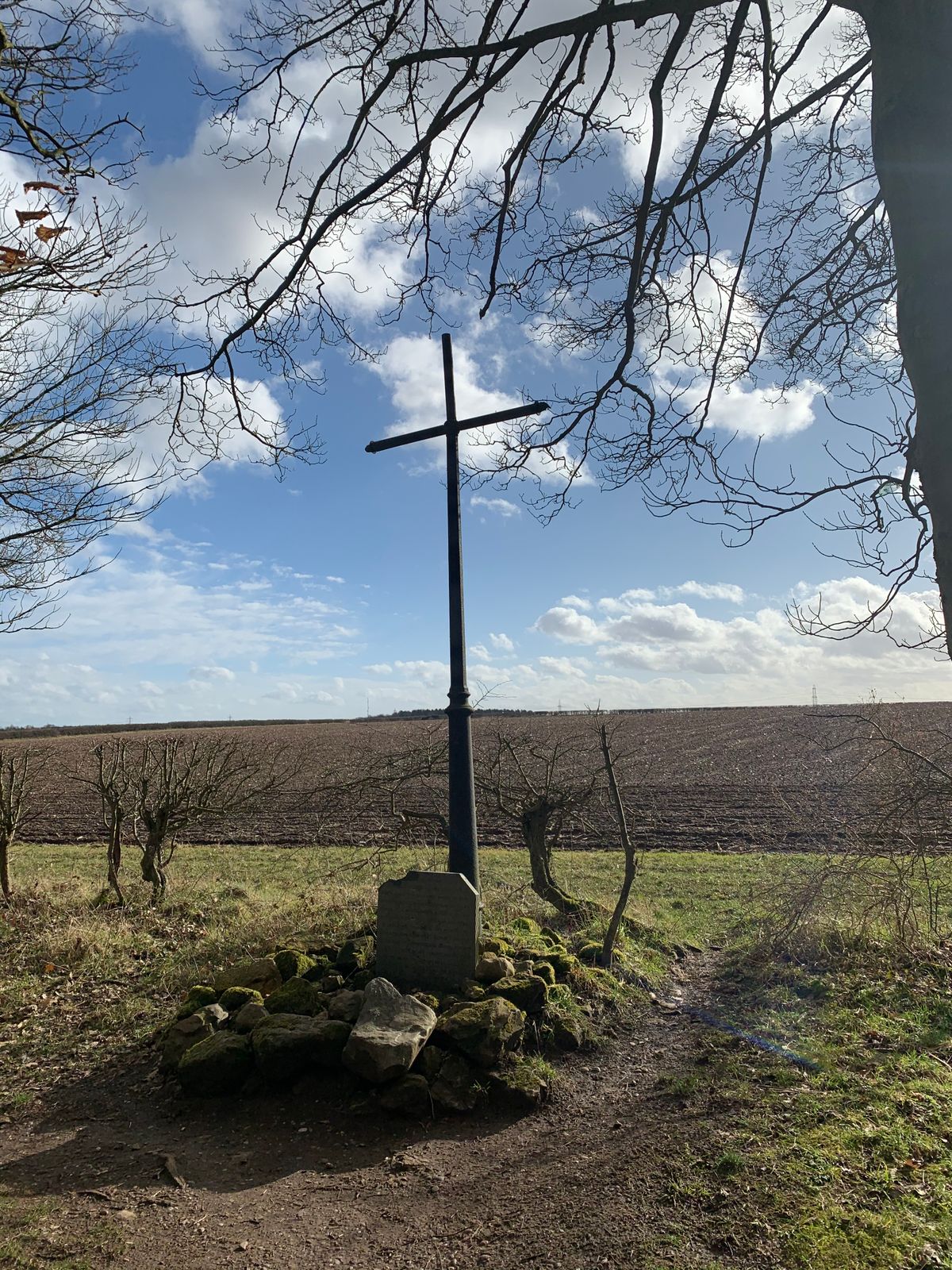
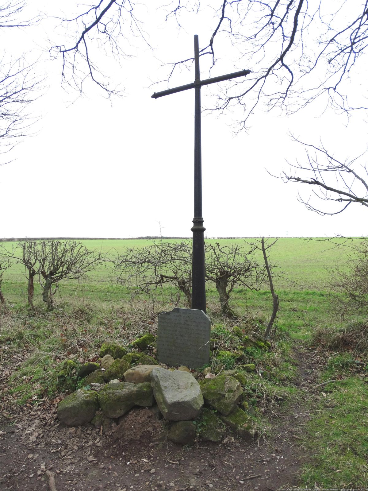
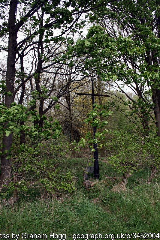
Erected by the Duke of Portland in a quiet corner of Sherwood Forest, Nottinghamshire, this large metal cross marks the location of a ruined chapel or shrine. Often overgrown, the diminutive holy site was dedicated to the beatified dark age King of Northumbria, Edwin, who was killed at the enigmatic Battle of Hatfield in 632 AD.
The combatants in this battle of warring kingdoms were the Northumbrians, led by their ill-fated Christian King Edwin against an Anglo-Welsh pagan alliance of the Kingdoms of Mercia and Gwynedd. After falling in battle, King Edwin’s body was carried north to the Northumbrian capital, York.
Due to the works of William Camden, a 16th-century historian writing 900 years after the conflict, the battlefield has long been assumed to be at Hatfield, just outside Doncaster. But no firm archaeological evidence for it has been found there, and 600 years later, historians and archaeologists have begun to question Camden's facts.
Saint Edwin's Chapel Cross lies just outside the village of Edwinstowe, 30 miles south of Doncaster. The village name means “Edwin’s Resting Place,” so-called because the King’s cortege stopped there on its way to York after the Battle of Hatfield, possibly at the site marked today by the cross.
Yet strangely, York is 30 miles north of Camden's supposed Doncaster battlefield and Edwinstowe and its cross are 30 miles in the opposite direction. Unless the defeated Northumbrians got lost, the location of Saint Edwin’s Chapel Cross hints that perhaps the true site of the decisive battle was somewhere else entirely.
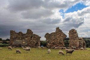
Some modern scholars have zeroed in on a spot they think may hold a clue to the battle’s true location. The area around Cuckney, three miles from Saint Edwin's Chapel Cross, was historically known as Hatfield, the word being a reasonably common old English name for a heathland clearing. In 1951, a mass grave of 200 male skeletons was unearthed in Cuckney. The remains were hastily reburied in the village churchyard in an undisclosed location. Little investigation was done at the time, but the ancient remains were potentially contemporary with the decisive and enigmatic battle.
This archaeological evidence for the existence of the mass grave tantalizingly close to the reputed location of “Edwin's Resting Place” has led 21st-century historians and archaeologists from Mercian Archaeological Services and the Sherwood Forest Archaeology Project to investigate whether the location of one of Britain’s final pagan victories over a Christian army ought to be entirely rethought.
Related Tags
Know Before You Go
The cross lies on the edge of woodlands on the route of the Robin Hood Way long distance footpath, close to the A6075 Mansfield Road. Head out of Edwinstowe on the A6075 toward Mansfield, the road passes through a short stretch of woodland. Park in a small layby on the right and from there follow the signposted Robin Hood way footpath northwest for half a mile.
Published
June 8, 2018
Sources
- http://battleofhatfield.webs.com/
- http://www.mercian-as.co.uk/reports/community_book.pdf
- http://www.mercian-as.co.uk/edwins.html
- http://www.mercian-as.co.uk/hatfieldsfap.html
- https://en.wikipedia.org/wiki/Bede
- https://en.wikipedia.org/wiki/Battle_of_Hatfield_Chase
- https://en.wikipedia.org/wiki/William_Camden
- https://en.wikipedia.org/wiki/Edwinstowe
- http://www.experiencenottinghamshire.com/towns-and-villages/edwinstowe-p453541
- http://www.bbc.co.uk/news/uk-england-nottinghamshire-24606011