


About
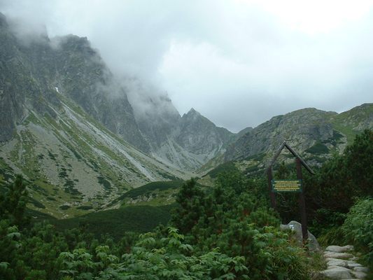
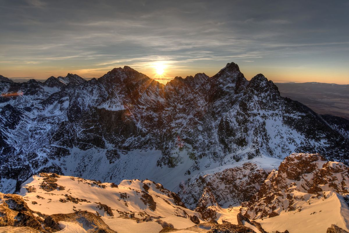
In the center of Tatra Mountains, one of the smallest mountain ranges in Europe, is a mountain that straddles the border of two countries. Almost one-fifth of the High Tatra mountain range is situated in Poland, the rest in Slovakia. This national border runs for 40 miles from the west on the main ridge to the summit of Rysy.
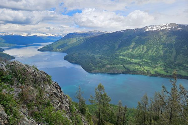
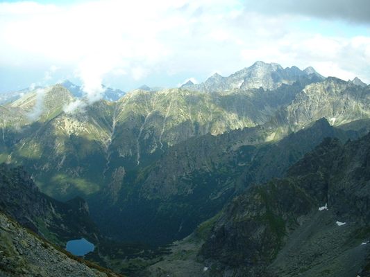
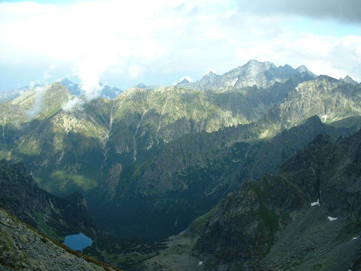
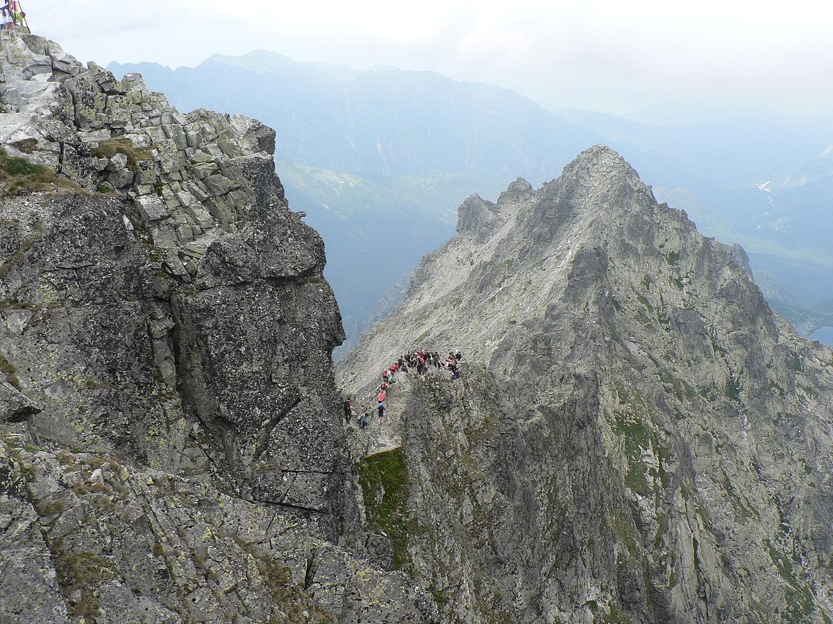
Rysy actually has three summits: the middle at 2,501 meters (8,205 feet); the northwestern at 2,500 meters (8,200 feet); and the southeastern at 2,473 meters (8,114 feet). The northwestern summit is the highest point of Poland. The other two summits are in Slovakia. From the top of the mountain, there are impressive views across the valleys into Slovakia and to the Polish lakes in the northwest.
The name of the mountain comes from the Polish and Slovak word for "scratches" or "crevices." It likely refers to one of the series of steep gullies on the western and northern sides of the mountain.
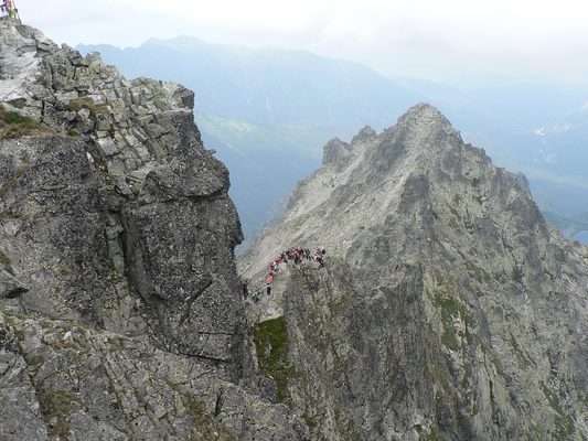
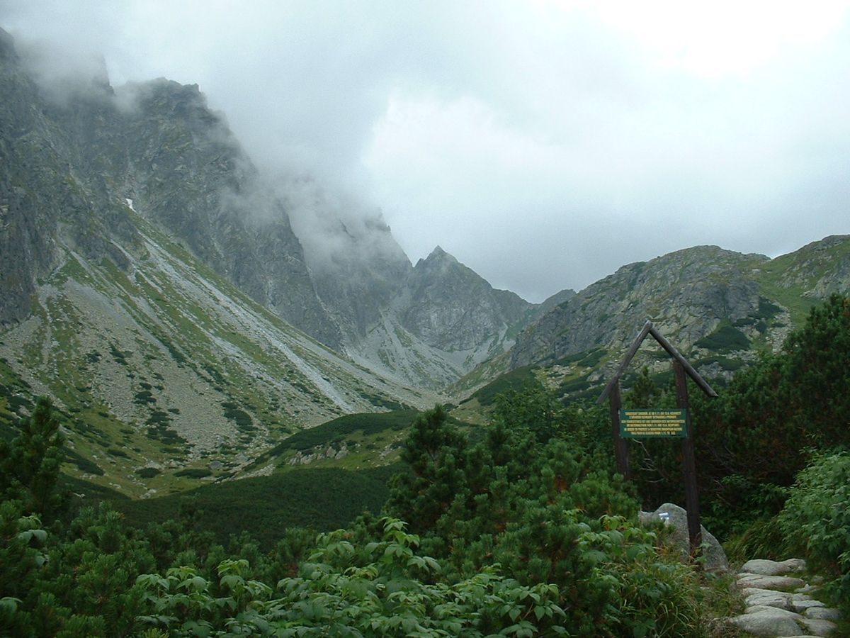
Rysy is the highest peak in the High Tatras that is accessible to walkers without the assistance of a mountain guide. Prior to the 2007 Schengen Agreement, border crossings between the two countries was only permissible at a customs and passport control point. Therefore a Rysy ascent and descent had to be along the same route.
Related Tags
Know Before You Go
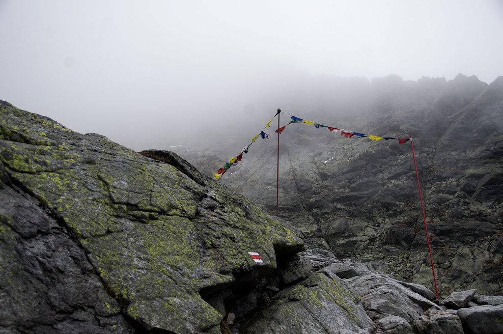
There are two main routes from the Polish side. The harder and steeper route and takes approximately 6.5 hours.
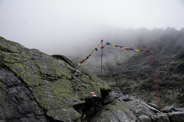
Between November 1st and June 14th the route from the Slovak side is closed. The entire Slovak route is marked, one area is secured by chains. There are two refreshment/accommodation huts along the route. Total walking time is approximately 8 hours.
Published
March 29, 2021