


About
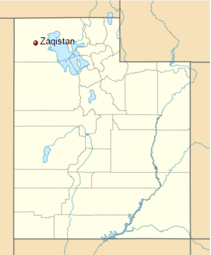
In 2005, New York resident Zaq Landsberg acquired two acres of hostile land in Utah's Evaporated Basin of the Great Salt Lake from eBay, sight unseen.
Though it sounds like something one might do in the midst of a night of heavy drinking – akin to purchasing that Japanese knife set from late-nite TV — Landsberg knew full well what he was doing. For a grand total of $610, the 30-year-old had successfully acquired the keys to his own personal country, which he continues to operate over a decade later as a self-described "art project" whose goal is to "become a real country."
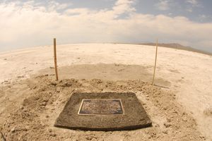
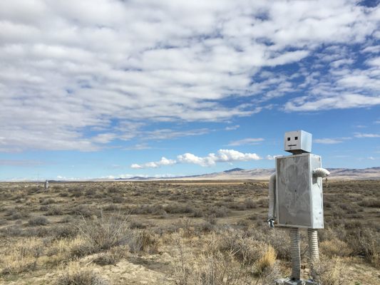
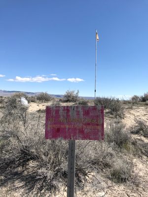
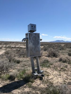
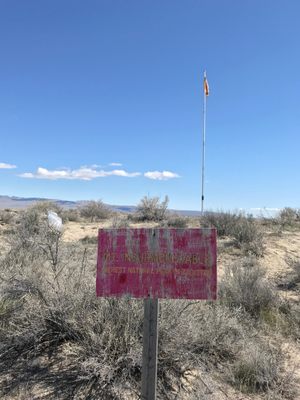
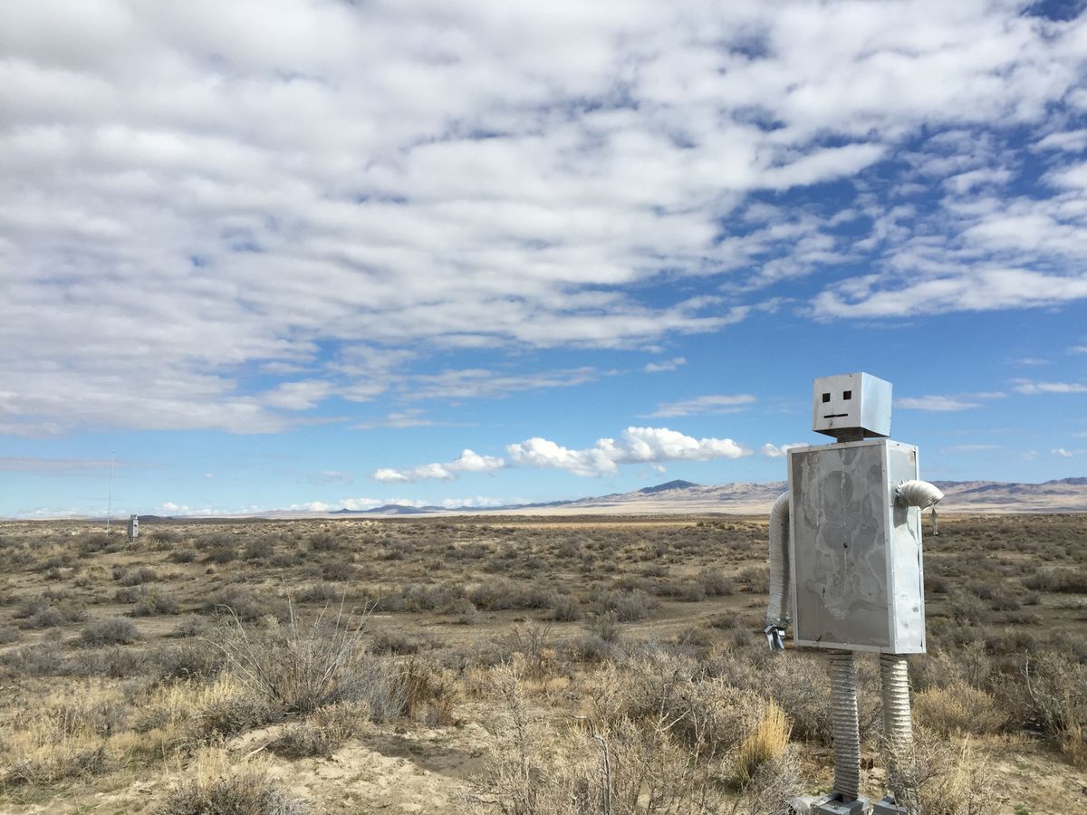
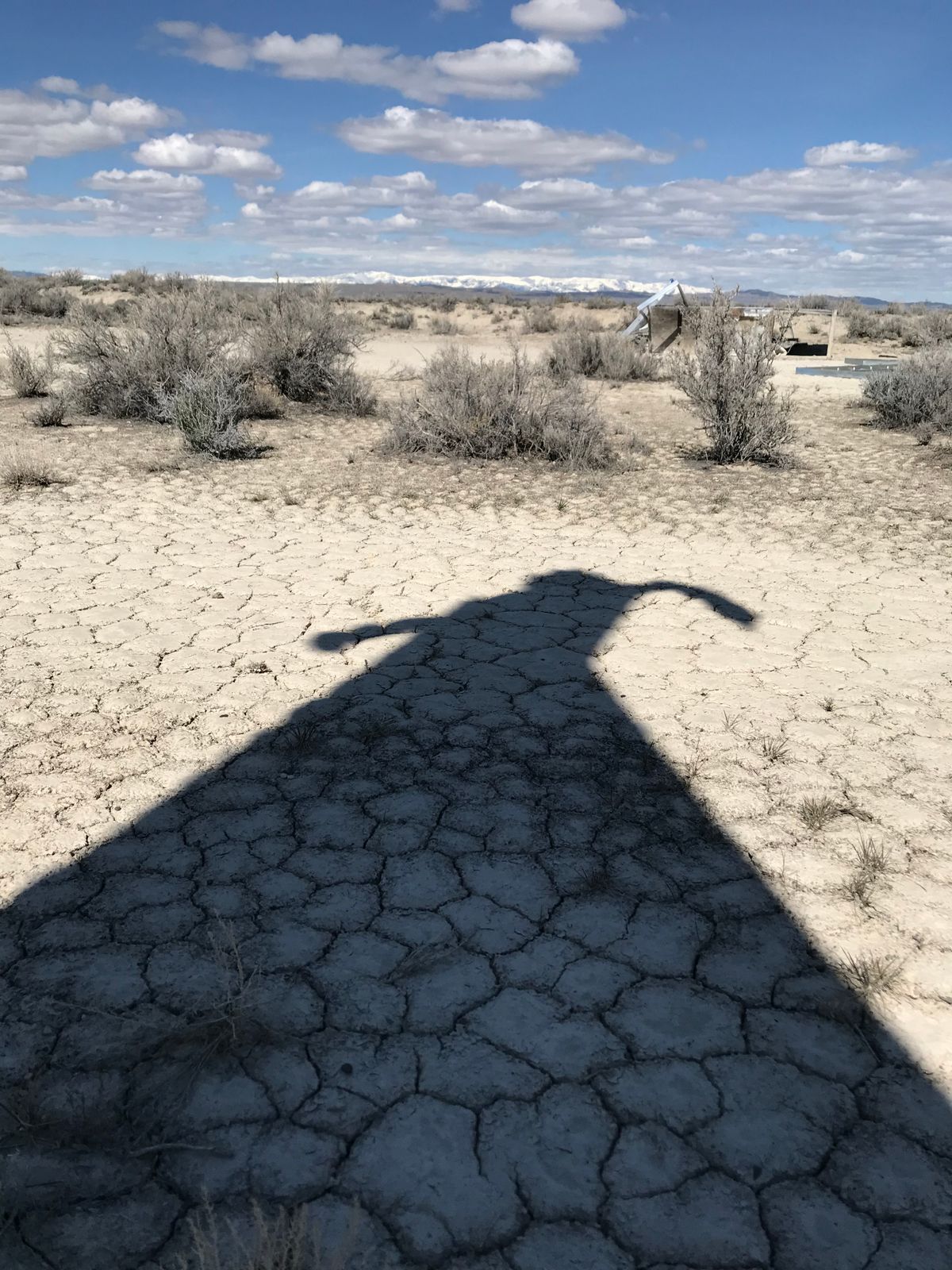
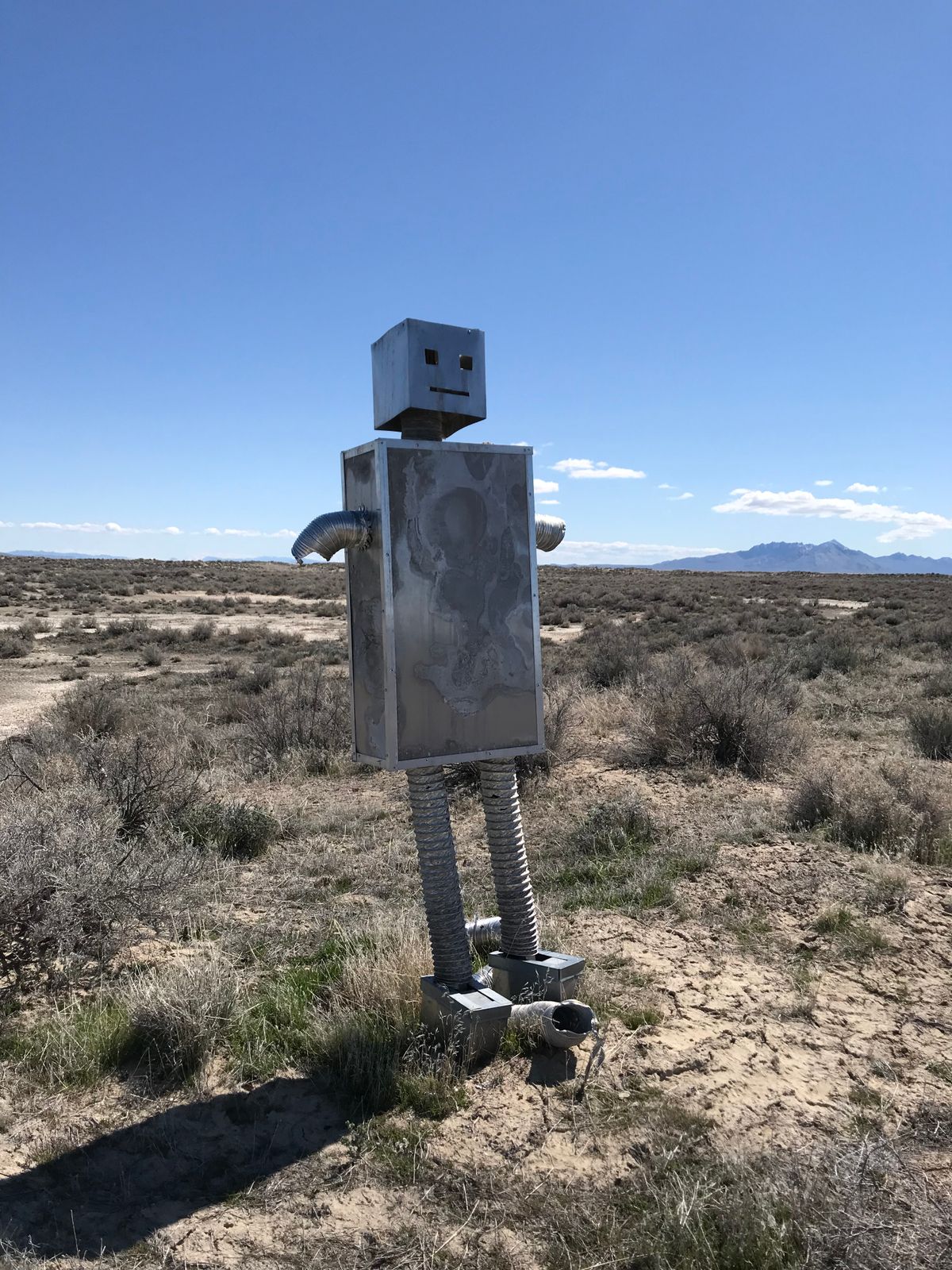
Since its founding, the Republic of Zaquistan has garnered national attention simply for existing; no permanent residents call the land home, though Landsberg and a cadre of Zaquistanis who've petitioned for citizenship from Zaqistan's Department of State make pilgrimages there once or twice a year. Features of the almost-country include zero permanent shelters or roads connecting the interior, one unmanned immigration booth, a newly-erected monument to the 10th year of Zaqistani Independence, one bed of plastic wildflowers, and a tiny natural rock formation deemed Mt. Insurmountable.
Despite issuing a Declaration of Sucession, and beginning to issue passports, one technicality stands in the way of the Landsberg's creation receiving official micro-nation designation: no other sovereign nation has recognized Zaqistsan as extant. A recent wave of international media attention directed at Zaqistan may remedy this sooner than even its founder had foreseen.
Related Tags
Know Before You Go
There are no services, a four-wheel drive is highly recommended. Bring water and supplies; it is a desert, after all. GPS - 41.439995°, -113.427328° There aren't really any "roads" going out to Zaqistan as much as just various dirt trails where other cars and ATVs have driven (there are many branches and turnoffs around, many of which do not take you to Zaqistan).
Services like Google Maps will not be able to get you directy you to Zaqistan as it doesn't recognize these trails as roads. The best way to get there is to take the old railroad grade road and then use satellite images of the trails to plot out your course. Cell signal can be spotty so make sure to tell somewhere where you're going, you will be around 15 miles off the paved highway.
Community Contributors
Added By
Published
January 20, 2016