


About
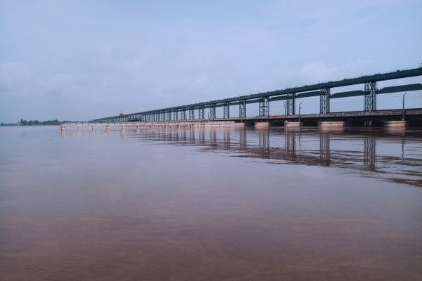
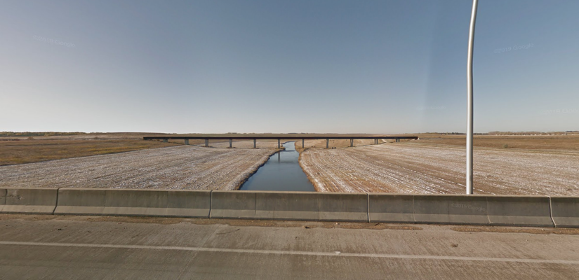
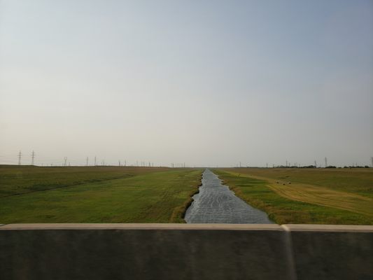
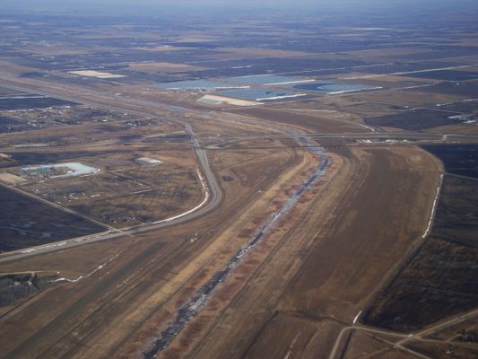
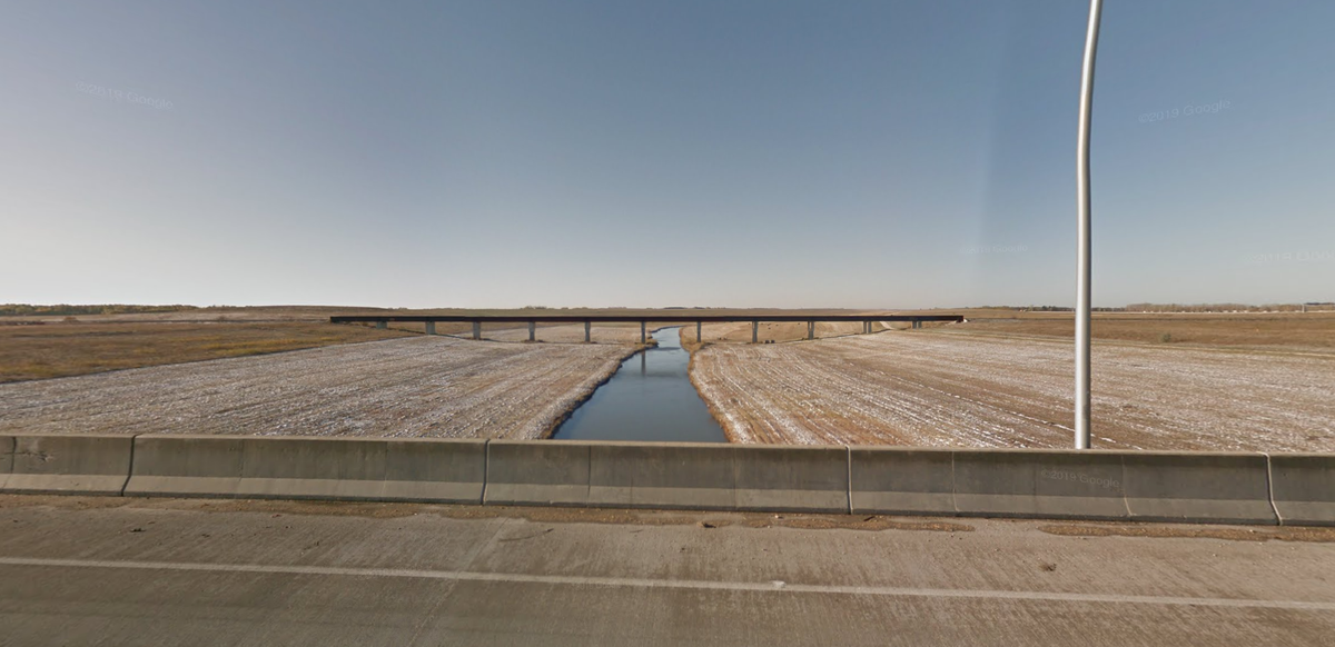
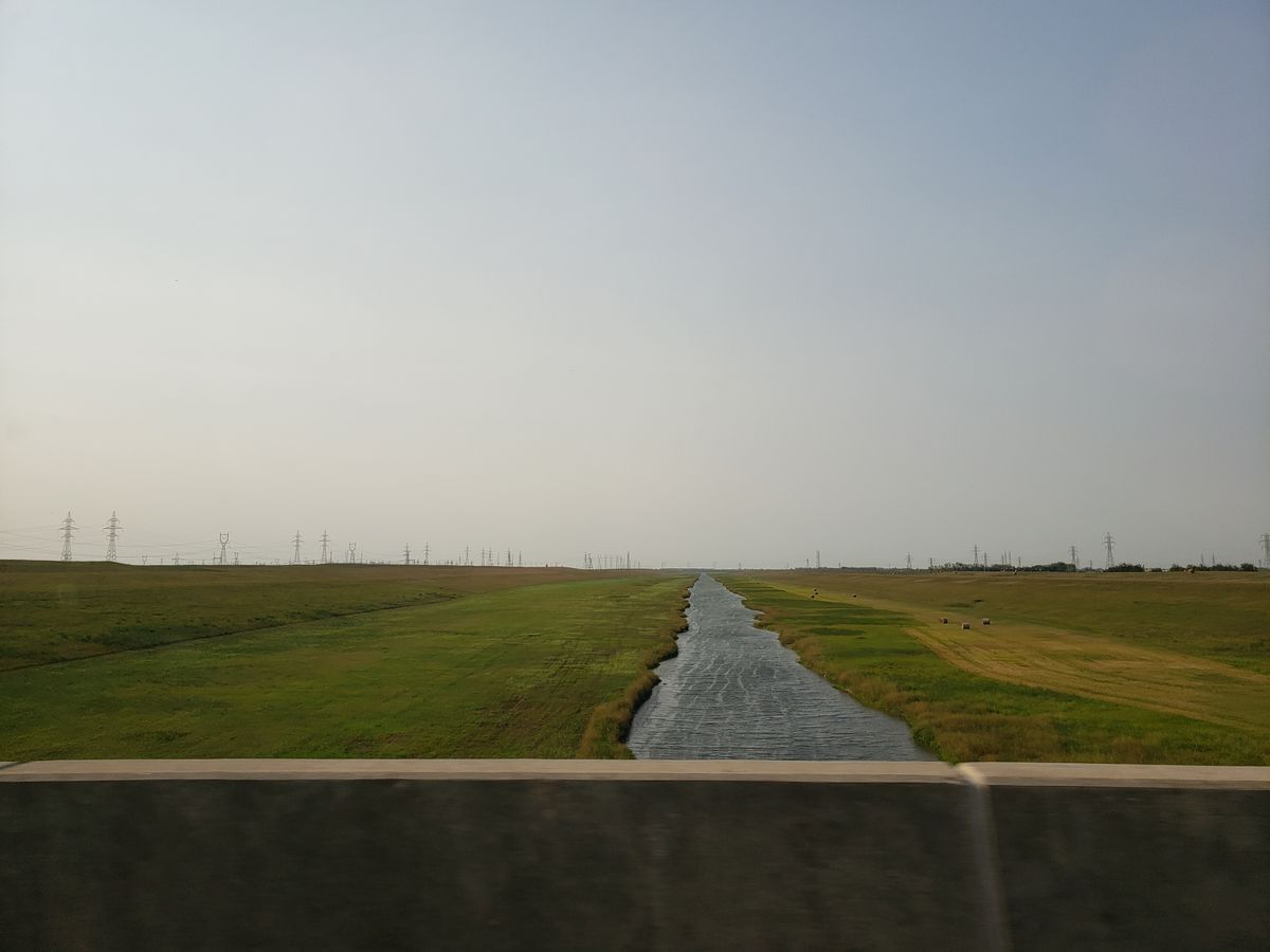
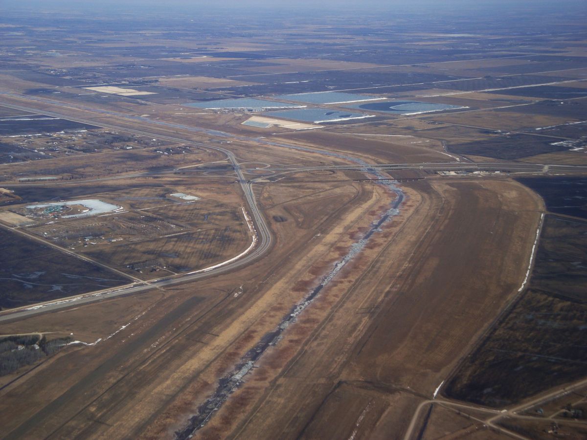
The Red River Floodway is a massive piece of engineering glory. The floodway is basically a massive ditch that diverts the spring meltwater around the city of Winnipeg to avoid catastrophic flooding.
It was completed in 1968 after six years of construction at a cost of $63 million, but has prevented over $40 billion in flood-related damages since its construction. The ditch earned the nickname "duff's ditch" after the premier Duff Robin whose provincial government began the massive project. Only the construction of the Panama Canal has moved more earth, with 76.5 million cubic meters (2.75 billion cubic feet) of earth excavated.
Originally capable of diverting 2,500 cubic meters per second, the floodway was expanded to handle 4,000 cubic meters per second in the 2000s. For comparison, the Rhine river, Europe's major inland waterway, has a flow of only 2,900 cubic meters per second.
Related Tags
Know Before You Go
Easy to get to through many overpasses on the eastern edge of Winnipeg, free to anyone!
Community Contributors
Added By
Published
May 8, 2019