Trips Places Foods Stories Newsletters
Loading...
Loading...
Loading...
Loading...

No search results found for
“”

Make sure words are spelled correctly.

Try searching for a travel destination.

Places near me Random place

Popular Destinations

  • Paris
  • London
  • New York
  • Berlin
  • Rome
  • Los Angeles
Trips Places Foods Stories Newsletters
Sign In Join
Places near me Random place
All the United States Arizona Flagstaff Picture Canyon

Picture Canyon

A nature and cultural preserve named for its multitude of petroglyphs carved by the Northern Sinagua people.

Flagstaff, Arizona

Added By
Brett Iredell
Email
Been Here
Want to go
Added to list
CAPTION
The path along the Tom Moody Trail that leads to the waterfall at Picture Canyon.   Bobby Chin/cc by-sa 4.0
Petroglyphs at Picture Canyon   public domain
Petroglyphs at Picture Canyon   Winston Fraser / Alamy
Picture Canyon scenery, petroglyphs on boulder in foreground.   WhiskeyBristles / Atlas Obscura User
Picture Canyon waterfall.   WhiskeyBristles / Atlas Obscura User
Waterfall at Picture Canyon.   https://en.wikipedia.org/wiki/File:Picture...
Northern Sinagua pithouse ruins.   WhiskeyBristles / Atlas Obscura User
Bridge   maryflowers27 / Atlas Obscura User
Crumbling remains of a railroad trestle.   WhiskeyBristles / Atlas Obscura User
Dedication plaque.   WhiskeyBristles / Atlas Obscura User
Bird Petroglyphs   GigiElmes / Atlas Obscura User
Bird panel  
  brendonstinson / Atlas Obscura User
Trail map   jefftml / Atlas Obscura User
  mocchiatto / Atlas Obscura User
Picture Canyon scenery.   WhiskeyBristles / Atlas Obscura User
  maryflowers27 / Atlas Obscura User
  maryflowers27 / Atlas Obscura User
Been Here
Want to go
Added to list

About

For many centuries, the Northern Sinagua people lived in the deserts of central and northern Arizona. Translating to “without water,” their name is derived from the name the Spanish Conquistadors gave the area when they arrived, shocked that people were able to survive in such an arid region.

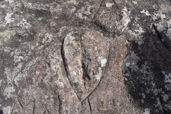
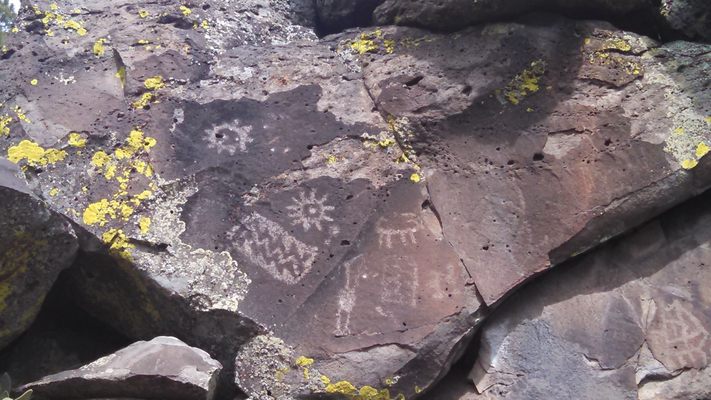
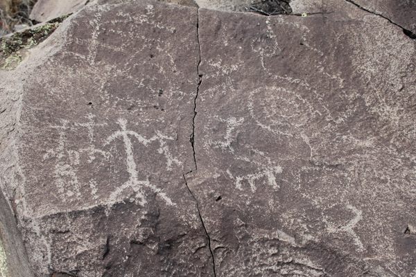
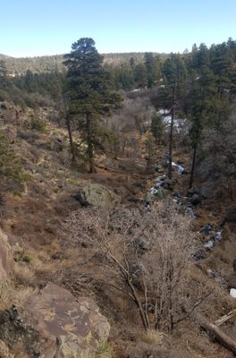
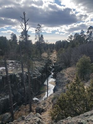
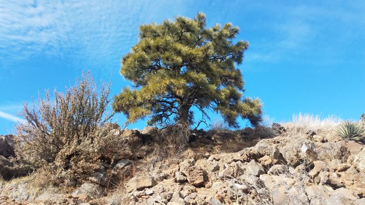
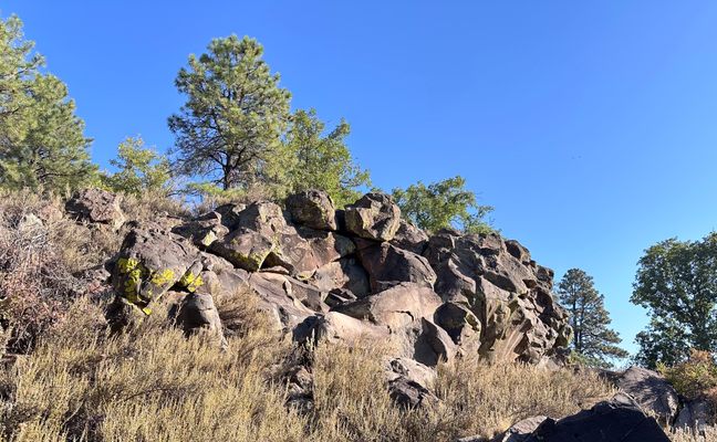
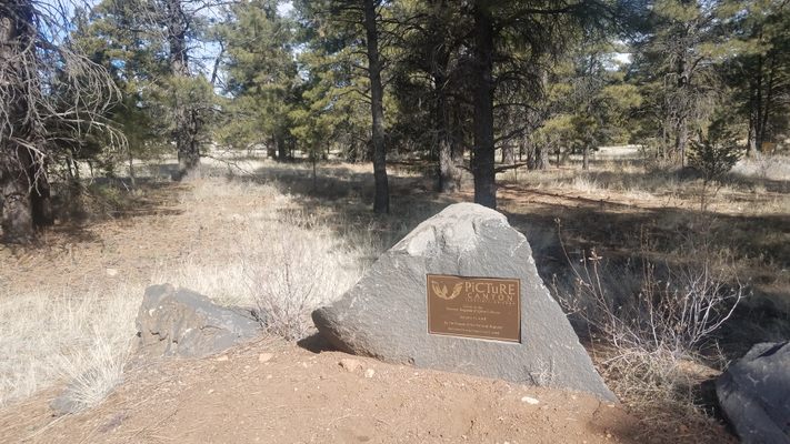
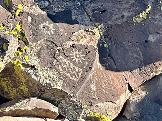
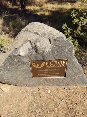
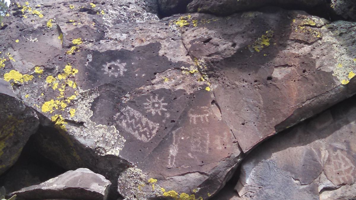
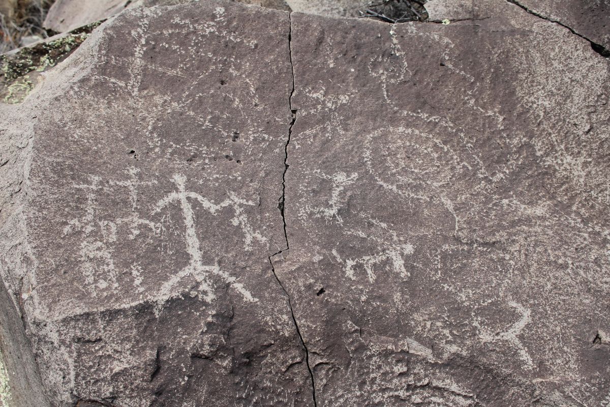
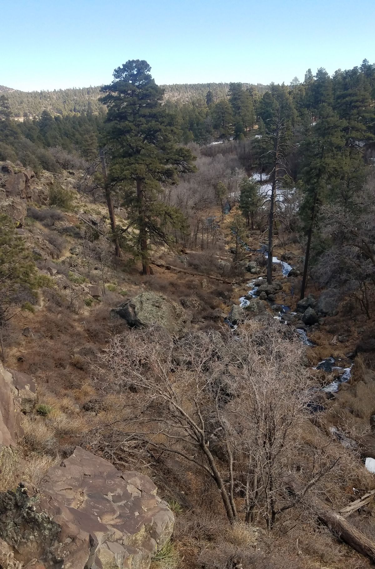
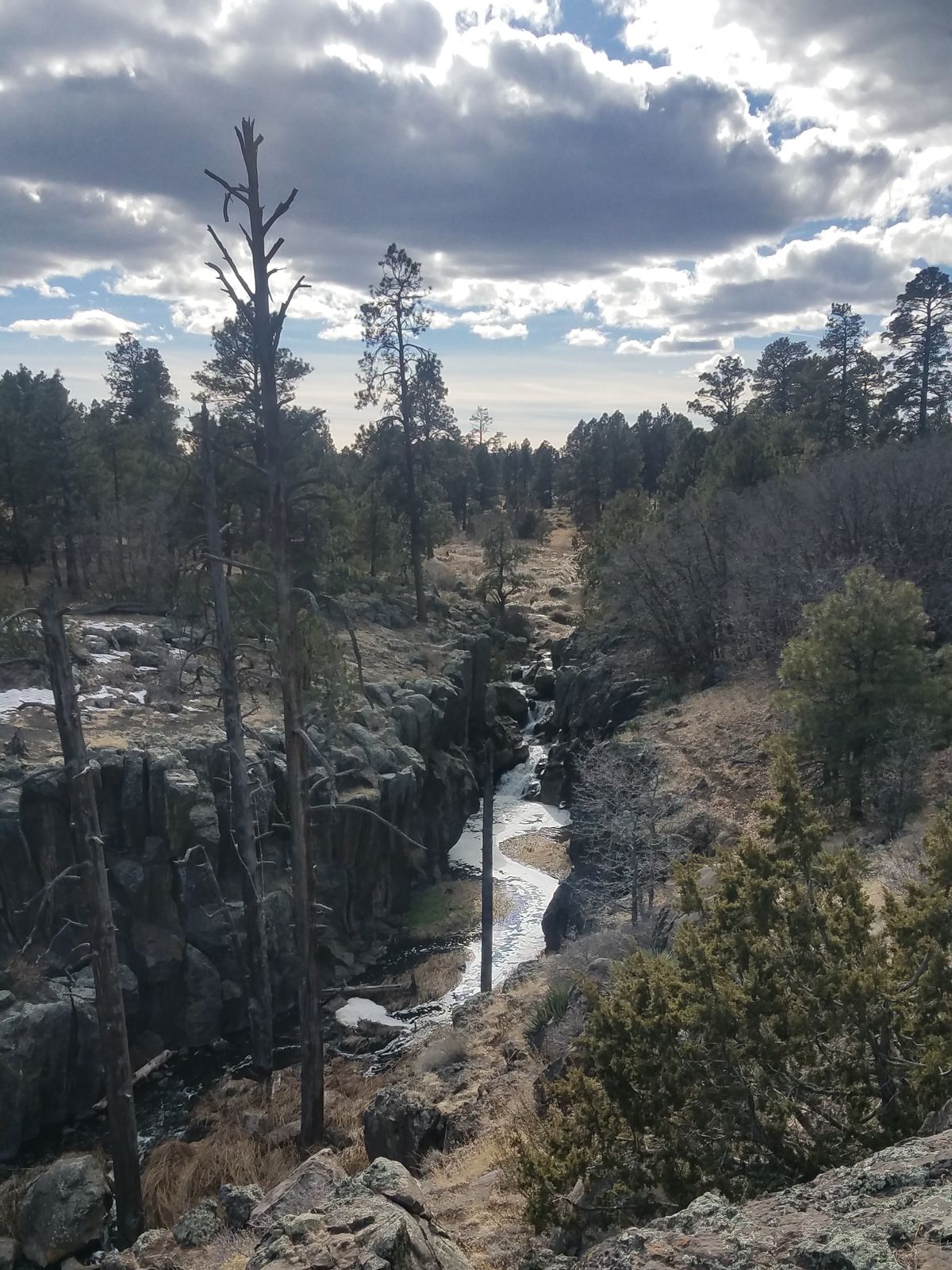
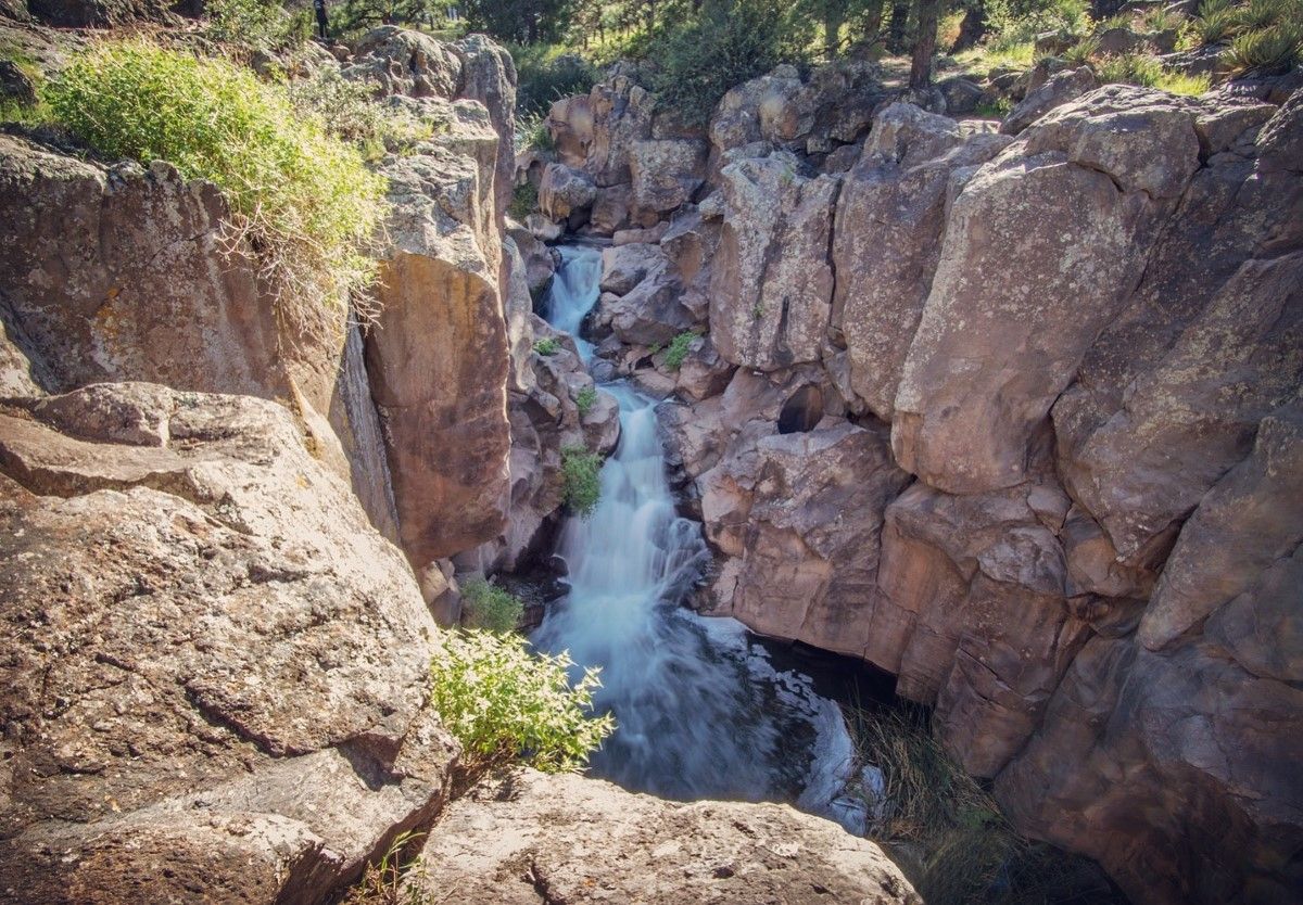
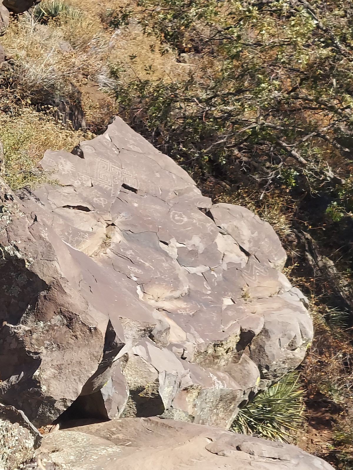
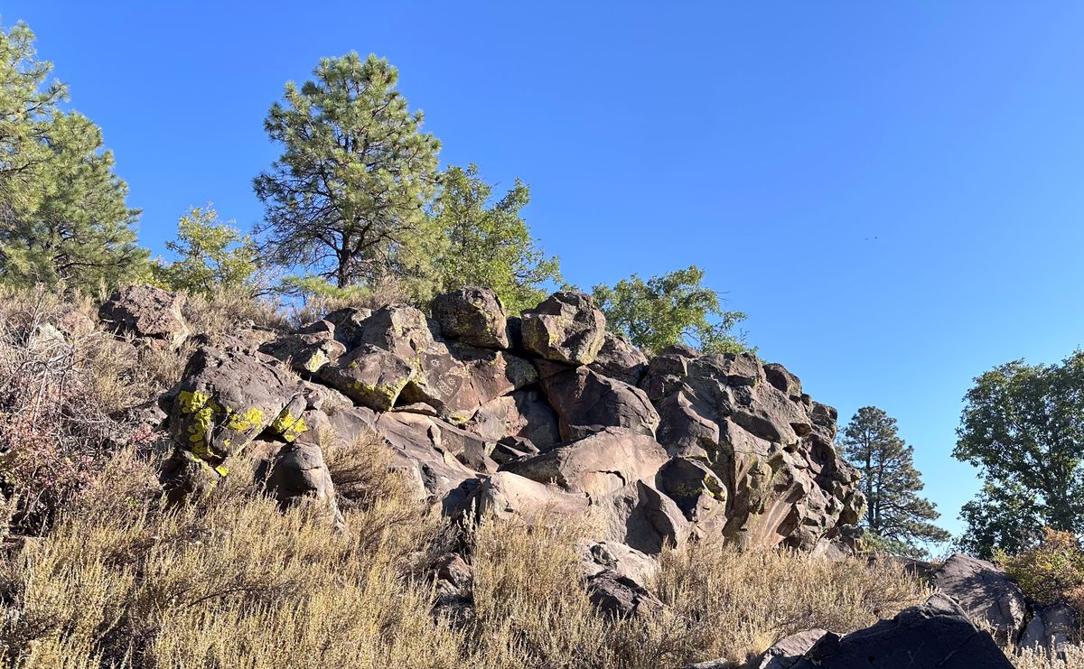
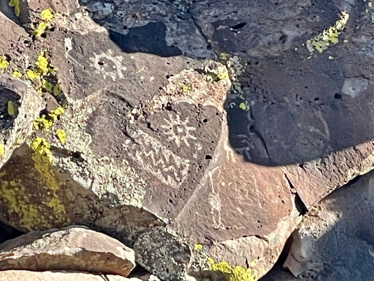
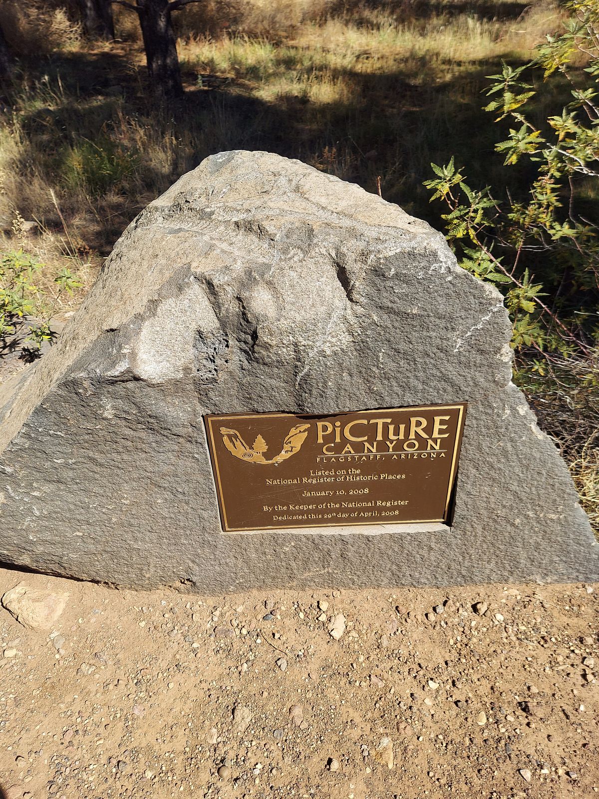
The Northern Sinagua people inhabited what is now Flagstaff, Arizona, from around 700 to 1300. Today, a large and scenic nature preserve within the city protects rare wetlands, birds and other wildlife, and the more than 150 Sinagua petroglyphs that gave Picture Canyon its name. 

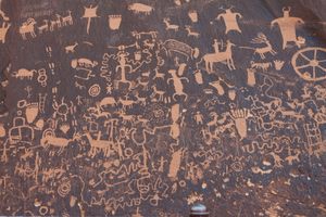
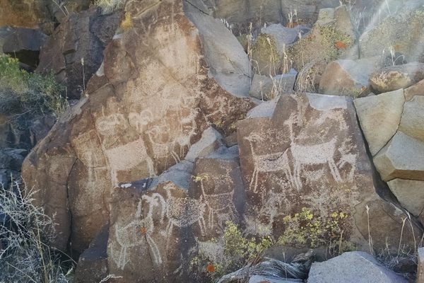
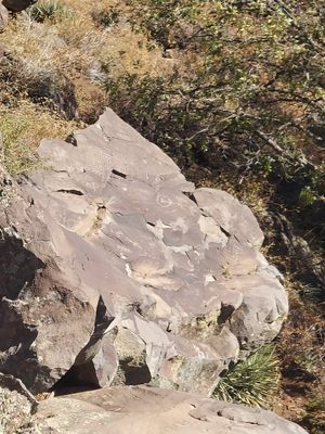
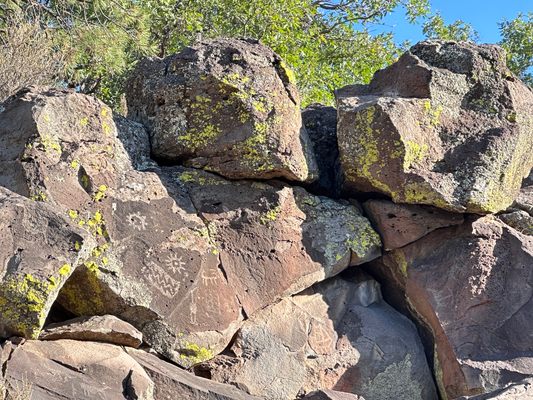
The Sinagua people were primarily hunter-gatherers, but they did practice some limited agriculture after picking up irrigation techniques from their neighbors, the Hohokam tribe. Etched on rocks throughout the area, the petroglyphs in Picture Canyon depict scenes from this tribal life, such as hunters and animals like deer, elk, bighorn sheep, and water birds.

For reasons that are not totally understood—possibly drought, resource depletion, clashes with the neighboring Yavapai people, a changing climate, or some combination of these factors—the Northern Sinagua people left the region and resettled elsewhere, possibly becoming the early ancestors of the Hopi, Zuni, or Pima peoples.

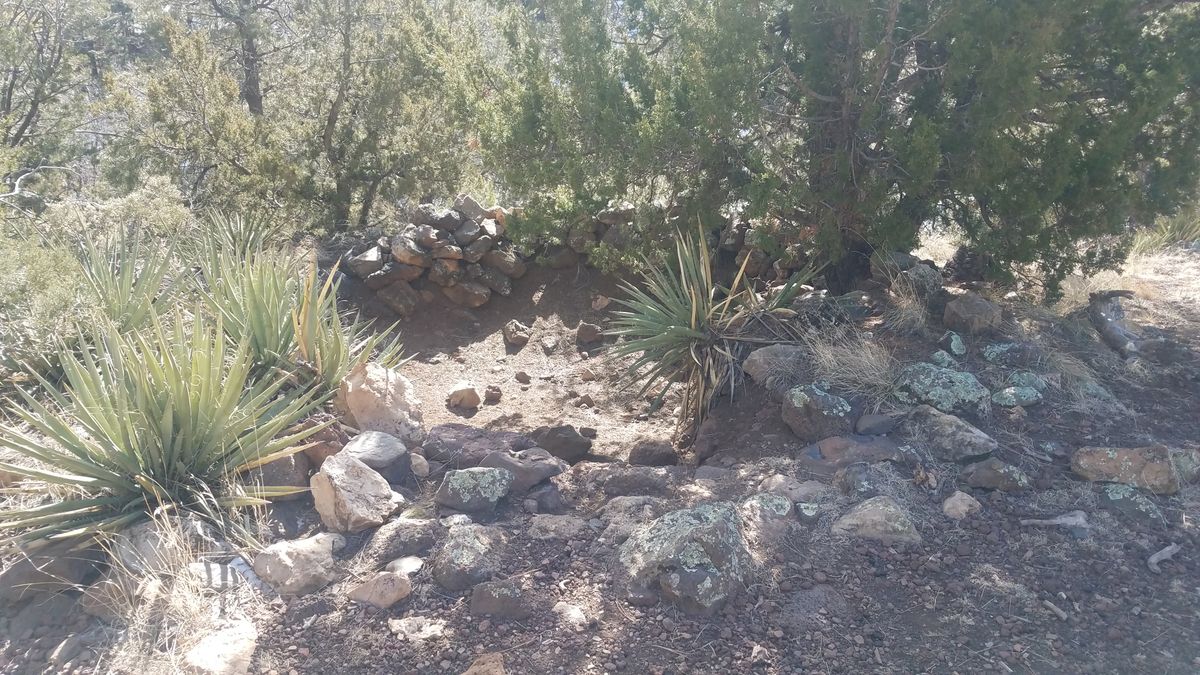
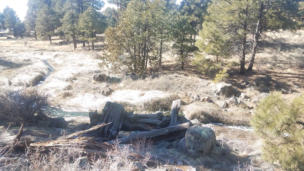
For many centuries thereafter Picture Canyon was neglected and the growth of the city of Flagstaff began threatening the archaeological sites. Timber companies constructed railroads across the area in the early 20th century. The Arizona archaeologist Harold S. Colton took note of the area and studied it in 1928 but in the process unceremoniously looted the graves he uncovered there. Later, the El Paso company gas line was laid across the area and likely destroyed many historical sites in the process. The canyon also became a dumping ground by locals for cars, mattresses, and other garbage.

For many years the petroglyphs and other archaeological sites in Picture Canyon were a little-known secret. As the city of Flagstaff kept growing, development encroached on the area. Citizens began advocating for the restoration and preservation of this picturesque landscape. They organized several cleanup efforts, including having cranes brought in to remove the abandoned and rusting cars. 

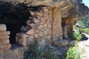
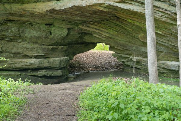
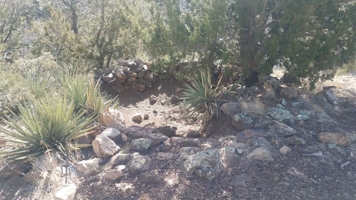
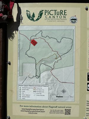
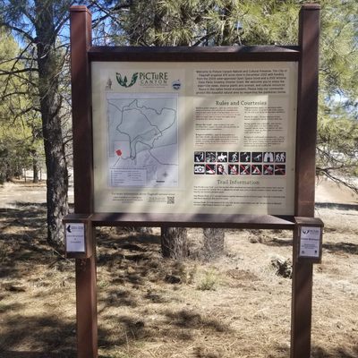
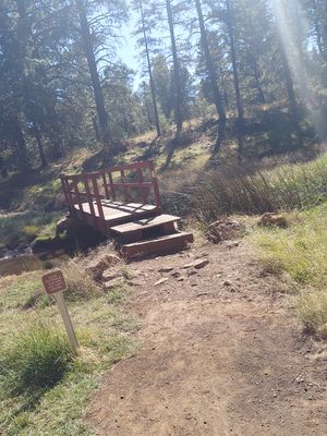
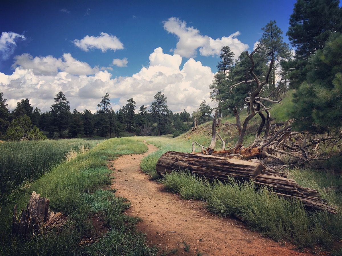
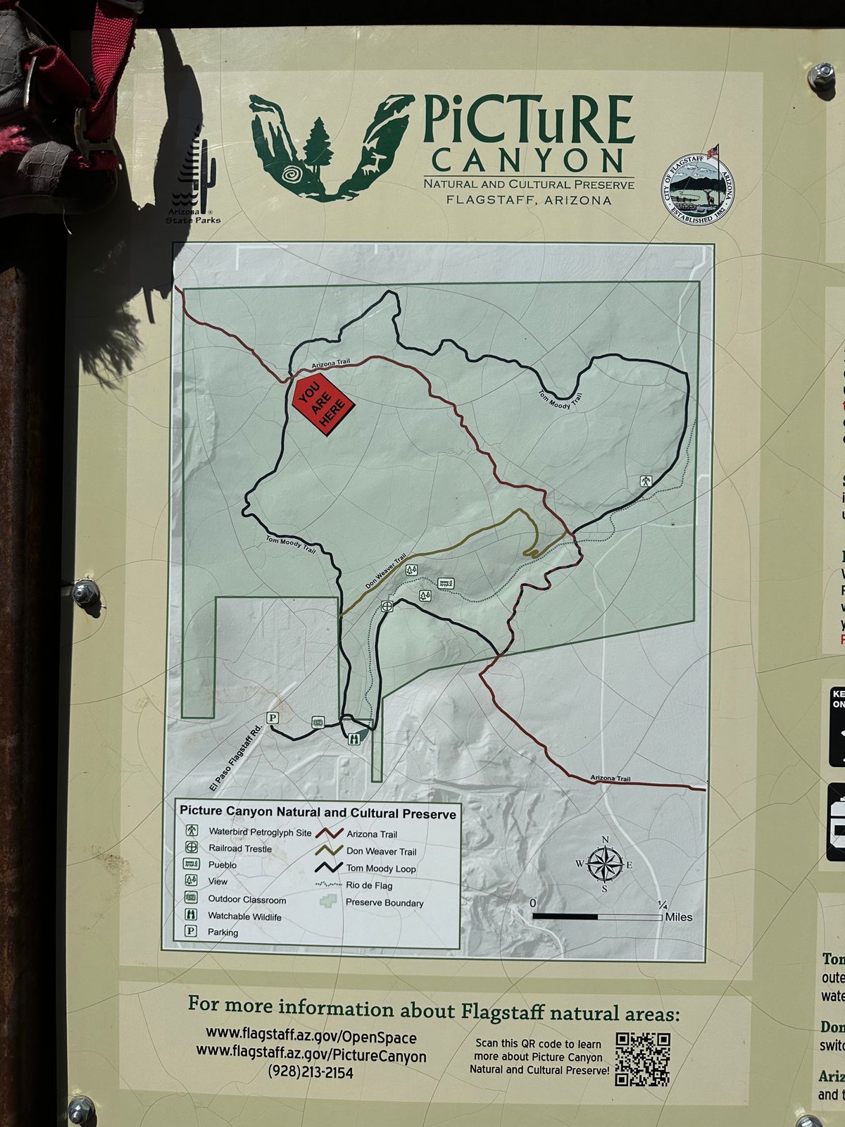
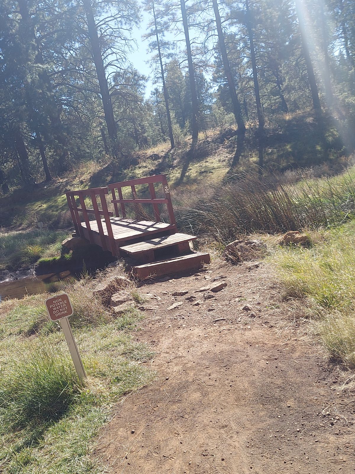
Their efforts paid off, and today the Picture Canyon Natural and Cultural Preserve includes a small network of trails looping around the canyon and the surrounding area. Observant visitors can spot the numerous petroglyphs etched by the Northern Sinagua people throughout the preserve, along with the ruins of some pithouses constructed many centuries ago, and other archaeological artifacts.

Related Tags

Petroglyphs Native Americans Archaeology Nature Nature Preserves History Wildlife Sanctuaries

Know Before You Go

The map coordinates above lead to the parking area and trailhead. The Picture Canyon Natural and Cultural Preserve is free to enter but only open to daytime use. Please respect the cultural legacy of the place and do not touch or deface any petroglyphs you find, or remove any pottery shards or other artifacts you may encounter.

Community Contributors

Added By

WhiskeyBristles

Edited By

gretchengooby, maryflowers27, Meg, jefftml...

  • gretchengooby
  • maryflowers27
  • Meg
  • jefftml
  • mocchiatto
  • GigiElmes
  • brendonstinson

Published

February 4, 2019

Edit this listing

Make an Edit
Add Photos
Sources
  • https://www.flagstaff.az.gov/2881/Picture-Canyon
  • https://hikearizona.com/decoder.php?ZTN=1997
  • https://en.wikipedia.org/wiki/Picture_Canyon_Natural_and_Cultural_Preserve
  • http://grandcanyoncollective.com/2018/09/04/cool-spaces-in-hot-places-picture-canyon/
  • http://friendsoftheriodeflag.org/discover-the-rio/picture-canyon-acquisition/
Picture Canyon
3920 N El Paso Flagstaff Rd
Flagstaff, Arizona
United States
35.227075, -111.557156
Visit Website
Get Directions

Nearby Places

The Museum Club

Flagstaff, Arizona

miles away

Grover the Geologic Rover

Flagstaff, Arizona

miles away

Walnut Canyon

Flagstaff, Arizona

miles away

Explore the Destination Guide

Photo of Flagstaff

Flagstaff

Arizona

Places 22

Nearby Places

The Museum Club

Flagstaff, Arizona

miles away

Grover the Geologic Rover

Flagstaff, Arizona

miles away

Walnut Canyon

Flagstaff, Arizona

miles away

Explore the Destination Guide

Photo of Flagstaff

Flagstaff

Arizona

Places 22

Related Stories and Lists

8 Ways to Explore the Past Through Native American Petroglyphs

List

By Jonathan Carey

Related Places

  • Rock Art at Ubirr depicting a long-necked turtle.

    Kakadu, Australia

    Ubirr Rock Art

    Kakadu National Park is known for its stunning beauty and its rock art, which represents the longest historical records of any continuous civilization on Earth.

  • Inyo County, California

    Coso Rock Art District

    A mountain range on an active U.S. Navy base hides thousands of mysterious prehistoric rock carvings.

  • A pictograph at Bear Gulch.

    Forest Grove, Montana

    Bear Gulch Pictographs

    A scenic ravine with an astounding collection of rock art created by the Indigenous people of the Great Plains.

  • Globe, Arizona

    Besh-Ba-Gowah Archaeological Park and Museum

    The remains of a large pueblo village constructed by the Salado culture, who occupied the region more than 600 years ago.

  • Bontoc, Philippines

    Alab Petroglyphs

    Engravings of penises and vaginas on a boulder in the Philippines dates local tribal history back to the Bronze Age.

  • A wall of sandstone with a small opening

    Covington, Indiana

    Portland Arch

    One of Indiana's only natural sandstone arches is nestled between resort ruins and an old Boy Scouts camp.

  • 8 foot tall Owl Rock

    Atlanta, Georgia

    Owl Rock

    This Native American petroglyph marks the location of an important, Creek trail.

  • Sunset on Waites Island.

    Waites Island, South Carolina

    Waites Island

    A wildlife-filled oasis just off the coast of Myrtle Beach.

Aerial image of Vietnam, displaying the picturesque rice terraces, characterized by their layered, verdant fields.
Atlas Obscura Membership

Become an Atlas Obscura Member


Join our community of curious explorers.

Become a Member

Get Our Email Newsletter

Follow Us

Facebook YouTube TikTok Instagram Pinterest RSS Feed

Get the app

Download the App
Download on the Apple App Store Get it on Google Play
  • All Places
  • Latest Places
  • Most Popular
  • Places to Eat
  • Random
  • Nearby
  • Add a Place
  • Stories
  • Food & Drink
  • Itineraries
  • Lists
  • Video
  • Podcast
  • Newsletters
  • All Trips
  • Family Trip
  • Food & Drink
  • History & Culture
  • Wildlife & Nature
  • FAQ
  • Membership
  • Feedback & Ideas
  • Community Guidelines
  • Product Blog
  • Unique Gifts
  • Work With Us
  • About
  • FAQ
  • Advertise With Us
  • Advertising Guidelines
  • Privacy Policy
  • Cookie Policy
  • Terms of Use
Atlas Obscura

© 2025 Atlas Obscura. All Rights Reserved.