


About
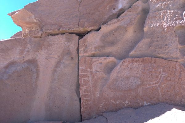
Picketwire Canyon is a shallow canyon in southeastern Colorado on El Rio de Las Animas Perdidas en Purgatorio or the River of Souls Lost in Purgatory. Within the canyon are the Delores Mission Ruins, the remains of Wineglass Ranch which belonged to a prominent 19th century ranching family, tracks from the Santa Fe Trail, numerous Fremont era native American archeological sites, a few ghosts from a lost troop of conquistadors.
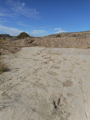
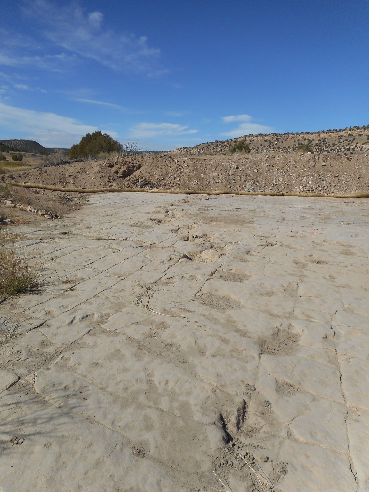
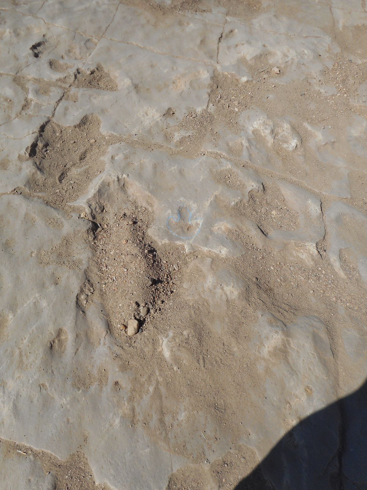
But the real reason people visit the Picketwire, bastardized from the poetic name, is to see the tracks of strolling dinosaurs along a large inland sea from the Jurassic era.
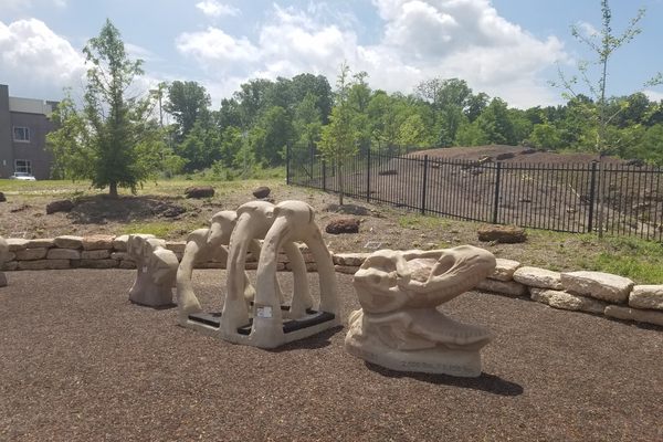
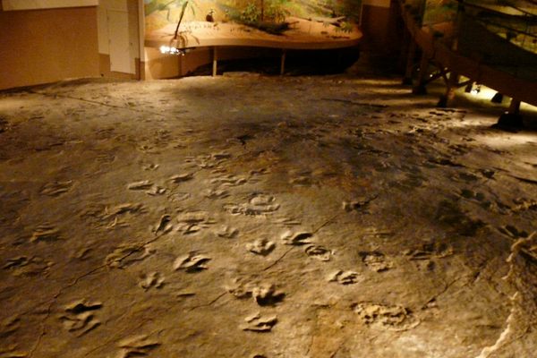
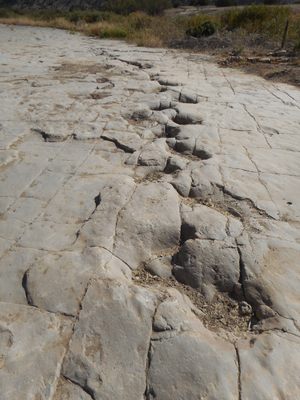
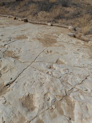
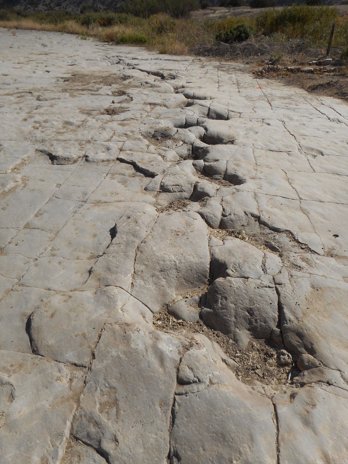
The dinosaur trackway contains 1,300 tracks in 100 separate trackways over a quarter-mile of limestone deposits on either side of the river. Most of the tracks are from either Apatosaurus or Allosaurus. The apatosaurus tracks are the most prominent and indicate herding behavior with the larger tracks flanking either side of several smaller tracks.
The allosaur tracks are those of a single animal hunting the apatosaurs. One shows a distinct slide in the mud as it makes a sharp turn to avoid the allosaur. Recent removal of sediments on top of the trackway shows several allosaurs that may be hunting together. The allosaurus tracks show animals approaching with long strides and going into a short stride stalk. One may even show one of three allosaurs “springing” towards prey. This is the first set of tracks you see when you approach the river.
There are other, older, indications of dinosaur behavior not usually seen in trackways as well. One area, called the “trample” zone, is just a series of overlying tracks in an area that seems to be, well, trampled. But upon closer inspection, long round furrows can be seen in the ground. These are tail drags which indicate mating behavior as the apatosaurus had a rigid upright tail.
The trackway is just part of the canyon's rich and haunting history. The River of Souls Lost in Purgatory gets its name, and its ghosts, from a Spanish expedition lead by Francisco Leyva de Bonilla, a Portuguese captain in service to Spain and Capt. Pedro de Cazorlá, a Spanish captain. They were originally chasing Native American raiders but the stories of Quivira woven by the Pecos Pueblo Indians filled Bonilla’s head with thoughts of glory.
Cazorlá claimed that Bonilla was committing treason to the Spanish Crown and returned with a portion of the force to Peco Pueblo. Bonilla and his lieutenant, Antonio Gutiérrez de Humaña, pressed onward towards the high plains of Colorado. Because Bonilla was Portuguese, Humaña, chafed at taking orders from him and he argued with Bonilla over the campfire one night. Hot words were exchanged and Bonilla lay dead, his blood dripping from the dagger of Antonio Gutiérrez de Humaña.
The priests with the troop upon seeing Bonilla lying in a pool of blood vowed that they would not follow a murderer nor would they administer rights or communion to anyone who would. Along with a small band they returned to New Spain, leaving Humaña in command of a diminished, but still determined troop. Gold and glory were far more important to Humaña than sanctimonious priests! Humaña pushed on over Raton Pass and into the maw of the Comanche nation.
On the edge of a canyon of a small high plains creek, the Comanche surrounded the force at a place called the La Matanza, or "The Slaughter," and drove them to the edge with a grass fire. They then killed them to a man. Having no priest to offer them last rites or absolution, their souls were condemned to wander the banks of this insignificant river pouring out of the Spanish Peaks for eternity. Their moans of grief can still be heard echoing in the canyons of this tiny river.
Related Tags
Know Before You Go
The canyon doesn’t have water that is suitable for drinking. The Purgatory River is very alkaline and not filterable. The canyon can also be extremely hot in the summer and extremely cold in the winter. The best times to visit are May and early June or late September and October. Food and water are available in La Junta, Colorado, which is 25 miles north of the canyon. Cars are not allowed in the canyon except on guided tours that are available on Saturdays in May, June, September, and October.The park service states that a high clearance (8" or more) 4WD vehicle is required, although 2WD would actually be sufficient if it has the clearance. Most SUVs would be capable enough. The canyon and trackway can be accessed from the Withers Canyon trailhead. Travel is open to horseback riding, hiking, and mountain biking. Round trip distance to the trackway is 10 miles. The access from the canyon rim is steep but short and the trail within the canyon is relatively flat. If you are mountain biking (by far the easiest way of reaching the trackway without a car) take a patch kit with extra patches, several extra tubes and sealant in the tubes. Goatheads are endemic in this area and a ride into the canyon will result in an epic number of flats.
Community Contributors
Added By
Published
November 1, 2016