


About
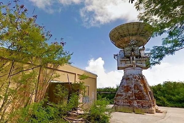
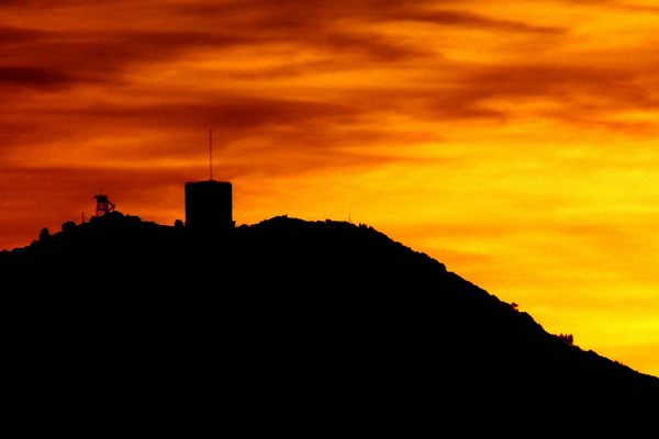
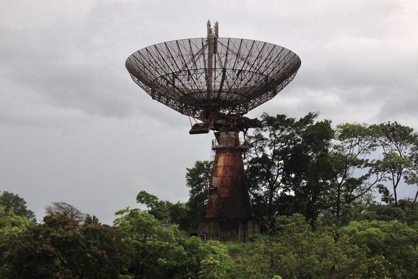
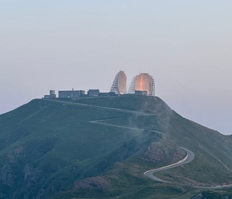
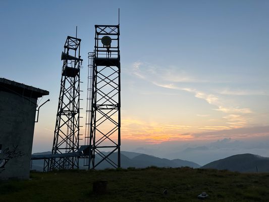
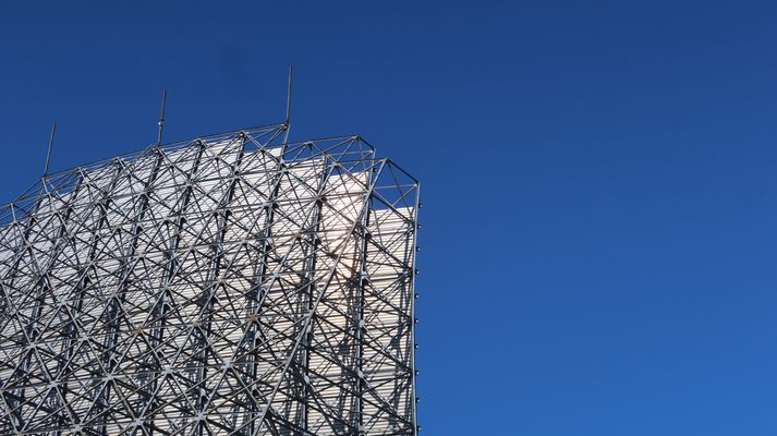
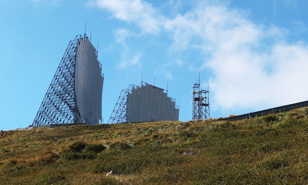
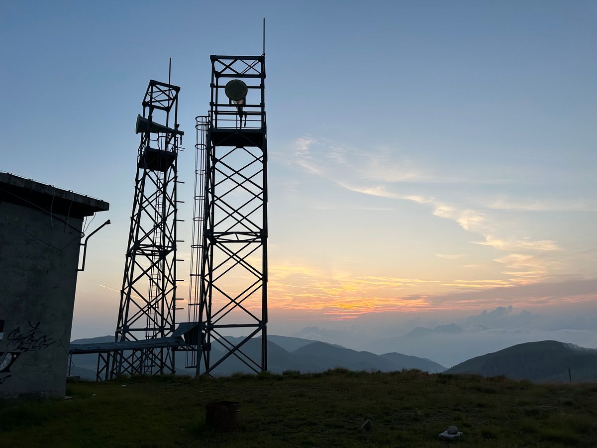
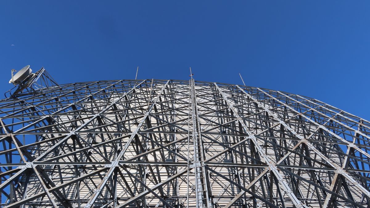
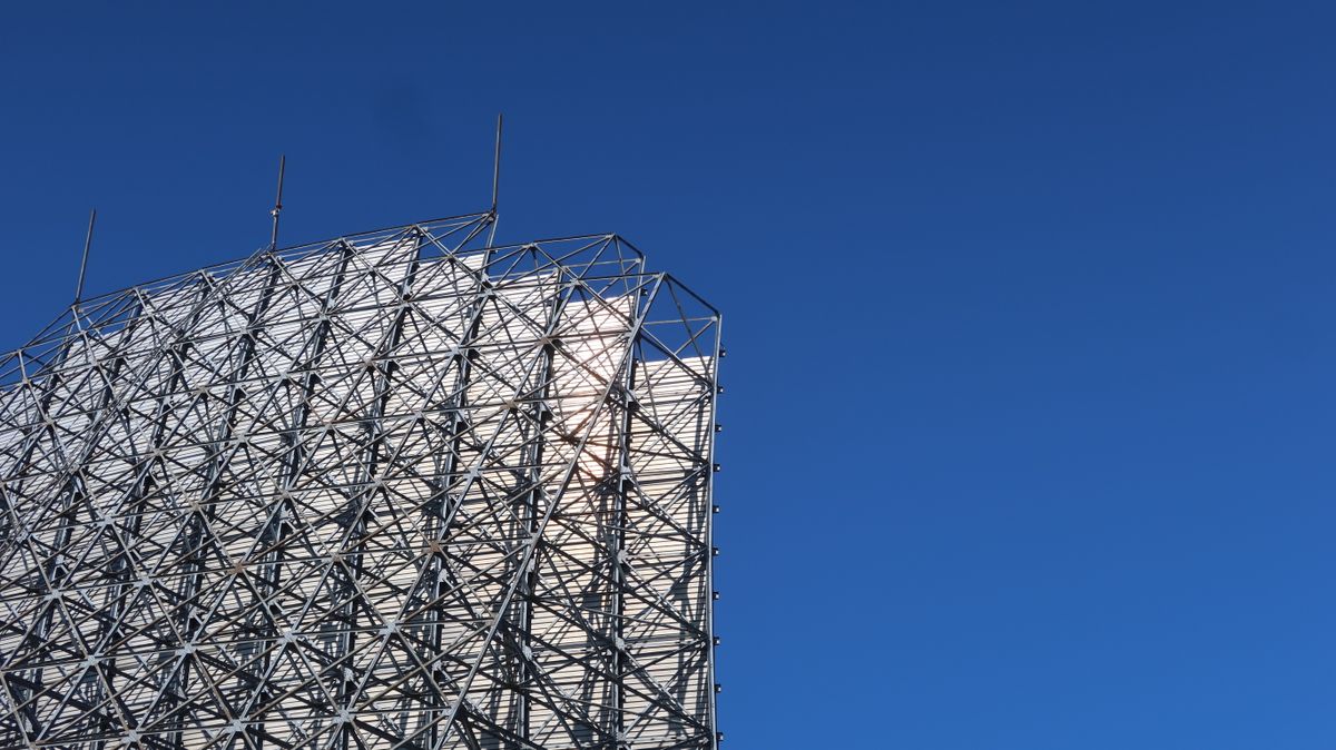
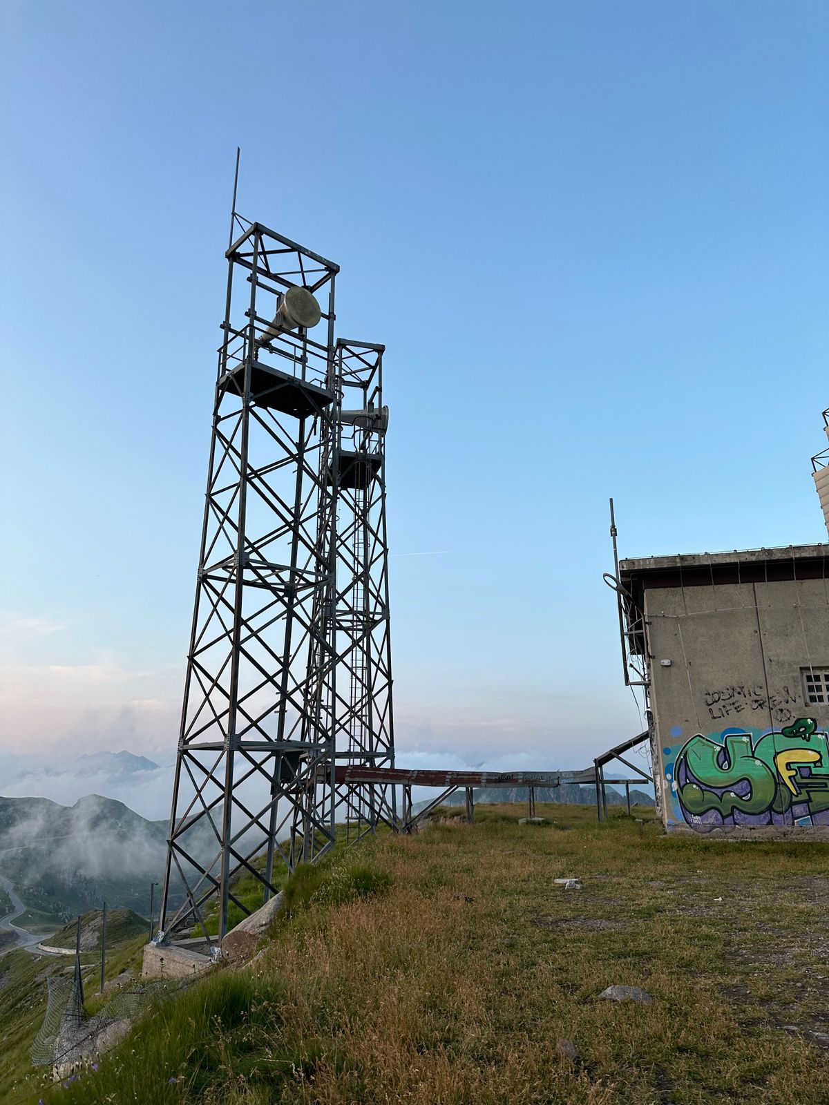
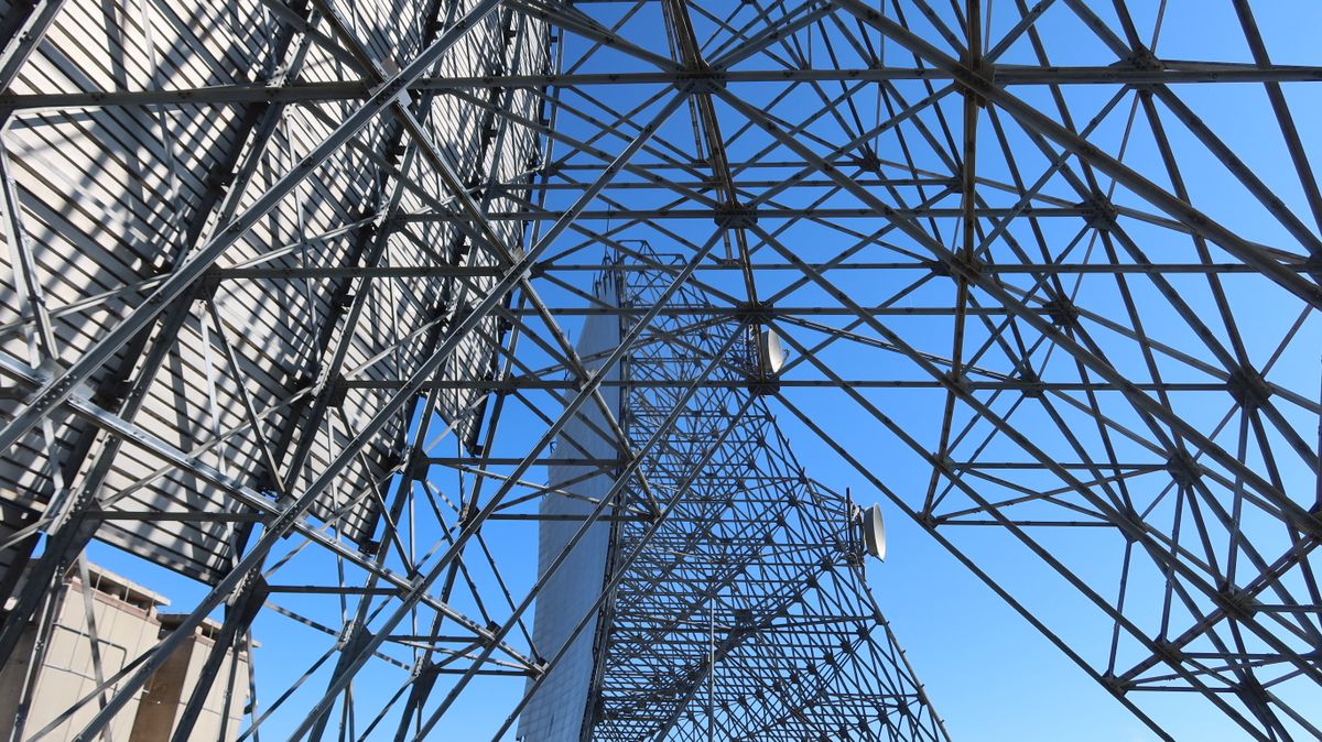
The North Atlantic Treaty Organization (NATO) Troposcatter Station IDGZ was a telecommunications station located on top of Dosso dei Galli in the Brescia Alps. The station, which operated from 1969 to 1995, was part of the ACE High system, a radio communication network that connected NATO from North to South.
The IDGZ station was connected to the German Feldberg station to the north and the Italian Monte Giogo station to the south. The station used troposcatter technology, which allowed for line-of-sight communication even when the two stations are beyond the horizon. Troposcatter technology is reliable and works even in adverse weather conditions.
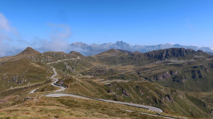
The IDGZ station was an important part of the ACE High system. The ACE High network enabled NATO to communicate quickly and securely during the Cold War. The station was closed in 1995, but its remains can still be visited in the late spring through late fall months (Apr-Nov) when SP345 is open over the mountain pass.
Related Tags
Know Before You Go
Although NATO Troposcatter Station IDGZ is officially under the Bagolino municipality, it is located about 20 km away from Bagolino (8 km by crow's flight). This is due to the countless switchbacks to climb to the top of the mountain where the station is.
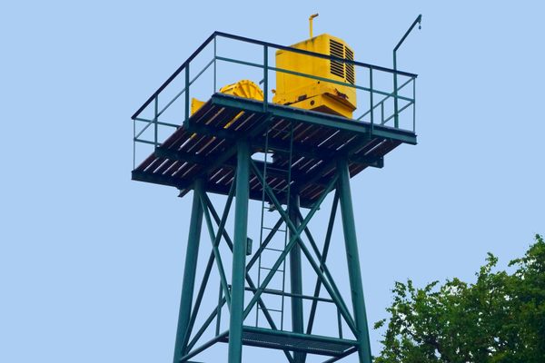
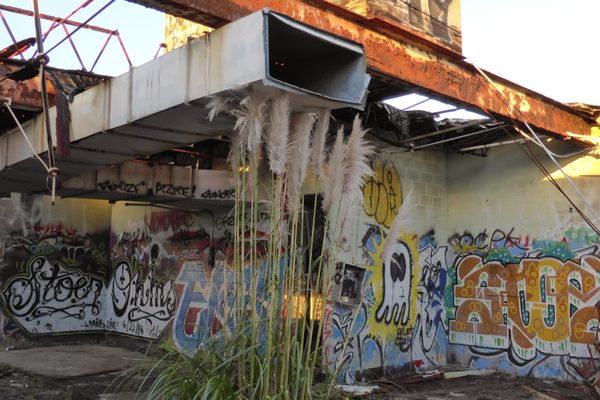
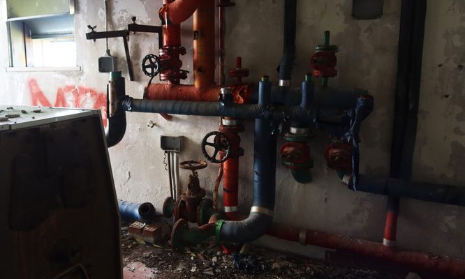
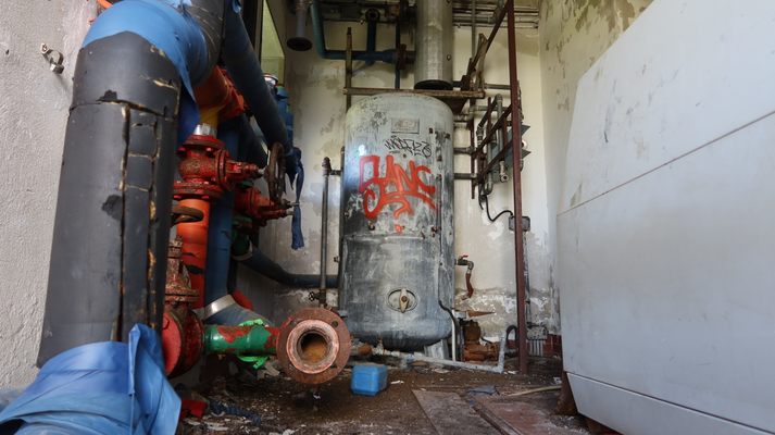
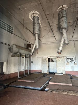
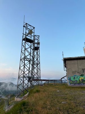
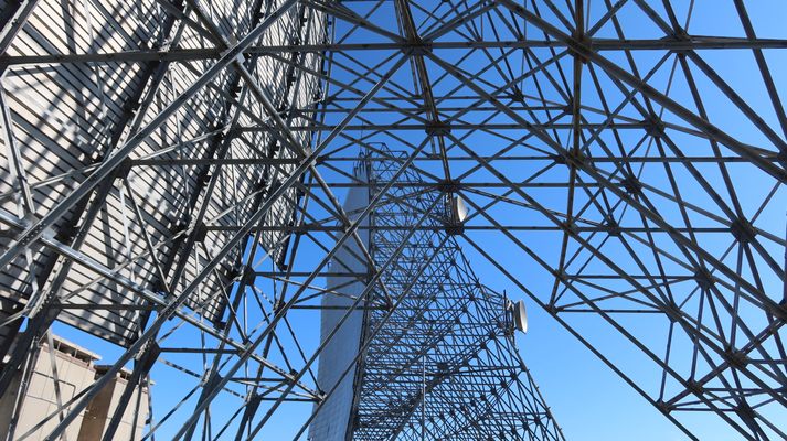
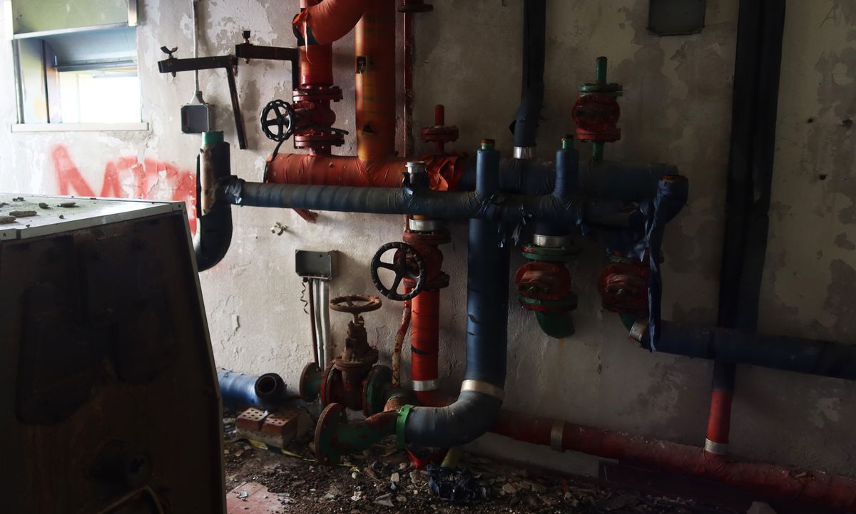
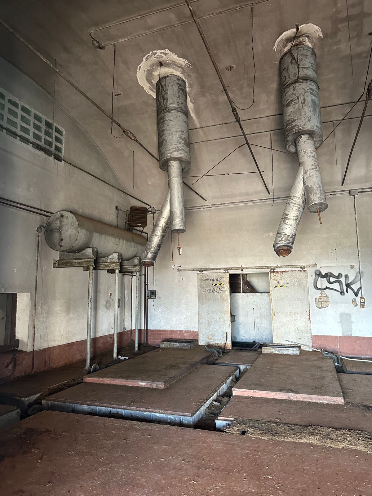
There is an entry gate that is usually locked and blocked with boulders. You can park a vehicle outside and walk along the paved road for about 15 minutes to visit the remaining structures including, radar dishes, bunk rooms, a power station, and a 4th-floor crow's nest. (Only accessible by road Apr to Nov, road condition dependent).
Flavors of Italy: Roman Carbonara, Florentine Steak & Venetian Cocktails
Savor local cuisine across Rome, Florence & Venice.
Book NowPublished
August 29, 2023